Loading...
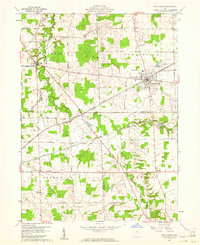
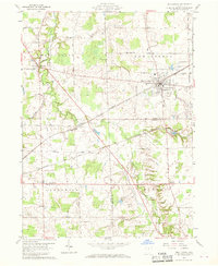
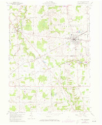
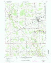
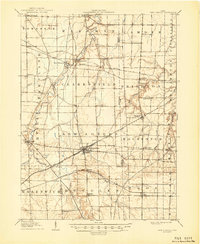
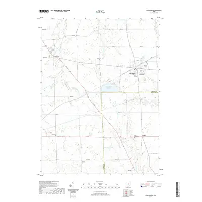
Loading map...1960 Map of New London
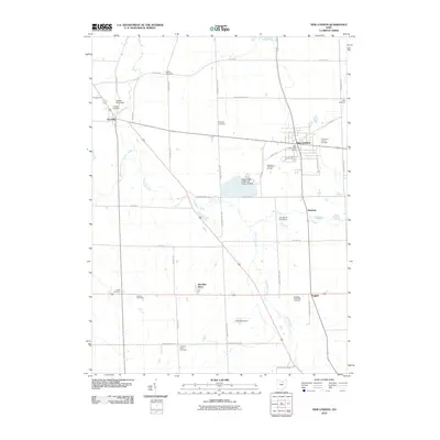
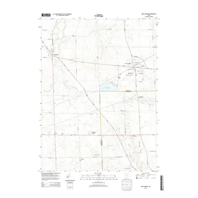
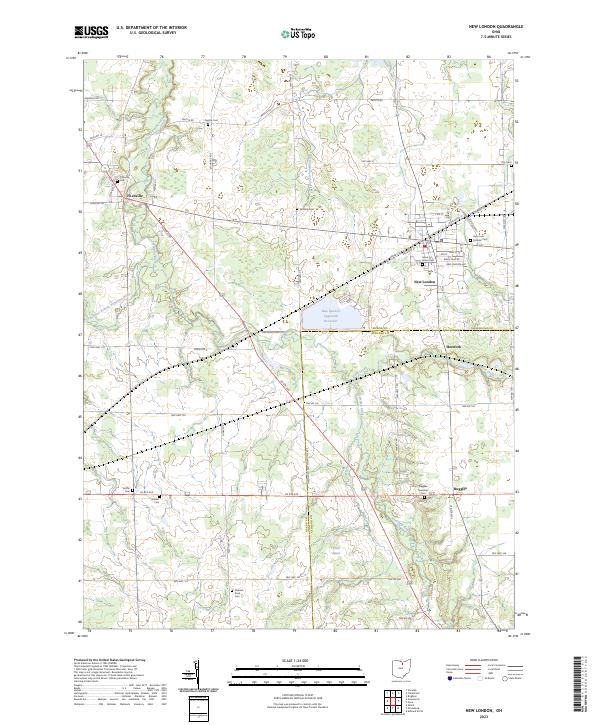
USGS Topo · Published 1961About this map
New London serves as a significant rail junction in North Central Ohio, where the Baltimore and Ohio and the Akron Canton and Youngstown lines converge with the NYC tracks. This 1960 era survey highlights a landscape defined by traditional agrarian divisions, with clear townships such as Fitchville and Greenwich and numerous small family or township burial grounds including Kniffin Cem and Ninevah Road Cem.
Find a feature on this map
33 named features on this map. Tap any name to fly to it.
Don’t see what you’re looking for? This feature index may not catch every label — zoom into the map to look around manually.
Map Details
Date Portrayed1960
Date Published1961
PublisherU.S. Geological Survey
Map TypeTopographic
Scale1:24,000
Physical Dimensions22.1 x 27 inches
Editions of this 1960 New London Map
4 editions found
Historical Maps of New London Through Time
7 maps found
Featured Locations
- Ruggles Township, OH
- New London Township, OH
- Fitchville, Fitchville Township
- New London, New London Township
- Ruggles, Ruggles Township
Source Details
SourceU.S. Geological Survey
CopyrightPublic Domain