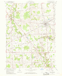
1960 Map of New London
USGS Topo · Published 1969About this map
New London stands as the primary rail hub in this 1960 survey, situated at the busy intersection of the New York Central and Youngstown and the Akron Canton and Youngstown railroads. The town's industrial footprint is evidenced by a Sewage Disposal facility and a nearby Landing Field to the northeast. To the west, Fitchville sits along the Vermilion River, where the Southwest Branch joins the main flow.
Find a feature on this map
31 named features on this map. Tap any name to fly to it.
Don’t see what you’re looking for? This feature index may not catch every label — zoom into the map to look around manually.
Map Details
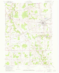
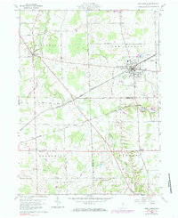
Editions of this 1960 New London Map
4 editions found
Other maps of this area

1908 · Ashland
USGS Topo · 1:62,500

1908 · New London
USGS Topo · 1:62,500

1915 · Norwalk
USGS Topo · 1:62,500

1915 · Crestline
USGS Topo · 1:62,500

1943 · Crestline
USGS Topo · 1:62,500

1944 · Norwalk
USGS Topo · 1:62,500

1950 · Marion
USGS Topo · 1:250,000

1956 · Toledo
USGS Topo · 1:250,000

1960 · New London
USGS Topo · 1:24,000
1960 · Greenwich
USGS Topo · 1:24,000