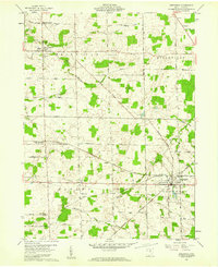
1960 Map of Greenwich
USGS Topo · Published 1961About this map
Greenwich sits at the heart of a productive agricultural landscape at the dawn of the 1960s, serving as a critical rail junction where the Baltimore and Ohio, New York Central, and Akron Canton and Youngtown railroads converge. This survey documents the area's rural character within the Connecticut Western Reserve, characterized by a grid of farm-to-market routes like Hanville Corners Road and Southwest Youngstown Road. Small settlements and crossroads such as North Fairfield, Delphi, and Boughtonville dot the landscape, supported by community fixtures like the Ripley Sch and Ripley Chapel. The terrain is defined by the headwaters of several systems, including the East Branch Huron River and the Vermilion River. Cultural landmarks like Reservoir Park and the Township Cem provide insight into the local genealogy and civic life of these historic Ohio townships.
Find a feature on this map
36 named features on this map. Tap any name to fly to it.
Don’t see what you’re looking for? This feature index may not catch every label — zoom into the map to look around manually.
Map Details
Editions of this 1960 Greenwich Map
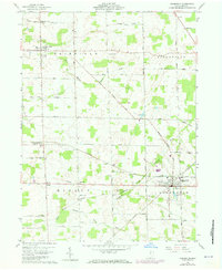
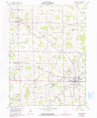
3 editions found
Other maps of this area

1908 · Ashland
USGS Topo · 1:62,500

1908 · New London
USGS Topo · 1:62,500

1915 · Norwalk
USGS Topo · 1:62,500

1915 · Crestline
USGS Topo · 1:62,500

1943 · Crestline
USGS Topo · 1:62,500

1944 · Norwalk
USGS Topo · 1:62,500

1950 · Marion
USGS Topo · 1:250,000

1956 · Toledo
USGS Topo · 1:250,000

1960 · New London
USGS Topo · 1:24,000

1960 · Willard
USGS Topo · 1:24,000