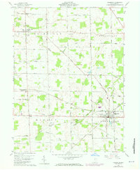
1960 Map of Greenwich
USGS Topo · Published 1973About this map
Greenwich serves as a significant rail crossroads in this southern Huron County landscape, where the Baltimore and Ohio, Penn Central, and A C & Y lines intersect. The 1960s era topography shows a region defined by its drainage basins, with the East Branch and West Branch of the Huron River carving through the western townships while the Vermilion River flows to the east.
Find a feature on this map
37 named features on this map. Tap any name to fly to it.
Don’t see what you’re looking for? This feature index may not catch every label — zoom into the map to look around manually.
Map Details
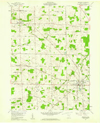
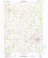
Editions of this 1960 Greenwich Map
3 editions found
Other maps of this area

1908 · Ashland
USGS Topo · 1:62,500

1908 · New London
USGS Topo · 1:62,500

1915 · Norwalk
USGS Topo · 1:62,500

1915 · Crestline
USGS Topo · 1:62,500

1943 · Crestline
USGS Topo · 1:62,500

1944 · Norwalk
USGS Topo · 1:62,500

1950 · Marion
USGS Topo · 1:250,000

1956 · Toledo
USGS Topo · 1:250,000

1960 · New London
USGS Topo · 1:24,000

1960 · Willard
USGS Topo · 1:24,000