
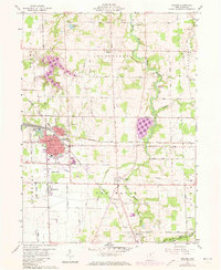
1960 Map of Willard
USGS Topo · Published 1961About this map
Willard serves as a significant rail hub in north-central Ohio, where the extensive lines of the Baltimore and Ohio railroad intersect with the regional road network. This 1960 era survey captures the city's grid just as the Willard Airport and nearby Celeryville supported the agricultural and transport economy of Huron County. To the southeast, the village of Plymouth spans the border near the West Branch Huron River, surrounded by a landscape of productive fields and woodlots defined by the Connecticut Western Reserve's original land lines.
Find a feature on this map
47 named features on this map. Tap any name to fly to it.
Don’t see what you’re looking for? This feature index may not catch every label — zoom into the map to look around manually.
Map Details
Editions of this 1960 Willard Map
3 editions found
Other maps of this area

1915 · Norwalk
USGS Topo · 1:62,500

1915 · Siam
USGS Topo · 1:62,500

1915 · Bucyrus
USGS Topo · 1:62,500

1915 · Crestline
USGS Topo · 1:62,500

1943 · Bucyrus
USGS Topo · 1:62,500

1943 · Crestline
USGS Topo · 1:62,500

1944 · Norwalk
USGS Topo · 1:62,500

1950 · Marion
USGS Topo · 1:250,000

1956 · Toledo
USGS Topo · 1:250,000
1960 · Monroeville
USGS Topo · 1:24,000