2000s (21st Century) Maps of Vermillion Township, Ohio
Explore 20 historic maps of Vermillion Township from the 2000s (21st Century). These maps offer a rare glimpse into what life looked like during the 2000s — showing old roads, neighborhoods, homes, and landmarks that have changed or disappeared over time.
Whether you're researching your family's past, planning a metal detecting trip, or studying how Vermillion Township's landscape evolved across the 2000s, these high-resolution maps are a powerful tool for exploring the history of this region.
- Focus on a specific era: All maps on this page are from the 2000s, giving you a focused view of this time period.
- See what’s changed: Compare century-old streets, trails, and buildings to today's modern landscape using overlays and satellite layers.
- Research with precision: Use these maps for genealogy, historical research, land use analysis, or educational projects.
- View, download, or print: Maps are fully viewable online in high resolution, and can be downloaded or printed for your own records.
Start exploring Vermillion Township's history through authentic maps from the 2000s. This is your window into the past.
Vermillion Township, OH maps
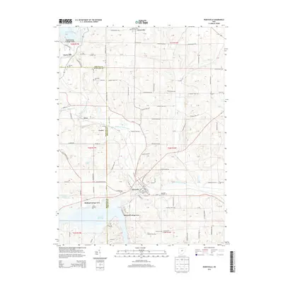
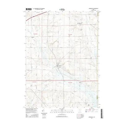
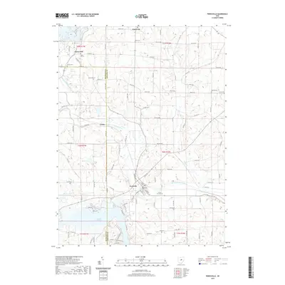
(20)- 2010 Map of Loudonville, 2010 Print
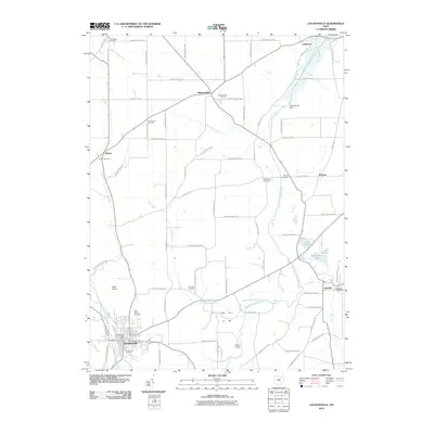 2010 Loudonville2010 Print · USGSCovers Vermillion Township, including Loudonville, Lake Township, and other nearby areas
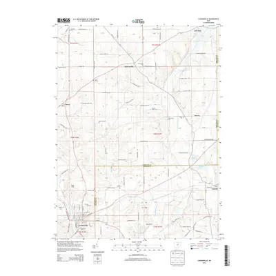
 - 2010 Map of Jeromesville, 2010 Print
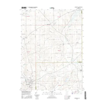
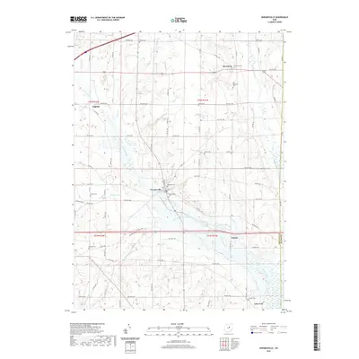
 2010 Jeromesville2010 Print · USGSCovers Vermillion Township, including Jeromesville, Perry Township, and other nearby areas
 - 2010 Map of Ashland South, 2010 Print
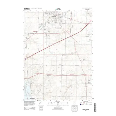
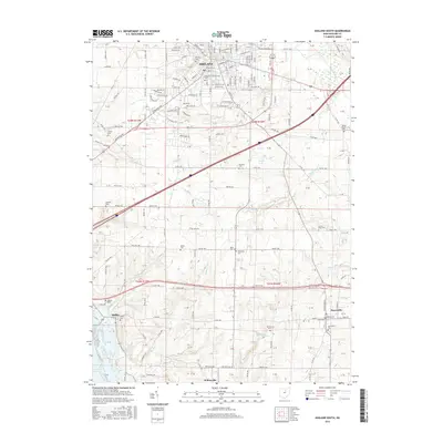
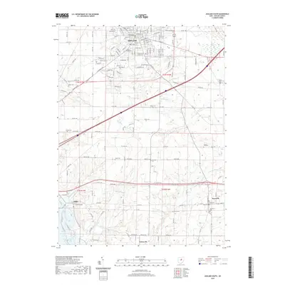
 2010 Ashland South2010 Print · USGSCovers Vermillion Township, including Ashland, Hayesville, and other nearby areas
 - 2010 Map of Perrysville, 2010 Print
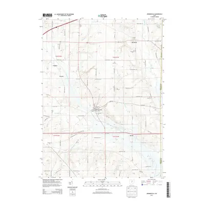
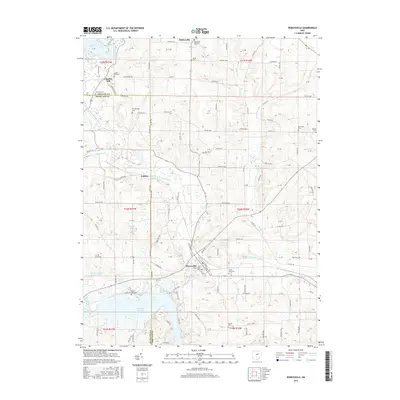
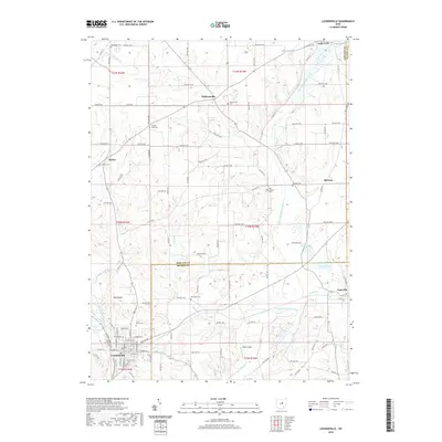
 2010 Perrysville2010 Print · USGSCovers Vermillion Township, including Perrysville, Monroe Township, and other nearby areas
 - 2013 Map of Perrysville, 2013 Print
 2013 Perrysville2013 Print · USGSCovers Vermillion Township, including Perrysville, Monroe Township, and other nearby areas
 - 2013 Map of Loudonville, 2013 Print
 2013 Loudonville2013 Print · USGSCovers Vermillion Township, including Loudonville, Lake Township, and other nearby areas
 - 2013 Map of Ashland South, 2013 Print
 2013 Ashland South2013 Print · USGSCovers Vermillion Township, including Ashland, Hayesville, and other nearby areas
 - 2013 Map of Jeromesville, 2013 Print
 2013 Jeromesville2013 Print · USGSCovers Vermillion Township, including Jeromesville, Perry Township, and other nearby areas
 - 2016 Map of Jeromesville, 2016 Print
 2016 Jeromesville2016 Print · USGSCovers Vermillion Township, including Jeromesville, Perry Township, and other nearby areas
 - 2016 Map of Ashland South, 2016 Print
 2016 Ashland South2016 Print · USGSCovers Vermillion Township, including Ashland, Hayesville, and other nearby areas
 - 2016 Map of Loudonville, 2016 Print
 2016 Loudonville2016 Print · USGSCovers Vermillion Township, including Loudonville, Lake Township, and other nearby areas
 - 2016 Map of Perrysville, 2016 Print
 2016 Perrysville2016 Print · USGSCovers Vermillion Township, including Perrysville, Monroe Township, and other nearby areas
 - 2019 Map of Loudonville, 2019 Print
 2019 Loudonville2019 Print · USGSCovers Vermillion Township, including Loudonville, Lake Township, and other nearby areas
 - 2019 Map of Perrysville, 2019 Print
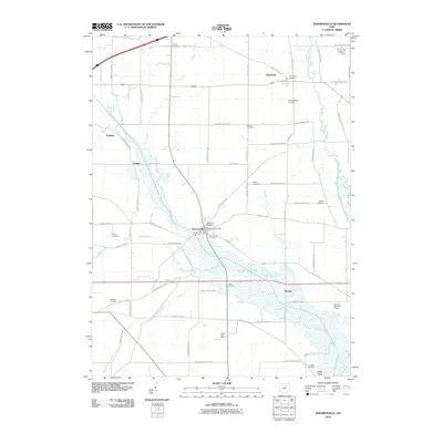
 2019 Perrysville2019 Print · USGSCovers Vermillion Township, including Perrysville, Monroe Township, and other nearby areas
 - 2019 Map of Ashland South, 2019 Print
 2019 Ashland South2019 Print · USGSCovers Vermillion Township, including Ashland, Hayesville, and other nearby areas
 - 2019 Map of Jeromesville, 2019 Print
 2019 Jeromesville2019 Print · USGSCovers Vermillion Township, including Jeromesville, Perry Township, and other nearby areas
 - 2023 Map of Loudonville, 2023 Print
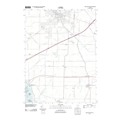
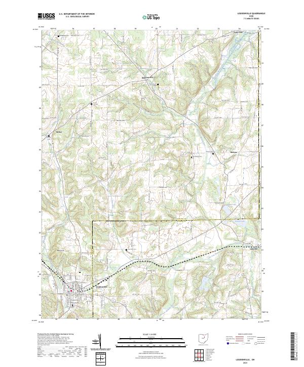 2023 Loudonville2023 Print · USGSLoudonville and the surrounding townships of Ashland and Holmes County are documented here in modern detail. Genealogists and local researchers can trace numerous rural burial sites like Old Sixteen Cem, McKay Cem, and the high ground at Bold Knob.
 - 2023 Map of Jeromesville, 2023 Print
 2023 Jeromesville2023 Print · USGSAshland County farmland and river valleys are shown here during the early twenty-first century. Genealogists can locate family burial sites at Jeromesville Cem and Bushnell Cem or trace the winding course of the Jerome Fork.
 - 2023 Map of Perrysville, 2023 Print
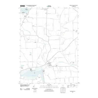
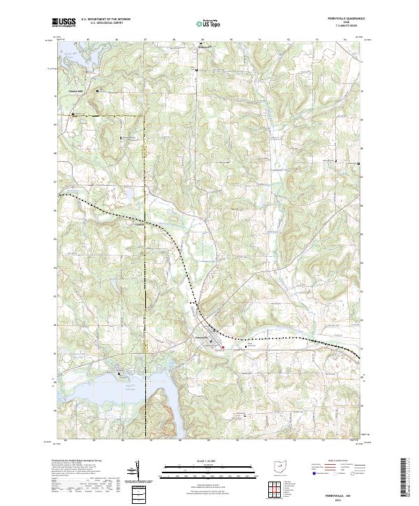 2023 Perrysville2023 Print · USGSModern-day Perrysville and the Mohican River valley are shown here in detail, captured as they appear today. Researchers can locate numerous local burial sites like Shambaugh Cem and Old Presbyterian Cem or trace the shores of Pleasant Hill Lake.
 - 2023 Map of Ashland South, 2023 Print
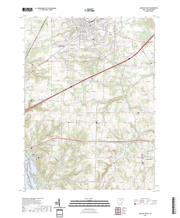 2023 Ashland South2023 Print · USGSThe county seat at Ashland and the Ashland University campus anchor this 2023 survey of central Ohio. Genealogists and historians can trace numerous rural burial sites like McAdoo Cem and Sultzer Cem alongside the waters of Charles Mill Lake.
End of results
Showing maps 1-20 of 20
Top cities near Vermillion Township
- Mansfield historical maps
- Ashland historical maps
- Loudonville historical maps
- Bellville historical maps
- West Salem historical maps
- Butler historical maps
See more
Top neighborhoods of Vermillion Township
Frequently asked questions
- What are the different types of historical maps available for Vermillion Township?
- What is the oldest map of Vermillion Township?
- Where can I purchase historical maps of Vermillion Township for my home or office?
- Where can I download high-res historical maps of Vermillion Township?
- Are there historical topographic maps available for Vermillion Township?
- Is there historical aerial imagery available for Vermillion Township?
- Where are historical maps of Vermillion Township sourced from?