Old Maps of Conneaut, Ohio for Hiking & Exploration
Hike through history with 19 historic maps of Conneaut. Explore old trails, ghost towns, and forgotten backroads — perfect for outdoor adventurers and local explorers.
- Rediscover forgotten places: Map out old mining camps, roads, and footpaths that no longer exist on modern maps.
- Layer with modern tools: Combine with LiDAR or satellite views to plan hikes through historical terrain.
- Made for exploration: Popular among hikers, overlanders, and local history lovers.
Use these maps to find adventure and explore the hidden past of Conneaut.
Conneaut, OH maps
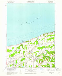
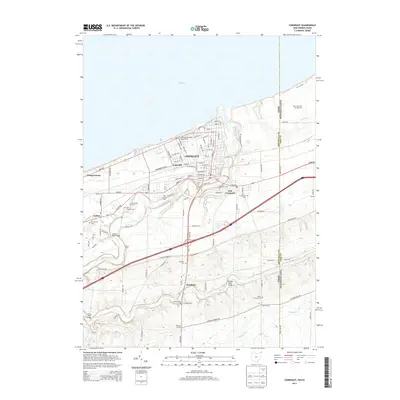
(19)- 1906 Map of Conneaut, 1943 Print
 1906 Conneaut1943 Print · USGSAshtabula County's industrial and rural landscape is caught at a pivotal moment as the rail network expanded toward the Lake Erie shoreline. Researchers can trace early township life in Monroe Center or follow the heavy rail traffic through Conneaut and Kingsville Station.2 unique versions available
 - 1950 Map of Cleveland
 1950 Cleveland1950 Print · USGSCovers Conneaut, including Cleveland, Akron, and other nearby areas
 - 1956 Map of Cleveland, 1967 Print
 1956 Cleveland1967 Print · USGSNortheast Ohio and Western Pennsylvania are shown at their industrial height during the mid-fifties, from the steel mills to the lakeshore. Researchers can trace the massive Ravenna Arsenal, the Ohio Turnpike, and vanished rail sidings of the B & O RR.3 unique versions available
 - 1960 Map of North Kingsville, 1961 Print
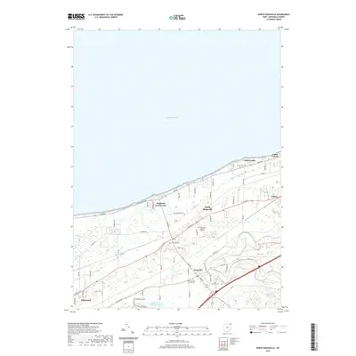
 1960 North Kingsville1961 Print · USGSAshtabula County’s lakefront and rail corridors were undergoing steady development in the early sixties. Researchers can trace the path of the New York Central Line and locate landmarks like Gardner Airpark, the Drive-in Theater, and Lulu Falls Cem.3 unique versions available
 - 1960 Map of Conneaut, 1962 Print
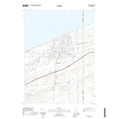
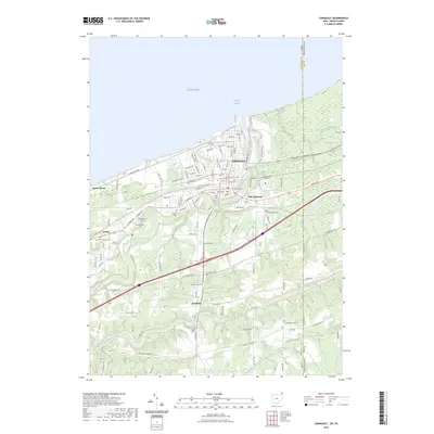
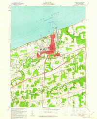 1960 Conneaut1962 Print · USGSThe Lake Erie coast and the industrial hub of Conneaut are documented here during the height of the Great Lakes shipping era. Genealogists and local historians can trace family locations near Amboy, Hatch Corners, and several local cemeteries including West Lakeville Cem.3 unique versions available
 - 1962 Map of Cleveland
 1962 Cleveland1962 Print · USGSNortheast Ohio and the Pennsylvania borderlands appear here during the industrial peak of the early sixties. Genealogists and historians can trace the expansive rail lines of the Nickel Plate Road and the growth of suburbs from Parma to Lyndhurst.
 - 1986 Map of Ashtabula
 1986 Ashtabula1986 Print · USGSThe Lake Erie shoreline and the rural borderlands of Ohio and Pennsylvania are captured here as they appeared in the 1980s. You can trace industrial rail lines like the BESSEMER AND LAKE ERIE or locate family sites near Kelloggsville Cem and Pymatuning State Park.2 unique versions available
 - 1994 Map of North Kingsville, 1997 Print
 1994 North Kingsville1997 Print · USGSThe Lake Erie shoreline in the mid-nineties shows a landscape of summer camps and deep creek valleys. Researchers can trace family history at Lulu Falls Cem, locate the old Drive-in Theater, or study the Conrail rail corridor near Amboy.
 - 1996 Map of Conneaut
 1996 Conneaut1996 Print · USGSThe Ohio-Pennsylvania borderlands come into focus in the mid-nineties as industrial shipping hubs meet rural crossroads. Genealogists and historians can trace family plots at St Josephs Cem or locate former schoolhouses like Rows Sch and Chestnut Sch.
 - 2010 Map of Conneaut, 2010 Print
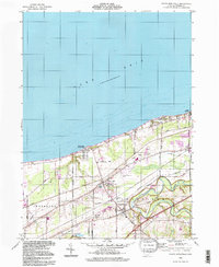
 2010 Conneaut2010 Print · USGSCovers Conneaut, including Monroe Township, Springfield Township, and other nearby areas
 - 2010 Map of North Kingsville, 2010 Print
 2010 North Kingsville2010 Print · USGSCovers Conneaut, including North Kingsville, Kingsville, and other nearby areas
 - 2013 Map of North Kingsville, 2013 Print
 2013 North Kingsville2013 Print · USGSCovers Conneaut, including North Kingsville, Kingsville, and other nearby areas
 - 2013 Map of Conneaut, 2013 Print
 2013 Conneaut2013 Print · USGSCovers Conneaut, including Monroe Township, Springfield Township, and other nearby areas
 - 2016 Map of Conneaut, 2016 Print
 2016 Conneaut2016 Print · USGSCovers Conneaut, including Monroe Township, Springfield Township, and other nearby areas
 - 2016 Map of North Kingsville, 2016 Print
 2016 North Kingsville2016 Print · USGSCovers Conneaut, including North Kingsville, Kingsville, and other nearby areas
 - 2019 Map of North Kingsville, 2019 Print
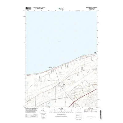
 2019 North Kingsville2019 Print · USGSCovers Conneaut, including North Kingsville, Kingsville, and other nearby areas
 - 2019 Map of Conneaut, 2019 Print
 2019 Conneaut2019 Print · USGSCovers Conneaut, including Monroe Township, Springfield Township, and other nearby areas
 - 2023 Map of Conneaut, 2023 Print
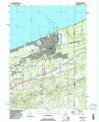
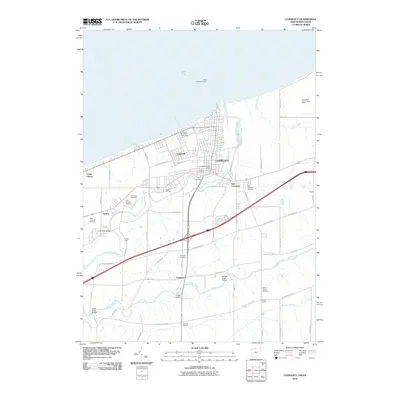
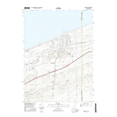
 2023 Conneaut2023 Print · USGSThe Ohio-Pennsylvania state line meets the Lake Erie shore in this contemporary look at a storied harbor town. Local historians can trace family plots across numerous sites like Glenwood Cem and City Cem, or follow the winding Conneaut Creek.
 - 2023 Map of North Kingsville, 2023 Print
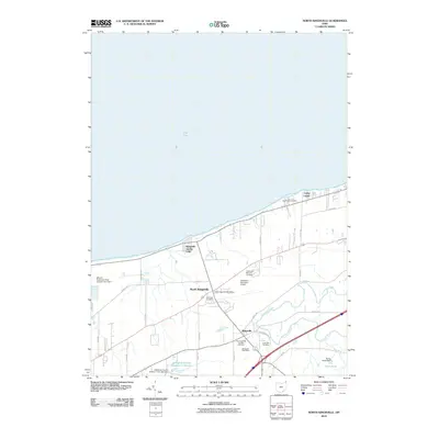
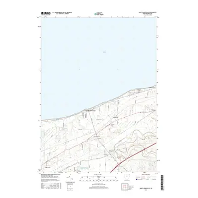
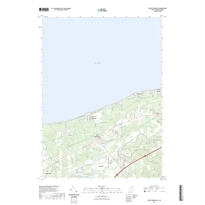 2023 North Kingsville2023 Print · USGSThe Lake Erie shoreline in Ashtabula County comes alive in this contemporary survey of its residential and rural communities. Trace family roots at Old Kingsville Corners Cem or explore the coast near Kingsville On-the-Lake and Camp Luther.
End of results
Showing maps 1-19 of 19
Top cities near Conneaut
- Ashtabula historical maps
- Edgewood historical maps
- Jefferson historical maps
- Jefferson Township historical maps
- North Kingsville historical maps
- Kingsville historical maps
See more
Top neighborhoods of Conneaut
- East Conneaut historical maps
- Farnham historical maps
- Lakeville historical maps
- Amboy historical maps
- Downtown Conneaut historical maps
Frequently asked questions
- What are the different types of historical maps available for Conneaut?
- What is the oldest map of Conneaut?
- Where can I purchase historical maps of Conneaut for my home or office?
- Where can I download high-res historical maps of Conneaut?
- Are there historical topographic maps available for Conneaut?
- Is there historical aerial imagery available for Conneaut?
- Where are historical maps of Conneaut sourced from?