Old Maps of Mineral, Ohio for Academic Research
Study the evolution of Mineral with 14 high-resolution historic maps. Whether you're teaching, researching, or modeling changes in land use, these maps provide essential visual documentation of urban, environmental, and geographic change.
- Analyze long-term change: Track patterns in development, transportation, and natural features.
- Ideal for environmental or urban studies: Support academic projects with primary historical map data.
- Use in the classroom or lab: Educators and researchers rely on these maps to bring historical context to life.
These maps are a powerful tool for teaching, research, and visualizing how Mineral has changed over the decades.
Mineral, OH maps
(14)- 1904 Map of Zaleski, 1955 Print
 1904 Zaleski1955 Print · USGSVinton and Hocking Counties are shown at the turn of the century as the rail-and-river economy flourished. Trace family roots and vanished landmarks in Zaleski, Moonville, and the brick-making center of Haydenville.2 unique versions available
 - 1907 Map of Zaleski, 1944 Print
 1907 Zaleski1944 Print · USGSVinton and Hocking counties at the turn of the century show an era of intense industrial activity along the coal branches. Trace the paths of the Baltimore and Ohio Southwestern RR through Moonville or find old homesteads near New Plymouth and Zaleski.
 - 1947 Map of Columbus, 1948 Print
 1947 Columbus1948 Print · USGSCentral Ohio in the late 1940s is captured in this survey, showing the post-war transition of its rail hubs and military airfield expansions. Genealogists and historians can trace the paths of the Ohio Canal, the Pennsylvania RR lines, and the Camp Sherman Military Reservation.
 - 1961 Map of Columbus
 1961 Columbus1961 Print · USGSCentral and Southern Ohio are captured here in the early sixties, as the region's industrial rail hubs and military bases reached their peak. Genealogists and historians can trace the transition from urban Columbus to rural townships along the Scioto River, locating Lockbourne USAF and old junctions like Washington Court House.
 - 1961 Map of Mineral, 1963 Print
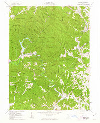 1961 Mineral1963 Print · USGSVinton County and Athens County meet in this heavily forested landscape in the early sixties, where the railroad snakes through deep valleys. Trace the legacy of small hillside communities and rural landmarks like Moonville, Madison Ch, and the Hewett Cem.4 unique versions available
 - 1962 Map of Columbus
 1962 Columbus1962 Print · USGSCentral Ohio during the early sixties reveals a transition from the industrial corridors of Columbus to the forested ridges of the south. Genealogists and historians can trace the rail networks of the Baltimore & Ohio RR and find local landmarks like Washington Court House and Camp Sherman Military Reservation.
 - 1967 Map of Columbus, 1969 Print
 1967 Columbus1969 Print · USGSCentral Ohio during the late sixties serves as a vital corridor of rail and aviation, from the industrial streets of Springfield to the hangar lines of Lockbourne Air Force Base. Genealogists and researchers can trace the growth of towns like Circleville and London or locate rural landmarks such as St Paul church and the London Correctional Institution.2 unique versions available
 - 1980 Map of Wellston, 1982 Print
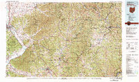 1980 Wellston1982 Print · USGSThe hill country of south-central Ohio in the early eighties shows a landscape of expansive state forests and deep-rooted river towns. Genealogists and historians can trace rural heritage through sites like Buckeye Furnace State Memorial and Mount Zion Cemetery.
 - 1992 Map of Mineral, 1995 Print
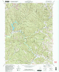 1992 Mineral1995 Print · USGSVinton and Athens counties are shown here in the 1990s, where public forest lands and historic iron industry sites meet. Researchers can locate the Hope Furnace ruins, the Chesapeake and Ohio railroad, and numerous family cemeteries like Brooks Cem.2 unique versions available
 - 2010 Map of Mineral, 2010 Print
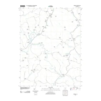 2010 Mineral2010 Print · USGSKnox and Moonville are captured here in the early twenty-first century, a landscape where industrial relics meet modern conservation areas. Genealogists and hikers can trace old family burial grounds like Keeton Cemetery and historical landmarks such as Hope Furnace or the Devils Tea Table.
 - 2013 Map of Mineral, 2013 Print
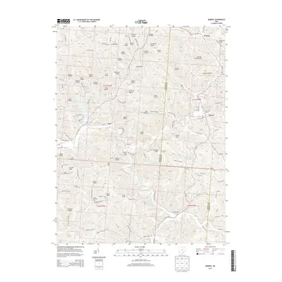 2013 Mineral2013 Print · USGSThe rugged valleys of Vinton and Athens counties are captured here in the early twenty-first century. Genealogists can locate several local burial sites such as Ferguson Cem and Madison Cem while tracing the winding path of Raccoon Creek.
 - 2016 Map of Mineral, 2016 Print
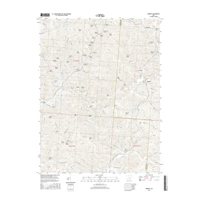 2016 Mineral2016 Print · USGSSoutheastern Ohio at the Vinton and Athens county line reveals a landscape of deep hollows and high ridges during the mid-2010s. Researchers can trace the pathways near Moonville and locate family burial sites like Keeton Cem or Judd Cem.
 - 2019 Map of Mineral, 2019 Print
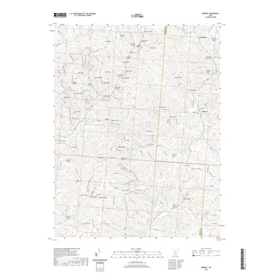 2019 Mineral2019 Print · USGSSoutheast Ohio’s deep hollows and ridges are captured in detail during this recent survey of Vinton and Athens counties. Researchers can trace rural cemetery locations like Pleasant Valley Cem or explore the terrain surrounding Moonville and Mineral.
 - 2023 Map of Mineral, 2023 Print
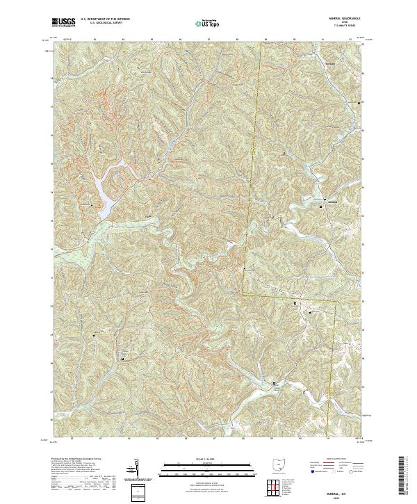 2023 Mineral2023 Print · USGSThe Vinton and Athens county line comes alive in this study of the hollows and ridges near Mineral and Hope. Genealogists can trace family connections through numerous local burial sites like Keeton Cem, Madison Cem, and Pleasant Valley Cem.
End of results
Showing maps 1-14 of 14
Top cities near Mineral
- Athens historical maps
- Nelsonville historical maps
- The Plains historical maps
- McArthur historical maps
- Glouster historical maps
- Starr historical maps
See more
Frequently asked questions
- What are the different types of historical maps available for Mineral?
- What is the oldest map of Mineral?
- Where can I purchase historical maps of Mineral for my home or office?
- Where can I download high-res historical maps of Mineral?
- Are there historical topographic maps available for Mineral?
- Is there historical aerial imagery available for Mineral?
- Where are historical maps of Mineral sourced from?