2000s (21st Century) Maps of Georgetown, Ohio
Explore 10 historic maps of Georgetown from the 2000s (21st Century). These maps offer a rare glimpse into what life looked like during the 2000s — showing old roads, neighborhoods, homes, and landmarks that have changed or disappeared over time.
Whether you're researching your family's past, planning a metal detecting trip, or studying how Georgetown's landscape evolved across the 2000s, these high-resolution maps are a powerful tool for exploring the history of this region.
- Focus on a specific era: All maps on this page are from the 2000s, giving you a focused view of this time period.
- See what’s changed: Compare century-old streets, trails, and buildings to today's modern landscape using overlays and satellite layers.
- Research with precision: Use these maps for genealogy, historical research, land use analysis, or educational projects.
- View, download, or print: Maps are fully viewable online in high resolution, and can be downloaded or printed for your own records.
Start exploring Georgetown's history through authentic maps from the 2000s. This is your window into the past.
Georgetown, OH maps
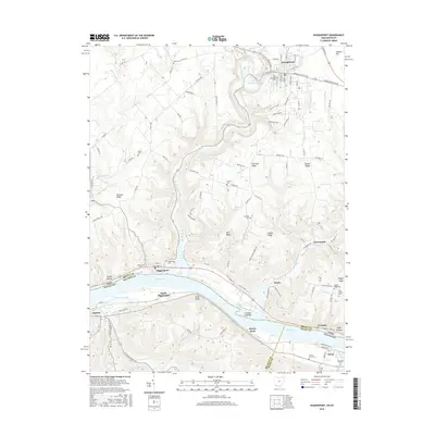
(10)- 2010 Map of Higginsport, 2010 Print
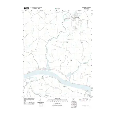 2010 Higginsport2010 Print · USGSCovers Georgetown, including Augusta, Dover, and other nearby areas
 - 2010 Map of Hamersville, 2010 Print
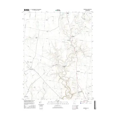
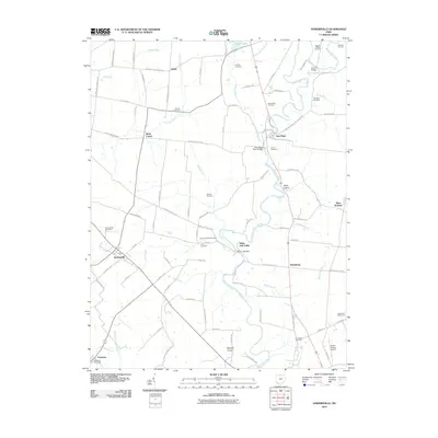 2010 Hamersville2010 Print · USGSCovers Georgetown, including Mount Orab, Hamersville, and other nearby areas
 - 2013 Map of Higginsport, 2013 Print
 2013 Higginsport2013 Print · USGSCovers Georgetown, including Augusta, Dover, and other nearby areas
 - 2013 Map of Hamersville, 2013 Print
 2013 Hamersville2013 Print · USGSCovers Georgetown, including Mount Orab, Hamersville, and other nearby areas
 - 2016 Map of Hamersville, 2016 Print
 2016 Hamersville2016 Print · USGSCovers Georgetown, including Mount Orab, Hamersville, and other nearby areas
 - 2016 Map of Higginsport, 2016 Print
 2016 Higginsport2016 Print · USGSCovers Georgetown, including Augusta, Dover, and other nearby areas
 - 2019 Map of Hamersville, 2019 Print
 2019 Hamersville2019 Print · USGSCovers Georgetown, including Mount Orab, Hamersville, and other nearby areas
 - 2019 Map of Higginsport, 2019 Print
 2019 Higginsport2019 Print · USGSCovers Georgetown, including Augusta, Dover, and other nearby areas
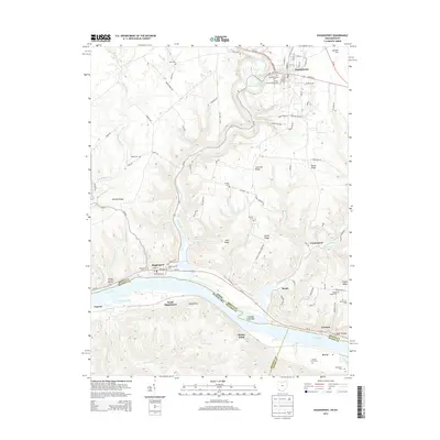
 - 2023 Map of Higginsport, 2023 Print
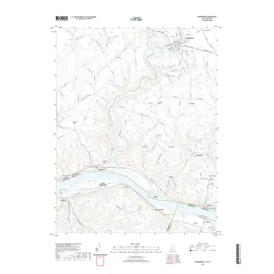
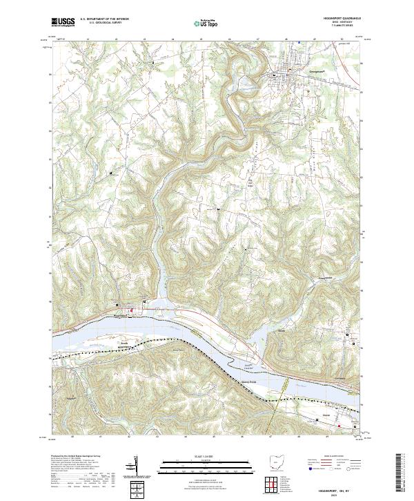 2023 Higginsport2023 Print · USGSThe Ohio River valley at the Ohio-Kentucky border remains a landscape of river towns and family-held ridges. Local historians can trace family ties through several rural sites like Thomas Cemetery, the Brown County Courthouse, and Shinkles Ridge.
 - 2023 Map of Hamersville, 2023 Print
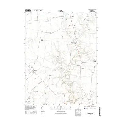
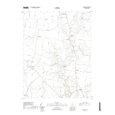
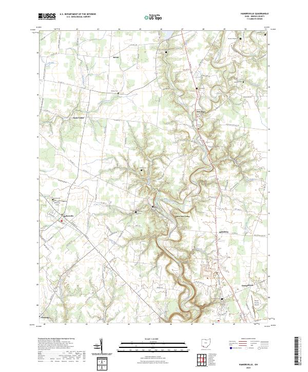 2023 Hamersville2023 Print · USGSBrown County's rural communities and cemetery networks are detailed here in this recent survey of the Ohio landscape. Researchers can trace ancestral roots through numerous family and community sites like Hendrixson Cem, Young Cem, and the settlement at White Oak Valley.
End of results
Showing maps 1-10 of 10
Top cities near Georgetown
- Maysville historical maps
- Mount Orab historical maps
- Bethel historical maps
- Williamsburg historical maps
- Ripley historical maps
- Aberdeen historical maps
See more
Top neighborhoods of Georgetown
Frequently asked questions
- What are the different types of historical maps available for Georgetown?
- What is the oldest map of Georgetown?
- Where can I purchase historical maps of Georgetown for my home or office?
- Where can I download high-res historical maps of Georgetown?
- Are there historical topographic maps available for Georgetown?
- Is there historical aerial imagery available for Georgetown?
- Where are historical maps of Georgetown sourced from?