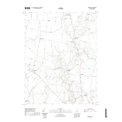
2019 Map of Hamersville
USGS Topo · Published 2019About this map
White Oak Creek meanders through the heart of this Brown County landscape, shaping the valley where the village of Hamersville and the seat at Georgetown intersect with a network of rural townships. The 2019 survey documents a deeply rooted agricultural and community fabric, marked by a high density of local burial grounds and chapels such as Farmers Chapel Cem and Browns Chapel Cem. These landmarks, along with Confidence Cem near Georgetown, offer significant genealogical data for those tracing families in southwest Ohio.
Find a feature on this map
108 named features on this map. Tap any name to fly to it.
Don’t see what you’re looking for? This feature index may not catch every label — zoom into the map to look around manually.
Map Details
Editions of this 2019 Hamersville Map
This is the sole edition of this map. No revisions or reprints were ever made.
Other maps of this area

1914 · Batavia
USGS Topo · 1:48,000

1916 · Batavia
USGS Topo · 1:62,500

1917 · Sardinia
USGS Topo · 1:62,500

1928 · Higginsport
USGS Topo · 1:48,000

1931 · Felicity
USGS Topo · 1:62,500

1931 · Higginsport
USGS Topo · 1:62,500

1944 · Sardinia
USGS Topo · 1:62,500

1947 · Columbus
USGS Topo · 1:250,000

1952 · Higginsport
USGS Topo · 1:24,000

1953 · Bethel
USGS Topo · 1:24,000