Old Maps of Lee Township, Ohio for Metal Detecting
Plan your next treasure hunt with 41 historic maps of Lee Township. Find old homesites, ghost towns, trails, and gathering spots that may be lost to time — perfect for identifying promising metal detecting locations.
- Locate forgotten sites: Uncover places like long-lost settlements, abandoned rail lines, or gathering spots.
- Plan better hunts: Use map overlays combined with LiDAR or satellite views to narrow in on historically rich areas.
- Made for detectorists: Thousands of hobbyists use these maps to discover relics, coins, and hidden history.
Use these historic maps to boost your research and find new opportunities beneath the surface of Lee Township.
Lee Township, OH maps
(41)- 1901 Map of Cadiz, 1954 Print
 1901 Cadiz1954 Print · USGSEastern Ohio at the dawn of the twentieth century was a landscape of ridge-top villages and bustling rail junctions. Trace the steam-era connections between Cadiz Junc and Jewett, or locate historic settlements like Bloomingdale and Amsterdam.2 unique versions available
 - 1902 Map of Scio, 1959 Print
 1902 Scio1959 Print · USGSHarrison and Carroll counties at the turn of the century show a region shaped by railroad expansion and early reservoir systems. Genealogists can trace family connections in vanished post offices and villages like Lamartine P.O. Perryville, Deersville, and New Rumley.
 - 1903 Map of Cadiz, 1941 Print
 1903 Cadiz1941 Print · USGSEastern Ohio at the turn of the century was a landscape of busy rail corridors and small valley towns. Genealogists and historians can trace old homesteads and rail stops near Amsterdam, Bloomingdale, and the junction at Jewett along the Wheeling and Lake Erie line.
 - 1904 Map of Scio, 1944 Print
 1904 Scio1944 Print · USGSHarrison and Carroll counties are shown here at the height of the steam-rail era, centered on the busy Conotton Creek corridor. Genealogists can trace family footprints in hill-country settlements like Deersville, New Rumley, and the rail junction at Jewett.
 - 1905 Map of Salineville, 1948 Print
 1905 Salineville1948 Print · USGSEastern Ohio at the turn of the century shows a landscape transitioning between agrarian roots and new industrial rail lines. Genealogists and researchers can trace family lands near Salineville and Bergholz, or locate rural hamlets like Summitville and Wattsville.
 - 1910 Map of Carrollton, 1957 Print
 1910 Carrollton1957 Print · USGSCarroll County and parts of Stark and Columbiana counties are documented here during an era of robust rail expansion and rural development. Genealogists can trace family footprints across dozens of local landmarks like Phalana Hall School, Macedonia Church, and the County Infirmary.
 - 1912 Map of Carrollton, 1943 Print
 1912 Carrollton1943 Print · USGSThe hills of Carroll County are shown at a peak of rural development in the early 20th century, before major modern changes. Genealogists can trace family roots through numerous local landmarks like Mud School, the County Infirmary, and Harlem Springs.
 - 1951 Map of Canton
 1951 Canton1951 Print · USGSThe industrial heartland of Ohio and Pennsylvania reached its mid-century peak during this era of heavy rail and river transit. Genealogists and historians can trace the development of steel towns like Aliquippa and Weirton alongside the Ohio River and major lines of the Pennsylvania RR.
 - 1953 Map of Canton
 1953 Canton1953 Print · USGSThe industrial heartland of Ohio and Pennsylvania is captured at its mid-century peak in this detailed regional survey. Genealogists and historians can trace the vast rail networks of the Pennsylvania RR and find local landmarks like Nimisila Reservoir and Tappan Reservoir.
 - 1957 Map of Canton, 1971 Print
 1957 Canton1971 Print · USGSThe industrial heartland of eastern Ohio and western Pennsylvania comes alive in this mid-century survey of the Ohio River Valley. Trace the heritage of rail and river commerce through Pittsburgh, the massive steel towns along the Ohio River, and major junctions on the Pennsylvania RR.3 unique versions available
 - 1959 Map of Carrollton, 1961 Print
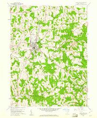 1959 Carrollton1961 Print · USGSIn the late fifties, the hill country of Carroll County supported a mix of rail-based transport and growing surface mining operations. Genealogists can trace family names at Wherrys Crossroads and numerous rural cemeteries like Green Hill Cem or Westview Cem.4 unique versions available
 - 1960 Map of Bergholz, 1961 Print
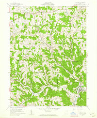 1960 Bergholz1961 Print · USGSEastern Ohio coal and rail country comes to life in the early sixties as industrial mining expands around the village of Bergholz. Genealogists and researchers can trace family roots at Spyder Cem, Palmer Cem, or the Chestnut Ridge Ch.4 unique versions available
 - 1960 Map of Amsterdam, 1962 Print
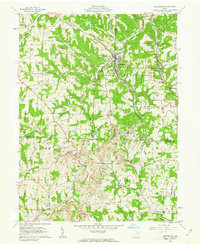 1960 Amsterdam1962 Print · USGSThe tri-county borderlands of Jefferson, Carroll, and Harrison Counties are captured here in the early 1960s as mining reshaped the landscape. Trace the New York Central line through Amsterdam or locate family roots at Simmons Ridge Cem and Germano.3 unique versions available
 - 1961 Map of Scio, 1963 Print
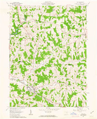 1961 Scio1963 Print · USGSHarrison and Carroll counties are shown in the early 1960s, a landscape where railroad lines and extractive industries meet rural village life. Researchers can locate the Gen Custer Mon in New Rumley or trace the early footprint of Leesville Reservoir near Scio.2 unique versions available
 - 1962 Map of Canton
 1962 Canton1962 Print · USGSThe industrial heartland of Eastern Ohio and Western Pennsylvania thrives in the early sixties as steel mills and rail lines dominate the river valleys. Genealogists and historians can trace local landmarks like McKinley National Memorial, Malone College, and industrial sites such as Republic Steel Corp.2 unique versions available
 - 1986 Map of Pittsburgh West
 1986 Pittsburgh West1986 Print · USGSThe Tri-State region's coal and rail corridors are captured in the mid-eighties as industry and aviation expanded. Trace the legacy of extraction at Nelms Mine No 1, locate Short Creek PO, or follow the Chessie System tracks along the Ohio River.3 unique versions available
 - 1986 Map of Canton
 1986 Canton1986 Print · USGSNortheastern Ohio’s industrial corridor and rural heartland are captured here in the mid-1980s as the region's rail and highway networks reached their modern form. Researchers can trace the layout of Canton and Massillon, locate family sites near West Lawn Cemetery, or explore the grounds of Malone College and Walsh College.2 unique versions available
 - 1986 Map of East Liverpool
 1986 East Liverpool1986 Print · USGSThe tri-state border region in the 1980s reveals a landscape shaped by the Ohio River and a massive rail network. Researchers can trace the industrial footprint of East Liverpool and Midland or locate inland landmarks like Pine Lake and Strip Mines.2 unique versions available
 - 1994 Map of Carrollton, 1998 Print
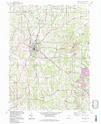 1994 Carrollton1998 Print · USGSCarrollton and its surrounding townships are shown here in the 1990s, caught between their agricultural roots and a significant coal mining history. Genealogists can trace family names and local sites from Harlem Springs to Wherrys Crossroads, including Mt Olivet Ch and the Wherry Cem.
 - 1994 Map of Scio, 1998 Print
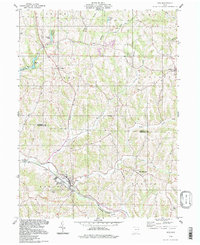 1994 Scio1998 Print · USGSHarrison and Carroll counties in the 1990s show a rugged landscape of ridges, small settlements, and commemorative history. Genealogists can locate family sites at Grandview Cem and Fairview Cem or explore the birthplace of George Custer at New Rumley.
 - 1994 Map of Bergholz, 1998 Print
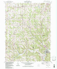 1994 Bergholz1998 Print · USGSThe hill country of eastern Ohio is captured here in the 1990s as it straddles the Carroll and Jefferson County lines. Researchers can trace rural cemeteries like Snyder Cem, the layout of Bergholz, and the extensive footprint of a Strip Mine near Wattsville.
 - 2010 Map of Bergholz, 2010 Print
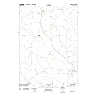 2010 Bergholz2010 Print · USGSJefferson County in the early twenty-first century retains its rural character among the ridges and hollows of eastern Ohio. Genealogists can trace family names through numerous burial sites like McGauran Cemetery and Chestnut Ridge Cemetery near settlements such as Wattsville and Scroggsfield.
 - 2010 Map of Amsterdam, 2010 Print
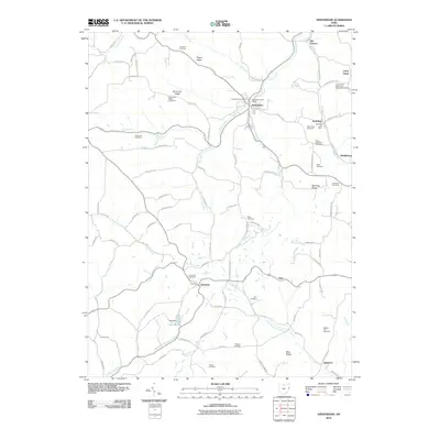 2010 Amsterdam2010 Print · USGSJefferson County's rural character is preserved in this 2010 study of the Ohio hill country as it appeared in the early twenty-first century. Genealogists and local historians can locate numerous small burial sites like Kisha Farm Cemetery and family-named landmarks such as Simmons Ridge.
 - 2010 Map of Carrollton, 2010 Print
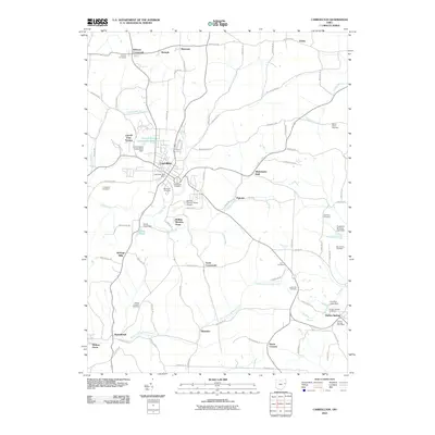 2010 Carrollton2010 Print · USGSCarroll County, Ohio, maintains its rural character in the early twenty-first century, centered on the historic village of Carrollton. Genealogists can trace local heritage through numerous sites like Harlem Springs, Wherrys Crossroads, and the Mount Olivet Cemetery.
 - 2010 Map of Scio, 2010 Print
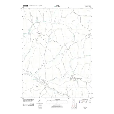 2010 Scio2010 Print · USGSHarrison County at the start of the 2010s remains a landscape of deep-rooted rural communities and historical markers. Genealogists can trace family lines through numerous sites like the General Custer Monument and the Kilgore Presbyterian Cemetery.
Showing maps 1-25 of 41
Top cities near Lee Township
- Minerva historical maps
- Carrollton historical maps
- Augusta historical maps
- Salineville historical maps
- Malvern historical maps
- Hopedale historical maps
See more
Top neighborhoods of Lee Township
Frequently asked questions
- What are the different types of historical maps available for Lee Township?
- What is the oldest map of Lee Township?
- Where can I purchase historical maps of Lee Township for my home or office?
- Where can I download high-res historical maps of Lee Township?
- Are there historical topographic maps available for Lee Township?
- Is there historical aerial imagery available for Lee Township?
- Where are historical maps of Lee Township sourced from?