2000s (21st Century) Maps of Union Township, Ohio
Explore 20 historic maps of Union Township from the 2000s (21st Century). These maps offer a rare glimpse into what life looked like during the 2000s — showing old roads, neighborhoods, homes, and landmarks that have changed or disappeared over time.
Whether you're researching your family's past, planning a metal detecting trip, or studying how Union Township's landscape evolved across the 2000s, these high-resolution maps are a powerful tool for exploring the history of this region.
- Focus on a specific era: All maps on this page are from the 2000s, giving you a focused view of this time period.
- See what’s changed: Compare century-old streets, trails, and buildings to today's modern landscape using overlays and satellite layers.
- Research with precision: Use these maps for genealogy, historical research, land use analysis, or educational projects.
- View, download, or print: Maps are fully viewable online in high resolution, and can be downloaded or printed for your own records.
Start exploring Union Township's history through authentic maps from the 2000s. This is your window into the past.
Union Township, OH maps
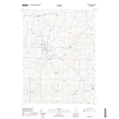
(20)- 2010 Map of Carrollton, 2010 Print
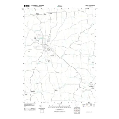 2010 Carrollton2010 Print · USGSCovers Union Township, including Carrollton, Dutch Corners, and other nearby areas
 - 2010 Map of Dellroy, 2010 Print
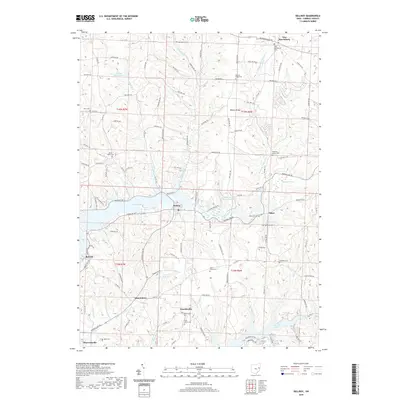
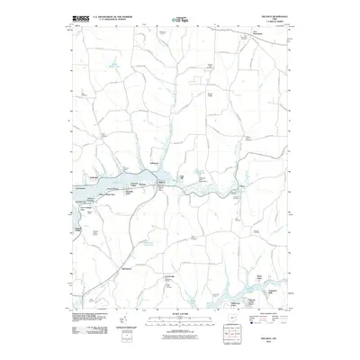 2010 Dellroy2010 Print · USGSCovers Union Township, including Sherrodsville, Dellroy, and other nearby areas
 - 2010 Map of Scio, 2010 Print
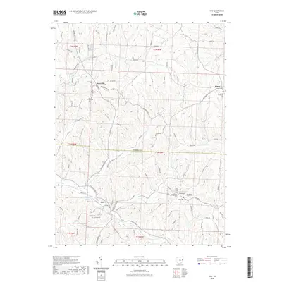
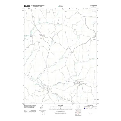 2010 Scio2010 Print · USGSCovers Union Township, including Scio, New Rumley, and other nearby areas
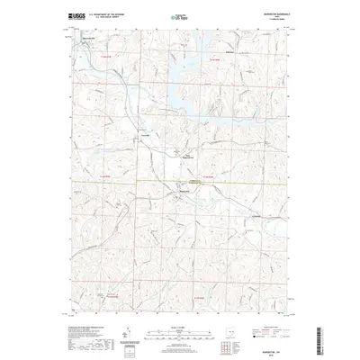
 - 2010 Map of Bowerston, 2010 Print
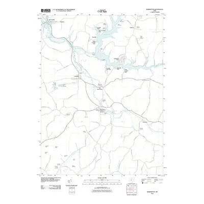 2010 Bowerston2010 Print · USGSCovers Union Township, including Bowerston, Sherrodsville, and other nearby areas
 - 2013 Map of Scio, 2013 Print
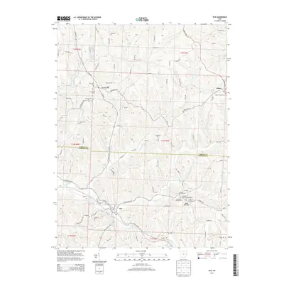 2013 Scio2013 Print · USGSCovers Union Township, including Scio, New Rumley, and other nearby areas
 - 2013 Map of Dellroy, 2013 Print
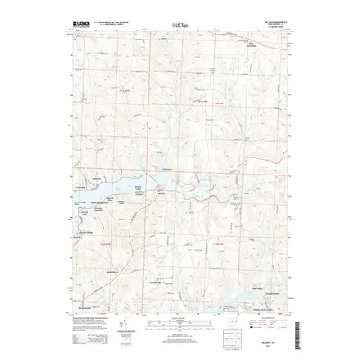 2013 Dellroy2013 Print · USGSCovers Union Township, including Sherrodsville, Dellroy, and other nearby areas
 - 2013 Map of Bowerston, 2013 Print
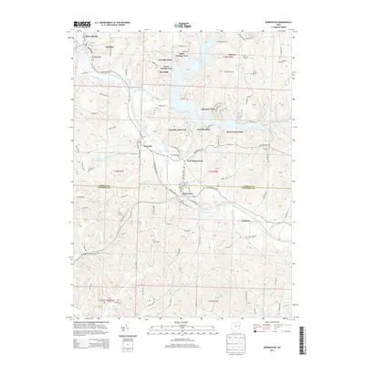 2013 Bowerston2013 Print · USGSCovers Union Township, including Bowerston, Sherrodsville, and other nearby areas
 - 2013 Map of Carrollton, 2013 Print
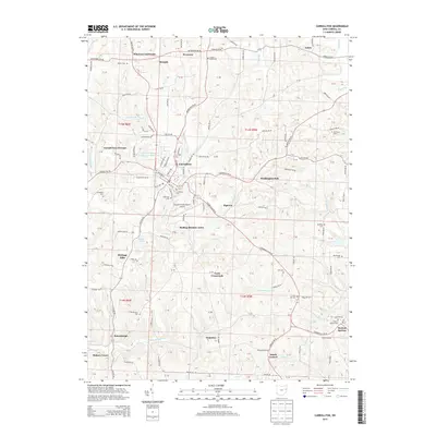 2013 Carrollton2013 Print · USGSCovers Union Township, including Carrollton, Dutch Corners, and other nearby areas
 - 2016 Map of Scio, 2016 Print
 2016 Scio2016 Print · USGSCovers Union Township, including Scio, New Rumley, and other nearby areas
 - 2016 Map of Dellroy, 2016 Print
 2016 Dellroy2016 Print · USGSCovers Union Township, including Sherrodsville, Dellroy, and other nearby areas
 - 2016 Map of Bowerston, 2016 Print
 2016 Bowerston2016 Print · USGSCovers Union Township, including Bowerston, Sherrodsville, and other nearby areas
 - 2016 Map of Carrollton, 2016 Print
 2016 Carrollton2016 Print · USGSCovers Union Township, including Carrollton, Dutch Corners, and other nearby areas
 - 2019 Map of Scio, 2019 Print
 2019 Scio2019 Print · USGSCovers Union Township, including Scio, New Rumley, and other nearby areas
 - 2019 Map of Dellroy, 2019 Print
 2019 Dellroy2019 Print · USGSCovers Union Township, including Sherrodsville, Dellroy, and other nearby areas
 - 2019 Map of Carrollton, 2019 Print
 2019 Carrollton2019 Print · USGSCovers Union Township, including Carrollton, Dutch Corners, and other nearby areas
 - 2019 Map of Bowerston, 2019 Print
 2019 Bowerston2019 Print · USGSCovers Union Township, including Bowerston, Sherrodsville, and other nearby areas
 - 2023 Map of Scio, 2023 Print
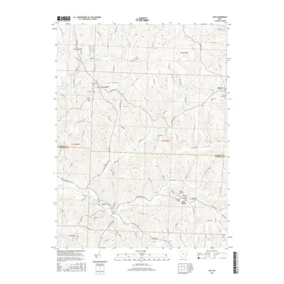
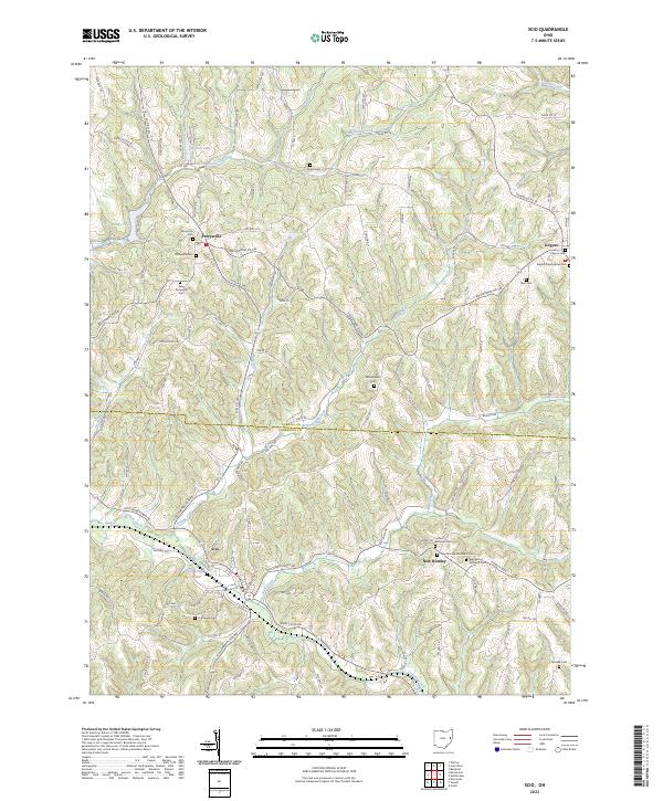 2023 Scio2023 Print · USGSThe border of Harrison and Carroll Counties is captured here in the early 2020s, showing a landscape of high ridges and narrow valleys. Genealogists can trace numerous local burial sites like United Brethren Cem, Grandview Cem, and Abel Cem near the historic village of Scio.
 - 2023 Map of Carrollton, 2023 Print
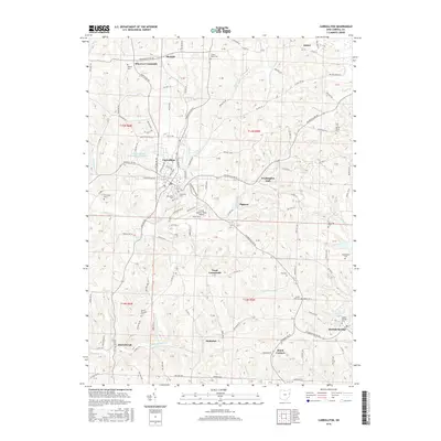
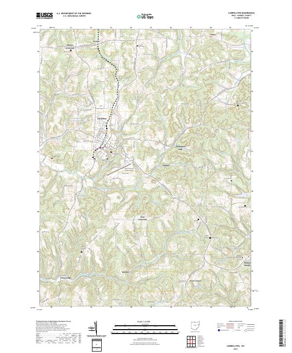 2023 Carrollton2023 Print · USGSCarrollton and the surrounding hills of eastern Ohio are captured here in the early twenty-first century. Genealogists can trace family landmarks like Lee Cem, Wherry Cem, and Mount Pleasant Cem alongside old crossroads at Pigtown and Washington Hall.
 - 2023 Map of Dellroy, 2023 Print
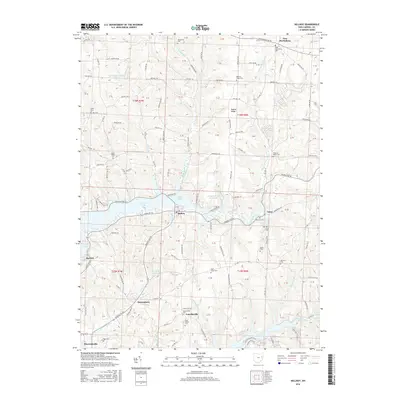
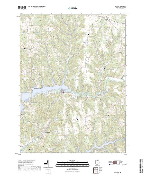 2023 Dellroy2023 Print · USGSThe rolling landscape of Carroll County is captured here in the contemporary era, centered on the waters of Atwood Lake. Researchers can trace local lineage through numerous historic burial grounds like Leavittsville Cem, Saint Lukes Cem, and Baxters Ridge Cem.
 - 2023 Map of Bowerston, 2023 Print
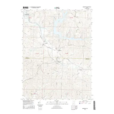
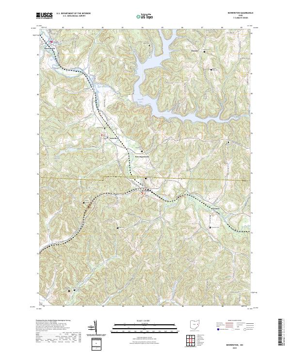 2023 Bowerston2023 Print · USGSThe rolling hill country of Carroll and Harrison Counties comes into focus in this recent survey. Local historians can trace family roots at Leesville Cem, Mount Tabor Cem, and the settlements along the winding Conotton Creek.
End of results
Showing maps 1-20 of 20
Top cities near Union Township
- Canton historical maps
- Minerva historical maps
- Carrollton historical maps
- Dennison historical maps
- Augusta historical maps
- Malvern historical maps
See more
Top neighborhoods of Union Township
- Palermo-on-the-Lakes historical maps
- Piney View historical maps
- Hickory Grove historical maps
- Waterloo historical maps
- Grampian Hills historical maps
- Toots Crossroads historical maps
See more
Frequently asked questions
- What are the different types of historical maps available for Union Township?
- What is the oldest map of Union Township?
- Where can I purchase historical maps of Union Township for my home or office?
- Where can I download high-res historical maps of Union Township?
- Are there historical topographic maps available for Union Township?
- Is there historical aerial imagery available for Union Township?
- Where are historical maps of Union Township sourced from?