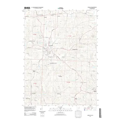
2013 Map of Carrollton
USGS Topo · Published 2013About this map
Carrollton serves as the central hub of this Eastern Ohio landscape, where the local street grid transitions into a radial network of county roads. The terrain is defined by the complex drainage of the N Fork McGuire Cr and S Fork McGuire Cr, which carve through the plateau to create a series of prominent ridges and hollows. This topography has historically dictated the placement of small rural settlements and crossroads, such as Wherrys Crossroads and Dutch Corners.
Find a feature on this map
82 named features on this map. Tap any name to fly to it.
Don’t see what you’re looking for? This feature index may not catch every label — zoom into the map to look around manually.
Map Details
Editions of this 2013 Carrollton Map
This is the sole edition of this map. No revisions or reprints were ever made.
Other maps of this area

1901 · Cadiz
USGS Topo · 1:62,500

1902 · Scio
USGS Topo · 1:62,500

1903 · Cadiz
USGS Topo · 1:62,500

1904 · Scio
USGS Topo · 1:62,500

1905 · Salineville
USGS Topo · 1:62,500

1910 · Carrollton
USGS Topo · 1:62,500

1912 · Carrollton
USGS Topo · 1:62,500

1951 · Canton
USGS Topo · 1:250,000

1953 · Canton
USGS Topo · 1:250,000

1957 · Canton
USGS Topo · 1:250,000