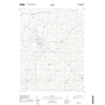
2019 Map of Carrollton
USGS Topo · Published 2019About this map
Carrollton serves as the focal point of this Carroll County landscape, dominated by the Carroll County Courthouse and an intricate network of local roads. The town's expansion is evident through its various residential streets and the proximity of the Carroll County-Tolson Airport to the southeast. The surrounding terrain is defined by a dense collection of crossroads settlements and family-named cemeteries, reflecting a deeply rooted rural community structure. To the south, Petersburgh and Harlem Springs mark significant local hubs, while smaller locales like Pigtown and Washington Hall are scattered across the rolling upland drainage basins of Pipe Run and Gault Cr. Genealogists will find a wealth of data in the numerous burial grounds, including Westview and Grandview cemeteries near the town center, and more remote sites like Wherry Cem and Moorehead Cem. The landscape is etched by small waterways like Friday Cr and Honey Run, which dictate the winding paths of the township and county highways.
Find a feature on this map
127 named features on this map. Tap any name to fly to it.
Don’t see what you’re looking for? This feature index may not catch every label — zoom into the map to look around manually.
Map Details
Editions of this 2019 Carrollton Map
This is the sole edition of this map. No revisions or reprints were ever made.
Other maps of this area

1901 · Cadiz
USGS Topo · 1:62,500

1902 · Scio
USGS Topo · 1:62,500

1903 · Cadiz
USGS Topo · 1:62,500

1904 · Scio
USGS Topo · 1:62,500

1905 · Salineville
USGS Topo · 1:62,500

1910 · Carrollton
USGS Topo · 1:62,500

1912 · Carrollton
USGS Topo · 1:62,500

1951 · Canton
USGS Topo · 1:250,000

1953 · Canton
USGS Topo · 1:250,000

1957 · Canton
USGS Topo · 1:250,000