2010s Maps of Catawba, Ohio
Explore 16 historic maps of Catawba from the 2010s. These maps offer a rare glimpse into what life looked like during the 2010s — showing old roads, neighborhoods, homes, and landmarks that have changed or disappeared over time.
Whether you're researching your family's past, planning a metal detecting trip, or studying how Catawba's landscape evolved across the 2010s, these high-resolution maps are a powerful tool for exploring the history of this region.
- Focus on a specific era: All maps on this page are from the 2010s, giving you a focused view of this time period.
- See what’s changed: Compare century-old streets, trails, and buildings to today's modern landscape using overlays and satellite layers.
- Research with precision: Use these maps for genealogy, historical research, land use analysis, or educational projects.
- View, download, or print: Maps are fully viewable online in high resolution, and can be downloaded or printed for your own records.
Start exploring Catawba's history through authentic maps from the 2010s. This is your window into the past.
Catawba, OH maps
(16)- 2010 Map of New Moorefield, 2010 Print
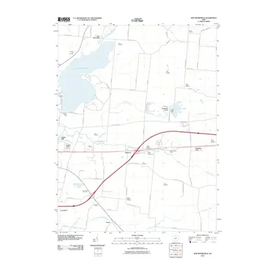 2010 New Moorefield2010 Print · USGSNortheast of Springfield at the start of the twenty-first century, this area balances suburban expansion with deep-rooted rural landmarks. Genealogists can locate family names via Rose Hill Cemetery or Titus Cemetery, while tracing changes near Clarence J Brown Reservoir and Harmony.
 - 2010 Map of South Vienna, 2010 Print
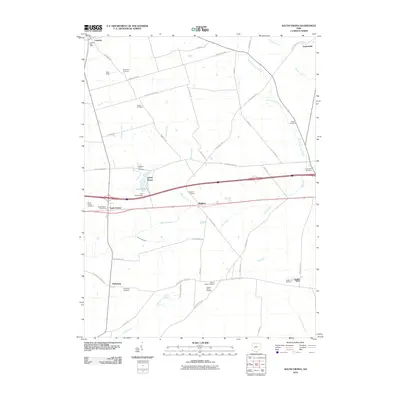 2010 South Vienna2010 Print · USGSMid-century development and deep-rooted family history intersect in this Clark County survey. Genealogists and historians can trace lineage through the McConkey Cemetery, explore the London Fish Hatchery, or locate old landmarks like Reaver Farms Orchard.
 - 2010 Map of Mechanicsburg, 2010 Print
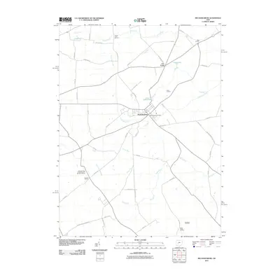 2010 Mechanicsburg2010 Print · USGSMechanicsburg and its surrounding rural townships appear here in the early twenty-first century, showing a landscape defined by traditional farming and small-town roots. Researchers can trace historic family names through Hopewell Cemetery, find local landmarks like the Mechanicsburg Post Office, and follow the winding path of Treacle Creek.
 - 2010 Map of Urbana East, 2010 Print
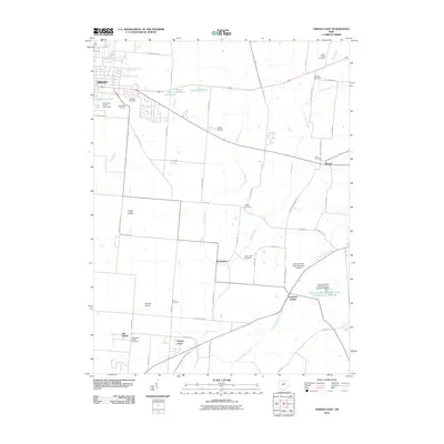 2010 Urbana East2010 Print · USGSUrbana and the surrounding Champaign County countryside are documented here during the early twenty-first century. Genealogists and local historians can trace family locations through numerous sites like Winn Cemetery, the Champaign County Fairgrounds, and the rural community of Mutual.
 - 2013 Map of Urbana East, 2013 Print
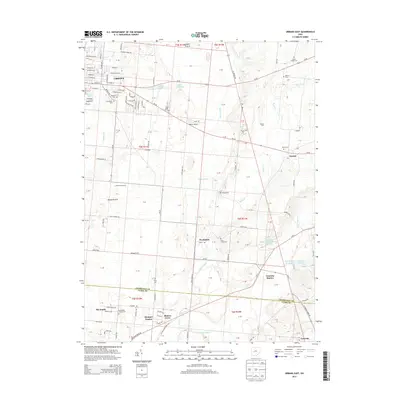 2013 Urbana East2013 Print · USGSChampaign County land use and urban expansion are visible in this early twenty-first-century survey of the Ohio landscape. Researchers can trace rural lineages through sites like Oakdale Cem, Catawba Station, and the historic Dugan Prairie.
 - 2013 Map of Mechanicsburg, 2013 Print
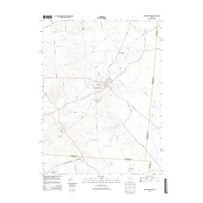 2013 Mechanicsburg2013 Print · USGSMechanicsburg and the surrounding Ohio countryside are captured here in the early twenty-first century as a landscape of rural villages and historic family plots. Researchers can trace ancestral roots at Maple Grove Cem or Hopewell Cem and explore the waterways of Little Darby Cr.
 - 2013 Map of South Vienna, 2013 Print
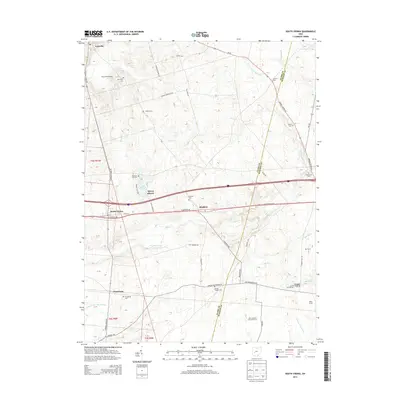 2013 South Vienna2013 Print · USGSSpanning the agricultural heart of Clark and Madison counties in the early 21st century, this map shows the settled corridors along the historic National Road. Genealogists and local historians can locate several family burial grounds like Bodkin Cem and Wilson Chapel Cem alongside the London Fish Hatchery.
 - 2013 Map of New Moorefield, 2013 Print
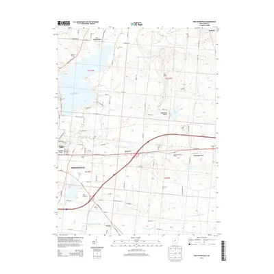 2013 New Moorefield2013 Print · USGSThe northeastern edge of Springfield and the sprawling Buck Creek State Park are captured here during a period of modern suburban and recreational growth. Genealogists and local historians can trace legacy sites like Pleasant Hill Cem, Rose Hill Cem, and the historic Melody Cruise-In.
 - 2016 Map of Urbana East, 2016 Print
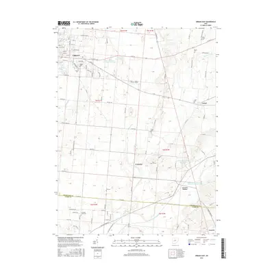 2016 Urbana East2016 Print · USGSChampaign County at the start of the 2010s shows a landscape of established family farms surrounding the eastern expansion of Urbana. Researchers can trace rural lineages through numerous local burial grounds such as Oakdale Cem, Sharon Cem, and Moorefield Chapel Cem.
 - 2016 Map of Mechanicsburg, 2016 Print
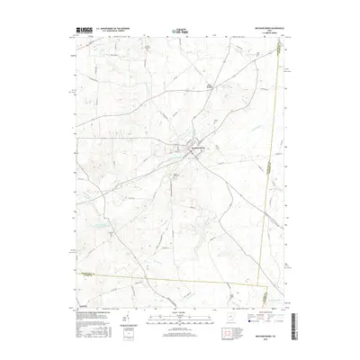 2016 Mechanicsburg2016 Print · USGSChampaign County land use and drainage are captured here in the mid-2010s, centered on the historic village of Mechanicsburg. Researchers can locate numerous family and community burial sites like Maple Grove Cem and Nation Chapel among the network of creeks and ditches.
 - 2016 Map of New Moorefield, 2016 Print
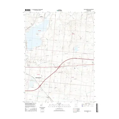 2016 New Moorefield2016 Print · USGSSpringfield and its rural surroundings are captured here in the mid-2010s as urban growth meets the reservoir and farmland. Genealogists can locate several family and community landmarks, including Fletcher Chapel Cem, the village of New Moorefield, and Kepes Flying Field.
 - 2016 Map of South Vienna, 2016 Print
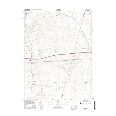 2016 South Vienna2016 Print · USGSNear the Clark and Madison county line in the mid-2010s, this area reflects centuries of transit history along the historic National Pike. Researchers can locate numerous local burial sites including Wilson Chapel Cem, Plattsburg Cem, and the Mcconkey Cem.
 - 2019 Map of New Moorefield, 2019 Print
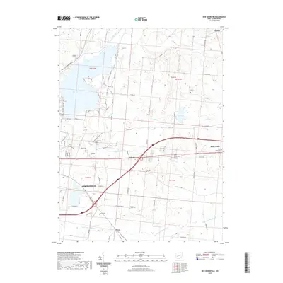 2019 New Moorefield2019 Print · USGSEastern Clark County in the late twenty-teens reveals a landscape where historic rural cemeteries meet modern water management. Genealogists can trace family sites like Tuttle Cem or Yale Cem, while others locate the Kepes Flying Field and the Clarence J Brown Reservoir shoreline.
 - 2019 Map of Mechanicsburg, 2019 Print
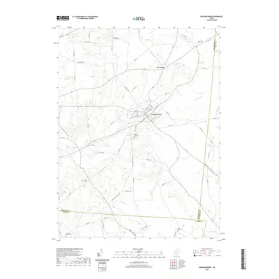 2019 Mechanicsburg2019 Print · USGSMechanicsburg and the surrounding Champaign County farmlands are captured here in the late twenty-teens. Genealogists can locate several family and community burial sites, including Treacles Creek Cem and Britton Cem, alongside the small crossroads of Five Points.
 - 2019 Map of Urbana East, 2019 Print
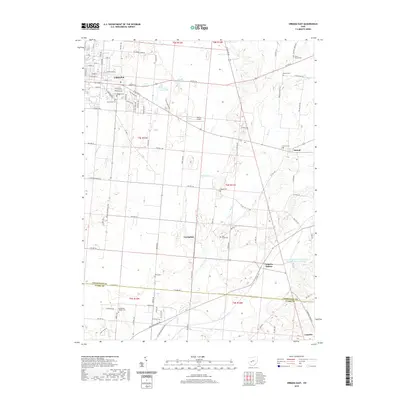 2019 Urbana East2019 Print · USGSChampaign County land east of Urbana is detailed in the late 2010s, showcasing a landscape of family-named cemeteries and rural crossroads. Researchers can trace historic sites like Winn Cem, Catawba Station, and the distinct sequence of the Price Ponds.
 - 2019 Map of South Vienna, 2019 Print
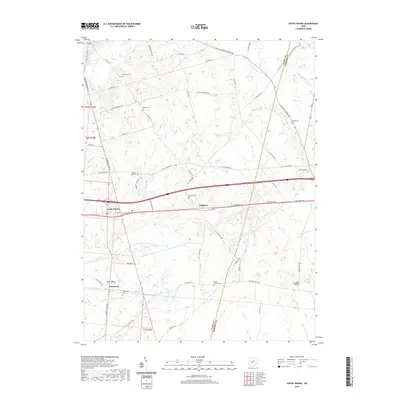 2019 South Vienna2019 Print · USGSThe intersection of the historic National Road and local farm life is captured here in the late 2010s. Genealogists can trace family legacies through numerous rural burial sites including McConkey Cem, Statler Cem, and Wilson Chapel Cem.
End of results
Showing maps 1-16 of 16
Top cities near Catawba
- Springfield historical maps
- Marysville historical maps
- Urbana historical maps
- London historical maps
- Harmony historical maps
- South Charleston historical maps
See more
Frequently asked questions
- What are the different types of historical maps available for Catawba?
- What is the oldest map of Catawba?
- Where can I purchase historical maps of Catawba for my home or office?
- Where can I download high-res historical maps of Catawba?
- Are there historical topographic maps available for Catawba?
- Is there historical aerial imagery available for Catawba?
- Where are historical maps of Catawba sourced from?