Old Maps of Washington Township, Ohio for Hiking & Exploration
Hike through history with 27 historic maps of Washington Township. Explore old trails, ghost towns, and forgotten backroads — perfect for outdoor adventurers and local explorers.
- Rediscover forgotten places: Map out old mining camps, roads, and footpaths that no longer exist on modern maps.
- Layer with modern tools: Combine with LiDAR or satellite views to plan hikes through historical terrain.
- Made for exploration: Popular among hikers, overlanders, and local history lovers.
Use these maps to find adventure and explore the hidden past of Washington Township.
Washington Township, OH maps
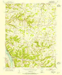
(27)- 1931 Map of Felicity
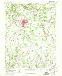
 1931 Felicity1931 Print · USGSClermont County's riverfront and rolling uplands are captured here in the early thirties as a network of small schoolhouses and rail lines defined rural life. Researchers can trace the path of the Cincinnati Georgetown and Portsmouth RR or locate family sites near Felicity, Utopia, and Lock 34.2 unique versions available
 - 1953 Map of Laurel, 1955 Print
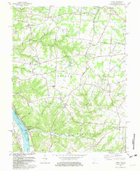
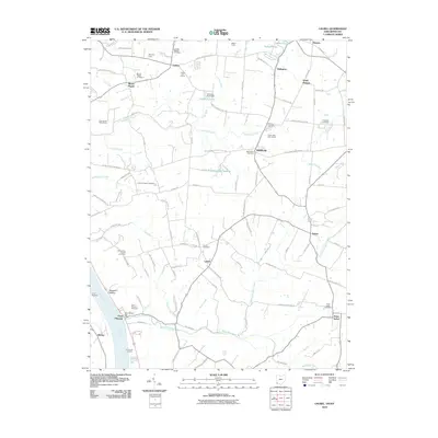
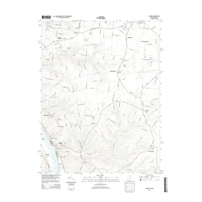
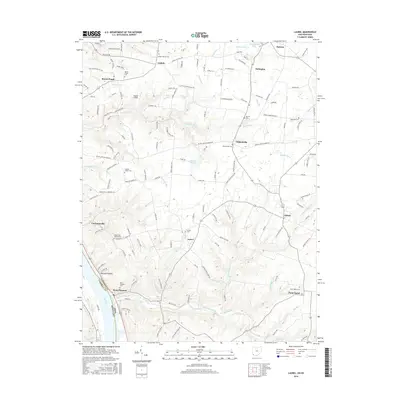
 1953 Laurel1955 Print · USGSClermont County's riverfront and upland hamlets are captured here in the early fifties, showing the rural character of the Ohio River valley. Researchers can locate the Chesapeake and Ohio rail line and historic community hubs like Point Pleasant, Laurel, and the Monroe Sch.
 - 1953 Map of Bethel, 1955 Print
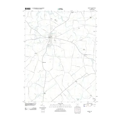
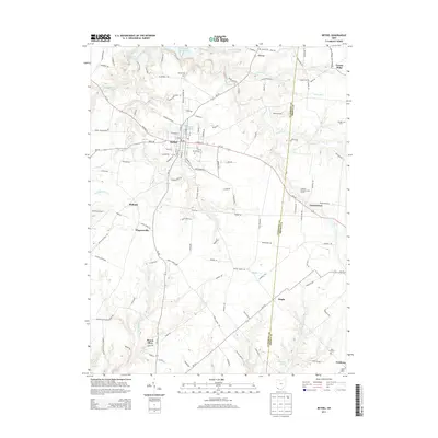
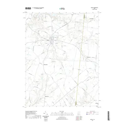
 1953 Bethel1955 Print · USGSClermont and Brown County rural life is captured here in the early fifties, centered on the growing village of Bethel. Genealogists can trace family landmarks like Lakin Chapel, Mt Olive, and the Rose Hill Cem near Feesburg.
 - 1953 Map of Moscow, 1955 Print
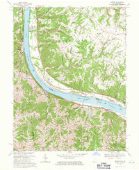
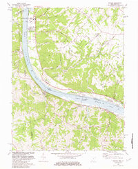
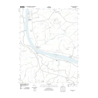
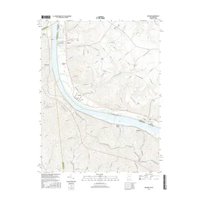
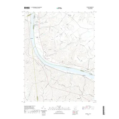
 1953 Moscow1955 Print · USGSThe Ohio River valley in the early fifties reveals a landscape defined by riverside rail travel and upland farming along the Ohio-Kentucky border. Genealogists can trace family sites at Vesper Cem and Flat Rock Ch, or locate old river works at Lock and Dam No 34.2 unique versions available
 - 1956 Map of Louisville, 1971 Print
 1956 Louisville1971 Print · USGSThe Ohio River valley and the Kentucky Bluegrass are captured here during a period of rapid mid-century growth and industrial activity. Genealogists and historians can trace rail-centered towns and military land use at Fort Knox and the Jefferson Proving Ground.2 unique versions available
 - 1964 Map of Louisville
 1964 Louisville1964 Print · USGSThe Ohio River valley and Kentucky Bluegrass are captured in the mid-1960s, showing a region balanced between industrial growth and its agrarian roots. Genealogists and historians can trace the development of county seats like Shelbyville and Paris, or locate established institutions such as Georgetown College and Bernheim Forest.
 - 1968 Map of Laurel, 1970 Print
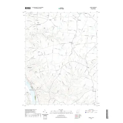
 1968 Laurel1970 Print · USGSClermont County's riverfront and upland townships are captured here in the late sixties, showing a landscape defined by its deep runs and rural hubs. Researchers can trace historic family names and sites such as the Crane Schoolhouse, Point Pleasant, and the Laurel Cem.2 unique versions available
 - 1968 Map of Bethel, 1970 Print
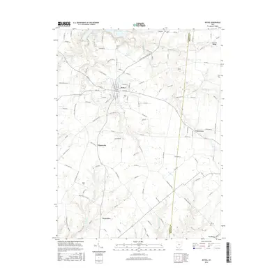
 1968 Bethel1970 Print · USGSClermont County agriculture and village life are captured here in the late sixties, centered on the bustling hub of Bethel. Local historians can trace the foundations of rural communities like Wiggonsville and Yankeetown or locate family plots at Rose Hill Cem and Brooks Cem.4 unique versions available
 - 1968 Map of Moscow, 1971 Print
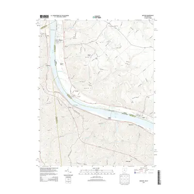
 1968 Moscow1971 Print · USGSLife along the riverfront takes center stage in the late sixties as navigation and rail transport define this stretch of the Ohio valley. Researchers can trace family history through riverside towns and rural landmarks like Moscow Cem, the Chesapeake + Ohio railroad, and McKendree Cem Ch.2 unique versions available
 - 1981 Map of Laurel, 1982 Print
 1981 Laurel1982 Print · USGSClermont County's riverfront and rural interior are captured here in the early 1980s, documenting a landscape of small hamlets and family-named landmarks. Genealogists can trace sites like Monroe Cem, Franklin Chapel, and the historic river town of Point Pleasant.2 unique versions available
 - 1981 Map of Moscow, 1982 Print
 1981 Moscow1982 Print · USGSThe Ohio River valley near Moscow, Ohio, shows a landscape of heavy river infrastructure and ridge-top farming in the early eighties. Researchers can trace rural lineages through family-named landmarks like Fruit Ridge, McKendree Cem, and the old Flat Rock Ch.2 unique versions available
 - 1986 Map of Falmouth
 1986 Falmouth1986 Print · USGSNorthern Kentucky and the Ohio River valley are shown here in the mid-1980s, highlighting the region's complex river-and-rail geography. Genealogists and researchers can trace the roads connecting Big Bone Lick, Zion Church, and river towns like Falmouth and Augusta.2 unique versions available
 - 2010 Map of Bethel, 2010 Print
 2010 Bethel2010 Print · USGSCovers Washington Township, including Bethel, Yankeetown, and other nearby areas
 - 2010 Map of Laurel, 2010 Print
 2010 Laurel2010 Print · USGSCovers Washington Township, including Mentor, Pierce Township, and other nearby areas
 - 2010 Map of Moscow, 2010 Print
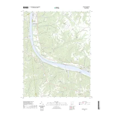
 2010 Moscow2010 Print · USGSCovers Washington Township, including Moscow, Neville, and other nearby areas
 - 2013 Map of Moscow, 2013 Print
 2013 Moscow2013 Print · USGSCovers Washington Township, including Moscow, Neville, and other nearby areas
 - 2013 Map of Laurel, 2013 Print
 2013 Laurel2013 Print · USGSCovers Washington Township, including Mentor, Pierce Township, and other nearby areas
 - 2013 Map of Bethel, 2013 Print
 2013 Bethel2013 Print · USGSCovers Washington Township, including Bethel, Yankeetown, and other nearby areas
 - 2016 Map of Bethel, 2016 Print
 2016 Bethel2016 Print · USGSCovers Washington Township, including Bethel, Yankeetown, and other nearby areas
 - 2016 Map of Moscow, 2016 Print
 2016 Moscow2016 Print · USGSCovers Washington Township, including Moscow, Neville, and other nearby areas
 - 2016 Map of Laurel, 2016 Print
 2016 Laurel2016 Print · USGSCovers Washington Township, including Mentor, Pierce Township, and other nearby areas
 - 2019 Map of Moscow, 2019 Print
 2019 Moscow2019 Print · USGSCovers Washington Township, including Moscow, Neville, and other nearby areas
 - 2019 Map of Laurel, 2019 Print
 2019 Laurel2019 Print · USGSCovers Washington Township, including Mentor, Pierce Township, and other nearby areas
 - 2019 Map of Bethel, 2019 Print
 2019 Bethel2019 Print · USGSCovers Washington Township, including Bethel, Yankeetown, and other nearby areas
 - 2023 Map of Moscow, 2023 Print
 2023 Moscow2023 Print · USGSThe Ohio River valley and its bordering hill country are surveyed here in the modern era. Genealogists can trace family burial sites at Moscow Cem, Vesper Cem, and Chilo-McKendree Chapel Cem.
Showing maps 1-25 of 27
Top cities near Washington Township
- Cincinnati historical maps
- Alexandria historical maps
- Cold Spring historical maps
- Amelia historical maps
- Mount Orab historical maps
- Bethel historical maps
See more
Top neighborhoods of Washington Township
Frequently asked questions
- What are the different types of historical maps available for Washington Township?
- What is the oldest map of Washington Township?
- Where can I purchase historical maps of Washington Township for my home or office?
- Where can I download high-res historical maps of Washington Township?
- Are there historical topographic maps available for Washington Township?
- Is there historical aerial imagery available for Washington Township?
- Where are historical maps of Washington Township sourced from?