Old Maps of Green Township, Ohio for Hiking & Exploration
Hike through history with 32 historic maps of Green Township. Explore old trails, ghost towns, and forgotten backroads — perfect for outdoor adventurers and local explorers.
- Rediscover forgotten places: Map out old mining camps, roads, and footpaths that no longer exist on modern maps.
- Layer with modern tools: Combine with LiDAR or satellite views to plan hikes through historical terrain.
- Made for exploration: Popular among hikers, overlanders, and local history lovers.
Use these maps to find adventure and explore the hidden past of Green Township.
Green Township, OH maps
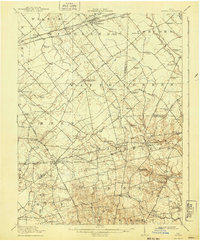
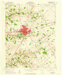
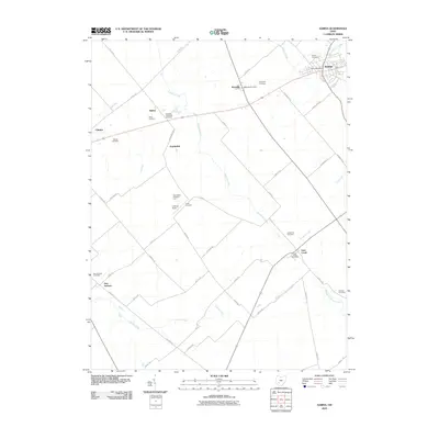
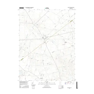
(32)- 1907 Map of Blanchester
 1907 Blanchester1907 Print · USGSClinton County at the dawn of the twentieth century was a landscape of well-connected rail towns and country parishes. Genealogists can trace family roots through numerous landmarks like Macedonia Chapel, Dutch School, and the Childrens Home near Wilmington.3 unique versions available
 - 1917 Map of Sabina, 1943 Print
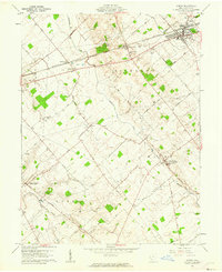
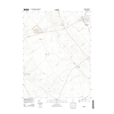
 1917 Sabina1943 Print · USGSSouthwestern Ohio at the eve of the Great War is a landscape of rural hamlets and railroad junctions. Genealogists can locate family-named landmarks like Snider School or trace the early paths of Darktown and Centerville Lees Creek PO.
 - 1943 Map of Sabina
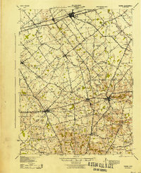 1943 Sabina1943 Print · USGSMid-century Clinton and Highland counties are shown here as a landscape of rail-connected towns and crossroads hamlets. Genealogists can trace family footprints through numerous rural schools like Slickaway Sch, Powderlick Sch, and the Centerville Lees Creek P O.
 - 1947 Map of Columbus, 1948 Print
 1947 Columbus1948 Print · USGSCentral Ohio in the late 1940s is captured in this survey, showing the post-war transition of its rail hubs and military airfield expansions. Genealogists and historians can trace the paths of the Ohio Canal, the Pennsylvania RR lines, and the Camp Sherman Military Reservation.
 - 1960 Map of Martinsville, 1962 Print
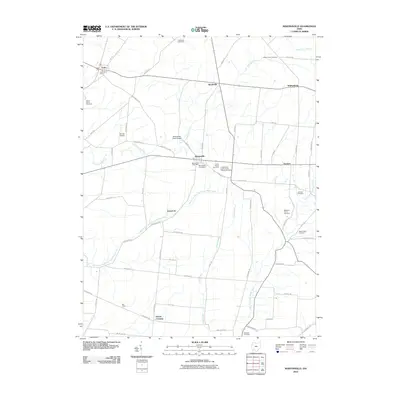
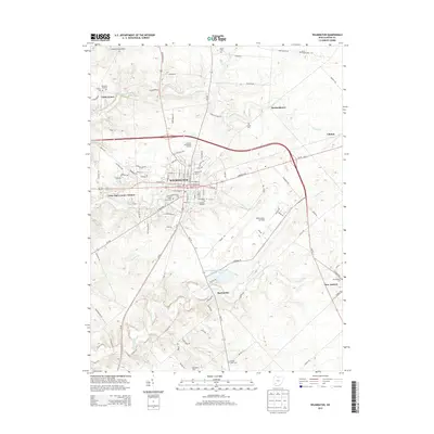
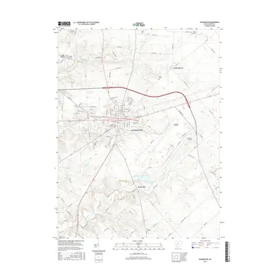
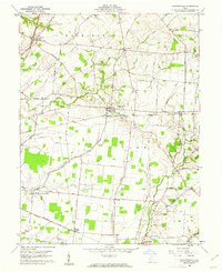 1960 Martinsville1962 Print · USGSClinton and Highland counties are shown in the early 1960s as a thriving agricultural landscape defined by the Baltimore and Ohio RR. Researchers can trace old family roots through sites like Klocks Crossing, IOOF Cem, and the rural Glady Ch.
 - 1960 Map of New Vienna, 1962 Print
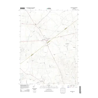
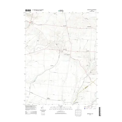
 1960 New Vienna1962 Print · USGSThe borderlands of Clinton and Highland Counties come into focus in the early sixties, centered on the railroad hub of New Vienna. Genealogists can trace family names and rural sites like the Gist Settlement, Odd Fellows Cem, and Fairview Ch.2 unique versions available
 - 1961 Map of Columbus
 1961 Columbus1961 Print · USGSCentral and Southern Ohio are captured here in the early sixties, as the region's industrial rail hubs and military bases reached their peak. Genealogists and historians can trace the transition from urban Columbus to rural townships along the Scioto River, locating Lockbourne USAF and old junctions like Washington Court House.
 - 1961 Map of Wilmington, 1962 Print
 1961 Wilmington1962 Print · USGSWilmington and the surrounding Clinton County townships are captured here in the early sixties as a center of higher education and military aviation. Researchers can trace historic institutions like Wilmington College and the Clinton County Air Force Base, or locate family sites at Dover Cem and Starbucktown.4 unique versions available
 - 1961 Map of Sabina, 1962 Print
 1961 Sabina1962 Print · USGSClinton County farming and rail life are preserved here during the early sixties, centered on the crossing tracks in Sabina. Researchers can trace old family lines through rural landmarks like Richland Ch, the Simon Kenton Sch, and Spurgeon Cem.2 unique versions available
 - 1962 Map of Columbus
 1962 Columbus1962 Print · USGSCentral Ohio during the early sixties reveals a transition from the industrial corridors of Columbus to the forested ridges of the south. Genealogists and historians can trace the rail networks of the Baltimore & Ohio RR and find local landmarks like Washington Court House and Camp Sherman Military Reservation.
 - 1967 Map of Columbus, 1969 Print
 1967 Columbus1969 Print · USGSCentral Ohio during the late sixties serves as a vital corridor of rail and aviation, from the industrial streets of Springfield to the hangar lines of Lockbourne Air Force Base. Genealogists and researchers can trace the growth of towns like Circleville and London or locate rural landmarks such as St Paul church and the London Correctional Institution.2 unique versions available
 - 1986 Map of Hillsboro
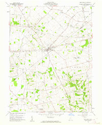
 1986 Hillsboro1986 Print · USGSThe rural landscapes of Highland and Clinton counties appear in the mid-eighties as a busy corridor of railroads and regional airports. Genealogists and historians can trace old community centers like Reesville and Starbucktown alongside significant landmarks like Wilmington College and Fort Hill State Memorial.2 unique versions available
 - 2010 Map of Wilmington, 2010 Print
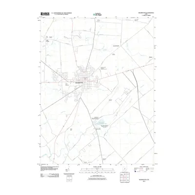 2010 Wilmington2010 Print · USGSCovers Green Township, including Wilmington, Burtonville, and other nearby areas
 - 2010 Map of New Vienna, 2010 Print
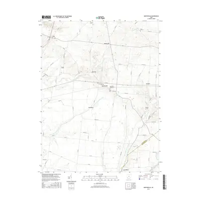
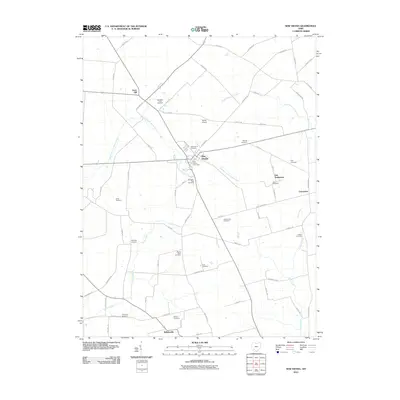 2010 New Vienna2010 Print · USGSCovers Green Township, including New Vienna, Gist Settlement, and other nearby areas
 - 2010 Map of Sabina, 2010 Print
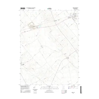
 2010 Sabina2010 Print · USGSCovers Green Township, including Sabina, Richland Township, and other nearby areas
 - 2010 Map of Martinsville, 2010 Print
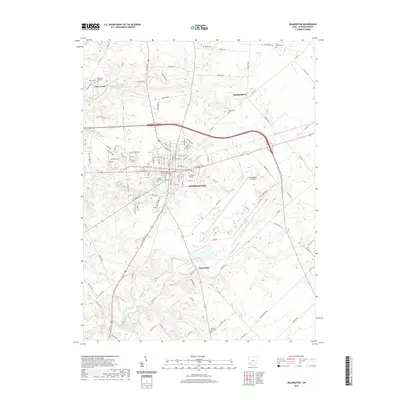
 2010 Martinsville2010 Print · USGSCovers Green Township, including Lynchburg, Martinsville, and other nearby areas
 - 2013 Map of New Vienna, 2013 Print
 2013 New Vienna2013 Print · USGSCovers Green Township, including New Vienna, Gist Settlement, and other nearby areas
 - 2013 Map of Sabina, 2013 Print
 2013 Sabina2013 Print · USGSCovers Green Township, including Sabina, Richland Township, and other nearby areas
 - 2013 Map of Wilmington, 2013 Print
 2013 Wilmington2013 Print · USGSCovers Green Township, including Wilmington, Burtonville, and other nearby areas
 - 2013 Map of Martinsville, 2013 Print
 2013 Martinsville2013 Print · USGSCovers Green Township, including Lynchburg, Martinsville, and other nearby areas
 - 2016 Map of Martinsville, 2016 Print
 2016 Martinsville2016 Print · USGSCovers Green Township, including Lynchburg, Martinsville, and other nearby areas
 - 2016 Map of Sabina, 2016 Print
 2016 Sabina2016 Print · USGSCovers Green Township, including Sabina, Richland Township, and other nearby areas
 - 2016 Map of New Vienna, 2016 Print
 2016 New Vienna2016 Print · USGSCovers Green Township, including New Vienna, Gist Settlement, and other nearby areas
 - 2016 Map of Wilmington, 2016 Print
 2016 Wilmington2016 Print · USGSCovers Green Township, including Wilmington, Burtonville, and other nearby areas
 - 2019 Map of Wilmington, 2019 Print
 2019 Wilmington2019 Print · USGSCovers Green Township, including Wilmington, Burtonville, and other nearby areas
Showing maps 1-25 of 32
Top cities near Green Township
- Wilmington historical maps
- Hillsboro historical maps
- Sabina historical maps
- Lynchburg historical maps
- Leesburg historical maps
- New Vienna historical maps
See more
Top neighborhoods of Green Township
Frequently asked questions
- What are the different types of historical maps available for Green Township?
- What is the oldest map of Green Township?
- Where can I purchase historical maps of Green Township for my home or office?
- Where can I download high-res historical maps of Green Township?
- Are there historical topographic maps available for Green Township?
- Is there historical aerial imagery available for Green Township?
- Where are historical maps of Green Township sourced from?