2020s Maps of Leetonia, Ohio
Explore 4 historic maps of Leetonia from the 2020s. These maps offer a rare glimpse into what life looked like during the 2020s — showing old roads, neighborhoods, homes, and landmarks that have changed or disappeared over time.
Whether you're researching your family's past, planning a metal detecting trip, or studying how Leetonia's landscape evolved across the 2020s, these high-resolution maps are a powerful tool for exploring the history of this region.
- Focus on a specific era: All maps on this page are from the 2020s, giving you a focused view of this time period.
- See what’s changed: Compare century-old streets, trails, and buildings to today's modern landscape using overlays and satellite layers.
- Research with precision: Use these maps for genealogy, historical research, land use analysis, or educational projects.
- View, download, or print: Maps are fully viewable online in high resolution, and can be downloaded or printed for your own records.
Start exploring Leetonia's history through authentic maps from the 2020s. This is your window into the past.
Leetonia, OH maps
(4)- 2023 Map of Elkton, 2023 Print
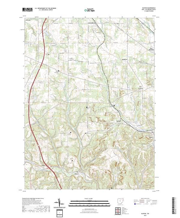 2023 Elkton2023 Print · USGSColumbiana County’s rural crossroads and rolling hills are documented here in the early twenty-first century. Genealogists and historians can trace numerous family burial grounds including Cool Springs Cem and Church Hill Cem alongside the villages of East Fairfield and New Waterford.
 - 2023 Map of Salem, 2023 Print
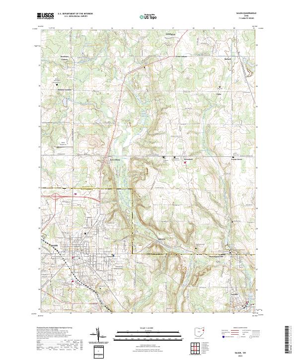 2023 Salem2023 Print · USGSColumbiana and Mahoning counties appear in recent detail, capturing the enduring small-town character of eastern Ohio. Researchers can locate ancestral burial sites and churches including Grandview Cem, Washingtonville Cem, and the Robbins Memorial Church.
 - 2023 Map of Columbiana, 2023 Print
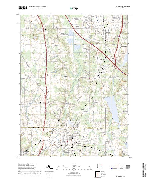 2023 Columbiana2023 Print · USGSThe Mahoning and Columbiana county line region is captured here in the early twenty-first century, showing a landscape of established family farms and small settlements. Genealogists can locate numerous local burial sites including Midway Mennonite Cem, Zion Hill Cem, and Paulin Cem.
 - 2023 Map of Lisbon, 2023 Print
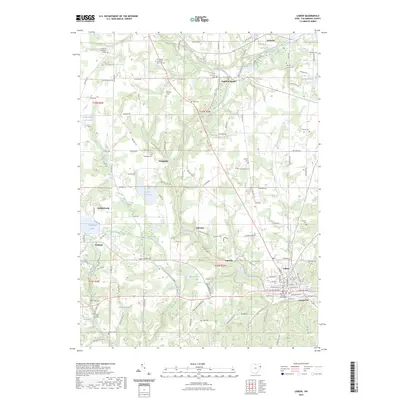 2023 Lisbon2023 Print · USGSLisbon and the surrounding Columbiana County countryside are shown here in the early twenty-first century, highlighting a landscape of deep valleys and established town centers. Genealogists can locate family sites at Saint Jacobs Cem and English Cem or trace the early paths through Logtown and Teegarden.
End of results
Showing maps 1-4 of 4
Top cities near Leetonia
- Youngstown historical maps
- Boardman historical maps
- Austintown historical maps
- Salem historical maps
- Unity historical maps
- Struthers historical maps
See more
Frequently asked questions
- What are the different types of historical maps available for Leetonia?
- What is the oldest map of Leetonia?
- Where can I purchase historical maps of Leetonia for my home or office?
- Where can I download high-res historical maps of Leetonia?
- Are there historical topographic maps available for Leetonia?
- Is there historical aerial imagery available for Leetonia?
- Where are historical maps of Leetonia sourced from?