Old Maps of Monroe Township, Ohio for Metal Detecting
Plan your next treasure hunt with 25 historic maps of Monroe Township. Find old homesites, ghost towns, trails, and gathering spots that may be lost to time — perfect for identifying promising metal detecting locations.
- Locate forgotten sites: Uncover places like long-lost settlements, abandoned rail lines, or gathering spots.
- Plan better hunts: Use map overlays combined with LiDAR or satellite views to narrow in on historically rich areas.
- Made for detectorists: Thousands of hobbyists use these maps to discover relics, coins, and hidden history.
Use these historic maps to boost your research and find new opportunities beneath the surface of Monroe Township.
Monroe Township, OH maps
(25)- 1913 Map of Brinkhaven, 1958 Print
 1913 Brinkhaven1958 Print · USGSCoshocton County was a landscape of steep ridges and river valleys just before the First World War. Researchers can locate dozens of country schoolhouses and churches, such as Nigger Run School, Tiverton Center, and Wilson Chapel.
 - 1913 Map of Coshocton, 1964 Print
 1913 Coshocton1964 Print · USGSCoshocton and the Muskingum River headwaters are captured here just before the Great War, showing a landscape defined by the Ohio Canal and converging rail lines. Genealogists can trace family roots through dozens of rural schools like Soggy Hill School and vanished post offices like Clark PO.
 - 1915 Map of Brinkhaven, 1925 Print
 1915 Brinkhaven1925 Print · USGSCoshocton and Knox counties come alive in the decade before the Great War, showing a network of river-valley rail towns and upland farmsteads. Genealogists can trace family footprints across dozens of local landmarks like Nigger Run School 23, Mohawk Village, and New Guilford.2 unique versions available
 - 1915 Map of Coshocton, 1939 Print
 1915 Coshocton1939 Print · USGSCoshocton and the river forks are captured here just before the Great War, showing the region's transition from canal power to a rail-driven economy. Genealogists can locate dozens of numbered district schools and rural post offices like Bloomfield Clark PO, Roscoe, and Becks Mills.2 unique versions available
 - 1943 Map of Coshocton
 1943 Coshocton1943 Print · USGSCoshocton and its surrounding river valleys are captured here during the early years of the war, showcasing a dense network of rural schools and rail-fed towns. Researchers can locate the COUNTY INFIRMARY, trace the old CANAL route near Canal Lewisville, or find family sites near Soggy Hill Sch and Helmick Sta.
 - 1950 Map of Marion
 1950 Marion1950 Print · USGSCentral Ohio was a powerhouse of rail and river industry at the mid-century point, serving as a vital corridor between the Great Lakes and the Ohio River valley. Genealogists and rail historians can trace the paths of the Erie RR and Nickel Plate Road through towns like Bucyrus, Galion, and Upper Sandusky.
 - 1951 Map of Canton
 1951 Canton1951 Print · USGSThe industrial heartland of Ohio and Pennsylvania reached its mid-century peak during this era of heavy rail and river transit. Genealogists and historians can trace the development of steel towns like Aliquippa and Weirton alongside the Ohio River and major lines of the Pennsylvania RR.
 - 1953 Map of Canton
 1953 Canton1953 Print · USGSThe industrial heartland of Ohio and Pennsylvania is captured at its mid-century peak in this detailed regional survey. Genealogists and historians can trace the vast rail networks of the Pennsylvania RR and find local landmarks like Nimisila Reservoir and Tappan Reservoir.
 - 1957 Map of Canton, 1971 Print
 1957 Canton1971 Print · USGSThe industrial heartland of eastern Ohio and western Pennsylvania comes alive in this mid-century survey of the Ohio River Valley. Trace the heritage of rail and river commerce through Pittsburgh, the massive steel towns along the Ohio River, and major junctions on the Pennsylvania RR.3 unique versions available
 - 1962 Map of Marion
 1962 Marion1962 Print · USGSCentral Ohio during the post-war era showcases a dense network of railroad towns and emerging interstate highways. Genealogists can trace family roots in smaller settlements like Houcktown and Marseilles or locate landmarks near Indian Lake.
 - 1962 Map of Canton
 1962 Canton1962 Print · USGSThe industrial heartland of Eastern Ohio and Western Pennsylvania thrives in the early sixties as steel mills and rail lines dominate the river valleys. Genealogists and historians can trace local landmarks like McKinley National Memorial, Malone College, and industrial sites such as Republic Steel Corp.2 unique versions available
 - 1962 Map of Spring Mountain, 1963 Print
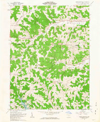 1962 Spring Mountain1963 Print · USGSThe rolling hills of Coshocton County come into focus in the early sixties as a landscape of gas wells, strip mines, and remote hilltop cemeteries. Genealogists can trace family roots through sites like Union Grove Ch Cem, Fort Fizzle, and Dutch Run Ch.2 unique versions available
 - 1962 Map of Killbuck, 1963 Print
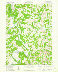 1962 Killbuck1963 Print · USGSThe rural valleys of Holmes and Coshocton Counties are captured here in the early 1960s as a landscape of small rail-side hamlets and family farmsteads. Local historians can trace the PENNSYLVANIA line through Helmick or locate local landmarks like the Covered Bridge and Salem Cem.5 unique versions available
 - 1966 Map of Marion, 1968 Print
 1966 Marion1968 Print · USGSCentral Ohio in the mid-sixties is captured during a period of rapid highway expansion and industrial connectivity. Genealogists and historians can trace rail-and-river networks through towns like Marion, Urbana, and Mount Vernon, or locate landmarks such as Malabar Farm and Black Hand Rock.3 unique versions available
 - 1994 Map of Killbuck, 1998 Print
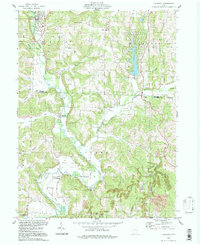 1994 Killbuck1998 Print · USGSHolmes and Coshocton Counties in the 1990s show a landscape of winding creeks and active resource extraction. Genealogists and local historians can trace family burial grounds like Salem Cem or follow the path of the old Railroad Grade near Blissfield.
 - 2010 Map of Killbuck, 2010 Print
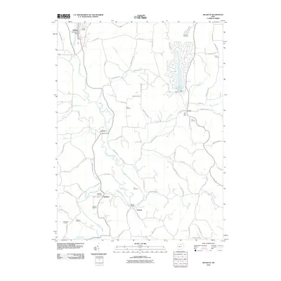 2010 Killbuck2010 Print · USGSHolmes County life revolves around the winding path of Killbuck Creek and its rural outposts in the early twenty-first century. Genealogists can trace family footprints at Blissfield Cemetery or locate the historic Helmick Bridge and local post offices.
 - 2010 Map of Spring Mountain, 2010 Print
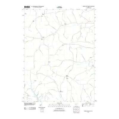 2010 Spring Mountain2010 Print · USGSCoshocton County's rural townships are shown here in the early twenty-first century, revealing a landscape of small settlements and numerous family burial grounds. Genealogists can locate sites like Harmony Cemetery and Spring Mountain Cemetery or trace the routes through Stillwell and New Princeton.
 - 2013 Map of Spring Mountain, 2013 Print
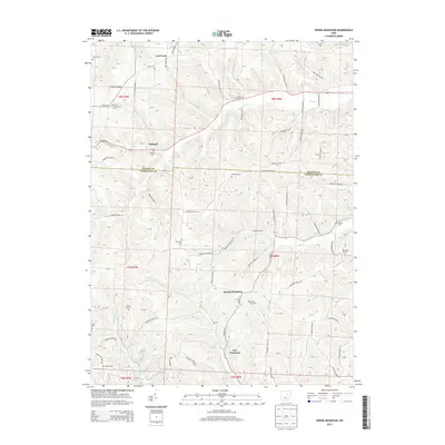 2013 Spring Mountain2013 Print · USGSCoshocton and Holmes counties appear here in the early twenty-first century, showing a landscape of traditional Ohio townships and deep creek valleys. Genealogists can locate family burial sites like Spring Mountain Cemetery and Dutch Run Cemetery near the historic crossing at Stillwell.
 - 2013 Map of Killbuck, 2013 Print
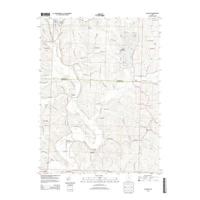 2013 Killbuck2013 Print · USGSThe border of Holmes and Coshocton counties comes alive in this 2013 survey of the rural interior. Researchers can trace the layout of small settlements like Blissfield and Layland, or locate family sites at Oakhill Cem and Helmick Bridge.
 - 2016 Map of Spring Mountain, 2016 Print
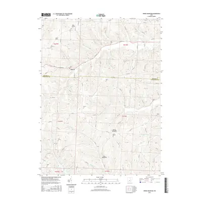 2016 Spring Mountain2016 Print · USGSThe rural border of Holmes and Coshocton Counties comes into focus during this mid-2010s survey. Researchers can trace the lineage of local families through numerous small burial sites, from Bucy Cem near Fort Fizzle to the Pleasant Hill Cem.
 - 2016 Map of Killbuck, 2016 Print
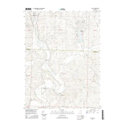 2016 Killbuck2016 Print · USGSThe valley of Killbuck Creek serves as the backbone of this Holmes County survey, where the village of Killbuck and the settlement of Blissfield sit along the central waterway. Genealogists can trace family names through numerous rural burial sites like Oakhill Cem, Salem Cem, and Weatherwax Cem.
 - 2019 Map of Killbuck, 2019 Print
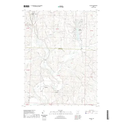 2019 Killbuck2019 Print · USGSThe borderlands of Holmes and Coshocton counties come into focus in this recent survey of the Killbuck Creek valley. Genealogists and local historians can trace family locations near several rural burial sites like Fox Cem and Blissfield Cem, or locate landmarks such as the Helmick Bridge.
 - 2019 Map of Spring Mountain, 2019 Print
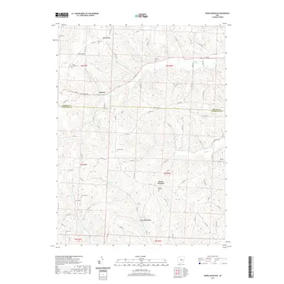 2019 Spring Mountain2019 Print · USGSCoshocton and Holmes counties appear here in the late twenty-tens, showing a rural landscape defined by narrow ridges and deep stream valleys. Genealogists can locate over a dozen burial sites, including Bucy Cem, Stillwell Cem, and McKee Cem.
 - 2023 Map of Killbuck, 2023 Print
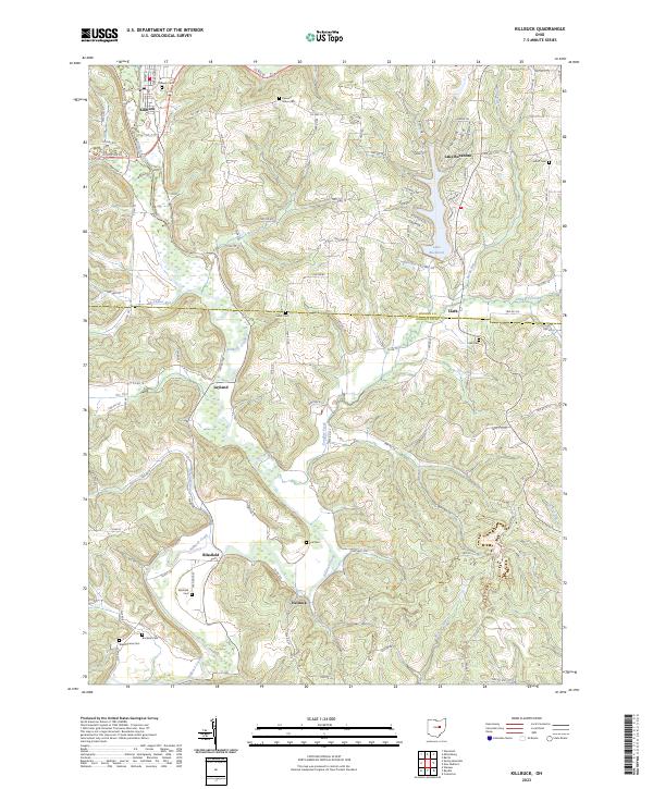 2023 Killbuck2023 Print · USGSThe Killbuck Creek valley in Holmes and Coshocton Counties is captured here in the early twenty-first century, showing the enduring rail and road networks of these rural townships. Researchers can trace family history through numerous local sites like Salem Cem, Blissfield Cem, and the village of Helmick.
 - 2023 Map of Spring Mountain, 2023 Print
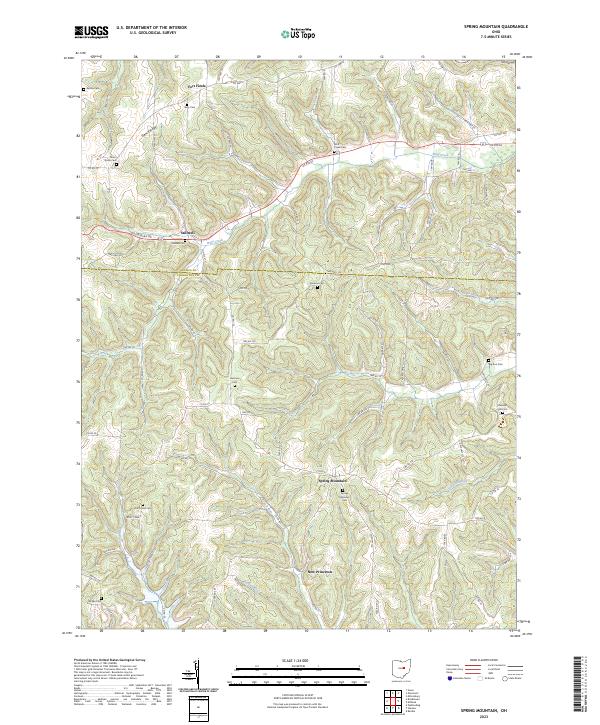 2023 Spring Mountain2023 Print · USGSSpring Mountain and the rural border between Coshocton and Holmes counties appear in this modern survey of central Ohio. Genealogists can trace family landmarks at Spring Mountain Cem, Stillwell, and the curious site of Fort Fizzle.
End of results
Showing maps 1-25 of 25
Top cities near Monroe Township
- Coshocton historical maps
- Millersburg historical maps
- Loudonville historical maps
- Keene historical maps
- Franklin historical maps
- Danville historical maps
See more
Top neighborhoods of Monroe Township
Frequently asked questions
- What are the different types of historical maps available for Monroe Township?
- What is the oldest map of Monroe Township?
- Where can I purchase historical maps of Monroe Township for my home or office?
- Where can I download high-res historical maps of Monroe Township?
- Are there historical topographic maps available for Monroe Township?
- Is there historical aerial imagery available for Monroe Township?
- Where are historical maps of Monroe Township sourced from?