Old Maps of Tiverton Township, Ohio for Genealogy
Trace your family roots with 17 historic maps of Tiverton Township. These high-res maps reveal old neighborhoods, homesites, landmarks, and streets — helping you uncover where your ancestors lived and how the area evolved over time.
- Explore historic neighborhoods: Identify where your relatives may have lived in the 1800s or 1900s.
- Compare maps over time: Trace the changes in streets, buildings, and landmarks for multi-generational research.
- Perfect for genealogy & ancestry research: Used by family historians and researchers to map out lineage and migration.
These maps are an incredible resource for exploring your personal connection to Tiverton Township's past.
Tiverton Township, OH maps
(17)- 1913 Map of Brinkhaven, 1958 Print
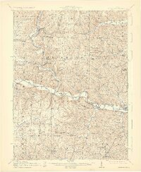
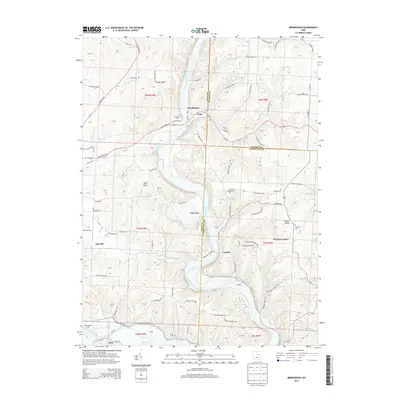
 1913 Brinkhaven1958 Print · USGSCoshocton County was a landscape of steep ridges and river valleys just before the First World War. Researchers can locate dozens of country schoolhouses and churches, such as Nigger Run School, Tiverton Center, and Wilson Chapel.
 - 1915 Map of Brinkhaven, 1925 Print
 1915 Brinkhaven1925 Print · USGSCoshocton and Knox counties come alive in the decade before the Great War, showing a network of river-valley rail towns and upland farmsteads. Genealogists can trace family footprints across dozens of local landmarks like Nigger Run School 23, Mohawk Village, and New Guilford.2 unique versions available
 - 1950 Map of Marion
 1950 Marion1950 Print · USGSCentral Ohio was a powerhouse of rail and river industry at the mid-century point, serving as a vital corridor between the Great Lakes and the Ohio River valley. Genealogists and rail historians can trace the paths of the Erie RR and Nickel Plate Road through towns like Bucyrus, Galion, and Upper Sandusky.
 - 1961 Map of Brinkhaven, 1963 Print
 1961 Brinkhaven1963 Print · USGSIn the early sixties, the Mohican River valley supported a mix of rail transit and active drilling near Brinkhaven. Researchers can trace old family burial sites like Borden Cem and rural landmarks such as Tiverton Ch and Riley Chapel.4 unique versions available
 - 1962 Map of Marion
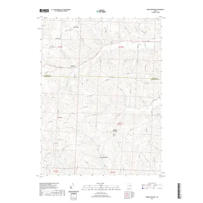
 1962 Marion1962 Print · USGSCentral Ohio during the post-war era showcases a dense network of railroad towns and emerging interstate highways. Genealogists can trace family roots in smaller settlements like Houcktown and Marseilles or locate landmarks near Indian Lake.
 - 1962 Map of Spring Mountain, 1963 Print
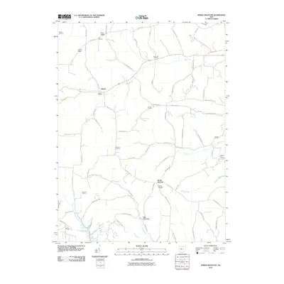
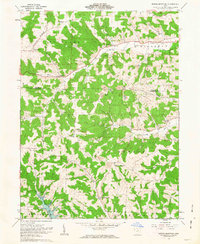 1962 Spring Mountain1963 Print · USGSThe rolling hills of Coshocton County come into focus in the early sixties as a landscape of gas wells, strip mines, and remote hilltop cemeteries. Genealogists can trace family roots through sites like Union Grove Ch Cem, Fort Fizzle, and Dutch Run Ch.2 unique versions available
 - 1966 Map of Marion, 1968 Print
 1966 Marion1968 Print · USGSCentral Ohio in the mid-sixties is captured during a period of rapid highway expansion and industrial connectivity. Genealogists and historians can trace rail-and-river networks through towns like Marion, Urbana, and Mount Vernon, or locate landmarks such as Malabar Farm and Black Hand Rock.3 unique versions available
 - 2010 Map of Brinkhaven, 2010 Print
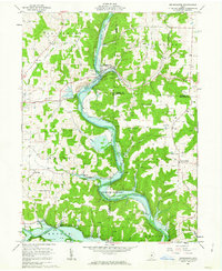
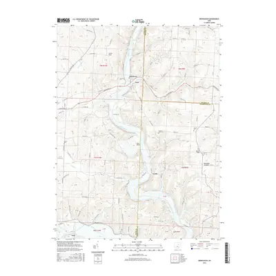
 2010 Brinkhaven2010 Print · USGSCovers Tiverton Township, including Brinkhaven, Jefferson Township, and other nearby areas
 - 2010 Map of Spring Mountain, 2010 Print
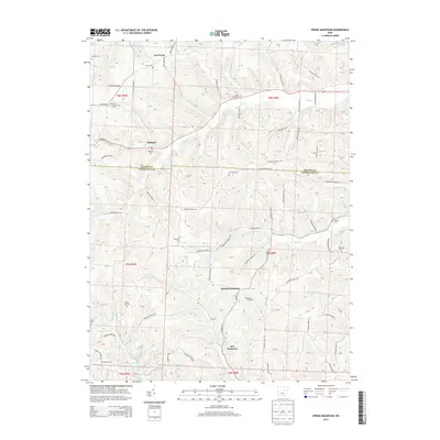
 2010 Spring Mountain2010 Print · USGSCovers Tiverton Township, including New Princeton, Stillwell, and other nearby areas
 - 2013 Map of Brinkhaven, 2013 Print
 2013 Brinkhaven2013 Print · USGSCovers Tiverton Township, including Brinkhaven, Jefferson Township, and other nearby areas
 - 2013 Map of Spring Mountain, 2013 Print
 2013 Spring Mountain2013 Print · USGSCovers Tiverton Township, including New Princeton, Stillwell, and other nearby areas
 - 2016 Map of Spring Mountain, 2016 Print
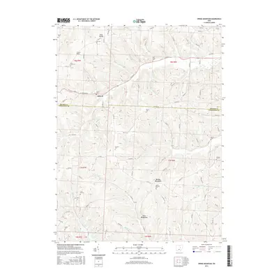 2016 Spring Mountain2016 Print · USGSCovers Tiverton Township, including New Princeton, Stillwell, and other nearby areas
 - 2016 Map of Brinkhaven, 2016 Print
 2016 Brinkhaven2016 Print · USGSCovers Tiverton Township, including Brinkhaven, Jefferson Township, and other nearby areas
 - 2019 Map of Spring Mountain, 2019 Print
 2019 Spring Mountain2019 Print · USGSCovers Tiverton Township, including New Princeton, Stillwell, and other nearby areas
 - 2019 Map of Brinkhaven, 2019 Print
 2019 Brinkhaven2019 Print · USGSCovers Tiverton Township, including Brinkhaven, Jefferson Township, and other nearby areas
 - 2023 Map of Spring Mountain, 2023 Print
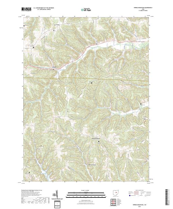 2023 Spring Mountain2023 Print · USGSSpring Mountain and the rural border between Coshocton and Holmes counties appear in this modern survey of central Ohio. Genealogists can trace family landmarks at Spring Mountain Cem, Stillwell, and the curious site of Fort Fizzle.
 - 2023 Map of Brinkhaven, 2023 Print
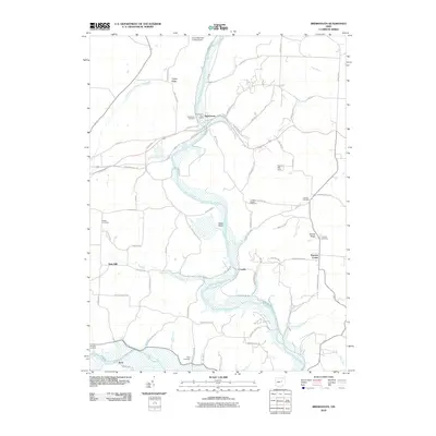
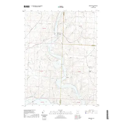
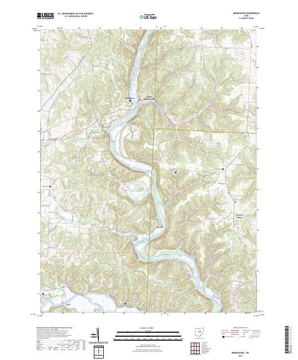 2023 Brinkhaven2023 Print · USGSKnox County hill country in the early twenty-first century is defined by the winding Mohican River and the settlements of Brinkhaven and Gann. Genealogists can locate several rural burial sites, including Tiverton Cem and Hollister Cem, or trace the legacy of the Stone Quarry.
End of results
Showing maps 1-17 of 17
Top cities near Tiverton Township
- Howard historical maps
- Millersburg historical maps
- Loudonville historical maps
- Danville historical maps
- Killbuck historical maps
- Warsaw historical maps
See more
Top neighborhoods of Tiverton Township
Frequently asked questions
- What are the different types of historical maps available for Tiverton Township?
- What is the oldest map of Tiverton Township?
- Where can I purchase historical maps of Tiverton Township for my home or office?
- Where can I download high-res historical maps of Tiverton Township?
- Are there historical topographic maps available for Tiverton Township?
- Is there historical aerial imagery available for Tiverton Township?
- Where are historical maps of Tiverton Township sourced from?