2000s (21st Century) Maps of White Eyes Township, Ohio
Explore 10 historic maps of White Eyes Township from the 2000s (21st Century). These maps offer a rare glimpse into what life looked like during the 2000s — showing old roads, neighborhoods, homes, and landmarks that have changed or disappeared over time.
Whether you're researching your family's past, planning a metal detecting trip, or studying how White Eyes Township's landscape evolved across the 2000s, these high-resolution maps are a powerful tool for exploring the history of this region.
- Focus on a specific era: All maps on this page are from the 2000s, giving you a focused view of this time period.
- See what’s changed: Compare century-old streets, trails, and buildings to today's modern landscape using overlays and satellite layers.
- Research with precision: Use these maps for genealogy, historical research, land use analysis, or educational projects.
- View, download, or print: Maps are fully viewable online in high resolution, and can be downloaded or printed for your own records.
Start exploring White Eyes Township's history through authentic maps from the 2000s. This is your window into the past.
White Eyes Township, OH maps
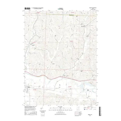
(10)- 2010 Map of Fresno, 2010 Print
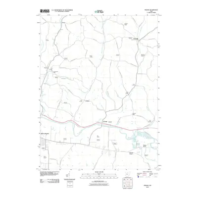 2010 Fresno2010 Print · USGSCovers White Eyes Township, including West Lafayette, Fresno, and other nearby areas
 - 2010 Map of Coshocton, 2010 Print
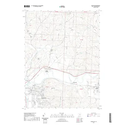
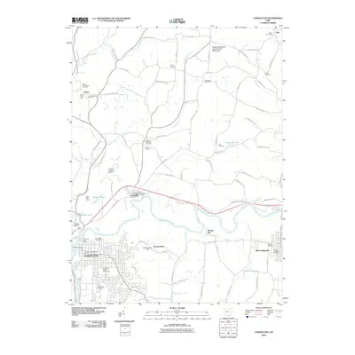 2010 Coshocton2010 Print · USGSCovers White Eyes Township, including Coshocton, West Lafayette, and other nearby areas
 - 2013 Map of Coshocton, 2013 Print
 2013 Coshocton2013 Print · USGSCovers White Eyes Township, including Coshocton, West Lafayette, and other nearby areas
 - 2013 Map of Fresno, 2013 Print
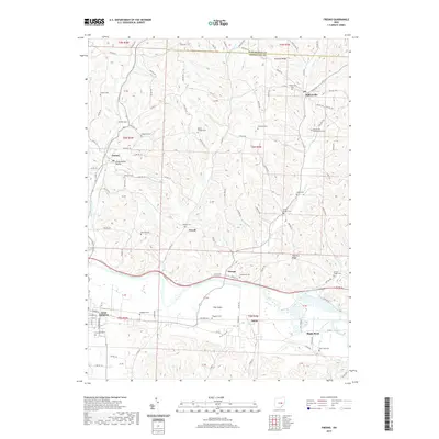
 2013 Fresno2013 Print · USGSCovers White Eyes Township, including West Lafayette, Fresno, and other nearby areas
 - 2016 Map of Coshocton, 2016 Print
 2016 Coshocton2016 Print · USGSCovers White Eyes Township, including Coshocton, West Lafayette, and other nearby areas
 - 2016 Map of Fresno, 2016 Print
 2016 Fresno2016 Print · USGSCovers White Eyes Township, including West Lafayette, Fresno, and other nearby areas
 - 2019 Map of Fresno, 2019 Print
 2019 Fresno2019 Print · USGSCovers White Eyes Township, including West Lafayette, Fresno, and other nearby areas
 - 2019 Map of Coshocton, 2019 Print
 2019 Coshocton2019 Print · USGSCovers White Eyes Township, including Coshocton, West Lafayette, and other nearby areas
 - 2023 Map of Fresno, 2023 Print
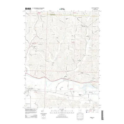
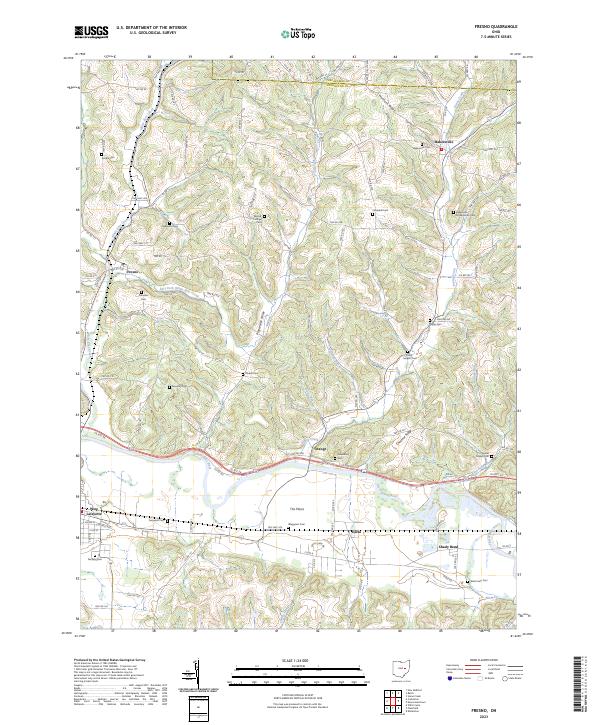 2023 Fresno2023 Print · USGSThe Tuscarawas River valley and its surrounding ridges come into focus in this recent Ohio survey. Researchers can trace family history through a remarkable number of local burial sites, including Evansburg Cem, Waggoner Cem, and the Bakersville Presbyterian Cem.
 - 2023 Map of Coshocton, 2023 Print
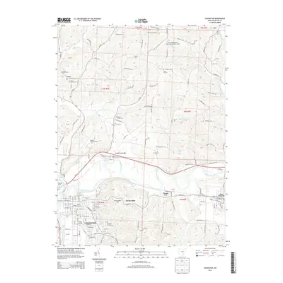
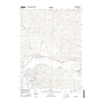
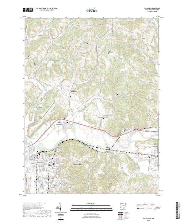 2023 Coshocton2023 Print · USGSThe river forks at Coshocton define this landscape as it appears in the early twenty-first century. Genealogists and local historians can trace family sites at Keene Methodist Cem, locate the Coshocton County Courthouse, or explore the old canal basins like Mudport Basin.
End of results
Showing maps 1-10 of 10
Top cities near White Eyes Township
- Coshocton historical maps
- Newcomerstown historical maps
- Walnut Creek historical maps
- Millersburg historical maps
- West Lafayette historical maps
- Sugarcreek historical maps
See more
Top neighborhoods of White Eyes Township
Frequently asked questions
- What are the different types of historical maps available for White Eyes Township?
- What is the oldest map of White Eyes Township?
- Where can I purchase historical maps of White Eyes Township for my home or office?
- Where can I download high-res historical maps of White Eyes Township?
- Are there historical topographic maps available for White Eyes Township?
- Is there historical aerial imagery available for White Eyes Township?
- Where are historical maps of White Eyes Township sourced from?