Old Maps of Richmond Heights, Ohio for Metal Detecting
Plan your next treasure hunt with 25 historic maps of Richmond Heights. Find old homesites, ghost towns, trails, and gathering spots that may be lost to time — perfect for identifying promising metal detecting locations.
- Locate forgotten sites: Uncover places like long-lost settlements, abandoned rail lines, or gathering spots.
- Plan better hunts: Use map overlays combined with LiDAR or satellite views to narrow in on historically rich areas.
- Made for detectorists: Thousands of hobbyists use these maps to discover relics, coins, and hidden history.
Use these historic maps to boost your research and find new opportunities beneath the surface of Richmond Heights.
Richmond Heights, OH maps
(25)- 1901 Map of Euclid, 1963 Print
 1901 Euclid1963 Print · USGSThe Lake Erie shoreline east of Cleveland was a bustling network of rail and recreation at the turn of the century. Trace early suburban development in Nottingham and Collamer, or locate landmarks like Euclid Beach Park and the Garfield Tomb.
 - 1903 Map of Euclid, 1939 Print
 1903 Euclid1939 Print · USGSThe Lake Erie shoreline east of Cleveland at the turn of the century shows a landscape of growing rail suburbs and lakeside resorts. Genealogists and local historians can trace old neighborhoods like Bluestone and Nottingham or locate the Garfield Tomb and Euclid Beach Park during their early years.2 unique versions available
 - 1905 Map of Mentor, 1961 Print
 1905 Mentor1961 Print · USGSLake County and Geauga County thrived in the early twentieth century as a hub for electric rail travel and river-powered industry. Genealogists and historians can trace the foundations of Willoughby and Painesville or locate early milling sites like Wilson Mills and Fowlers Mill.
 - 1907 Map of Mentor, 1947 Print
 1907 Mentor1947 Print · USGSNortheast Ohio thrives at the turn of the century, where the electric railway and steam lines meet the Lake Erie shore. Genealogists can trace early homesteads near Eagles Mill, Richmond Grand River PO, and the old postal stop at Mulberry Corners.
 - 1950 Map of Cleveland
 1950 Cleveland1950 Print · USGSCovers Richmond Heights, including Cleveland, Akron, and other nearby areas
 - 1953 Map of East Cleveland, 1955 Print
 1953 East Cleveland1955 Print · USGSCuyahoga County’s eastern suburbs and shoreline thrive in the early fifties as neighborhoods like Euclid and Cleveland integrate. Genealogists and historians can locate numerous local institutions, from Lake View Cemetery and Case Observatory to Euclid Beach Park.
 - 1953 Map of Mayfield Heights, 1955 Print
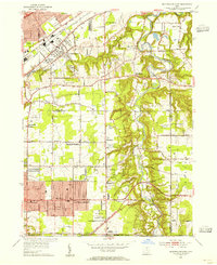 1953 Mayfield Heights1955 Print · USGSGreater Cleveland’s eastern suburbs were undergoing a mid-century transformation as residential grids met the river valley. Genealogists can locate family sites near the Little Church in the Vale or the Borromeo Seminary and trace the original County Airport grounds.2 unique versions available
 - 1956 Map of Cleveland, 1967 Print
 1956 Cleveland1967 Print · USGSNortheast Ohio and Western Pennsylvania are shown at their industrial height during the mid-fifties, from the steel mills to the lakeshore. Researchers can trace the massive Ravenna Arsenal, the Ohio Turnpike, and vanished rail sidings of the B & O RR.3 unique versions available
 - 1962 Map of Cleveland
 1962 Cleveland1962 Print · USGSNortheast Ohio and the Pennsylvania borderlands appear here during the industrial peak of the early sixties. Genealogists and historians can trace the expansive rail lines of the Nickel Plate Road and the growth of suburbs from Parma to Lyndhurst.
 - 1963 Map of Mayfield Heights, 1964 Print
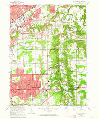 1963 Mayfield Heights1964 Print · USGSSuburban growth meets the river valley in the 1960s as residential tracts fill in between historic country estates. Trace the development of Mayfield Heights and Gates Mills alongside landmarks like Little Church in the Vale and Gilmour Academy.6 unique versions available
 - 1963 Map of East Cleveland, 1964 Print
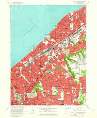 1963 East Cleveland1964 Print · USGSThe eastern suburbs of Cleveland are seen here in the early sixties, a landscape defined by lakefront recreation and expanding industry. Researchers can trace family ties at Lake View Cemetery or locate long-lost neighborhoods near the Collinwood Yard and Euclid Beach Park.3 unique versions available
 - 1985 Map of Cleveland North, 1986 Print
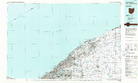 1985 Cleveland North1986 Print · USGSThe Ohio shoreline of Lake Erie in the mid-1980s reveals a bustling landscape of industrial rail lines and expanding lakefront communities. Trace the infrastructure of the era through Burke Lakefront Airport, the sprawling CONRAIL lines, and parks like Headlands Beach State Park.
 - 1994 Map of Cleveland North
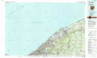 1994 Cleveland North1994 Print · USGSThe Lake Erie shoreline in the mid-nineties shows the urban density of Northeast Ohio giving way to coastal preserves. Researchers can trace the development of lakeside towns like Eastlake and Madison while locating landmarks like Burke Lakefront Airport and Fairport Harbor.
 - 1994 Map of Mayfield Heights, 1997 Print
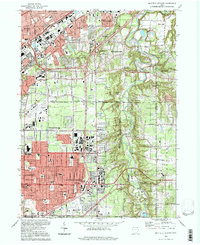 1994 Mayfield Heights1997 Print · USGSEastern Cuyahoga and Lake Counties are shown here during the late twentieth-century suburban boom. Genealogists and local historians can trace burial sites like Knollwood Cemetery, fly over Cuyahoga Airport, or locate the Little Church in the Vale.
 - 1994 Map of East Cleveland, 1997 Print
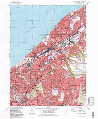 1994 East Cleveland1997 Print · USGSGreater Cleveland’s eastern lakefront and inner suburbs reached their peak industrial and residential density by the mid-nineties. Genealogists and historians can trace neighborhood evolution through sites like Lake View Cemetery, the Collinwood Yard, and Notre Dame College.
 - 2010 Map of Mayfield Heights, 2010 Print
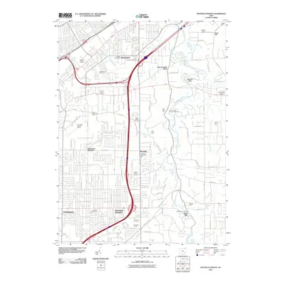 2010 Mayfield Heights2010 Print · USGSThe eastern suburbs of Cleveland are captured here in the early 2000s, showcasing the high-density residential growth alongside the preserved Chagrin River valley. Genealogists can locate family sites across numerous burial grounds including Acacia Park Cemetery, Mayfield Union Cemetery, and Mount Sinai Cemetery.
 - 2010 Map of East Cleveland, 2010 Print
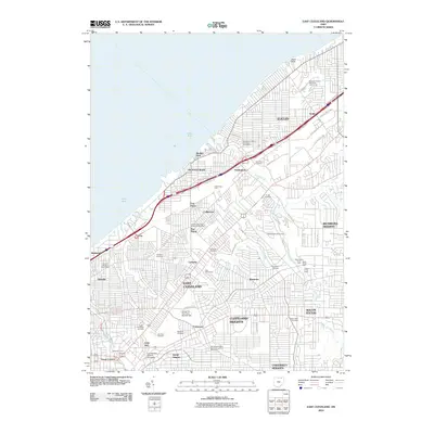 2010 East Cleveland2010 Print · USGSThe eastern suburbs of Cleveland are mapped here at the start of the 2010s, showing a landscape defined by historic rail hubs and prestigious institutions. Genealogists and historians can trace the grounds of Lake View Cemetery, the sprawling Collinwood Yard, and the campus of Case Western Reserve University.
 - 2013 Map of East Cleveland, 2013 Print
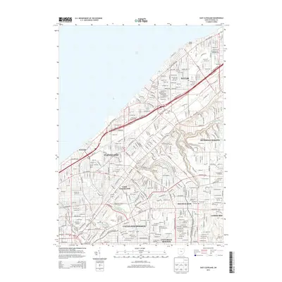 2013 East Cleveland2013 Print · USGSGreater Cleveland at the start of the 2010s shows a mature urban landscape stretching from the shores of Lake Erie through dozens of historic residential neighborhoods. Researchers can trace the grounds of Case Western Reserve Univ, the Garfield Tomb, and Forest Hill Park.
 - 2013 Map of Mayfield Heights, 2013 Print
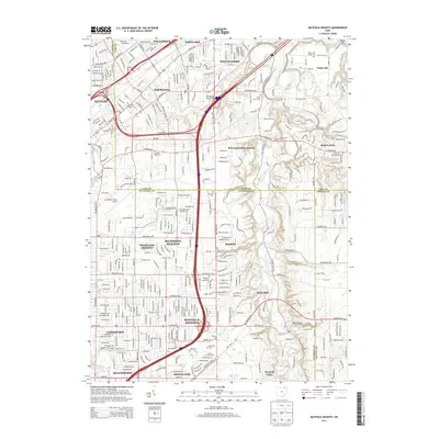 2013 Mayfield Heights2013 Print · USGSGreater Cleveland’s eastern suburbs and the Chagrin River valley are shown here in the early twenty-first century. Genealogists can trace several historic burial sites, including Whitehaven Memorial Park and Knollwood Cem, alongside the Cuyahoga County Airport.
 - 2016 Map of Mayfield Heights, 2016 Print
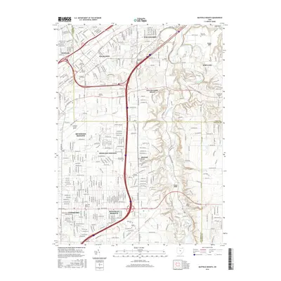 2016 Mayfield Heights2016 Print · USGSGreater Cleveland’s eastern suburbs are shown here in the mid-2010s, capturing a landscape of established residential neighborhoods and large institutional campuses. Trace local history through the many cemeteries like Knollwood Cem or find landmarks like the Cuyahoga County Airport and Borromeo Seminary.
 - 2016 Map of East Cleveland, 2016 Print
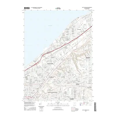 2016 East Cleveland2016 Print · USGSThe Lake Erie shoreline and its industrial suburbs are captured here in the mid-2010s, showing the dense urban fabric between Cleveland and Euclid. Researchers can locate historic sites like East Cleveland Township Cemetery and Case Western Reserve University.
 - 2019 Map of East Cleveland, 2019 Print
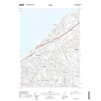 2019 East Cleveland2019 Print · USGSThe eastern suburbs of Cleveland are seen here in the late 2010s, showing a landscape defined by historic burial grounds and major universities. Researchers can locate Lake View Cem, the President Garfield Tomb and Memorial, and the campus of Case Western Reserve University.
 - 2019 Map of Mayfield Heights, 2019 Print
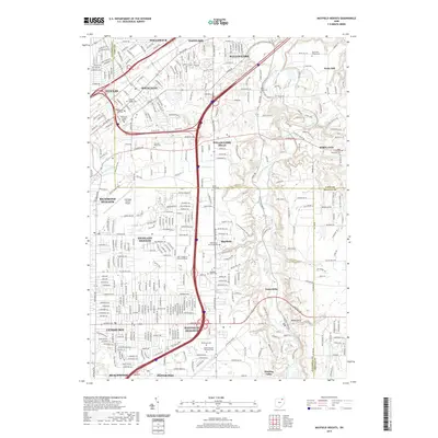 2019 Mayfield Heights2019 Print · USGSThe eastern suburbs of Cleveland show their modern footprint at the end of the 2010s, from the busy corridors of Mayfield Heights to the river valley in Gates Mills. Genealogists and historians can locate several major sites, including Whitehaven Memorial Park, Borromeo Seminary, and Cuyahoga County Airport.
 - 2023 Map of East Cleveland, 2023 Print
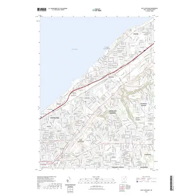 2023 East Cleveland2023 Print · USGSThe residential and cultural heart of Cuyahoga County is captured here in the early twenty-first century. Researchers can trace historic cemeteries such as Lake View Cem and locate landmarks like the President Garfield Tomb and Memorial or Euclid Square Mall.
 - 2023 Map of Mayfield Heights, 2023 Print
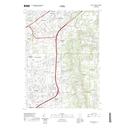 2023 Mayfield Heights2023 Print · USGSThe eastern suburbs of Cleveland meet the wooded Chagrin River valley in this detailed modern survey. Genealogists and historians can trace institutional landmarks like the Rabbinical College Telshe and numerous burial grounds including Whitehaven Memorial Park and Mayfield Cem.
End of results
Showing maps 1-25 of 25
Top cities near Richmond Heights
- Cleveland historical maps
- Parma historical maps
- Euclid historical maps
- Mentor historical maps
- Cleveland Heights historical maps
- North Royalton historical maps
See more
Frequently asked questions
- What are the different types of historical maps available for Richmond Heights?
- What is the oldest map of Richmond Heights?
- Where can I purchase historical maps of Richmond Heights for my home or office?
- Where can I download high-res historical maps of Richmond Heights?
- Are there historical topographic maps available for Richmond Heights?
- Is there historical aerial imagery available for Richmond Heights?
- Where are historical maps of Richmond Heights sourced from?