2000s (21st Century) Maps of Palestine, Ohio
Explore 10 historic maps of Palestine from the 2000s (21st Century). These maps offer a rare glimpse into what life looked like during the 2000s — showing old roads, neighborhoods, homes, and landmarks that have changed or disappeared over time.
Whether you're researching your family's past, planning a metal detecting trip, or studying how Palestine's landscape evolved across the 2000s, these high-resolution maps are a powerful tool for exploring the history of this region.
- Focus on a specific era: All maps on this page are from the 2000s, giving you a focused view of this time period.
- See what’s changed: Compare century-old streets, trails, and buildings to today's modern landscape using overlays and satellite layers.
- Research with precision: Use these maps for genealogy, historical research, land use analysis, or educational projects.
- View, download, or print: Maps are fully viewable online in high resolution, and can be downloaded or printed for your own records.
Start exploring Palestine's history through authentic maps from the 2000s. This is your window into the past.
Palestine, OH maps
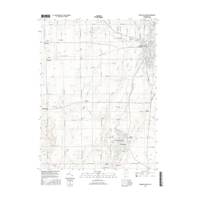
(10)- 2010 Map of Greenville West, 2010 Print
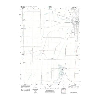 2010 Greenville West2010 Print · USGSCovers Palestine, including Greenville, Sharpeye, and other nearby areas
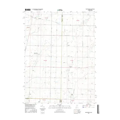
 - 2010 Map of Spartanburg, 2010 Print
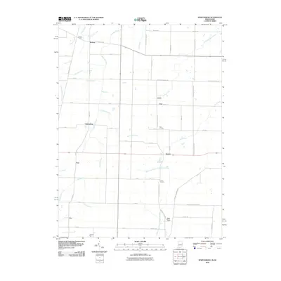 2010 Spartanburg2010 Print · USGSCovers Palestine, including Hollansburg, Long, and other nearby areas
 - 2013 Map of Spartanburg, 2013 Print
 2013 Spartanburg2013 Print · USGSCovers Palestine, including Hollansburg, Long, and other nearby areas
 - 2013 Map of Greenville West, 2013 Print
 2013 Greenville West2013 Print · USGSCovers Palestine, including Greenville, Sharpeye, and other nearby areas
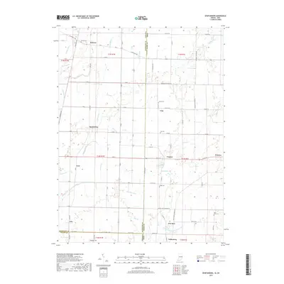
 - 2016 Map of Spartanburg, 2016 Print
 2016 Spartanburg2016 Print · USGSCovers Palestine, including Hollansburg, Long, and other nearby areas
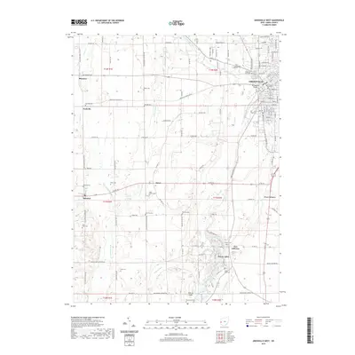
 - 2016 Map of Greenville West, 2016 Print
 2016 Greenville West2016 Print · USGSCovers Palestine, including Greenville, Sharpeye, and other nearby areas
 - 2019 Map of Spartanburg, 2019 Print
 2019 Spartanburg2019 Print · USGSCovers Palestine, including Hollansburg, Long, and other nearby areas
 - 2019 Map of Greenville West, 2019 Print
 2019 Greenville West2019 Print · USGSCovers Palestine, including Greenville, Sharpeye, and other nearby areas
 - 2022 Map of Spartanburg, 2022 Print
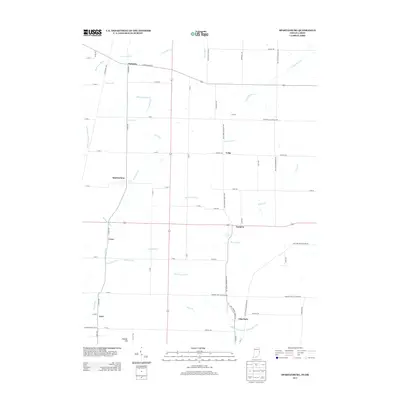
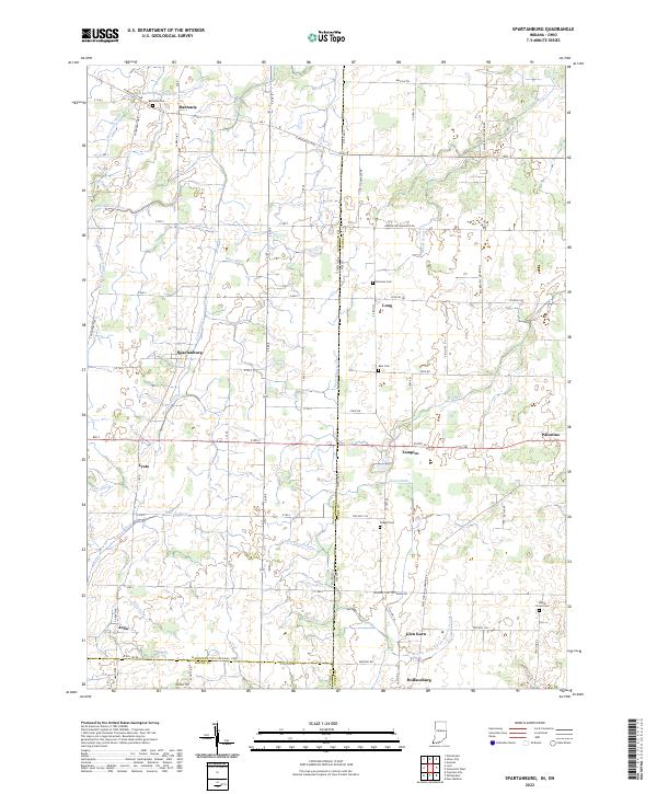 2022 Spartanburg2022 Print · USGSThe Indiana-Ohio borderlands come alive in this contemporary record of Randolph and Darke counties. Genealogists can locate family burial sites at Bartonia Cem and Clemens Cem while tracing the rural hamlets of Spartanburg, Arba, and Palestine.
 - 2023 Map of Greenville West, 2023 Print
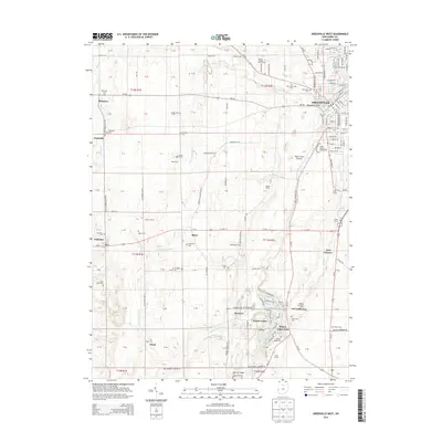
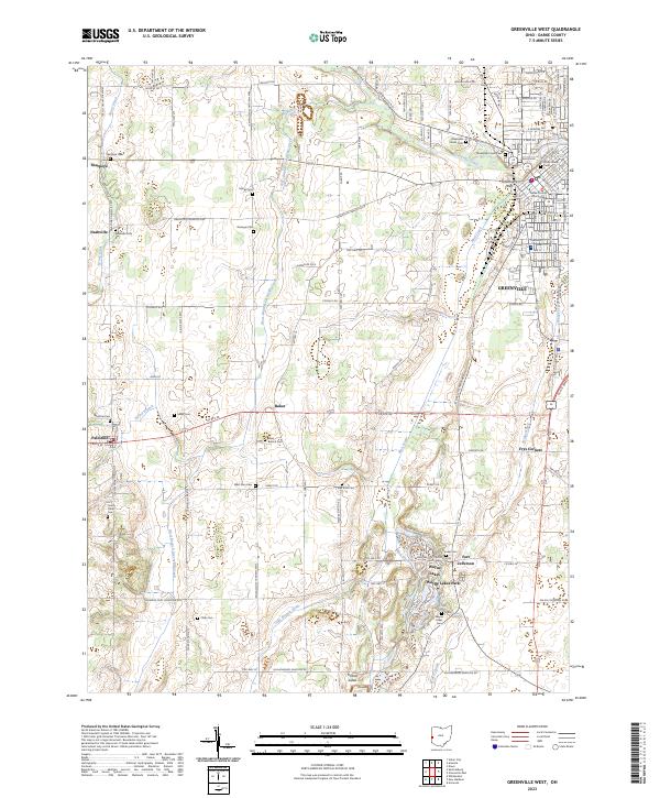 2023 Greenville West2023 Print · USGSDarke County at the western edge of Ohio reveals a landscape of established lakeside communities and historic crossroads. Genealogists can locate family burial sites at Sharpeye Cem and Heller Cem, or trace the grounds near Fort Jefferson and Wayne Lakes.
End of results
Showing maps 1-10 of 10
Top cities near Palestine
- Richmond historical maps
- Greenville historical maps
- Winchester historical maps
- Union City historical maps
- Arcanum historical maps
- Lewisburg historical maps
See more
Frequently asked questions
- What are the different types of historical maps available for Palestine?
- What is the oldest map of Palestine?
- Where can I purchase historical maps of Palestine for my home or office?
- Where can I download high-res historical maps of Palestine?
- Are there historical topographic maps available for Palestine?
- Is there historical aerial imagery available for Palestine?
- Where are historical maps of Palestine sourced from?