Old Maps of Palestine, Ohio for Metal Detecting
Plan your next treasure hunt with 19 historic maps of Palestine. Find old homesites, ghost towns, trails, and gathering spots that may be lost to time — perfect for identifying promising metal detecting locations.
- Locate forgotten sites: Uncover places like long-lost settlements, abandoned rail lines, or gathering spots.
- Plan better hunts: Use map overlays combined with LiDAR or satellite views to narrow in on historically rich areas.
- Made for detectorists: Thousands of hobbyists use these maps to discover relics, coins, and hidden history.
Use these historic maps to boost your research and find new opportunities beneath the surface of Palestine.
Palestine, OH maps
(19)- 1916 Map of Winchester
 1916 Winchester1916 Print · USGSIndiana's eastern borderlands during the height of the interurban era show a landscape of thriving rail towns and rural school districts. Genealogists can locate specific landmarks like the County Infirmary, McKinley School, and the cross-border community of Union City.3 unique versions available
 - 1918 Map of Winchester
 1918 Winchester1918 Print · USGSRandolph County sits at a crossroads of major rail lines and headwater streams during the late nineteen-teens. Genealogists can locate dozens of country schoolhouses like McKinley School and Sauerkraut School, or trace family ties in Union City and Lynn.2 unique versions available
 - 1943 Map of Winchester, 1944 Print
 1943 Winchester1944 Print · USGSThe Indiana-Ohio borderlands in the 1940s reveal a landscape of bustling rail junctions and tight-knit rural school districts. Genealogists can trace family footprints at Beech Grove Sch, the County Infirmary, or the curious Sauerkraut Sch.
 - 1953 Map of Muncie, 1966 Print
 1953 Muncie1966 Print · USGSIndiana and Ohio borderlands thrive in the early fifties, showing a landscape defined by manufacturing cities and an intensive railroad network. Genealogists can trace family roots across the Indiana-Ohio line through Muncie, Celina, and Portland via the Pennsylvania railroad.5 unique versions available
 - 1956 Map of Muncie
 1956 Muncie1956 Print · USGSEastern Indiana and western Ohio are shown at a peak of rail-driven industry in the mid-fifties. Genealogists and rail historians can trace the paths of the Pennsylvania RR through Muncie or locate landmarks like Lake Saint Marys (Grand Lake Reservoir) and Frances Slocum State Forest.
 - 1960 Map of Spartanburg, 1961 Print
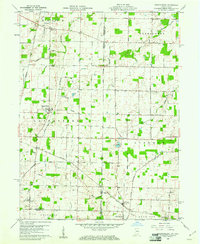 1960 Spartanburg1961 Print · USGSThe Indiana-Ohio borderlands at the start of the 1960s reveal a landscape of well-ordered farms and quiet railroad hamlets. Researchers can locate family landmarks like Beech Cemetery and Bartonia Cemetery or trace the New York Central through Crete.2 unique versions available
 - 1961 Map of Greenville West, 1962 Print
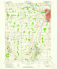 1961 Greenville West1962 Print · USGSWestern Darke County in the early sixties is captured here as a landscape of rail-connected towns and historical sites. Researchers can trace the layouts of Fort Jefferson and Palestine, find rural burial grounds like St Johns Cem, and locate the Fish Hatchery.3 unique versions available
 - 1986 Map of Piqua
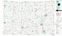 1986 Piqua1986 Print · USGSThe western Ohio and eastern Indiana borderlands appear here in the mid-1980s, showcasing a landscape of river-valley industry and fertile plains. Researchers can trace historic rail lines like Conrail and Norfolk and Western through towns like Greenville and Winchester.3 unique versions available
 - 1992 Map of Spartanburg, 1995 Print
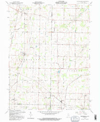 1992 Spartanburg1995 Print · USGSThe Indiana-Ohio borderlands near the close of the twentieth century remain a landscape of small farming hamlets and historic township lines. Genealogists can trace family roots through sites like Beech Ch, Clemens Cem, and the old settlement at Arba.
 - 2010 Map of Greenville West, 2010 Print
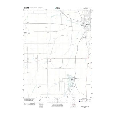 2010 Greenville West2010 Print · USGSWestern Darke County at the turn of the 21st century reveals a landscape where the city of Greenville borders an intricate network of rural cemeteries and family lands. Researchers can locate ancestral sites like Sharpeye Cemetery or trace the early paths to Weimers Mill and the Palestine Post Office.
 - 2010 Map of Spartanburg, 2010 Print
 2010 Spartanburg2010 Print · USGSThe Indiana-Ohio state line corridor comes into focus in this recent survey of Randolph and Darke Counties. Genealogists can trace family roots through numerous burial grounds like Chapel Cemetery or locate the rural crossroads of Spartanburg, Glen Karn, and Crete.
 - 2013 Map of Spartanburg, 2013 Print
 2013 Spartanburg2013 Print · USGSThe Indiana-Ohio state line passes through this agricultural region just after the turn of the millennium. Genealogists and local historians can trace the quiet crossroads of Spartanburg, Glen Karn, and Arba near the high ground of Hoosier Hill.
 - 2013 Map of Greenville West, 2013 Print
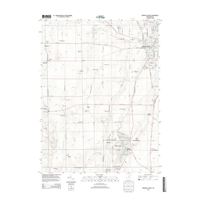 2013 Greenville West2013 Print · USGSWestern Darke County at the start of the 2010s shows a landscape deeply tied to its rural roots and historical markers. Genealogists and historians can trace numerous family-named landmarks like Welmers Mill and several community sites including Oak Grove Cem and Fort Jefferson.
 - 2016 Map of Spartanburg, 2016 Print
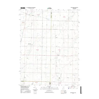 2016 Spartanburg2016 Print · USGSThe Indiana-Ohio borderlands at the edge of the twentieth century are captured here, centered on the crossroads of Spartanburg and Arba. Genealogists can trace family names through rural burial sites like Bartonia Cem and Clemens Cem.
 - 2016 Map of Greenville West, 2016 Print
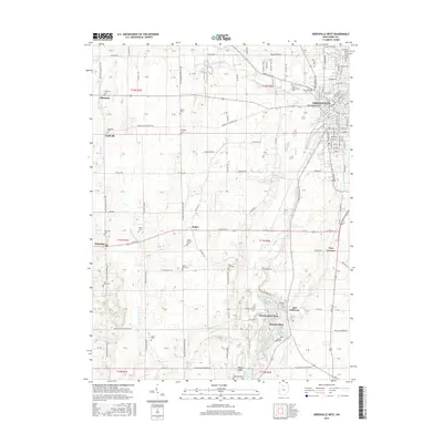 2016 Greenville West2016 Print · USGSWestern Darke County at the turn of the century shows a landscape of established farmsteads and growing residential pockets. Genealogists can locate numerous rural burial sites like West Branch Cem and family landmarks near Fort Jefferson or Nashville.
 - 2019 Map of Spartanburg, 2019 Print
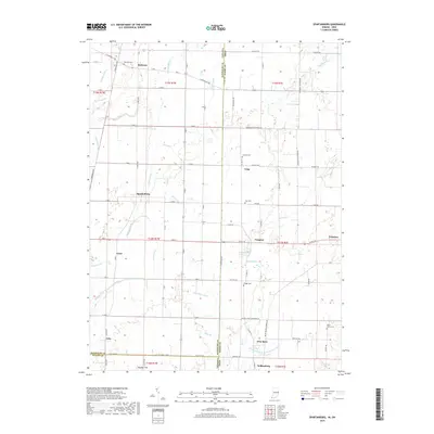 2019 Spartanburg2019 Print · USGSThe Indiana-Ohio borderlands come into focus in this recent survey of the rural landscape between Spartanburg and Hollansburg. Genealogists and local historians can trace small communities like Arba, Crete, and Palestine, or locate historic burials at Chapel Cem and Bass Cem.
 - 2019 Map of Greenville West, 2019 Print
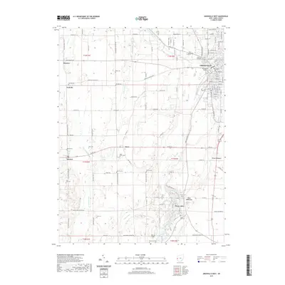 2019 Greenville West2019 Print · USGSThe Greenville area of Western Ohio is shown here in the late twenty-teens, dominated by the county seat and the surrounding farm country. Genealogists can trace family roots through numerous burial sites like Saint Johns Cem and West Zion Cem, or locate landmarks such as Tecumsehs Point.
 - 2022 Map of Spartanburg, 2022 Print
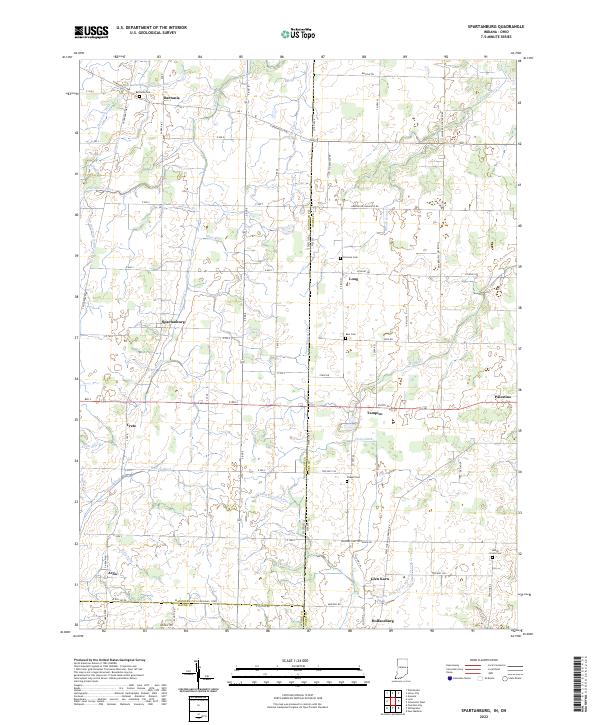 2022 Spartanburg2022 Print · USGSThe Indiana-Ohio borderlands come alive in this contemporary record of Randolph and Darke counties. Genealogists can locate family burial sites at Bartonia Cem and Clemens Cem while tracing the rural hamlets of Spartanburg, Arba, and Palestine.
 - 2023 Map of Greenville West, 2023 Print
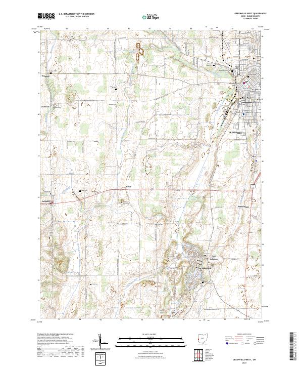 2023 Greenville West2023 Print · USGSDarke County at the western edge of Ohio reveals a landscape of established lakeside communities and historic crossroads. Genealogists can locate family burial sites at Sharpeye Cem and Heller Cem, or trace the grounds near Fort Jefferson and Wayne Lakes.
End of results
Showing maps 1-19 of 19
Top cities near Palestine
- Richmond historical maps
- Greenville historical maps
- Winchester historical maps
- Union City historical maps
- Arcanum historical maps
- Lewisburg historical maps
See more
Frequently asked questions
- What are the different types of historical maps available for Palestine?
- What is the oldest map of Palestine?
- Where can I purchase historical maps of Palestine for my home or office?
- Where can I download high-res historical maps of Palestine?
- Are there historical topographic maps available for Palestine?
- Is there historical aerial imagery available for Palestine?
- Where are historical maps of Palestine sourced from?