Old Maps of Savona, Ohio for Metal Detecting
Plan your next treasure hunt with 9 historic maps of Savona. Find old homesites, ghost towns, trails, and gathering spots that may be lost to time — perfect for identifying promising metal detecting locations.
- Locate forgotten sites: Uncover places like long-lost settlements, abandoned rail lines, or gathering spots.
- Plan better hunts: Use map overlays combined with LiDAR or satellite views to narrow in on historically rich areas.
- Made for detectorists: Thousands of hobbyists use these maps to discover relics, coins, and hidden history.
Use these historic maps to boost your research and find new opportunities beneath the surface of Savona.
Savona, OH maps
(9)- 1953 Map of Cincinnati, 1965 Print
 1953 Cincinnati1965 Print · USGSThe Ohio River valley and the industrial heartland of Indiana and Ohio are captured here during the mid-century peak of rail and river commerce. Genealogists and historians can trace connections between Cincinnati and outlying military sites like Camp Atterbury and Bakalar AFB.3 unique versions available
 - 1957 Map of Cincinnati
 1957 Cincinnati1957 Print · USGSThe Ohio River valley and its surrounding highlands thrived during the mid-fifties industrial peak, centered on the bustling Cincinnati and Dayton metropolitan hubs. Researchers can trace the extensive rail networks and military sites like Wright-Patterson AFB and Camp Atterbury.
 - 1960 Map of New Madison, 1961 Print
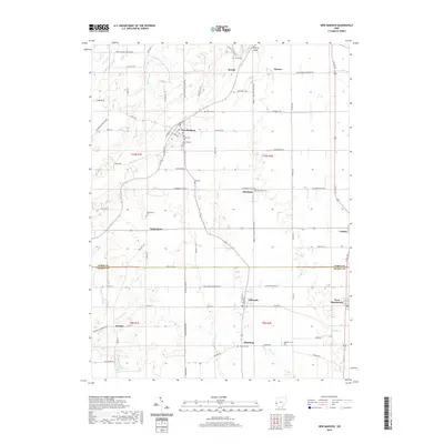
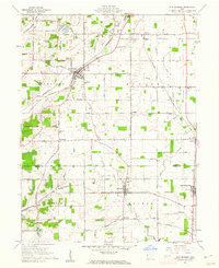 1960 New Madison1961 Print · USGSWestern Darke County was a busy intersection of rail and agriculture in the early sixties. Genealogists and local historians can trace family land via New Madison, locate the Township Sch, or find ancestors at Greenmound Cem and Otterbine Cem.3 unique versions available
 - 1986 Map of Dayton
 1986 Dayton1986 Print · USGSThe Miami Valley and the Indiana-Ohio borderlands reached a peak of suburban and industrial connectivity in the mid-eighties. Genealogists and historians can trace family burial sites at Miami Memorial Garden (Cem) and the development surrounding Wright-Patterson Air Force Base.2 unique versions available
 - 2010 Map of New Madison, 2010 Print
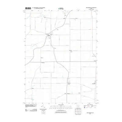 2010 New Madison2010 Print · USGSCovers Savona, including New Madison, Eldorado, and other nearby areas
 - 2013 Map of New Madison, 2013 Print
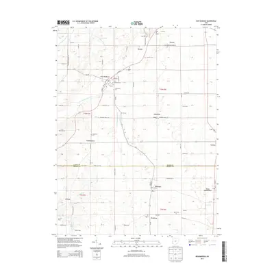 2013 New Madison2013 Print · USGSCovers Savona, including New Madison, Eldorado, and other nearby areas
 - 2016 Map of New Madison, 2016 Print
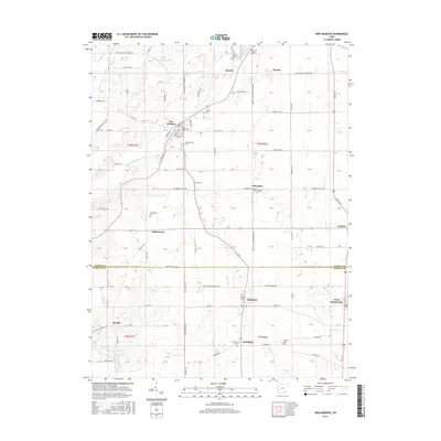 2016 New Madison2016 Print · USGSCovers Savona, including New Madison, Eldorado, and other nearby areas
 - 2019 Map of New Madison, 2019 Print
 2019 New Madison2019 Print · USGSCovers Savona, including New Madison, Eldorado, and other nearby areas
 - 2023 Map of New Madison, 2023 Print
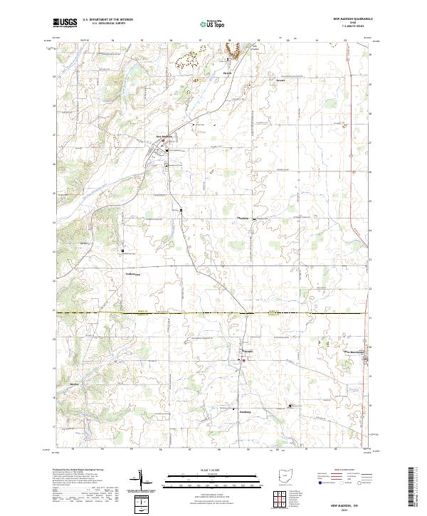 2023 New Madison2023 Print · USGSThe Darke and Preble County line divides this western Ohio landscape during the early 2020s. Researchers can locate numerous local burial sites like Greenmound Cem and Monroe Cem or trace the East Fork Whitewater River near New Madison.
End of results
Showing maps 1-9 of 9
Top cities near Savona
- Richmond historical maps
- Greenville historical maps
- Eaton historical maps
- Brookville historical maps
- Union City historical maps
- Versailles historical maps
See more
Frequently asked questions
- What are the different types of historical maps available for Savona?
- What is the oldest map of Savona?
- Where can I purchase historical maps of Savona for my home or office?
- Where can I download high-res historical maps of Savona?
- Are there historical topographic maps available for Savona?
- Is there historical aerial imagery available for Savona?
- Where are historical maps of Savona sourced from?