2000s (21st Century) Maps of Orange Township, Ohio
Explore 10 historic maps of Orange Township from the 2000s (21st Century). These maps offer a rare glimpse into what life looked like during the 2000s — showing old roads, neighborhoods, homes, and landmarks that have changed or disappeared over time.
Whether you're researching your family's past, planning a metal detecting trip, or studying how Orange Township's landscape evolved across the 2000s, these high-resolution maps are a powerful tool for exploring the history of this region.
- Focus on a specific era: All maps on this page are from the 2000s, giving you a focused view of this time period.
- See what’s changed: Compare century-old streets, trails, and buildings to today's modern landscape using overlays and satellite layers.
- Research with precision: Use these maps for genealogy, historical research, land use analysis, or educational projects.
- View, download, or print: Maps are fully viewable online in high resolution, and can be downloaded or printed for your own records.
Start exploring Orange Township's history through authentic maps from the 2000s. This is your window into the past.
Orange Township, OH maps
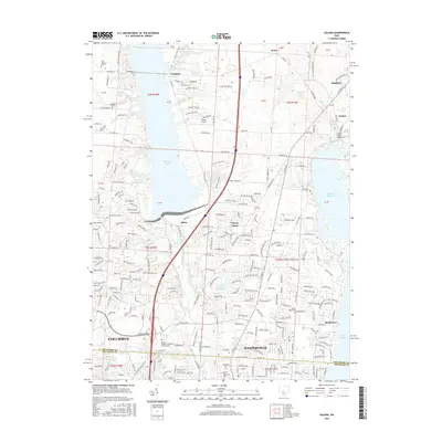
(10)- 2010 Map of Powell, 2010 Print
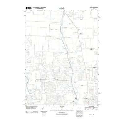 2010 Powell2010 Print · USGSCovers Orange Township, including Columbus, Dublin, and other nearby areas
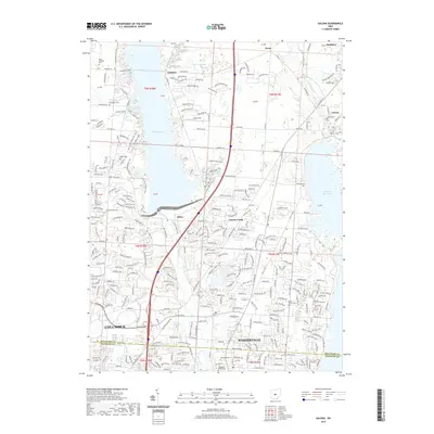
 - 2010 Map of Galena, 2010 Print
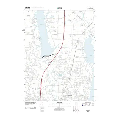 2010 Galena2010 Print · USGSCovers Orange Township, including Columbus, Westerville, and other nearby areas
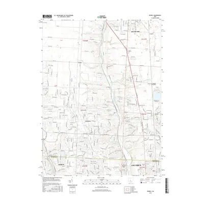
 - 2013 Map of Powell, 2013 Print
 2013 Powell2013 Print · USGSCovers Orange Township, including Columbus, Dublin, and other nearby areas
 - 2013 Map of Galena, 2013 Print
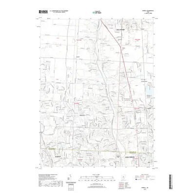
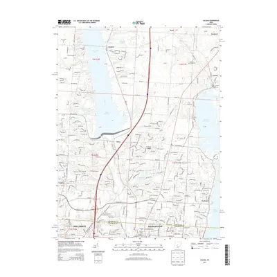 2013 Galena2013 Print · USGSCovers Orange Township, including Columbus, Westerville, and other nearby areas
 - 2016 Map of Powell, 2016 Print
 2016 Powell2016 Print · USGSCovers Orange Township, including Columbus, Dublin, and other nearby areas
 - 2016 Map of Galena, 2016 Print
 2016 Galena2016 Print · USGSCovers Orange Township, including Columbus, Westerville, and other nearby areas
 - 2019 Map of Galena, 2019 Print
 2019 Galena2019 Print · USGSCovers Orange Township, including Columbus, Westerville, and other nearby areas
 - 2019 Map of Powell, 2019 Print
 2019 Powell2019 Print · USGSCovers Orange Township, including Columbus, Dublin, and other nearby areas
 - 2023 Map of Powell, 2023 Print
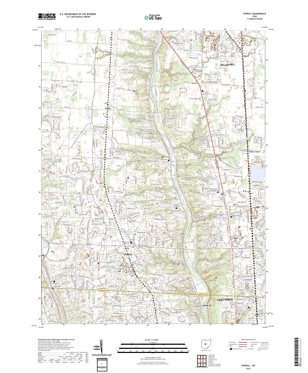 2023 Powell2023 Print · USGSDelaware and Franklin Counties are captured in this modern survey as the Columbus metro area moves northward. Genealogists can locate family-named landmarks like Cole Cem, Thomas Cem, and the old settlement of Hyatts.
 - 2023 Map of Galena, 2023 Print
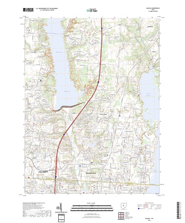 2023 Galena2023 Print · USGSDelaware County is captured here at a moment of significant suburban expansion north of the state capital. Genealogists can locate family sites at New Cheshire Cem or Peachblow Cem, while tracing the campuses of Otterbein University.
End of results
Showing maps 1-10 of 10
Top cities near Orange Township
- Columbus historical maps
- Dublin historical maps
- Delaware historical maps
- Westerville historical maps
- Hilliard historical maps
- Upper Arlington historical maps
See more
Top neighborhoods of Orange Township
Frequently asked questions
- What are the different types of historical maps available for Orange Township?
- What is the oldest map of Orange Township?
- Where can I purchase historical maps of Orange Township for my home or office?
- Where can I download high-res historical maps of Orange Township?
- Are there historical topographic maps available for Orange Township?
- Is there historical aerial imagery available for Orange Township?
- Where are historical maps of Orange Township sourced from?