Old Maps of Oxford Township, Ohio for Academic Research
Study the evolution of Oxford Township with 35 high-resolution historic maps. Whether you're teaching, researching, or modeling changes in land use, these maps provide essential visual documentation of urban, environmental, and geographic change.
- Analyze long-term change: Track patterns in development, transportation, and natural features.
- Ideal for environmental or urban studies: Support academic projects with primary historical map data.
- Use in the classroom or lab: Educators and researchers rely on these maps to bring historical context to life.
These maps are a powerful tool for teaching, research, and visualizing how Oxford Township has changed over the decades.
Oxford Township, OH maps
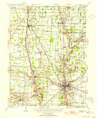
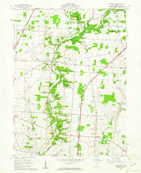
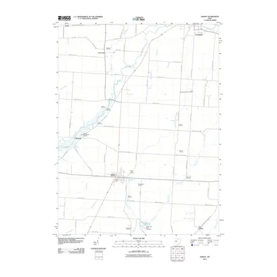
(35)- 1915 Map of Marengo, 1946 Print
 1915 Marengo1946 Print · USGSMorrow and Delaware counties are shown in detail during the heyday of the steam railroad and the one-room schoolhouse. Genealogists and historians can locate vanished local landmarks like Swamp Angel School, the County Infirmary, and the Treaty Line.
 - 1924 Map of Delaware, 1954 Print
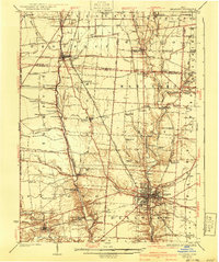
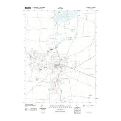
 1924 Delaware1954 Print · USGSDelaware and its surrounding townships thrive in the mid-twenties as vital rail and river hubs. Researchers can trace the heritage of rural communities through dozens of local landmarks like Cherry Ridge School, Bethlehem Church, and Warrensburg.
 - 1925 Map of Delaware, 1940 Print
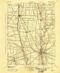
 1925 Delaware1940 Print · USGSCentral Ohio in the mid-1920s is defined by its vibrant river valleys and shifting rail corridors. Genealogists can trace family roots through numerous country schools like Schoor School, rural parishes such as St James Church, and early settlements like Ostrander and Radnor.
 - 1943 Map of Marengo
 1943 Marengo1943 Print · USGSCentral Ohio's agricultural heartland is documented here during the early war years, showing a landscape defined by small-town rail hubs and a dense network of rural schoolhouses. Researchers can trace family history through dozens of named sites like Chestnut Grove Sch, the County Infirmary, and settlements such as Westfield and Fulton.
 - 1944 Map of Delaware
 1944 Delaware1944 Print · USGSCentral Ohio during the Second World War shows a landscape of busy rail corridors and small crossroads settlements along the Scioto River. Genealogists can trace family roots through numerous country schools like Drumm Sch and landmarks such as Newhouse Cemetery.
 - 1950 Map of Marion
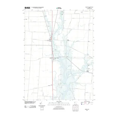
 1950 Marion1950 Print · USGSCentral Ohio was a powerhouse of rail and river industry at the mid-century point, serving as a vital corridor between the Great Lakes and the Ohio River valley. Genealogists and rail historians can trace the paths of the Erie RR and Nickel Plate Road through towns like Bucyrus, Galion, and Upper Sandusky.
 - 1960 Map of Delaware, 1962 Print
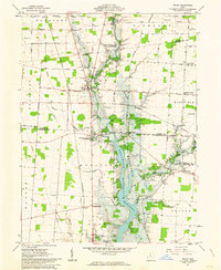
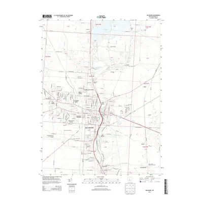
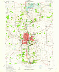 1960 Delaware1962 Print · USGSDelaware is shown in the early sixties as a thriving university town and rail hub along the Olentangy River. Genealogists and historians can trace Ohio Wesleyan University, Oak Grove Cemetery, and the settlement at Stratford.3 unique versions available
 - 1961 Map of Kilbourne, 1962 Print
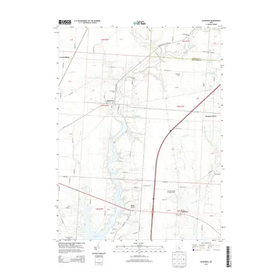
 1961 Kilbourne1962 Print · USGSDelaware and Morrow counties are shown here in the early sixties as a network of rural townships and winding creek valleys. Genealogists can locate family landmarks like Old Kilbourne Cem, Stantontown Cem, and the old County Home.4 unique versions available
 - 1961 Map of Waldo, 1963 Print
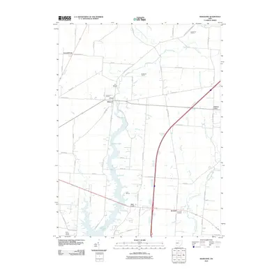
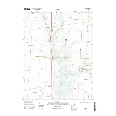
 1961 Waldo1963 Print · USGSCentral Ohio during the early sixties shows a landscape in transition as the Delaware Reservoir expands through the river valleys. Genealogists can trace family footprints through numerous small burial sites like Drake Cem and Wyatt Cem or locate old community hubs at Mayfield Corners and Grange Hall.5 unique versions available
 - 1961 Map of Ashley, 1963 Print
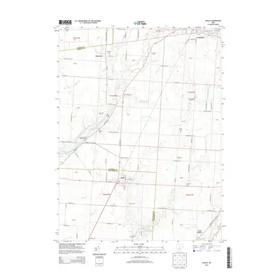
 1961 Ashley1963 Print · USGSThe village of Ashley and its surrounding farmsteads are documented here in the early sixties, highlighting a landscape shaped by historical treaty lines and rail travel. Researchers can trace family burial sites at Ashley Union Cem and Morehouse Cem or locate the old New York Central railroad corridor.2 unique versions available
 - 1962 Map of Marion
 1962 Marion1962 Print · USGSCentral Ohio during the post-war era showcases a dense network of railroad towns and emerging interstate highways. Genealogists can trace family roots in smaller settlements like Houcktown and Marseilles or locate landmarks near Indian Lake.
 - 1966 Map of Marion, 1968 Print
 1966 Marion1968 Print · USGSCentral Ohio in the mid-sixties is captured during a period of rapid highway expansion and industrial connectivity. Genealogists and historians can trace rail-and-river networks through towns like Marion, Urbana, and Mount Vernon, or locate landmarks such as Malabar Farm and Black Hand Rock.3 unique versions available
 - 1986 Map of Bellefontaine
 1986 Bellefontaine1986 Print · USGSWest Central Ohio in the mid-1980s reveals a landscape of growing metropolitan fringes and established rural centers. Researchers can trace historic cemeteries and civic institutions from Oak Grove Cem to the State Reformatory For Women and Cedar Bog State Nature Preserve.
 - 1992 Map of Bellefontaine
 1992 Bellefontaine1992 Print · USGSWest-central Ohio in the early nineties reveals a blend of high-plateau geography and growing suburban corridors near the state capital. Genealogists can trace family connections to landmarks like Mount Tabor Church, Oak Grove Cemetery, and the high ground of Campbell Hill.
 - 1995 Map of Ashley, 1999 Print
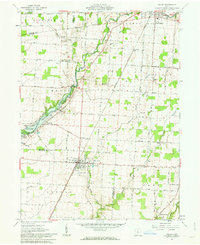
 1995 Ashley1999 Print · USGSCentral Ohio's rural borderlands between Delaware and Morrow Counties are captured here in the late twentieth century. Researchers can trace family history through numerous landmarks like Ashley Union Cem, St Johns Ch, and the Richardson Airport.
 - 2010 Map of Ashley, 2010 Print
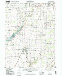
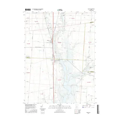
 2010 Ashley2010 Print · USGSCovers Oxford Township, including Cardington, Westfield, and other nearby areas
 - 2010 Map of Waldo, 2010 Print
 2010 Waldo2010 Print · USGSCovers Oxford Township, including Waldo, Pleasant Township, and other nearby areas
 - 2010 Map of Delaware, 2010 Print
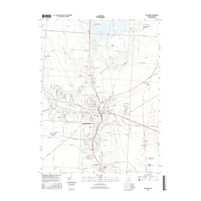
 2010 Delaware2010 Print · USGSCovers Oxford Township, including Delaware, Delaware Township, and other nearby areas
 - 2010 Map of Kilbourne, 2010 Print
 2010 Kilbourne2010 Print · USGSCovers Oxford Township, including Berkshire, Sunbury, and other nearby areas
 - 2013 Map of Waldo, 2013 Print
 2013 Waldo2013 Print · USGSCovers Oxford Township, including Waldo, Pleasant Township, and other nearby areas
 - 2013 Map of Delaware, 2013 Print
 2013 Delaware2013 Print · USGSCovers Oxford Township, including Delaware, Delaware Township, and other nearby areas
 - 2013 Map of Ashley, 2013 Print
 2013 Ashley2013 Print · USGSCovers Oxford Township, including Cardington, Westfield, and other nearby areas
 - 2013 Map of Kilbourne, 2013 Print
 2013 Kilbourne2013 Print · USGSCovers Oxford Township, including Berkshire, Sunbury, and other nearby areas
 - 2016 Map of Waldo, 2016 Print
 2016 Waldo2016 Print · USGSCovers Oxford Township, including Waldo, Pleasant Township, and other nearby areas
 - 2016 Map of Delaware, 2016 Print
 2016 Delaware2016 Print · USGSCovers Oxford Township, including Delaware, Delaware Township, and other nearby areas
Showing maps 1-25 of 35
Top cities near Oxford Township
- Delaware historical maps
- Marion historical maps
- Powell historical maps
- Jerome historical maps
- Scioto historical maps
- Berkshire historical maps
See more
Top neighborhoods of Oxford Township
Frequently asked questions
- What are the different types of historical maps available for Oxford Township?
- What is the oldest map of Oxford Township?
- Where can I purchase historical maps of Oxford Township for my home or office?
- Where can I download high-res historical maps of Oxford Township?
- Are there historical topographic maps available for Oxford Township?
- Is there historical aerial imagery available for Oxford Township?
- Where are historical maps of Oxford Township sourced from?