Old Maps of Berlin Township, Ohio for Hiking & Exploration
Hike through history with 33 historic maps of Berlin Township. Explore old trails, ghost towns, and forgotten backroads — perfect for outdoor adventurers and local explorers.
- Rediscover forgotten places: Map out old mining camps, roads, and footpaths that no longer exist on modern maps.
- Layer with modern tools: Combine with LiDAR or satellite views to plan hikes through historical terrain.
- Made for exploration: Popular among hikers, overlanders, and local history lovers.
Use these maps to find adventure and explore the hidden past of Berlin Township.
Berlin Township, OH maps
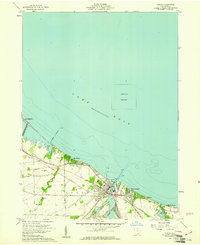
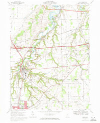
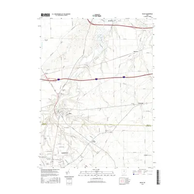
(33)- 1903 Map of Vermilion, 1932 Print
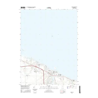
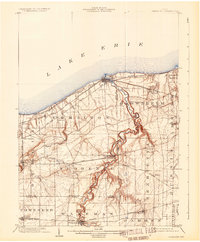 1903 Vermilion1932 Print · USGSThe Lake Erie shoreline in the early twentieth century served as a vital transit hub where rail lines and electric cars converged on the coast. Genealogists and local historians can trace the early layouts of Vermilion, Wakeman, and Birmingham, or locate the specific placement of the Quarry and numerous creek-side homesteads.2 unique versions available
 - 1904 Map of Sandusky, 1941 Print
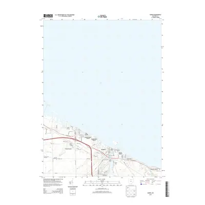
 1904 Sandusky1941 Print · USGSThe Lake Erie shoreline at the turn of the century shows a bustling rail-and-port economy centered on Sandusky and the Huron River. Researchers can trace early infrastructure like the Electric Line and vanished landmarks such as the State Soldiers Home.3 unique versions available
 - 1956 Map of Toledo, 1968 Print
 1956 Toledo1968 Print · USGSNorthwest Ohio and the Lake Erie shoreline are shown in detail during the late fifties, showcasing a landscape of heavy industry, railroads, and island communities. Genealogists and historians can trace rail networks like the Chesapeake & Ohio RR or locate landmarks such as the Erie Proving Ground and Kelleys Island.4 unique versions available
 - 1959 Map of Milan, 1960 Print
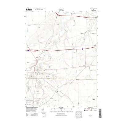
 1959 Milan1960 Print · USGSMilan and the surrounding Erie County townships are captured here in the late fifties, just as the turnpike began to reshape the rural landscape. Researchers can trace family history through numerous landmarks like Scotts Cem or locate old rail stops along the New York Central and New York Chicago and St Louis lines.
 - 1959 Map of Berlin Heights, 1960 Print
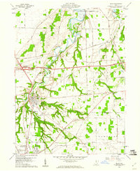
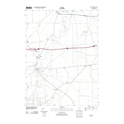
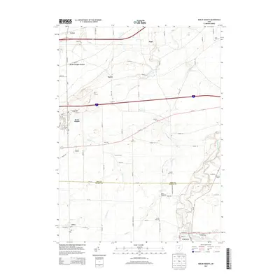
 1959 Berlin Heights1960 Print · USGSNorth-central Ohio is captured in the late fifties, showing the interplay between the new Ohio Turnpike and historic farm-to-market rail lines. Local historians can trace family roots through numerous burial sites like Maple Grove Cem and Poyers Cem or locate old schoolhouse sites like Townsend Sch.2 unique versions available
 - 1959 Map of Vermilion West, 1960 Print
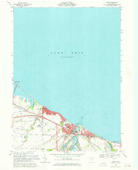
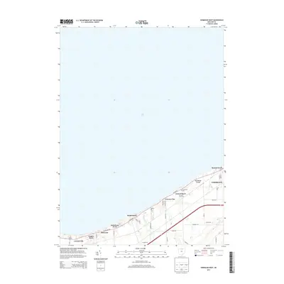
 1959 Vermilion West1960 Print · USGSCoastal Erie County comes alive in this late fifties study of the lakefront's shifting character between industrial rail lines and seasonal resorts. Researchers can trace family-named roads like Poorman Road alongside established beach communities like Mitiwanga and Orchard Beach.
 - 1959 Map of Huron, 1961 Print
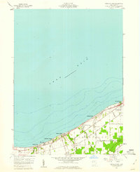
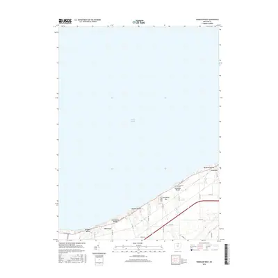
 1959 Huron1961 Print · USGSThe shoreline of Lake Erie in the late fifties was a stretch of evolving lakeside communities and industrial rail activity. Genealogists and historians can trace the early layouts of Rye Beach, Chaska Beach, and Huron, alongside the busy New York Central rail lines.
 - 1961 Map of Toledo
 1961 Toledo1961 Print · USGSThe western basin of Lake Erie and the industrial heart of Northern Ohio are captured here during the post-war era. Researchers can trace historical rail lines like the New York Central or locate landmarks like the Erie Ordnance Depot and Pelee Island.
 - 1969 Map of Huron, 1971 Print
 1969 Huron1971 Print · USGSHuron and the Erie county coast are shown here in the late sixties as the lakefront transitioned from industrial rail hub to an expanding college town. Genealogists and researchers can trace the growth of Huron and Oberlin Beach, locating landmarks like Restlawn Memorial Park and the Fireland Campus.3 unique versions available
 - 1969 Map of Vermilion West, 1971 Print
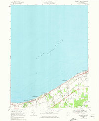 1969 Vermilion West1971 Print · USGSLake Erie's southern shore in the late sixties is lined with distinct beach communities and vital rail corridors. Genealogists and local historians can trace the development of Vermilion and summer colonies like Ruggles Beach, Heidelberg Beach, and Bluebird Beach.2 unique versions available
 - 1969 Map of Berlin Heights, 1971 Print
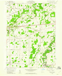
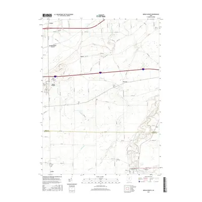
 1969 Berlin Heights1971 Print · USGSThe Firelands region of northern Ohio is captured here in the late sixties as agricultural roots met the burgeoning interstate era. Researchers can trace local lineage through Peakes Cem, follow the rail lines at Berlin Heights Station, or locate the Townsend Sch.3 unique versions available
 - 1969 Map of Milan, 1971 Print
 1969 Milan1971 Print · USGSSettled along the winding Huron River in the late 1960s, this portion of Erie and Huron Counties shows a landscape defined by river valleys and rail lines. Researchers can find Scotts Cemetery, the Friends Church, and old stops at Shinrock and Avery.2 unique versions available
 - 1986 Map of Lorain
 1986 Lorain1986 Print · USGSThe Lake Erie shoreline and North Central Ohio interior are shown in detail during the mid-eighties, from the industrial docks of Lorain to the peninsulas of Sandusky. Researchers can trace historic transport routes like the Baltimore and Ohio Railroad or locate significant landmarks like Oberlin College and Cedar Point.2 unique versions available
 - 2010 Map of Huron, 2010 Print
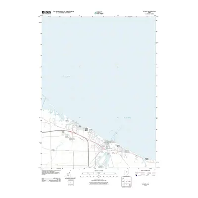 2010 Huron2010 Print · USGSCovers Berlin Township, including Sandusky, Anderson, and other nearby areas
 - 2010 Map of Vermilion West, 2010 Print
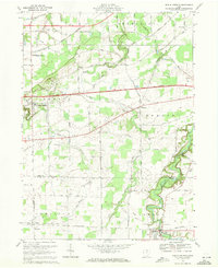
 2010 Vermilion West2010 Print · USGSCovers Berlin Township, including Vermilion, Ruggles Beach, and other nearby areas
 - 2010 Map of Berlin Heights, 2010 Print
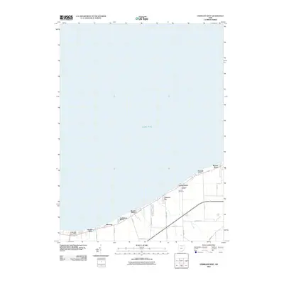
 2010 Berlin Heights2010 Print · USGSCovers Berlin Township, including Florence, Wakeman, and other nearby areas
 - 2010 Map of Milan, 2010 Print
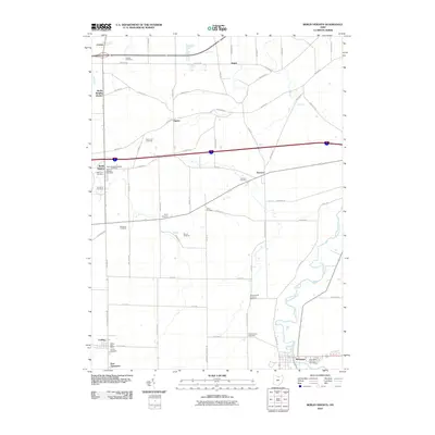
 2010 Milan2010 Print · USGSCovers Berlin Township, including Norwalk, Milan, and other nearby areas
 - 2013 Map of Milan, 2013 Print
 2013 Milan2013 Print · USGSCovers Berlin Township, including Norwalk, Milan, and other nearby areas
 - 2013 Map of Huron, 2013 Print
 2013 Huron2013 Print · USGSCovers Berlin Township, including Sandusky, Anderson, and other nearby areas
 - 2013 Map of Vermilion West, 2013 Print
 2013 Vermilion West2013 Print · USGSCovers Berlin Township, including Vermilion, Ruggles Beach, and other nearby areas
 - 2013 Map of Berlin Heights, 2013 Print
 2013 Berlin Heights2013 Print · USGSCovers Berlin Township, including Florence, Wakeman, and other nearby areas
 - 2016 Map of Berlin Heights, 2016 Print
 2016 Berlin Heights2016 Print · USGSCovers Berlin Township, including Florence, Wakeman, and other nearby areas
 - 2016 Map of Vermilion West, 2016 Print
 2016 Vermilion West2016 Print · USGSCovers Berlin Township, including Vermilion, Ruggles Beach, and other nearby areas
 - 2016 Map of Huron, 2016 Print
 2016 Huron2016 Print · USGSCovers Berlin Township, including Sandusky, Anderson, and other nearby areas
 - 2016 Map of Milan, 2016 Print
 2016 Milan2016 Print · USGSCovers Berlin Township, including Norwalk, Milan, and other nearby areas
Showing maps 1-25 of 33
Top cities near Berlin Township
- Lorain historical maps
- Sandusky historical maps
- Norwalk historical maps
- Vermilion historical maps
- Milan historical maps
- Florence historical maps
See more
Top neighborhoods of Berlin Township
- Berlin Heights Station historical maps
- Oberlin Beach historical maps
- Berlinville historical maps
- Ceylon historical maps
- Ogontz historical maps
- Ruggles Beach historical maps
See more
Frequently asked questions
- What are the different types of historical maps available for Berlin Township?
- What is the oldest map of Berlin Township?
- Where can I purchase historical maps of Berlin Township for my home or office?
- Where can I download high-res historical maps of Berlin Township?
- Are there historical topographic maps available for Berlin Township?
- Is there historical aerial imagery available for Berlin Township?
- Where are historical maps of Berlin Township sourced from?