Old Maps of Liberty Township, Ohio for Genealogy
Trace your family roots with 32 historic maps of Liberty Township. These high-res maps reveal old neighborhoods, homesites, landmarks, and streets — helping you uncover where your ancestors lived and how the area evolved over time.
- Explore historic neighborhoods: Identify where your relatives may have lived in the 1800s or 1900s.
- Compare maps over time: Trace the changes in streets, buildings, and landmarks for multi-generational research.
- Perfect for genealogy & ancestry research: Used by family historians and researchers to map out lineage and migration.
These maps are an incredible resource for exploring your personal connection to Liberty Township's past.
Liberty Township, OH maps
(32)- 1907 Map of Thurston, 1960 Print
 1907 Thurston1960 Print · USGSFairfield and Licking counties at the turn of the century are shown here as a bustling landscape of rail junctions and early canal segments. Researchers can trace family roots at New Zion Church, locate the Baltimore Campground, or follow the Hocking Canal near Lockville.
 - 1909 Map of Thurston, 1946 Print
 1909 Thurston1946 Print · USGSCentral Ohio at the start of the twentieth century was a landscape of bustling rail junctions and lakeside retreats. Trace the vanished canal ways and historic rail stops like Lockville, find family landmarks such as Ritter School, or explore the early layout of BUCKEYE LAKE.
 - 1947 Map of Columbus, 1948 Print
 1947 Columbus1948 Print · USGSCentral Ohio in the late 1940s is captured in this survey, showing the post-war transition of its rail hubs and military airfield expansions. Genealogists and historians can trace the paths of the Ohio Canal, the Pennsylvania RR lines, and the Camp Sherman Military Reservation.
 - 1958 Map of Carroll, 1959 Print
 1958 Carroll1959 Print · USGSFairfield County's transportation corridors are frozen in time here, showing the late-1950s transition from rail reliance to modern infrastructure. Researchers can trace family roots at Wildermuth Memorial Ch and Beery Cem or explore the old canal village of Lockville.4 unique versions available
 - 1958 Map of Pataskala, 1959 Print
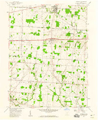 1958 Pataskala1959 Print · USGSPataskala and Pickerington are shown here in the late fifties, during a period of transition along the National Road. Genealogists can locate family landmarks such as Union Cem, Mt Zion Ch, and the small settlement of Wagram.4 unique versions available
 - 1961 Map of Columbus
 1961 Columbus1961 Print · USGSCentral and Southern Ohio are captured here in the early sixties, as the region's industrial rail hubs and military bases reached their peak. Genealogists and historians can trace the transition from urban Columbus to rural townships along the Scioto River, locating Lockbourne USAF and old junctions like Washington Court House.
 - 1961 Map of Millersport, 1962 Print
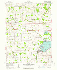 1961 Millersport1962 Print · USGSCentral Ohio in the early sixties is captured here at the intersection of early canal history and mid-century recreation. Trace the path of the OHIO CANAL (ABANDONED) near Millersport or locate family roots at Refugee Cem and Fletcher Chapel.3 unique versions available
 - 1961 Map of Baltimore, 1962 Print
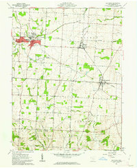 1961 Baltimore1962 Print · USGSFairfield County in the early sixties remains a landscape of rail-connected villages and legacy waterways. Genealogists can trace family lines through Hampson Cem and Union Cem, or follow the Ohio Canal (Abandoned) past Thurston.4 unique versions available
 - 1962 Map of Columbus
 1962 Columbus1962 Print · USGSCentral Ohio during the early sixties reveals a transition from the industrial corridors of Columbus to the forested ridges of the south. Genealogists and historians can trace the rail networks of the Baltimore & Ohio RR and find local landmarks like Washington Court House and Camp Sherman Military Reservation.
 - 1967 Map of Columbus, 1969 Print
 1967 Columbus1969 Print · USGSCentral Ohio during the late sixties serves as a vital corridor of rail and aviation, from the industrial streets of Springfield to the hangar lines of Lockbourne Air Force Base. Genealogists and researchers can trace the growth of towns like Circleville and London or locate rural landmarks such as St Paul church and the London Correctional Institution.2 unique versions available
 - 1984 Map of Lancaster, 1985 Print
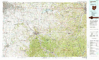 1984 Lancaster1985 Print · USGSCentral Ohio and the Hocking Valley come into focus during the mid-eighties as suburban growth meets the wooded ridges of the southeast. Researchers can trace transportation networks through Buckeye Lake or locate landmarks like Flint Ridge State Memorial and Moxahala Park.
 - 1992 Map of Pataskala, 1995 Print
 1992 Pataskala1995 Print · USGSLicking and Fairfield counties are shown during a period of suburban expansion in the early nineties, centered on the historic Refugee Tract. Genealogists can trace family connections at Mt Zion Ch, Wagram, and the Union Cem along the old National Road.
 - 2010 Map of Millersport, 2010 Print
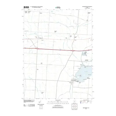 2010 Millersport2010 Print · USGSCentral Ohio's lakefront and rural landscapes are well-documented here during a period of modern development. Genealogists and local historians can trace family locations near Kirkersville Cemetery, the Hebron State Fish Hatchery, and Liebs Island.
 - 2010 Map of Baltimore, 2010 Print
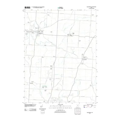 2010 Baltimore2010 Print · USGSFairfield County, Ohio, is captured here in the early 2000s, showing a well-established rural landscape centered on the village of Baltimore. Genealogists and local historians can trace scores of burial sites, including Old Basil Cemetery, New Basil Cemetery, and Old Saint Peters Cemetery.
 - 2010 Map of Pataskala, 2010 Print
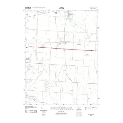 2010 Pataskala2010 Print · USGSThe Licking County suburbs east of Columbus are captured here in 2010 during a period of modern expansion. Genealogists can trace family names through numerous burial sites including Mount Zion Cemetery and Mount Olive Cemetery or locate the old Etna Post Office.
 - 2010 Map of Carroll, 2010 Print
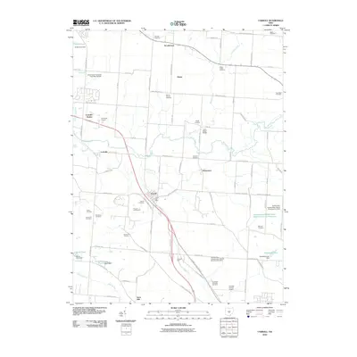 2010 Carroll2010 Print · USGSFairfield County at the turn of the 21st century remains a landscape of established crossroads and family orchards. Genealogists and local historians can trace the foundations of Carroll, Lockville, and Havensport alongside numerous family burial grounds like Baugher Cemetery.
 - 2013 Map of Baltimore, 2013 Print
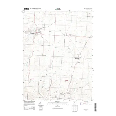 2013 Baltimore2013 Print · USGSFairfield County towns like Baltimore and Pleasantville are shown here as they appeared in the early twenty-first century. Genealogists can trace family heritage across more than a dozen local sites, including Old Sch Baptist Cem and New Saint Peters Cem.
 - 2013 Map of Millersport, 2013 Print
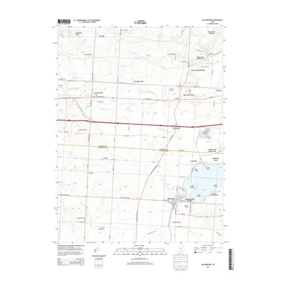 2013 Millersport2013 Print · USGSLicking and Fairfield counties are captured in this modern survey of the Buckeye Lake region. Genealogists and local researchers can trace family landmarks and burial sites like Kirkersville Cem, Luray Cem, and the Hebron State Fish Hatchery.
 - 2013 Map of Carroll, 2013 Print
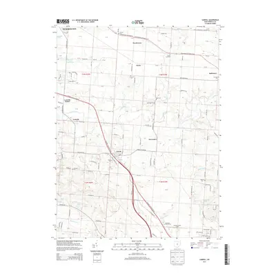 2013 Carroll2013 Print · USGSThe Fairfield County countryside south of Columbus shows a well-preserved landscape of township sections and rural villages during the early twenty-first century. Genealogists and local historians can trace family ties at Betzer Cem, Fairchild Cem, and the old rail siding at Lockville Station.
 - 2013 Map of Pataskala, 2013 Print
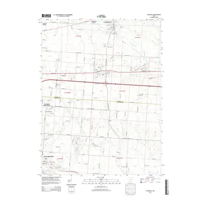 2013 Pataskala2013 Print · USGSThis central Ohio corridor transitioned between rural tradition and suburban growth in the early 2000s. Researchers can trace family sites through numerous burial grounds like Mt Zion Cem and Pike Cem, or locate landmarks in Etna and Summit Station.
 - 2016 Map of Baltimore, 2016 Print
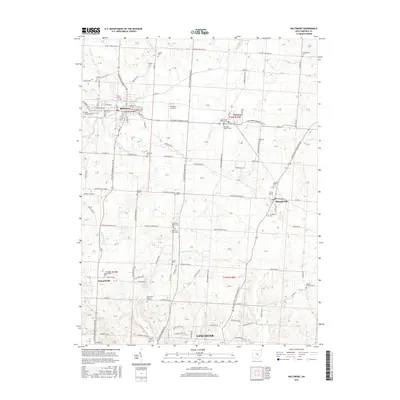 2016 Baltimore2016 Print · USGSFairfield County towns like Baltimore and Pleasantville are captured here in the mid-2010s, showing a mix of established village centers and rural cemetery sites. Genealogists can locate family landmarks such as Gehegan-Old Baltimore Cem, Kumler Cem, and the Dumontsville Cem.
 - 2016 Map of Carroll, 2016 Print
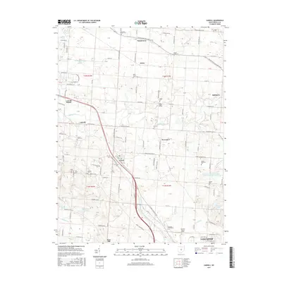 2016 Carroll2016 Print · USGSFairfield County's rural heartland is captured here in the mid-2010s, showcasing the agricultural communities north of Lancaster. Researchers can locate numerous family burial grounds like Fairchild Cem and historic landmarks such as the John Bright Bridge.
 - 2016 Map of Pataskala, 2016 Print
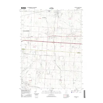 2016 Pataskala2016 Print · USGSPataskala and Reynoldsburg are captured here during a period of modern growth along the Licking and Fairfield county line. Genealogists can trace family sites at Mount Zion Cem, Etna Cem, and the uniquely named Looker James Rice Cem.
 - 2016 Map of Millersport, 2016 Print
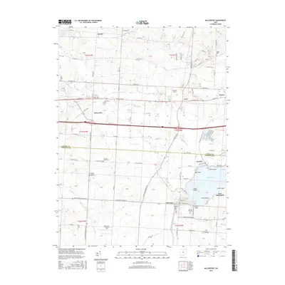 2016 Millersport2016 Print · USGSHebron and Millersport sit at the heart of this Licking County landscape during the mid-2010s, where the shores of Buckeye Lake meet traditional farmsteads. Researchers can trace local lineage at Refugee Baptist Smith Cem or explore the waterfront at Sellers Point and Mud Island.
 - 2019 Map of Carroll, 2019 Print
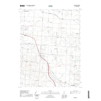 2019 Carroll2019 Print · USGSFairfield County at the end of the 2010s shows a landscape of established villages and quiet country cemeteries. Genealogists and historians can locate family landmarks like John Bright Bridge and burial sites at Coffman Cem or Baugher Cem.
Showing maps 1-25 of 32
Top cities near Liberty Township
- Columbus historical maps
- Newark historical maps
- Lancaster historical maps
- Reynoldsburg historical maps
- Gahanna historical maps
- Pickerington historical maps
See more
Top neighborhoods of Liberty Township
Frequently asked questions
- What are the different types of historical maps available for Liberty Township?
- What is the oldest map of Liberty Township?
- Where can I purchase historical maps of Liberty Township for my home or office?
- Where can I download high-res historical maps of Liberty Township?
- Are there historical topographic maps available for Liberty Township?
- Is there historical aerial imagery available for Liberty Township?
- Where are historical maps of Liberty Township sourced from?