Old Maps of Coliseum District, Columbus for Academic Research
Study the evolution of Coliseum District with 27 high-resolution historic maps. Whether you're teaching, researching, or modeling changes in land use, these maps provide essential visual documentation of urban, environmental, and geographic change.
- Analyze long-term change: Track patterns in development, transportation, and natural features.
- Ideal for environmental or urban studies: Support academic projects with primary historical map data.
- Use in the classroom or lab: Educators and researchers rely on these maps to bring historical context to life.
These maps are a powerful tool for teaching, research, and visualizing how Coliseum District has changed over the decades.
Coliseum District, Columbus maps
(27)- 1902 Map of Westerville, 1958 Print
 1902 Westerville1958 Print · USGSFranklin and Delaware counties at the turn of the century show a landscape transitioning from rural mill seats to rail-connected suburbs. Genealogists can trace family footprints through historic settlements like Westerville, Gahanna, and the trolley-linked Central College.
 - 1904 Map of Westerville, 1941 Print
 1904 Westerville1941 Print · USGSCentral Ohio at the turn of the century shows a landscape transitioning from rural crossroads to early suburban rail hubs. Genealogists and local historians can trace the paths of the Columbus and Newark Electric R.R. and locate vanished local points like Africa, Central College, and Unhook.2 unique versions available
 - 1925 Map of East Columbus, 1940 Print
 1925 East Columbus1940 Print · USGSGreater Columbus and its eastern suburbs were rapidly expanding in the 1920s as industry and transit lines bridged the gap between city and farm. Genealogists and historians can trace the paths of the ABANDONED CANAL, the legacy of NORTON FIELD, and old village centers like Canal Winchester and Lithopolis.3 unique versions available
 - 1943 Map of East Columbus
 1943 East Columbus1943 Print · USGSEastern Columbus and the Refugee Tract are captured here during the mobilization of the early 1940s. Genealogists and historians can trace the foundations of modern aviation at Port Columbus or find vanished landmarks like the Childrens Home and Norton Field.
 - 1947 Map of Columbus, 1948 Print
 1947 Columbus1948 Print · USGSCentral Ohio in the late 1940s is captured in this survey, showing the post-war transition of its rail hubs and military airfield expansions. Genealogists and historians can trace the paths of the Ohio Canal, the Pennsylvania RR lines, and the Camp Sherman Military Reservation.
 - 1950 Map of Marion
 1950 Marion1950 Print · USGSCentral Ohio was a powerhouse of rail and river industry at the mid-century point, serving as a vital corridor between the Great Lakes and the Ohio River valley. Genealogists and rail historians can trace the paths of the Erie RR and Nickel Plate Road through towns like Bucyrus, Galion, and Upper Sandusky.
 - 1954 Map of Northeast Columbus, 1956 Print
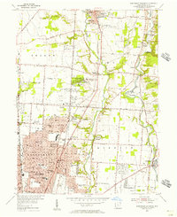 1954 Northeast Columbus1956 Print · USGSNortheast Columbus and its northern suburbs are captured in the mid-fifties as rural areas transitioned into postwar residential developments. Genealogists can locate family landmarks such as Otterbein Cem, the State Home for the Aged, and early schools like McKinley High Sch.
 - 1955 Map of Southeast Columbus, 1957 Print
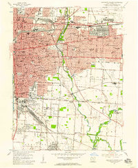 1955 Southeast Columbus1957 Print · USGSSoutheast of downtown Columbus in the mid-fifties, this area shows a dense landscape of parochial schools and major transit junctions. Genealogists and local historians can trace legacy sites like Evergreen Burial Park and the vanished crossroads of Valley Crossing or Munks Corners.
 - 1961 Map of Columbus
 1961 Columbus1961 Print · USGSCentral and Southern Ohio are captured here in the early sixties, as the region's industrial rail hubs and military bases reached their peak. Genealogists and historians can trace the transition from urban Columbus to rural townships along the Scioto River, locating Lockbourne USAF and old junctions like Washington Court House.
 - 1962 Map of Columbus
 1962 Columbus1962 Print · USGSCentral Ohio during the early sixties reveals a transition from the industrial corridors of Columbus to the forested ridges of the south. Genealogists and historians can trace the rail networks of the Baltimore & Ohio RR and find local landmarks like Washington Court House and Camp Sherman Military Reservation.
 - 1962 Map of Marion
 1962 Marion1962 Print · USGSCentral Ohio during the post-war era showcases a dense network of railroad towns and emerging interstate highways. Genealogists can trace family roots in smaller settlements like Houcktown and Marseilles or locate landmarks near Indian Lake.
 - 1964 Map of Southeast Columbus, 1966 Print
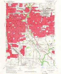 1964 Southeast Columbus1966 Print · USGSSoutheast Columbus and the surrounding Franklin County suburbs are captured during a decade of rapid growth and rail-to-highway transition. Genealogists and local historians can trace family-named sites and vanished junctions like Munks Corners, Valley Crossing, and the Columbus Motor Speedway.5 unique versions available
 - 1964 Map of Northeast Columbus, 1966 Print
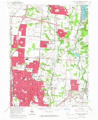 1964 Northeast Columbus1966 Print · USGSThe northern suburbs of Columbus are shown in a period of major expansion during the mid-sixties as new highways began to reshape the landscape. Local historians can trace the growth of Westerville, identify early layouts of Huber Ridge, and locate long-standing landmarks like Otterbein College and Riverside Cem.4 unique versions available
 - 1966 Map of Marion, 1968 Print
 1966 Marion1968 Print · USGSCentral Ohio in the mid-sixties is captured during a period of rapid highway expansion and industrial connectivity. Genealogists and historians can trace rail-and-river networks through towns like Marion, Urbana, and Mount Vernon, or locate landmarks such as Malabar Farm and Black Hand Rock.3 unique versions available
 - 1967 Map of Columbus, 1969 Print
 1967 Columbus1969 Print · USGSCentral Ohio during the late sixties serves as a vital corridor of rail and aviation, from the industrial streets of Springfield to the hangar lines of Lockbourne Air Force Base. Genealogists and researchers can trace the growth of towns like Circleville and London or locate rural landmarks such as St Paul church and the London Correctional Institution.2 unique versions available
 - 1984 Map of Lancaster, 1985 Print
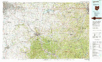 1984 Lancaster1985 Print · USGSCentral Ohio and the Hocking Valley come into focus during the mid-eighties as suburban growth meets the wooded ridges of the southeast. Researchers can trace transportation networks through Buckeye Lake or locate landmarks like Flint Ridge State Memorial and Moxahala Park.
 - 1995 Map of Northeast Columbus, 1999 Print
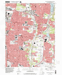 1995 Northeast Columbus1999 Print · USGSThe suburbs of northeast Franklin County undergo rapid expansion in the 1990s between the Alum and Big Walnut Creek valleys. Genealogists and local historians can trace legacy sites like Otterbein Cem, Central College, and the historical footprint of Parks Mills.
 - 2010 Map of Southeast Columbus, 2010 Print
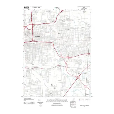 2010 Southeast Columbus2010 Print · USGSSoutheast Columbus in 2010 shows a mature metropolitan landscape defined by major aviation hubs and historic industrial districts. Researchers can locate family roots at Evergreen Burial Park or trace the early development of Munks Corners and Steelton.
 - 2010 Map of Northeast Columbus, 2010 Print
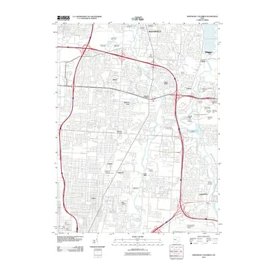 2010 Northeast Columbus2010 Print · USGSNortheast Columbus at the turn of the millennium shows the dense suburban growth between the city and the shore of Hoover Reservoir. Researchers can trace the development of Gahanna and Westerville alongside historic sites like Otterbein Cemetery.
 - 2013 Map of Southeast Columbus, 2013 Print
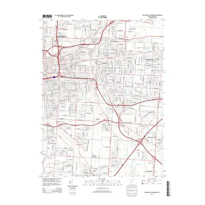 2013 Southeast Columbus2013 Print · USGSThe eastern suburbs of Columbus are shown in detail during their modern maturity, from the academic heart of Bexley to the industrial corridors of Steelton. Researchers can locate several historic burial grounds like Evergreen Burial Park and Agudas Achim Cem, or trace the rail lines of the Norfolk Southern.
 - 2013 Map of Northeast Columbus, 2013 Print
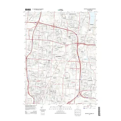 2013 Northeast Columbus2013 Print · USGSThe suburbs of northeast Columbus and Westerville are captured here during a period of rapid growth and modern expansion. Researchers can trace the boundaries of historic burial grounds like Otterbein Cem alongside industrial landmarks like Port Columbus International Airport.
 - 2016 Map of Northeast Columbus, 2016 Print
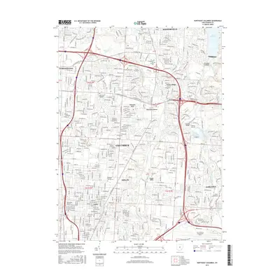 2016 Northeast Columbus2016 Print · USGSNortheast Columbus and its suburbs were a bustling corridor of education and transit during the mid-2010s. Genealogists and local historians can trace legacy sites like McKendree Methodist Episcopal Cem and Otterbein Cem near the historic Otterbein Coll campus.
 - 2016 Map of Southeast Columbus, 2016 Print
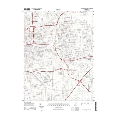 2016 Southeast Columbus2016 Print · USGSSoutheast Franklin County in the twenty-first century shows a modern city shaped by its river valleys and rail corridors. Trace the growth of Steelton, Bexley, and Obetz alongside landmarks like Port Columbus International Airport and Capital Univ.
 - 2019 Map of Northeast Columbus, 2019 Print
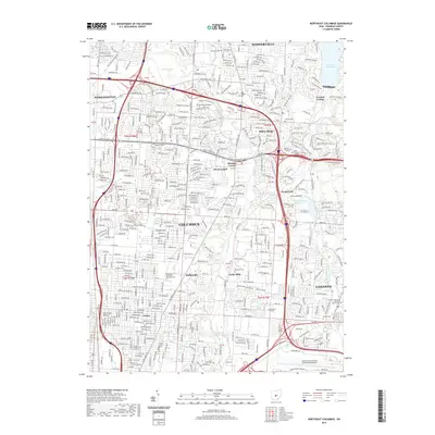 2019 Northeast Columbus2019 Print · USGSNortheast Columbus and its suburban surroundings are shown here in the late 2010s as a dense network of neighborhoods and historic landmarks. Genealogists can locate several early burial sites, including West Pioneer Cem and the McKendree Methodist Episcopal Cem.
 - 2019 Map of Southeast Columbus, 2019 Print
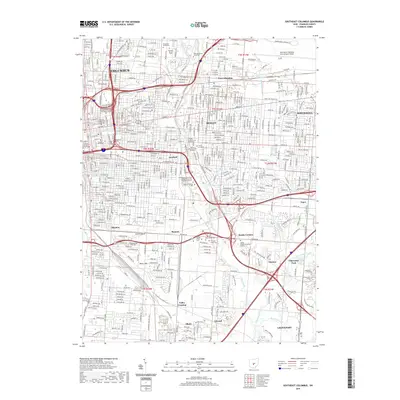 2019 Southeast Columbus2019 Print · USGSSoutheast Columbus in the late 2010s shows a dense urban landscape of historic neighborhoods and modern university campuses. Genealogists and local historians can trace legacy sites like Evergreen Burial Park, the rail junctions at Valley Crossing, and the corridors of BEXLEY and WHITEHALL.
Showing maps 1-25 of 27
Frequently asked questions
- What are the different types of historical maps available for Coliseum District?
- What is the oldest map of Coliseum District?
- Where can I purchase historical maps of Coliseum District for my home or office?
- Where can I download high-res historical maps of Coliseum District?
- Are there historical topographic maps available for Coliseum District?
- Is there historical aerial imagery available for Coliseum District?
- Where are historical maps of Coliseum District sourced from?