2010s Maps of Madison Township, Ohio
Explore 16 historic maps of Madison Township from the 2010s. These maps offer a rare glimpse into what life looked like during the 2010s — showing old roads, neighborhoods, homes, and landmarks that have changed or disappeared over time.
Whether you're researching your family's past, planning a metal detecting trip, or studying how Madison Township's landscape evolved across the 2010s, these high-resolution maps are a powerful tool for exploring the history of this region.
- Focus on a specific era: All maps on this page are from the 2010s, giving you a focused view of this time period.
- See what’s changed: Compare century-old streets, trails, and buildings to today's modern landscape using overlays and satellite layers.
- Research with precision: Use these maps for genealogy, historical research, land use analysis, or educational projects.
- View, download, or print: Maps are fully viewable online in high resolution, and can be downloaded or printed for your own records.
Start exploring Madison Township's history through authentic maps from the 2010s. This is your window into the past.
Madison Township, OH maps
(16)- 2010 Map of Reynoldsburg, 2010 Print
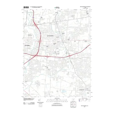 2010 Reynoldsburg2010 Print · USGSThe eastern suburbs of Columbus and Reynoldsburg are shown during the first decade of the 2000s as residential growth reshapes the landscape. Genealogists and local historians can locate many historic burial grounds including Pisgah Cemetery and Carlisle Cemetery or trace the development around Taylor Station.
 - 2010 Map of Southeast Columbus, 2010 Print
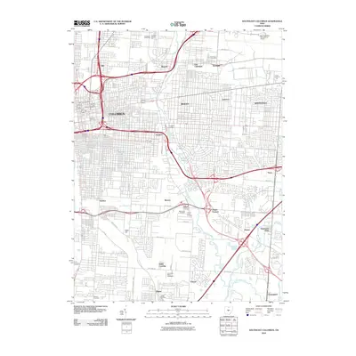 2010 Southeast Columbus2010 Print · USGSSoutheast Columbus in 2010 shows a mature metropolitan landscape defined by major aviation hubs and historic industrial districts. Researchers can locate family roots at Evergreen Burial Park or trace the early development of Munks Corners and Steelton.
 - 2010 Map of Canal Winchester, 2010 Print
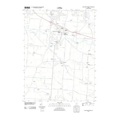 2010 Canal Winchester2010 Print · USGSCanal Winchester and Lithopolis were evolving rapidly at the start of the 2010s as suburban developments met historic Fairfield County farmsteads. Researchers can trace family history through over a dozen sites including Arlington Burial Park, Lithopolis Cemetery, and the Bergstresser Covered Bridge.
 - 2010 Map of Lockbourne, 2010 Print
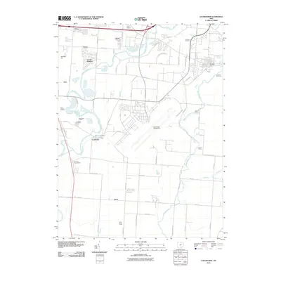 2010 Lockbourne2010 Print · USGSFranklin and Pickaway Counties in the early twenty-first century show a landscape of growing logistics hubs and military aviation. Genealogists can trace family plots at Watkins Cemetery and Paul Peters Farm Cemetery near Duvall.
 - 2013 Map of Reynoldsburg, 2013 Print
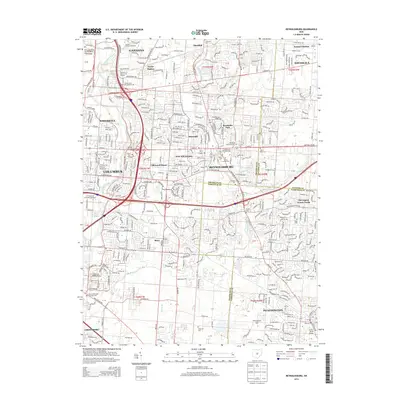 2013 Reynoldsburg2013 Print · USGSThe eastern suburbs of Columbus are shown in high detail during a period of significant residential and commercial maturity. Local historians can trace the legacy of the Baltimore and Ohio RR or locate family sites at Carlisle Cem and Silent Home Cem.
 - 2013 Map of Lockbourne, 2013 Print
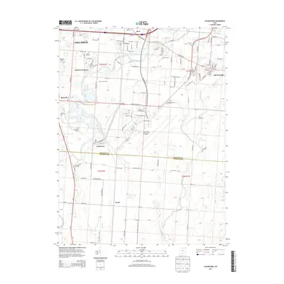 2013 Lockbourne2013 Print · USGSThe southern fringes of the Columbus metro area meet the Pickaway County line in this modern study of aviation and agriculture. Researchers can trace historic family burial sites like Walnut Hill Cem and Paul Peters Farm Cem near the Lockbourne village limits.
 - 2013 Map of Canal Winchester, 2013 Print
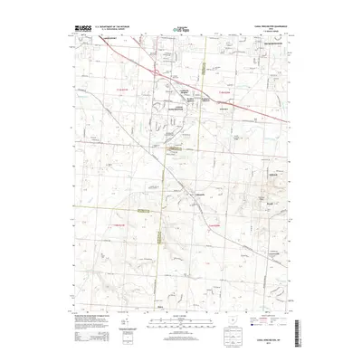 2013 Canal Winchester2013 Print · USGSCanal Winchester and the surrounding townships appear here during a period of modern growth at the Fairfield and Franklin county line. Genealogists and historians can trace numerous family burial sites such as Union Grove Cem or find historic crossings like the Bergstresser Covered Bridge.
 - 2013 Map of Southeast Columbus, 2013 Print
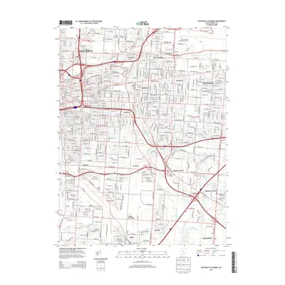 2013 Southeast Columbus2013 Print · USGSThe eastern suburbs of Columbus are shown in detail during their modern maturity, from the academic heart of Bexley to the industrial corridors of Steelton. Researchers can locate several historic burial grounds like Evergreen Burial Park and Agudas Achim Cem, or trace the rail lines of the Norfolk Southern.
 - 2016 Map of Canal Winchester, 2016 Print
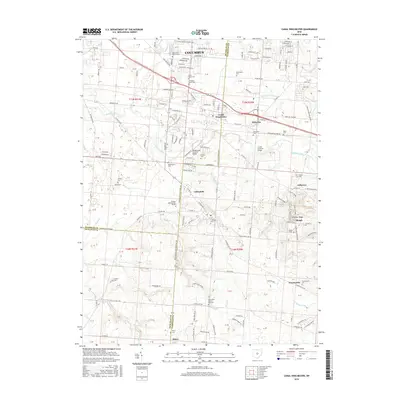 2016 Canal Winchester2016 Print · USGSSoutheast of Columbus during the mid-2010s, this area shows a unique blend of growing suburban neighborhoods and preserved rural heritage. Researchers can locate numerous family burial grounds and landmarks like the Bergstresser Covered Bridge, Lithopolis Cem, and Glick Brick Church.
 - 2016 Map of Lockbourne, 2016 Print
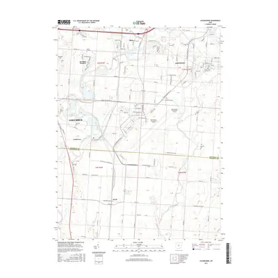 2016 Lockbourne2016 Print · USGSThe suburbs south of Columbus and the vast airfield at Rickenbacker characterize this central Ohio landscape during the mid-2010s. Genealogists can locate several historic burial sites, including Saint Josephs Cem, Fernwood Cem, and the small Hendren Cem.
 - 2016 Map of Reynoldsburg, 2016 Print
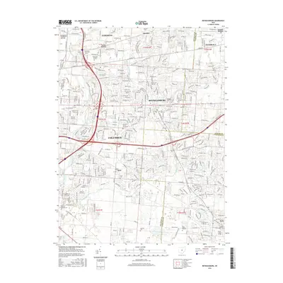 2016 Reynoldsburg2016 Print · USGSThe eastern edge of the Columbus metro area comes into focus during this mid-decade period of suburban growth. Researchers can trace local heritage through numerous burial sites like Truro Cem and Powell Cem, or follow the waters of Blacklick Creek.
 - 2016 Map of Southeast Columbus, 2016 Print
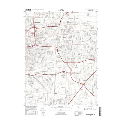 2016 Southeast Columbus2016 Print · USGSSoutheast Franklin County in the twenty-first century shows a modern city shaped by its river valleys and rail corridors. Trace the growth of Steelton, Bexley, and Obetz alongside landmarks like Port Columbus International Airport and Capital Univ.
 - 2019 Map of Canal Winchester, 2019 Print
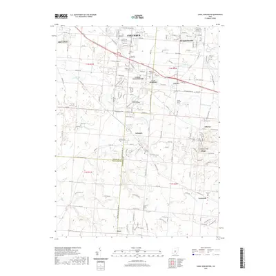 2019 Canal Winchester2019 Print · USGSSoutheast of Columbus in the late twenty-tens, this area shows a mix of suburban expansion and preserved rural history. Researchers can find numerous family cemeteries and historic crossings like the Bergstresser Covered Bridge, Lithopolis, and Greencastle.
 - 2019 Map of Reynoldsburg, 2019 Print
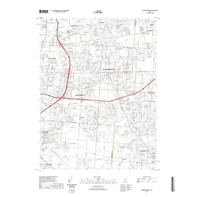 2019 Reynoldsburg2019 Print · USGSThe eastern suburbs of Columbus are shown here during a period of significant growth at the end of the 2010s. Researchers can locate numerous historic burial sites such as Glen Rest Memorial Cem and trace the paths of Blacklick Creek and Sycamore Creek.
 - 2019 Map of Lockbourne, 2019 Print
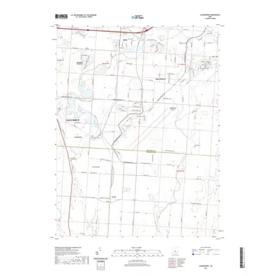 2019 Lockbourne2019 Print · USGSSouth of Columbus in the late 2010s, this area shows the sprawl of industrial logistics around Rickenbacker International Airport. Researchers can find numerous family and community burial grounds, including Paul Peters Farm Cem, Groveport Cem, and Hendren Cem.
 - 2019 Map of Southeast Columbus, 2019 Print
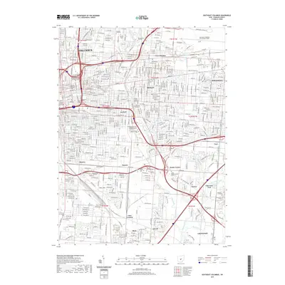 2019 Southeast Columbus2019 Print · USGSSoutheast Columbus in the late 2010s shows a dense urban landscape of historic neighborhoods and modern university campuses. Genealogists and local historians can trace legacy sites like Evergreen Burial Park, the rail junctions at Valley Crossing, and the corridors of BEXLEY and WHITEHALL.
End of results
Showing maps 1-16 of 16
Top cities near Madison Township
- Columbus historical maps
- Dublin historical maps
- Lancaster historical maps
- Upper Arlington historical maps
- Reynoldsburg historical maps
- Gahanna historical maps
See more
Top neighborhoods of Madison Township
Frequently asked questions
- What are the different types of historical maps available for Madison Township?
- What is the oldest map of Madison Township?
- Where can I purchase historical maps of Madison Township for my home or office?
- Where can I download high-res historical maps of Madison Township?
- Are there historical topographic maps available for Madison Township?
- Is there historical aerial imagery available for Madison Township?
- Where are historical maps of Madison Township sourced from?