Old Maps of Pleasant Township, Ohio for Academic Research
Study the evolution of Pleasant Township with 42 high-resolution historic maps. Whether you're teaching, researching, or modeling changes in land use, these maps provide essential visual documentation of urban, environmental, and geographic change.
- Analyze long-term change: Track patterns in development, transportation, and natural features.
- Ideal for environmental or urban studies: Support academic projects with primary historical map data.
- Use in the classroom or lab: Educators and researchers rely on these maps to bring historical context to life.
These maps are a powerful tool for teaching, research, and visualizing how Pleasant Township has changed over the decades.
Pleasant Township, OH maps
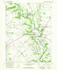
(42)- 1907 Map of London, 1940 Print
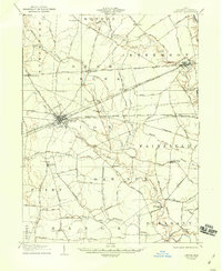 1907 London1940 Print · USGSMadison County at the turn of the century shows a landscape transitioning through the height of the electric railway era. Genealogists can trace the rural schoolhouses like Dunn School and Glade School or locate family sites near Lilly Chapel and Lafayette.2 unique versions available
 - 1923 Map of West Columbus, 1955 Print
 1923 West Columbus1955 Print · USGSFranklin County in the early twenties shows the growing western edge of Columbus and its surrounding rural townships. Genealogists and historians can trace the paths of the National Road and find landmarks like Camp Chase, Urbancrest, and Pisgah School.
 - 1925 Map of West Columbus, 1946 Print
 1925 West Columbus1946 Print · USGSFranklin and Pickaway counties are shown here in the mid-twenties, when the growing state capital met a landscape of electric railways and rural schoolhouses. Researchers can trace the National Road and locate sites like the Pisgah School, Mt Calvary Cemetery, and the State Hospital.
 - 1947 Map of Columbus, 1948 Print
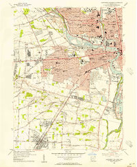
 1947 Columbus1948 Print · USGSCentral Ohio in the late 1940s is captured in this survey, showing the post-war transition of its rail hubs and military airfield expansions. Genealogists and historians can trace the paths of the Ohio Canal, the Pennsylvania RR lines, and the Camp Sherman Military Reservation.
 - 1955 Map of Harrisburg, 1956 Print
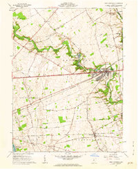
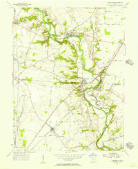 1955 Harrisburg1956 Print · USGSThe rural borderlands of Franklin, Pickaway, and Madison counties come to life in the mid-fifties as the Baltimore and Ohio Railroad connects the towns of Orient and Derby. Researchers can trace the grounds of the Orient State Institute or locate family plots at Little Pennsylvania Cem and McKinley Cem.
 - 1955 Map of Commercial Point, 1956 Print
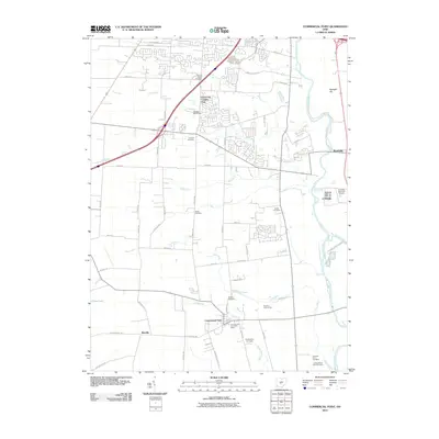
 1955 Commercial Point1956 Print · USGSPickaway and Franklin counties appear here in the mid-fifties, dominated by the Scioto River valley and a traditional agricultural landscape. Researchers can trace historic family properties like the James Borror Farm or locate rural burial sites such as Beckett Cem and Seeds Cem.
 - 1955 Map of Galloway, 1956 Print
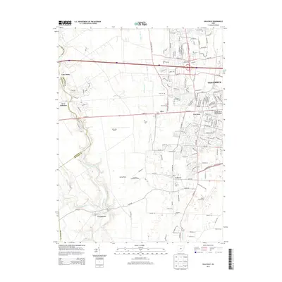
 1955 Galloway1956 Print · USGSThe rural fringes of western Columbus during the mid-fifties reveal a landscape of creek-side camps and rail-stop villages. Genealogists can trace family names through sites like Oak Grove Cem and Gundy Cem, or locate the historic Alton Station along the Pennsylvania Railroad.
 - 1955 Map of Southwest Columbus, 1956 Print
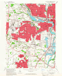
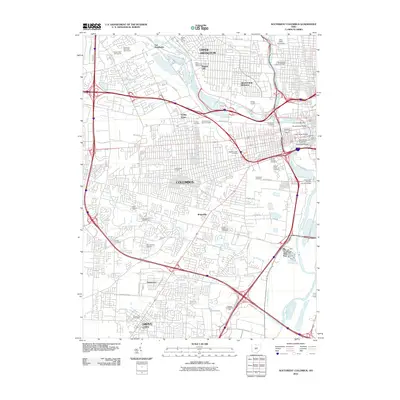
 1955 Southwest Columbus1956 Print · USGSMid-century Franklin County is captured here during a period of significant urban growth and industrial activity. Researchers can trace the development of neighborhoods like Grove City and Urbancrest, or locate family landmarks at Greenlawn Cemetery and Salem Ch.
 - 1961 Map of Columbus
 1961 Columbus1961 Print · USGSCentral and Southern Ohio are captured here in the early sixties, as the region's industrial rail hubs and military bases reached their peak. Genealogists and historians can trace the transition from urban Columbus to rural townships along the Scioto River, locating Lockbourne USAF and old junctions like Washington Court House.
 - 1961 Map of West Jefferson, 1962 Print
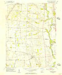
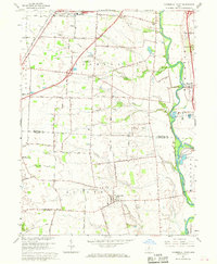
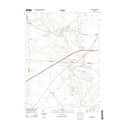
 1961 West Jefferson1962 Print · USGSMadison County's agricultural heartland is documented here in the early sixties, centered on the rail-and-river hub of West Jefferson. Researchers can trace family roots through sites like Hampton Cem and the rural community at Lilly Chapel.4 unique versions available
 - 1962 Map of Columbus
 1962 Columbus1962 Print · USGSCentral Ohio during the early sixties reveals a transition from the industrial corridors of Columbus to the forested ridges of the south. Genealogists and historians can trace the rail networks of the Baltimore & Ohio RR and find local landmarks like Washington Court House and Camp Sherman Military Reservation.
 - 1965 Map of Southwest Columbus, 1967 Print
 1965 Southwest Columbus1967 Print · USGSSouthwest Columbus and Grove City are shown here during a period of rapid mid-century expansion along the Scioto River. Genealogists and researchers can trace family landmarks like Greenlawn Cemetery, Beulah Park, and the Ohio State Penitentiary.5 unique versions available
 - 1966 Map of Commercial Point, 1968 Print
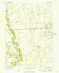
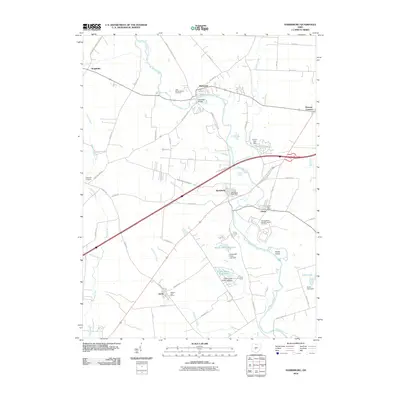
 1966 Commercial Point1968 Print · USGSPickaway and Franklin counties in the mid-sixties show a landscape of traditional family farms beginning to meet modern institutional expansion. Genealogists can locate Seeds Cemetery and Beckett Cemetery or trace the early footprint of Matville and the Orient State Institute.2 unique versions available
 - 1966 Map of Harrisburg, 1968 Print
 1966 Harrisburg1968 Print · USGSCentral Ohio farmland meets institutional history in the mid-1960s at the intersection of Franklin, Madison, and Pickaway counties. Genealogists can trace family names at Fitzgerald Cem or locate former residences in Harrisburg, Darbydale, and the Orient State Institute.3 unique versions available
 - 1966 Map of Galloway, 1968 Print
 1966 Galloway1968 Print · USGSWestern Franklin County was a landscape of transitioning farmsteads and new suburban tracts in the mid-sixties. Genealogists and local historians can trace old family cemetery plots like Clover Cem and Galloway Cem alongside vanished landmarks like Columbus Airpark.4 unique versions available
 - 1967 Map of Columbus, 1969 Print
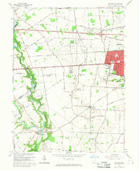
 1967 Columbus1969 Print · USGSCentral Ohio during the late sixties serves as a vital corridor of rail and aviation, from the industrial streets of Springfield to the hangar lines of Lockbourne Air Force Base. Genealogists and researchers can trace the growth of towns like Circleville and London or locate rural landmarks such as St Paul church and the London Correctional Institution.2 unique versions available
 - 1986 Map of Springfield
 1986 Springfield1986 Print · USGSCentral Ohio in the mid-1980s shows the bustling rail-and-road network connecting Springfield and Xenia to the western outskirts of Columbus. Researchers can trace old family sites and transit routes through Glen Haven Mem Cem, Madison Lake State Park, and the CONRAIL line.2 unique versions available
 - 2010 Map of Galloway, 2010 Print
 2010 Galloway2010 Print · USGSCovers Pleasant Township, including Columbus, Hilliard, and other nearby areas
 - 2010 Map of West Jefferson, 2010 Print
 2010 West Jefferson2010 Print · USGSCovers Pleasant Township, including West Jefferson, Gillivan, and other nearby areas
 - 2010 Map of Commercial Point, 2010 Print
 2010 Commercial Point2010 Print · USGSCovers Pleasant Township, including Columbus, Grove City, and other nearby areas
 - 2010 Map of Harrisburg, 2010 Print
 2010 Harrisburg2010 Print · USGSCovers Pleasant Township, including Orient, Derby, and other nearby areas
 - 2010 Map of Southwest Columbus, 2010 Print
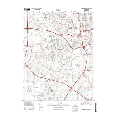
 2010 Southwest Columbus2010 Print · USGSCovers Pleasant Township, including Columbus, Upper Arlington, and other nearby areas
 - 2013 Map of Southwest Columbus, 2013 Print
 2013 Southwest Columbus2013 Print · USGSCovers Pleasant Township, including Columbus, Upper Arlington, and other nearby areas
 - 2013 Map of Galloway, 2013 Print
 2013 Galloway2013 Print · USGSCovers Pleasant Township, including Columbus, Hilliard, and other nearby areas
 - 2013 Map of Harrisburg, 2013 Print
 2013 Harrisburg2013 Print · USGSCovers Pleasant Township, including Orient, Derby, and other nearby areas
Showing maps 1-25 of 42
Top cities near Pleasant Township
- Columbus historical maps
- Dublin historical maps
- Westerville historical maps
- Hilliard historical maps
- Upper Arlington historical maps
- Grove City historical maps
See more
Top neighborhoods of Pleasant Township
- Georgesville historical maps
- Harrisburg historical maps
- Pleasant Corners historical maps
- Darbydale historical maps
Frequently asked questions
- What are the different types of historical maps available for Pleasant Township?
- What is the oldest map of Pleasant Township?
- Where can I purchase historical maps of Pleasant Township for my home or office?
- Where can I download high-res historical maps of Pleasant Township?
- Are there historical topographic maps available for Pleasant Township?
- Is there historical aerial imagery available for Pleasant Township?
- Where are historical maps of Pleasant Township sourced from?