Old Maps of Fulton County, Ohio for Genealogy
Trace your family roots with 104 historic maps of Fulton County. These high-res maps reveal old neighborhoods, homesites, landmarks, and streets — helping you uncover where your ancestors lived and how the area evolved over time.
- Explore historic neighborhoods: Identify where your relatives may have lived in the 1800s or 1900s.
- Compare maps over time: Trace the changes in streets, buildings, and landmarks for multi-generational research.
- Perfect for genealogy & ancestry research: Used by family historians and researchers to map out lineage and migration.
These maps are an incredible resource for exploring your personal connection to Fulton County's past.
Fulton County, OH maps
(104)- 1907 Map of Defiance, 1960 Print
 1907 Defiance1960 Print · USGSNorthwest Ohio’s river-and-rail economy is on full display at the turn of the century, centered on the strategic confluence at Defiance. Genealogists can trace family footprints in outlying settlements like Evansport, Jewell, and Ridgeville Corners.
 - 1908 Map of Napoleon, 1942 Print
 1908 Napoleon1942 Print · USGSNorthwest Ohio was a hub of steam and water transit at the turn of the century, with the Maumee River anchoring the region. Genealogists and rail historians can trace the paths of five different railroads and the historic Miami and Erie Canal through towns like Napoleon and Malinta.2 unique versions available
 - 1909 Map of Mc Clure, 1936 Print
 1909 Mc Clure1936 Print · USGSNorthwest Ohio's agricultural and transit heartland is captured here at the start of the twentieth century. Genealogists and rail historians can trace the paths of the Wabash RR and the Electric Detroit and Toledo Line as they connected towns like Mc Clure and Weston.2 unique versions available
 - 1909 Map of Defiance, 1940 Print
 1909 Defiance1940 Print · USGSNorthwest Ohio thrives at the junction of the Maumee and Auglaize rivers in the early twentieth century. Genealogists can trace family footprints in Defiance or explore rural outposts like Evansport and the path of the Miami and Erie Canal.
 - 1911 Map of Wauseon, 1954 Print
 1911 Wauseon1954 Print · USGSFulton County and the Michigan-Ohio borderlands thrived as a major railroad hub in the early twentieth century. Researchers can trace numerous vanished district schools like Swamp Angel School and stop-points like Tedrow PO or Ottokee Sta.
 - 1911 Map of Swanton, 1956 Print
 1911 Swanton1956 Print · USGSNorthwest Ohio and the Michigan border are captured here just before the era of major highway expansion. Genealogists can trace early twentieth-century property locations near Metamora, Raab Corners, and numerous rural schoolhouses like Frogpond School.
 - 1913 Map of Wauseon
 1913 Wauseon1913 Print · USGSFulton County and the Michigan-Ohio border are shown here just before the Great War, during the peak of the region's rural school and rail networks. Genealogists can locate specific family-named landmarks and institutions like Tedrow PO, Ottokee, and the Swamp Angel School.2 unique versions available
 - 1913 Map of Alvordton
 1913 Alvordton1913 Print · USGSThe rural borderlands of Ohio and Michigan are captured here just after the turn of the century, showing a landscape of burgeoning rail junctions and tight-knit farming townships. Researchers can trace the heritage of vanished school districts and country houses of worship like Gray Church and the Mennonite Church near Archbold.3 unique versions available
 - 1914 Map of Swanton, 1937 Print
 1914 Swanton1937 Print · USGSThe Ohio-Michigan borderlands come alive in this era of peak rail transit and rural schoolhouse density. Genealogists and historians can trace family roots through numerous local landmarks like Metamora, Richfield Center, and uniquely named sites such as Huckleberry School or Frogpond School.
 - 1943 Map of Wauseon, 1944 Print
 1943 Wauseon1944 Print · USGSFulton County and the Michigan-Ohio border are shown during the mid-forties when steam rail and rural school districts still defined the local geography. Genealogists can trace family footprints across dozens of local landmarks like Ottokee, Winameg, and the uniquely named Swamp Angel Sch.
 - 1944 Map of Alvordton
 1944 Alvordton1944 Print · USGSSpanning the Michigan and Ohio border in the 1940s, this area shows a landscape of busy rail junctions and rural school districts. Genealogists can trace family roots through sites like Gray Church, Virginia School, or the settlements of Fayette and West Unity.
 - 1953 Map of Fort Wayne, 1963 Print
 1953 Fort Wayne1963 Print · USGSNortheast Indiana and its neighboring borderlands in Michigan and Ohio appear here during a peak era of rail and road expansion. Researchers can trace the massive rail networks of the Nickel Plate Road and Wabash or locate lakeside landmarks like Lake Wawasee and Clear Lake.4 unique versions available
 - 1956 Map of Fort Wayne
 1956 Fort Wayne1956 Print · USGSThe tri-state borderlands of Indiana, Michigan, and Ohio are captured here in the mid-fifties, centered on the growing industrial hub of Fort Wayne. Researchers can trace the heavy rail lines of the New York Central and Pennsylvania alongside prominent water features like Lake Wawasee and the Maumee River.2 unique versions available
 - 1956 Map of Toledo, 1968 Print
 1956 Toledo1968 Print · USGSNorthwest Ohio and the Lake Erie shoreline are shown in detail during the late fifties, showcasing a landscape of heavy industry, railroads, and island communities. Genealogists and historians can trace rail networks like the Chesapeake & Ohio RR or locate landmarks such as the Erie Proving Ground and Kelleys Island.4 unique versions available
 - 1959 Map of Archbold, 1961 Print
 1959 Archbold1961 Print · USGSIn the late 1950s, Archbold stood as a thriving rail hub at the intersection of the New York Central and Wabash lines. Genealogists can trace family roots through numerous local landmarks, including Rupp Cem, West Franklin Ch, and Ruihley Park.2 unique versions available
 - 1959 Map of Ridgeville Corners, 1961 Print
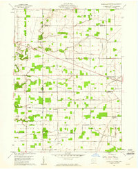 1959 Ridgeville Corners1961 Print · USGSNorthwest Ohio at the end of the fifties reveals a landscape shaped by township grids and converging county lines. Researchers can trace family history through local landmarks like Ridgeville Corners, Bethlehem Ch, and the Domersville Cemetery.3 unique versions available
 - 1959 Map of Napoleon West, 1961 Print
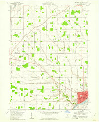 1959 Napoleon West1961 Print · USGSHenry County is captured in a moment of post-war growth when rural townships and the riverside city of NAPOLEON were connected by rail and river. Genealogists can locate family-named landmarks like Bremer Cem and trace old routes such as the Ironton and Toledo Detroit.2 unique versions available
 - 1960 Map of Napoleon East, 1961 Print
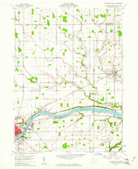 1960 Napoleon East1961 Print · USGSHenry County in the early sixties shows a landscape shaped by the river and the rail, as the towns of Napoleon and Liberty Center anchored this farming region. Genealogists can locate family sites at Forest Hill Cemetery, Liberty Chapel, and along the old route of the Miami and Erie Canal.3 unique versions available
 - 1960 Map of Wauseon, 1961 Print
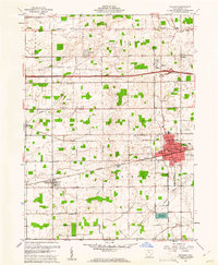 1960 Wauseon1961 Print · USGSFulton County agricultural life and mid-century transit are frozen in time just as the interstate era reshaped the landscape. Researchers can trace family sites like Aeschliman Cem, the old Ottokee Station, and local landmarks like the Drive-in Theater.3 unique versions available
 - 1960 Map of Colton, 1961 Print
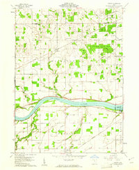 1960 Colton1961 Print · USGSHenry County and the Maumee River valley are shown in the early 1960s as a landscape of timbered forests and precise rail-side villages. Researchers can locate family landmarks like Mohler-Union Cem, Damascus Ch, and the riverside Grand Rapids Dam.3 unique versions available
 - 1960 Map of Morenci, 1961 Print
 1960 Morenci1961 Print · USGSMorenci and the surrounding borderlands of Michigan and Ohio are shown here in the early sixties, as rail lines and rural townships defined the local economy. Genealogists can trace family names through Oak Grove Cemetery, East Chesterfield Ch, and the crossroads at Oakshade.3 unique versions available
 - 1960 Map of Fayette, 1961 Print
 1960 Fayette1961 Print · USGSThe borderlands of Fulton County and Michigan come into focus in this 1960s survey of Fayette. Family historians can trace local landmarks like Snow Cem, the grounds of Camp Palmer, and the rural crossroads of Munson and Powers.4 unique versions available
 - 1960 Map of Lyons, 1961 Print
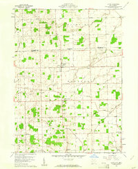 1960 Lyons1961 Print · USGSNorthwest Ohio's borderlands are mapped here in the early sixties, showing the rural landscape around Lyons and Winameg. Researchers can trace old family sites and transit routes including the Detroit Toledo and Ironton railroad, Rose Hill Cem, and Tubbs Sch.3 unique versions available
 - 1960 Map of Delta, 1962 Print
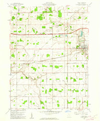 1960 Delta1962 Print · USGSThe rail and road networks of Fulton County are on full display during the early sixties, centered on the growing hub of Delta. Researchers can trace old family lines through Greenlawn Cemetery or locate rural landmarks like the Swan Creek Ch and Grieser Airport.3 unique versions available
 - 1960 Map of Swanton, 1962 Print
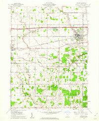 1960 Swanton1962 Print · USGSSwanton and Delta appear at the height of the mid-century era, situated along a busy intersection of historic rail lines and the modern turnpike. Researchers can trace rural lineages through landmarks like Centerville Cem, Baker Ch, and the small settlement of Ai.2 unique versions available
Showing maps 1-25 of 104
Top cities of Fulton County
- Wauseon historical maps
- Archbold historical maps
- Delta historical maps
- Fayette historical maps
- Metamora historical maps
- Lyons historical maps
Frequently asked questions
- What are the different types of historical maps available for Fulton County?
- What is the oldest map of Fulton County?
- Where can I purchase historical maps of Fulton County for my home or office?
- Where can I download high-res historical maps of Fulton County?
- Are there historical topographic maps available for Fulton County?
- Is there historical aerial imagery available for Fulton County?
- Where are historical maps of Fulton County sourced from?