1900s (20th Century) Maps of Addison Township, Ohio
Explore 11 historic maps of Addison Township from the 1900s (20th Century). These maps offer a rare glimpse into what life looked like during the 1900s — showing old roads, neighborhoods, homes, and landmarks that have changed or disappeared over time.
Whether you're researching your family's past, planning a metal detecting trip, or studying how Addison Township's landscape evolved across the 1900s, these high-resolution maps are a powerful tool for exploring the history of this region.
- Focus on a specific era: All maps on this page are from the 1900s, giving you a focused view of this time period.
- See what’s changed: Compare century-old streets, trails, and buildings to today's modern landscape using overlays and satellite layers.
- Research with precision: Use these maps for genealogy, historical research, land use analysis, or educational projects.
- View, download, or print: Maps are fully viewable online in high resolution, and can be downloaded or printed for your own records.
Start exploring Addison Township's history through authentic maps from the 1900s. This is your window into the past.
Addison Township, OH maps
(11)- 1908 Map of Point Pleasant
 1908 Point Pleasant1908 Print · USGSThe confluence of the Ohio and Kanawha Rivers comes alive in the Edwardian era, showing a landscape defined by steamboats and steam engines. Genealogists can trace family roots through riverside landings and local institutions like the Ohio Epileptic Home, Hickory Chapel, and the Gallipolis Ferry.3 unique versions available
 - 1926 Map of Point Pleasant, 1958 Print
 1926 Point Pleasant1958 Print · USGSAt the meeting of the Ohio and Kanawha rivers, this 1920s landscape captures a bustling network of river commerce and railroad towns. Researchers can trace historic river crossings like the Gallipolis Ferry and locate early institutional landmarks including the Epileptic Home and State Industrial School.
 - 1929 Map of Point Pleasant
 1929 Point Pleasant1929 Print · USGSThe riverfronts of the Ohio and Kanawha serve as the industrial spine for this region during the late 1920s. Researchers can trace genealogical roots through dozens of local landmarks like Ambrosia PO, Clipper Mill, and the Morning Star School.2 unique versions available
 - 1957 Map of Huntington, 1966 Print
 1957 Huntington1966 Print · USGSThe industrial heart of the Ohio River valley is captured here in the mid-sixties, showing the growth of Huntington and Ashland. Researchers can trace the extensive rail networks of the Chesapeake and Ohio RR and locate sites like the Chief Cornstalk Hunting Ground.3 unique versions available
 - 1958 Map of Cheshire, 1959 Print
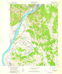 1958 Cheshire1959 Print · USGSThe Ohio River valley near Point Pleasant hummed with mid-century industry and institutional growth along the rail lines. Researchers can trace the footprints of the Lakin State Hospital, the Clifton F McClintic State Wildlife Station, and numerous local landmarks like Spillman Ch.
 - 1958 Map of Gallipolis, 1960 Print
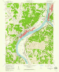 1958 Gallipolis1960 Print · USGSThe confluence of the Ohio and Kanawha Rivers comes alive in the late 1950s, showing the vital border connection between Ohio and West Virginia. Genealogists and local historians can trace family sites from Mound Hill Cemetery to rural landmarks like Mina Chapel and the County Childrens Home.4 unique versions available
 - 1960 Map of Huntington
 1960 Huntington1960 Print · USGSThe tri-state river valley thrived in the late fifties as a hub of heavy industry and Appalachian rail transit. Genealogists and historians can trace the connection between river towns like Ashland and Portsmouth or locate family homesteads near Coleman Ridge.
 - 1960 Map of Addison, 1961 Print
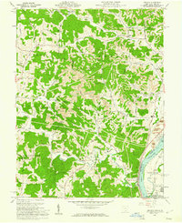 1960 Addison1961 Print · USGSGallia County and the Ohio River riverfront appear in the early sixties at a peak of coal and power production. Genealogists can trace family names through landmarks like McCarty Cem and Roush Cem or the rural settlement at Eno.4 unique versions available
 - 1968 Map of Gallipolis, 1970 Print
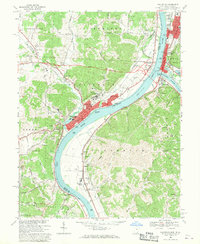 1968 Gallipolis1970 Print · USGSThe Ohio and Kanawha Rivers converge in the late sixties at the border of Ohio and West Virginia. Trace local history through the rail lines of the Baltimore and Ohio, the historic Gallia Academy, and old cemeteries like Mound Hill Cemetery.
 - 1968 Map of Cheshire, 1970 Print
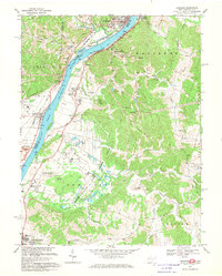 1968 Cheshire1970 Print · USGSThe Ohio River valley thrives in the late 1960s as a hub of tri-railroad transport and state-run institutions. Researchers can trace the extensive Penn Central lines or locate historic sites like Lakin State Hospital and Feniel Ch.4 unique versions available
 - 1981 Map of Ironton, 1982 Print
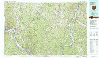 1981 Ironton1982 Print · USGSThe tri-state river valley at the start of the eighties shows a landscape shaped by heavy industry, atomic energy, and sprawling national forests. Researchers can trace the legacy of iron production at Harrison Furnace or follow the historic rail lines of the C & O RR and N & W RR.
End of results
Showing maps 1-11 of 11
Top cities near Addison Township
- Point Pleasant historical maps
- Gallipolis historical maps
- Middleport historical maps
- Addison historical maps
- Pomeroy historical maps
- New Haven historical maps
See more
Top neighborhoods of Addison Township
- Bulaville historical maps
- Tara Estates historical maps
- River Bend Subdivision historical maps
- Gilmore Heights historical maps
- Iva Dale Subdivision historical maps
- Addison historical maps
Frequently asked questions
- What are the different types of historical maps available for Addison Township?
- What is the oldest map of Addison Township?
- Where can I purchase historical maps of Addison Township for my home or office?
- Where can I download high-res historical maps of Addison Township?
- Are there historical topographic maps available for Addison Township?
- Is there historical aerial imagery available for Addison Township?
- Where are historical maps of Addison Township sourced from?