2000s (21st Century) Maps of Cheshire Township, Ohio
Explore 20 historic maps of Cheshire Township from the 2000s (21st Century). These maps offer a rare glimpse into what life looked like during the 2000s — showing old roads, neighborhoods, homes, and landmarks that have changed or disappeared over time.
Whether you're researching your family's past, planning a metal detecting trip, or studying how Cheshire Township's landscape evolved across the 2000s, these high-resolution maps are a powerful tool for exploring the history of this region.
- Focus on a specific era: All maps on this page are from the 2000s, giving you a focused view of this time period.
- See what’s changed: Compare century-old streets, trails, and buildings to today's modern landscape using overlays and satellite layers.
- Research with precision: Use these maps for genealogy, historical research, land use analysis, or educational projects.
- View, download, or print: Maps are fully viewable online in high resolution, and can be downloaded or printed for your own records.
Start exploring Cheshire Township's history through authentic maps from the 2000s. This is your window into the past.
Cheshire Township, OH maps
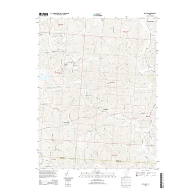
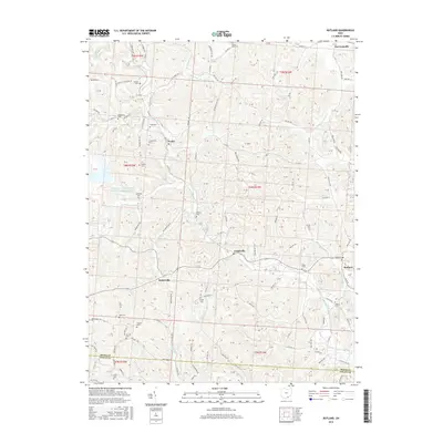
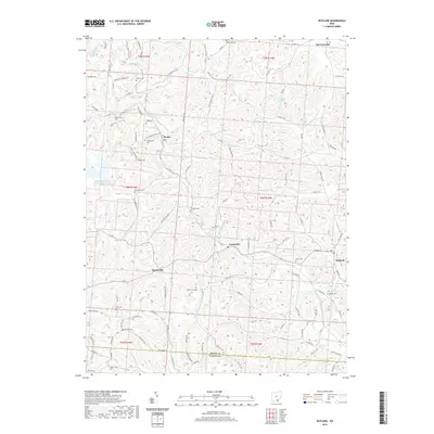
(20)- 2010 Map of Rutland, 2010 Print
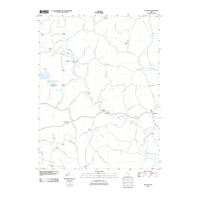 2010 Rutland2010 Print · USGSCovers Cheshire Township, including Rutland, Hanesville, and other nearby areas
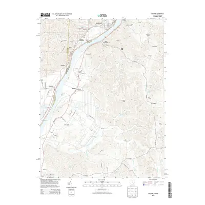
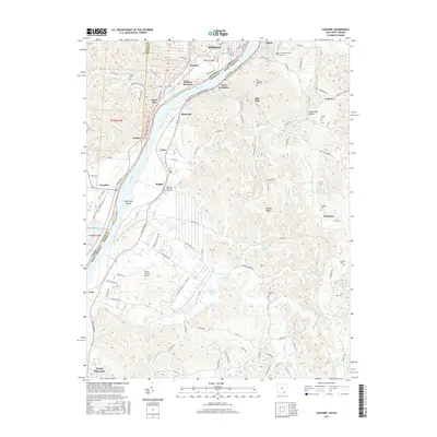
 - 2011 Map of Cheshire, 2011 Print
 2011 Cheshire2011 Print · USGSCovers Cheshire Township, including Point Pleasant, Middleport, and other nearby areas
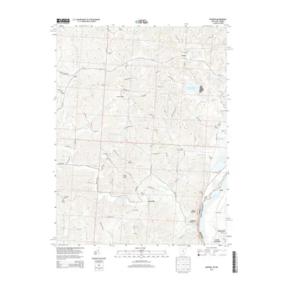
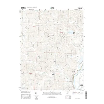
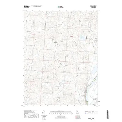
 - 2011 Map of Addison, 2011 Print
 2011 Addison2011 Print · USGSCovers Cheshire Township, including Point Pleasant, Addison, and other nearby areas
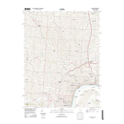
 - 2011 Map of Pomeroy, 2011 Print
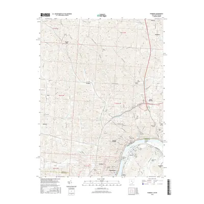
 2011 Pomeroy2011 Print · USGSCovers Cheshire Township, including Middleport, Pomeroy, and other nearby areas
 - 2013 Map of Rutland, 2013 Print
 2013 Rutland2013 Print · USGSCovers Cheshire Township, including Rutland, Hanesville, and other nearby areas
 - 2013 Map of Pomeroy, 2013 Print
 2013 Pomeroy2013 Print · USGSCovers Cheshire Township, including Middleport, Pomeroy, and other nearby areas
 - 2013 Map of Addison, 2013 Print
 2013 Addison2013 Print · USGSCovers Cheshire Township, including Point Pleasant, Addison, and other nearby areas
 - 2013 Map of Cheshire, 2013 Print
 2013 Cheshire2013 Print · USGSCovers Cheshire Township, including Point Pleasant, Middleport, and other nearby areas
 - 2016 Map of Addison, 2016 Print
 2016 Addison2016 Print · USGSCovers Cheshire Township, including Point Pleasant, Addison, and other nearby areas
 - 2016 Map of Cheshire, 2016 Print
 2016 Cheshire2016 Print · USGSCovers Cheshire Township, including Point Pleasant, Middleport, and other nearby areas
 - 2016 Map of Pomeroy, 2016 Print
 2016 Pomeroy2016 Print · USGSCovers Cheshire Township, including Middleport, Pomeroy, and other nearby areas
 - 2016 Map of Rutland, 2016 Print
 2016 Rutland2016 Print · USGSCovers Cheshire Township, including Rutland, Hanesville, and other nearby areas
 - 2019 Map of Addison, 2019 Print
 2019 Addison2019 Print · USGSCovers Cheshire Township, including Point Pleasant, Addison, and other nearby areas
 - 2019 Map of Pomeroy, 2019 Print
 2019 Pomeroy2019 Print · USGSCovers Cheshire Township, including Middleport, Pomeroy, and other nearby areas
 - 2019 Map of Rutland, 2019 Print
 2019 Rutland2019 Print · USGSCovers Cheshire Township, including Rutland, Hanesville, and other nearby areas
 - 2019 Map of Cheshire, 2019 Print
 2019 Cheshire2019 Print · USGSCovers Cheshire Township, including Point Pleasant, Middleport, and other nearby areas
 - 2023 Map of Rutland, 2023 Print
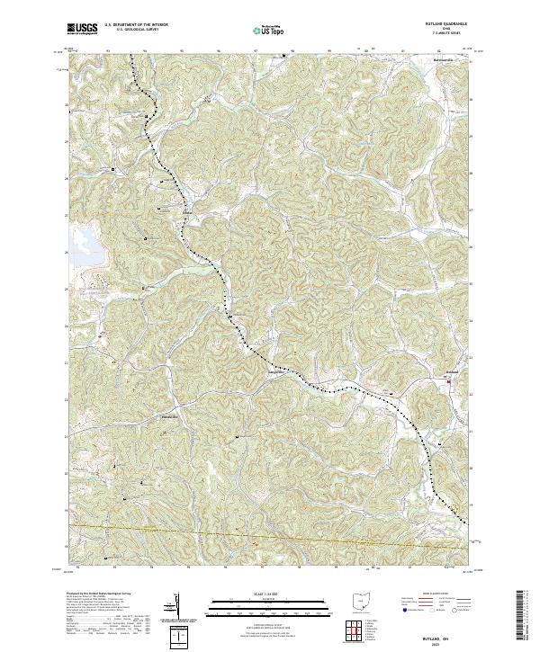 2023 Rutland2023 Print · USGSMeigs County's rural townships and family-named landmarks are documented here in the early twenty-first century. Researchers can trace ancestral sites like Longstretch Cem and Miles Cem or explore settlements at Harrisonville and Langsville.
 - 2023 Map of Addison, 2023 Print
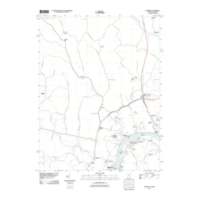
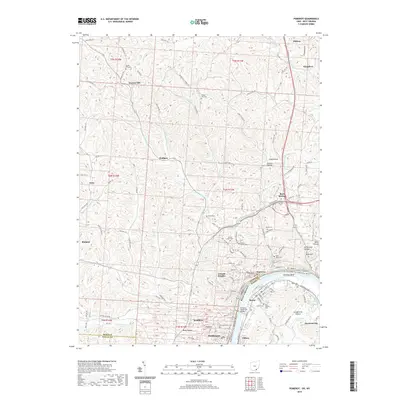
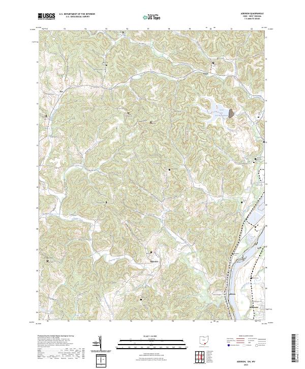 2023 Addison2023 Print · USGSGallia County, Ohio, along the West Virginia border, reveals a landscape of riverfront industry and rural ridge-top life. Researchers can trace family ties at the Roush Cem and Rife Cem or explore the geography around Bulaville and Addison.
 - 2023 Map of Cheshire, 2023 Print
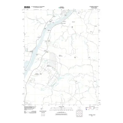
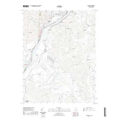
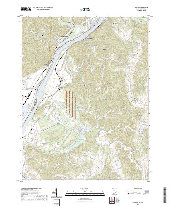 2023 Cheshire2023 Print · USGSThe Ohio River valley at the border of Ohio and West Virginia is shown here in detail during the early 2020s. Researchers can locate family sites and rural landmarks like Clifton - Hill Cem, the Mason County Airport, and the rail junction at Hobson Junction.
 - 2023 Map of Pomeroy, 2023 Print
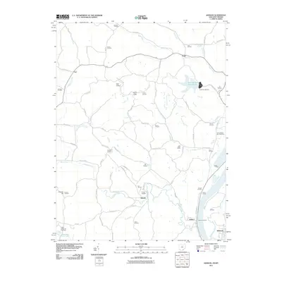
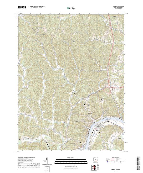 2023 Pomeroy2023 Print · USGSPomeroy and Middleport sit along the Ohio River in this recent survey of Meigs County. Genealogists can trace family burial sites at Saint Josephs Cem and Riverview Cem or locate the Meigs County Courthouse.
End of results
Showing maps 1-20 of 20
Top cities near Cheshire Township
- Point Pleasant historical maps
- Gallipolis historical maps
- Middleport historical maps
- Addison historical maps
- Pomeroy historical maps
- New Haven historical maps
See more
Top neighborhoods of Cheshire Township
Frequently asked questions
- What are the different types of historical maps available for Cheshire Township?
- What is the oldest map of Cheshire Township?
- Where can I purchase historical maps of Cheshire Township for my home or office?
- Where can I download high-res historical maps of Cheshire Township?
- Are there historical topographic maps available for Cheshire Township?
- Is there historical aerial imagery available for Cheshire Township?
- Where are historical maps of Cheshire Township sourced from?