Old Maps of Cheshire Township, Ohio for Hiking & Exploration
Hike through history with 38 historic maps of Cheshire Township. Explore old trails, ghost towns, and forgotten backroads — perfect for outdoor adventurers and local explorers.
- Rediscover forgotten places: Map out old mining camps, roads, and footpaths that no longer exist on modern maps.
- Layer with modern tools: Combine with LiDAR or satellite views to plan hikes through historical terrain.
- Made for exploration: Popular among hikers, overlanders, and local history lovers.
Use these maps to find adventure and explore the hidden past of Cheshire Township.
Cheshire Township, OH maps
(38)- 1907 Map of Pomeroy
 1907 Pomeroy1907 Print · USGSMeigs County at the peak of the river-and-rail era shows a landscape of busy Ohio River towns and remote hillside post offices. Genealogists can trace family footprints near Pomeroy, the Bunker Hill Church, and the dual settlement of Pagetown Downingston PO.3 unique versions available
 - 1908 Map of Point Pleasant
 1908 Point Pleasant1908 Print · USGSThe confluence of the Ohio and Kanawha Rivers comes alive in the Edwardian era, showing a landscape defined by steamboats and steam engines. Genealogists can trace family roots through riverside landings and local institutions like the Ohio Epileptic Home, Hickory Chapel, and the Gallipolis Ferry.3 unique versions available
 - 1926 Map of Point Pleasant, 1958 Print
 1926 Point Pleasant1958 Print · USGSAt the meeting of the Ohio and Kanawha rivers, this 1920s landscape captures a bustling network of river commerce and railroad towns. Researchers can trace historic river crossings like the Gallipolis Ferry and locate early institutional landmarks including the Epileptic Home and State Industrial School.
 - 1929 Map of Point Pleasant
 1929 Point Pleasant1929 Print · USGSThe riverfronts of the Ohio and Kanawha serve as the industrial spine for this region during the late 1920s. Researchers can trace genealogical roots through dozens of local landmarks like Ambrosia PO, Clipper Mill, and the Morning Star School.2 unique versions available
 - 1947 Map of Columbus, 1948 Print
 1947 Columbus1948 Print · USGSCentral Ohio in the late 1940s is captured in this survey, showing the post-war transition of its rail hubs and military airfield expansions. Genealogists and historians can trace the paths of the Ohio Canal, the Pennsylvania RR lines, and the Camp Sherman Military Reservation.
 - 1957 Map of Huntington, 1966 Print
 1957 Huntington1966 Print · USGSThe industrial heart of the Ohio River valley is captured here in the mid-sixties, showing the growth of Huntington and Ashland. Researchers can trace the extensive rail networks of the Chesapeake and Ohio RR and locate sites like the Chief Cornstalk Hunting Ground.3 unique versions available
 - 1958 Map of Cheshire, 1959 Print
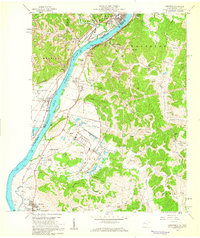 1958 Cheshire1959 Print · USGSThe Ohio River valley near Point Pleasant hummed with mid-century industry and institutional growth along the rail lines. Researchers can trace the footprints of the Lakin State Hospital, the Clifton F McClintic State Wildlife Station, and numerous local landmarks like Spillman Ch.
 - 1960 Map of Huntington
 1960 Huntington1960 Print · USGSThe tri-state river valley thrived in the late fifties as a hub of heavy industry and Appalachian rail transit. Genealogists and historians can trace the connection between river towns like Ashland and Portsmouth or locate family homesteads near Coleman Ridge.
 - 1960 Map of Addison, 1961 Print
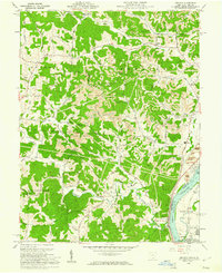 1960 Addison1961 Print · USGSGallia County and the Ohio River riverfront appear in the early sixties at a peak of coal and power production. Genealogists can trace family names through landmarks like McCarty Cem and Roush Cem or the rural settlement at Eno.4 unique versions available
 - 1960 Map of Rutland, 1961 Print
 1960 Rutland1961 Print · USGSMeigs County's coal and rail landscape is captured here in the early sixties as industrial strip mining expanded across the hills. Researchers can trace family burial grounds like McCaskey Cem and follow the New York Central line through Langsville and Rutland.4 unique versions available
 - 1960 Map of Pomeroy, 1961 Print
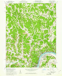 1960 Pomeroy1961 Print · USGSThe riverfront towns of Pomeroy and Middleport are shown at the height of their industrial era when three major railroads still serviced the Ohio River banks. Genealogists can trace family landmarks like Sacred Heart Ch, St Josephs Cem, and the County Fairgrounds.4 unique versions available
 - 1961 Map of Columbus
 1961 Columbus1961 Print · USGSCentral and Southern Ohio are captured here in the early sixties, as the region's industrial rail hubs and military bases reached their peak. Genealogists and historians can trace the transition from urban Columbus to rural townships along the Scioto River, locating Lockbourne USAF and old junctions like Washington Court House.
 - 1962 Map of Columbus
 1962 Columbus1962 Print · USGSCentral Ohio during the early sixties reveals a transition from the industrial corridors of Columbus to the forested ridges of the south. Genealogists and historians can trace the rail networks of the Baltimore & Ohio RR and find local landmarks like Washington Court House and Camp Sherman Military Reservation.
 - 1967 Map of Columbus, 1969 Print
 1967 Columbus1969 Print · USGSCentral Ohio during the late sixties serves as a vital corridor of rail and aviation, from the industrial streets of Springfield to the hangar lines of Lockbourne Air Force Base. Genealogists and researchers can trace the growth of towns like Circleville and London or locate rural landmarks such as St Paul church and the London Correctional Institution.2 unique versions available
 - 1968 Map of Cheshire, 1970 Print
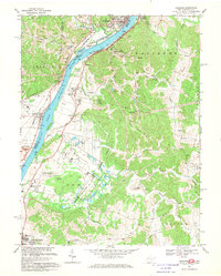 1968 Cheshire1970 Print · USGSThe Ohio River valley thrives in the late 1960s as a hub of tri-railroad transport and state-run institutions. Researchers can trace the extensive Penn Central lines or locate historic sites like Lakin State Hospital and Feniel Ch.4 unique versions available
 - 1980 Map of Wellston, 1982 Print
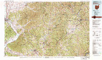 1980 Wellston1982 Print · USGSThe hill country of south-central Ohio in the early eighties shows a landscape of expansive state forests and deep-rooted river towns. Genealogists and historians can trace rural heritage through sites like Buckeye Furnace State Memorial and Mount Zion Cemetery.
 - 1981 Map of Ironton, 1982 Print
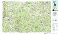 1981 Ironton1982 Print · USGSThe tri-state river valley at the start of the eighties shows a landscape shaped by heavy industry, atomic energy, and sprawling national forests. Researchers can trace the legacy of iron production at Harrison Furnace or follow the historic rail lines of the C & O RR and N & W RR.
 - 1992 Map of Pomeroy, 1995 Print
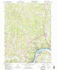 1992 Pomeroy1995 Print · USGSThe Ohio River valley bustles with riverfront activity in the early nineties, connecting the hilltop mines to the industrial waterfront. Genealogists can trace family names at Rock Springs Cem and Sacred Heart Ch or locate the old Drive-in Theater near the Mason-Pomeroy crossing.
 - 2010 Map of Rutland, 2010 Print
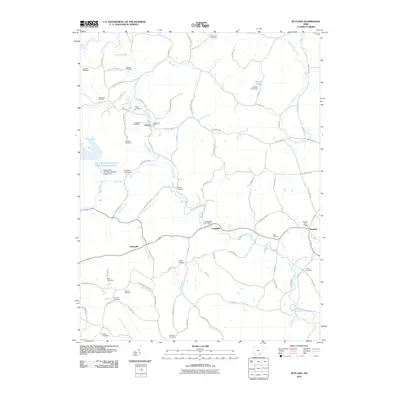 2010 Rutland2010 Print · USGSMeigs County at the start of the new millennium reveals a landscape of quiet rural settlements and deep genealogical roots. Researchers can trace family history through more than a dozen local burial sites like White Oak Cemetery and Miles Cemetery, or locate the historic Dexter Post Office along Leading Creek.
 - 2011 Map of Cheshire, 2011 Print
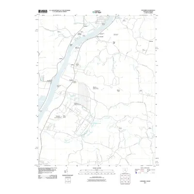 2011 Cheshire2011 Print · USGSThe Ohio River valley at the West Virginia border features a landscape of rail yards and river landings. Genealogists can trace family history through sites like the West Columbia Hill Cemetery, Hobson Yards, and the Zuspan Cemetery tucked along Tenmile Creek.
 - 2011 Map of Addison, 2011 Print
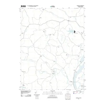 2011 Addison2011 Print · USGSThe Ohio River borderlands near the West Virginia-Ohio line appear here in the early twenty-first century as a mix of river-fed industry and deep-rooted rural life. Genealogists and local historians can trace family burial grounds like Van Zant Cemetery and McCarty Cemetery, or locate old landmarks like the Little Kyger Grange.
 - 2011 Map of Pomeroy, 2011 Print
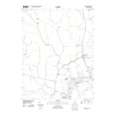 2011 Pomeroy2011 Print · USGSMeigs County at the turn of the decade shows a landscape where the Ohio River drives the local economy. Genealogists and historians can trace family roots through several rural sites like Hiland Cemetery or the Meigs County Fairgrounds.
 - 2013 Map of Rutland, 2013 Print
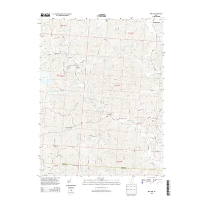 2013 Rutland2013 Print · USGSMeigs County at the start of the 2010s reveals a landscape of coal mining operations and quiet rural hamlets along Leading Creek. Researchers can locate numerous family burial sites like Vonschritz Cem and Coy Hill Cem or trace the reach of Meigs Mine Number One.
 - 2013 Map of Pomeroy, 2013 Print
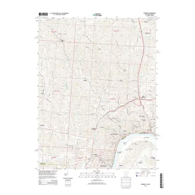 2013 Pomeroy2013 Print · USGSThe riverfront communities along the Ohio River are shown in high detail at the start of the twenty-first century. Genealogists and historians can trace family locations through numerous sites like Sacred Heart Cem, Middleport, and Hartford City.
 - 2013 Map of Addison, 2013 Print
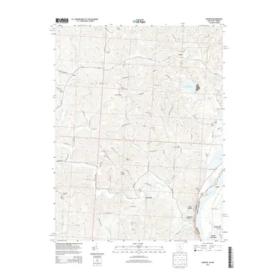 2013 Addison2013 Print · USGSThe Ohio River valley and its surrounding ridges come into focus here during the early twenty-first century. Genealogists and local historians can trace family roots through numerous landmarks, from Kyger Grange to many small burial grounds like McCarty Cem and Roush Cem.
Showing maps 1-25 of 38
Top cities near Cheshire Township
- Point Pleasant historical maps
- Gallipolis historical maps
- Middleport historical maps
- Addison historical maps
- Pomeroy historical maps
- New Haven historical maps
See more
Top neighborhoods of Cheshire Township
Frequently asked questions
- What are the different types of historical maps available for Cheshire Township?
- What is the oldest map of Cheshire Township?
- Where can I purchase historical maps of Cheshire Township for my home or office?
- Where can I download high-res historical maps of Cheshire Township?
- Are there historical topographic maps available for Cheshire Township?
- Is there historical aerial imagery available for Cheshire Township?
- Where are historical maps of Cheshire Township sourced from?