Old Maps of Raccoon Township, Ohio
Explore 32 old maps of Raccoon Township, spanning from 1906 to today. These high-resolution historic maps reveal how streets, neighborhoods, landmarks, and natural features evolved over time — perfect for genealogy, metal detecting, research, and local history exploration.
What you can do with these maps:
- See how Raccoon Township changed over time: Compare historical maps to modern-day views to trace roads, homesites, rail lines & more.
- View detailed metadata: Each map includes creators, publishers, year, scale, and archive source.
- Overlay maps with satellite & LiDAR: Visualize the past alongside modern tools to explore terrain & human change.
- Trusted historical sources: Maps sourced from the USGS, Library of Congress, and other archives.
- Access maps your way: View online, download high-res files, or order prints for personal or research use.
Start exploring old maps of Raccoon Township to uncover forgotten places, hidden landmarks, and the deep history beneath your feet.
Raccoon Township, OH maps
(32)- 1906 Map of Bidwell, 1954 Print
 1906 Bidwell1954 Print · USGSGallia County at the turn of the century is a network of small townships and valley settlements connected by the Gallipolis and Chillicothe RR. Researchers can trace rural life through a wealth of local landmarks like Centerville Thurman PO, Ghee Bridge, and the Tomato Valley School.
 - 1908 Map of Bidwell
 1908 Bidwell1908 Print · USGSGallia County at the turn of the century is a landscape of creek-side hamlets and hill-country schools. Genealogists can trace family roots through numerous local landmarks like Tomato Valley School, Tabor Church, and the Centerville Thurman P O post office.2 unique versions available
 - 1957 Map of Huntington, 1966 Print
 1957 Huntington1966 Print · USGSThe industrial heart of the Ohio River valley is captured here in the mid-sixties, showing the growth of Huntington and Ashland. Researchers can trace the extensive rail networks of the Chesapeake and Ohio RR and locate sites like the Chief Cornstalk Hunting Ground.3 unique versions available
 - 1960 Map of Huntington
 1960 Huntington1960 Print · USGSThe tri-state river valley thrived in the late fifties as a hub of heavy industry and Appalachian rail transit. Genealogists and historians can trace the connection between river towns like Ashland and Portsmouth or locate family homesteads near Coleman Ridge.
 - 1961 Map of Rodney, 1963 Print
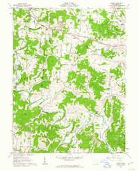 1961 Rodney1963 Print · USGSGallia County's rural townships are documented in the early sixties, showing a landscape defined by the winding Raccoon Creek. Genealogists and historians can trace family locations through numerous sites like Hulbert Cem, Asbury Ch, and the small settlement of Northup.3 unique versions available
 - 1961 Map of Rio Grande, 1963 Print
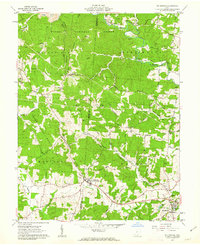 1961 Rio Grande1963 Print · USGSGallia and Jackson counties in the early sixties reveal a landscape of college life, rural industry, and deep-rooted family history. Genealogists can locate family names across Bethesda Cem, trace the grounds of Rio Grande College, or find old stream crossings like Ghee Bridge.3 unique versions available
 - 1961 Map of Vinton, 1963 Print
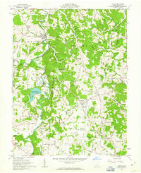 1961 Vinton1963 Print · USGSSettled along the winding Raccoon Creek in the early sixties, this Gallia County landscape is marked by coal mining and small rural villages. Trace family roots at Vinton Memorial Cemetery or explore landmarks like Woods Mill and Bidwell.2 unique versions available
 - 1961 Map of Patriot, 1963 Print
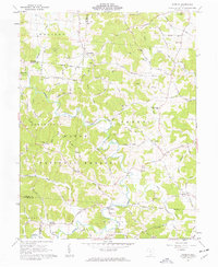 1961 Patriot1963 Print · USGSGallia County in the early sixties remains a landscape of remote ridges and hollows within the Wayne National Forest. Researchers can trace family history through numerous landmark churches like Corinth Ch and cemeteries including Wagner Cem and Siloam Cem.3 unique versions available
 - 1975 Map of Rodney, 1977 Print
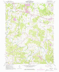 1975 Rodney1977 Print · USGSThe winding waters of Raccoon Creek define the Gallia County countryside in the mid-1970s. Local historians can trace old community hubs at Adamsville, Cora, and Rodney, alongside family burial grounds like Hulbert Cem and Ouster Cem.
 - 1981 Map of Ironton, 1982 Print
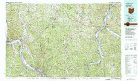 1981 Ironton1982 Print · USGSThe tri-state river valley at the start of the eighties shows a landscape shaped by heavy industry, atomic energy, and sprawling national forests. Researchers can trace the legacy of iron production at Harrison Furnace or follow the historic rail lines of the C & O RR and N & W RR.
 - 2002 Map of Rodney, 2006 Print
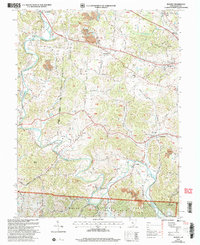 2002 Rodney2006 Print · USGSGallia County at the turn of the millennium shows a landscape where public lands and industry meet along the bends of Raccoon Creek. Genealogists can locate family sites like the Hulbert Cem, Alexander Ch, and the old Green Sch.
 - 2002 Map of Patriot, 2006 Print
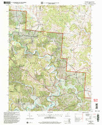 2002 Patriot2006 Print · USGSGallia County at the turn of the millennium shows a landscape defined by the winding waters of Symmes Creek and the wooded reaches of the Wayne National Forest. Researchers can trace old family sites and rural landmarks like the McDaniel Cem, Siloam Cem, and the village of Patriot.
 - 2010 Map of Vinton, 2010 Print
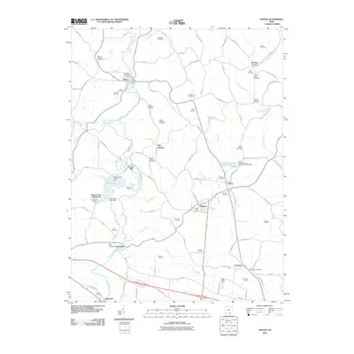 2010 Vinton2010 Print · USGSGallia County's rural townships are documented here during the early twenty-first century, showing a landscape shaped by the winding Raccoon Creek. Genealogists can trace family locations through numerous sites like Morgan Center Cemetery, Woods Mill, and the Bidwell Post Office.
 - 2010 Map of Rio Grande, 2010 Print
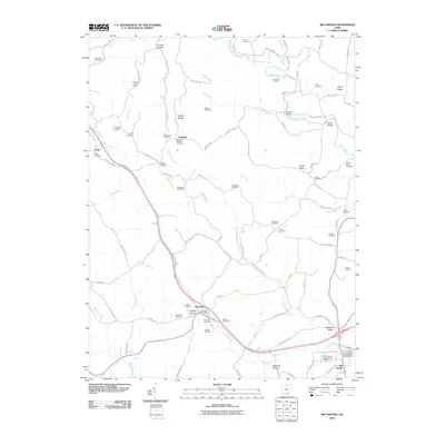 2010 Rio Grande2010 Print · USGSGallia County's rural landscape is captured here in the early twenty-first century, centered on the village of Rio Grande. Researchers can locate dozens of ancestral burial grounds like Bethlehem Cemetery and trace the paths of Little Raccoon Creek and Indian Creek.
 - 2011 Map of Rodney, 2011 Print
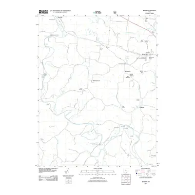 2011 Rodney2011 Print · USGSGallia County at the start of the 2010s reveals a landscape of traditional creek-side settlements and modern residential growth. Genealogists and historians can trace family roots through several local burial sites and landmarks like the Cora Covered Bridge, Rose Cemetery, and Kerr Post Office.
 - 2011 Map of Patriot, 2011 Print
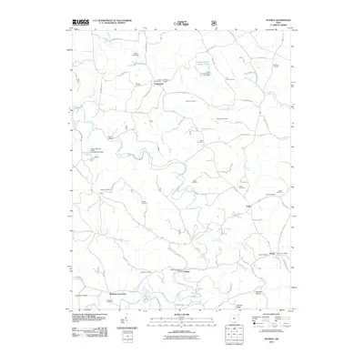 2011 Patriot2011 Print · USGSGallia County in the early twenty-first century remains a landscape of quiet crossroads and historic family landmarks. Genealogists and local historians can trace legacy sites like the Cadmus Covered Bridge, Tyn Rhos Cemetery, and the Patriot Post Office.
 - 2013 Map of Vinton, 2013 Print
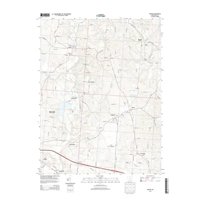 2013 Vinton2013 Print · USGSGallia County settlements and rural cemeteries are documented in this 2013 survey of the southeastern Ohio landscape. Researchers can trace family sites like Lower McCarley Cem and Vinton Memorial Cem or locate old community hubs at Woods Mill and Bidwell.
 - 2013 Map of Rodney, 2013 Print
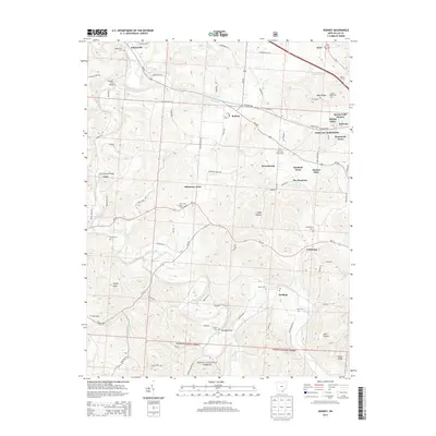 2013 Rodney2013 Print · USGSGallia County in the early twenty-first century remains a landscape of deep hollows and ridges anchored by Raccoon Creek. Genealogists and local historians can trace family locations through numerous rural sites like Centenary Cem, Asbury Cem, and the Cora Covered Bridge.
 - 2013 Map of Rio Grande, 2013 Print
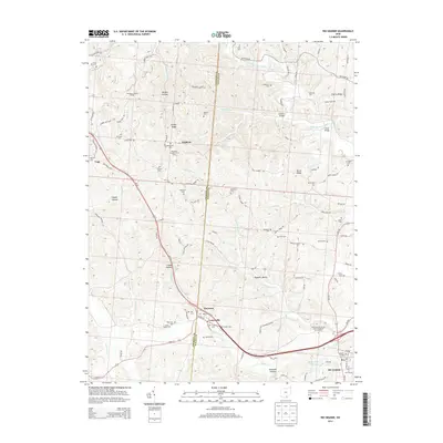 2013 Rio Grande2013 Print · USGSThe rural landscapes of Gallia and Jackson Counties are documented here in the early twenty-first century, centered on the village of Rio Grande. Genealogists and historians can trace numerous family-named landmarks and cemeteries, from Lackey Cem to the Richards Brothers Fruit Farm.
 - 2013 Map of Patriot, 2013 Print
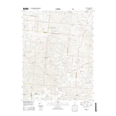 2013 Patriot2013 Print · USGSGallia County and the southern reaches of the Wayne National Forest are captured here in the early twenty-first century. Researchers can locate numerous family-named burial grounds like Tyn Rhos Cem and historic landmarks such as the Cadmus Covered Bridge.
 - 2016 Map of Rodney, 2016 Print
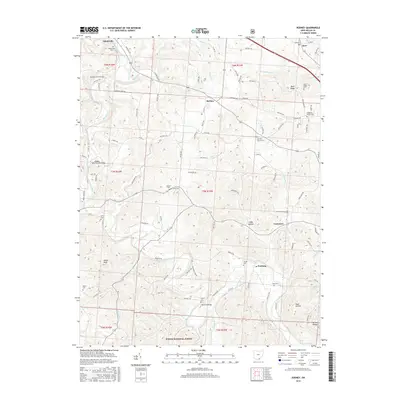 2016 Rodney2016 Print · USGSGallia County's hilly terrain and river crossings are detailed here during the mid-2010s. Researchers can locate historic landmarks and family sites like the Cora Covered Bridge, Fairfield Church Cem, and Poplar Knob.
 - 2016 Map of Rio Grande, 2016 Print
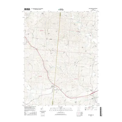 2016 Rio Grande2016 Print · USGSThe Gallia County hill country is shown here in the mid-2010s, centered on the historic village of Rio Grande. Researchers can locate dozens of ancestral burial sites like New Zion Cem and trace the campus layout of the Univ of Rio Grande.
 - 2016 Map of Vinton, 2016 Print
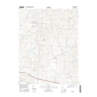 2016 Vinton2016 Print · USGSGallia County's rural landscape is captured here in the mid-2010s, centered on the historic communities along Raccoon Creek. Genealogists and local historians can trace family ties through numerous burial sites like Lower McCarley Cem, Shields Cem, and Vinton Memorial Cem.
 - 2016 Map of Patriot, 2016 Print
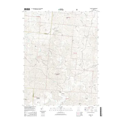 2016 Patriot2016 Print · USGSGallia County's rural landscape is shown here in the mid-2010s, where small settlements and forest trails meet. Genealogists can locate numerous burial sites like Tyn Rhos Cem and Siloam Cem, or trace the area surrounding the Cadmus Covered Bridge.
 - 2019 Map of Rodney, 2019 Print
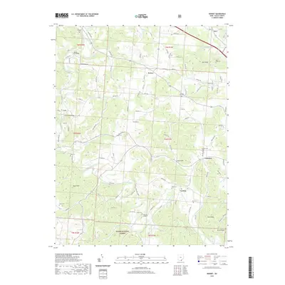 2019 Rodney2019 Print · USGSGallia County's rural landscape is captured here in the late twenty-teens, showing a region of deep hollows and forested ridges. Researchers can locate many small burial sites like Asbury Cem and historic crossings such as the Cora Covered Bridge.
Showing maps 1-25 of 32
Top cities near Raccoon Township
- Jackson historical maps
- Wellston historical maps
- Gallipolis historical maps
- Oak Hill historical maps
- Rio Grande historical maps
- Coalton historical maps
See more
Top neighborhoods of Raccoon Township
- Adamsville historical maps
- Edoma Trail Subdivision historical maps
- Harrisburg historical maps
- Woods Mill historical maps
Frequently asked questions
- What are the different types of historical maps available for Raccoon Township?
- What is the oldest map of Raccoon Township?
- Where can I purchase historical maps of Raccoon Township for my home or office?
- Where can I download high-res historical maps of Raccoon Township?
- Are there historical topographic maps available for Raccoon Township?
- Is there historical aerial imagery available for Raccoon Township?
- Where are historical maps of Raccoon Township sourced from?