2020s Maps of Geauga County, Ohio
Explore 15 historic maps of Geauga County from the 2020s. These maps offer a rare glimpse into what life looked like during the 2020s — showing old roads, neighborhoods, homes, and landmarks that have changed or disappeared over time.
Whether you're researching your family's past, planning a metal detecting trip, or studying how Geauga County's landscape evolved across the 2020s, these high-resolution maps are a powerful tool for exploring the history of this region.
- Focus on a specific era: All maps on this page are from the 2020s, giving you a focused view of this time period.
- See what’s changed: Compare century-old streets, trails, and buildings to today's modern landscape using overlays and satellite layers.
- Research with precision: Use these maps for genealogy, historical research, land use analysis, or educational projects.
- View, download, or print: Maps are fully viewable online in high resolution, and can be downloaded or printed for your own records.
Start exploring Geauga County's history through authentic maps from the 2020s. This is your window into the past.
Geauga County, OH maps
(15)- 2023 Map of South Russell, 2023 Print
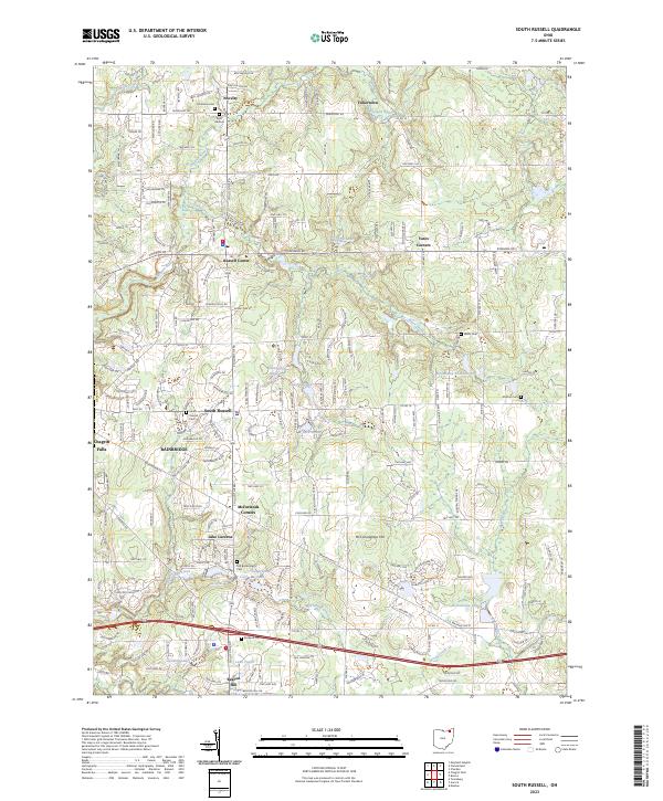 2023 South Russell2023 Print · USGSGeauga County's suburban and rural transition is on display here in the early twenty-first century, showing a landscape shaped by the Chagrin River. Researchers can trace local history through numerous burial grounds like Munn Cem and South Russell Cem or explore established hamlets such as Novelty and Yates Corners.
 - 2023 Map of Garrettsville, 2023 Print
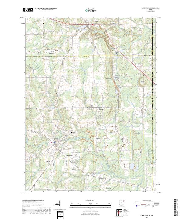 2023 Garrettsville2023 Print · USGSGarrettsville and the tri-county borderlands of Portage, Geauga, and Trumbull are documented here in the early twenty-first century. Genealogists and local historians can trace rural burial sites like Tinker Cem and Park Cem alongside geologic landmarks such as Nelson Ledge.
 - 2023 Map of Burton, 2023 Print
 2023 Burton2023 Print · USGSGeauga County's plateau landscape is captured here in the 2020s, showing the early flow of the Cuyahoga River and the settlement at Burton. Researchers can locate Amish Cem, the Kent State University Geauga Campus, and the small community of Welshfield.
 - 2023 Map of Chesterland, 2023 Print
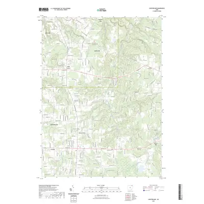 2023 Chesterland2023 Print · USGSNortheast Ohio's wooded hillsides and headwaters are captured in this modern survey of the Lake and Geauga county line. Researchers can trace family history through a notable cluster of burial grounds, including Old Settlers Cem, King Street Cem, and Chester Center Cem.
 - 2023 Map of Painesville, 2023 Print
 2023 Painesville2023 Print · USGSPainesville and the surrounding townships are captured in this recent survey, showcasing the area's development along the Grand River. Genealogists can trace local history through Evergreen Cem, Brakeman Cem, and the Lake County Courthouse West Annex.
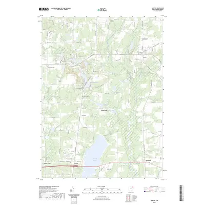
 - 2023 Map of Mantua, 2023 Print
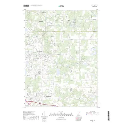
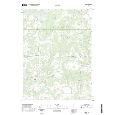 2023 Mantua2023 Print · USGSNorthern Portage County is shown here as a landscape of river-fed wetlands and historic college grounds. Researchers can trace early family sites at Mantua Center or find local landmarks like Hiram College and Vaughn Cem.
 - 2023 Map of East Claridon, 2023 Print
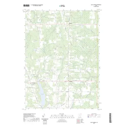 2023 East Claridon2023 Print · USGSGeauga County's agricultural heartland is documented here in the early 2020s, showing the enduring rural character of the Western Reserve. Genealogists can locate family sites near East Claridon Cem, Huntsburg Center Cem, or along the East Branch Cuyahoga River.
 - 2023 Map of Chagrin Falls, 2023 Print
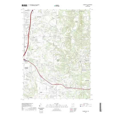 2023 Chagrin Falls2023 Print · USGSModern-day Cuyahoga County comes into focus as a blend of established villages and quiet river valleys. Researchers can trace family sites at Grove Hill Cemetery or explore landmarks like Ursuline College and the Chagrin Falls Park.
 - 2023 Map of Chardon, 2023 Print
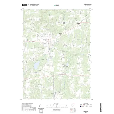 2023 Chardon2023 Print · USGSModern-day Geauga County remains centered on the historic seat of Chardon and its surrounding glacial lake landscape. Researchers can trace local genealogy through sites like the Geauga County Courthouse and several burial grounds, including Hambden Township Cem and Hill Cem.
 - 2023 Map of Twinsburg, 2023 Print
 2023 Twinsburg2023 Print · USGSThe suburbs southeast of Cleveland come into sharp focus in this recent survey of the Cuyahoga and Summit County line. Local researchers can trace residential growth and land use around Geauga Lake and find landmarks like Crown Hill Cem and Mausoleum.
 - 2023 Map of Aurora, 2023 Print
 2023 Aurora2023 Print · USGSAurora and Streetsboro are captured here in the early 2020s, showing a landscape defined by glacial lakes and the winding Aurora Branch. Researchers can locate family burial sites at Old Southwest Cemetery and Henry Cemetery or trace the drainage of the Cuyahoga River through Hollow Lakes.
 - 2023 Map of Mayfield Heights, 2023 Print
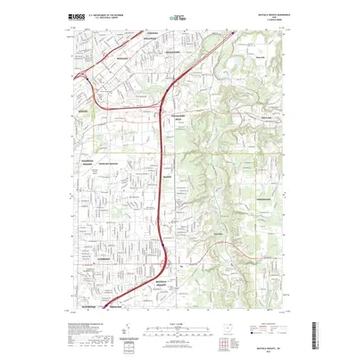 2023 Mayfield Heights2023 Print · USGSThe eastern suburbs of Cleveland meet the wooded Chagrin River valley in this detailed modern survey. Genealogists and historians can trace institutional landmarks like the Rabbinical College Telshe and numerous burial grounds including Whitehaven Memorial Park and Mayfield Cem.
 - 2023 Map of Middlefield, 2023 Print
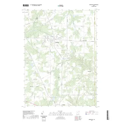 2023 Middlefield2023 Print · USGSGeauga County’s agricultural and industrial character is preserved in this recent survey of the Middlefield and Parkman areas. Local historians can trace family roots through numerous burial sites like Middlefield Center Cem and explore the geography of Parkman Gorge.
 - 2023 Map of Mentor, 2023 Print
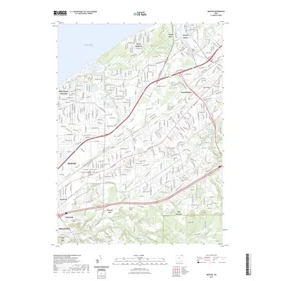 2023 Mentor2023 Print · USGSLake County's shoreline and residential corridors are shown here in the early 2020s, from the harbor docks to the Garfield estate. Local researchers can trace the grounds of Lake Erie College, Mentor Municipal Cem, and the James A Garfield National Historic Site.
 - 2023 Map of Thompson, 2023 Print
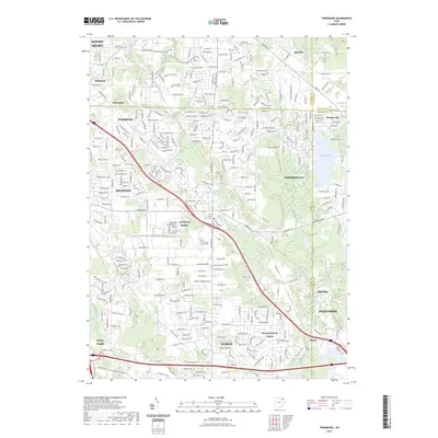
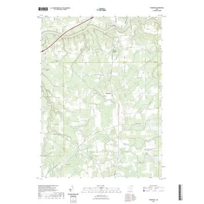 2023 Thompson2023 Print · USGSThe northeastern Ohio borderlands come alive in the 2020s as a landscape of rural airfields and deep-rooted cemeteries. Genealogists and local historians can trace burial sites like Evergreen and Maple Grove Cem or locate the historic Saint Patrick parish.
End of results
Showing maps 1-15 of 15
Top cities of Geauga County
- Chardon historical maps
- Hambden Township historical maps
- South Russell historical maps
- Bainbridge Township historical maps
- Burton Township historical maps
Frequently asked questions
- What are the different types of historical maps available for Geauga County?
- What is the oldest map of Geauga County?
- Where can I purchase historical maps of Geauga County for my home or office?
- Where can I download high-res historical maps of Geauga County?
- Are there historical topographic maps available for Geauga County?
- Is there historical aerial imagery available for Geauga County?
- Where are historical maps of Geauga County sourced from?