Old Maps of Troy Township, Ohio for Academic Research
Study the evolution of Troy Township with 36 high-resolution historic maps. Whether you're teaching, researching, or modeling changes in land use, these maps provide essential visual documentation of urban, environmental, and geographic change.
- Analyze long-term change: Track patterns in development, transportation, and natural features.
- Ideal for environmental or urban studies: Support academic projects with primary historical map data.
- Use in the classroom or lab: Educators and researchers rely on these maps to bring historical context to life.
These maps are a powerful tool for teaching, research, and visualizing how Troy Township has changed over the decades.
Troy Township, OH maps
(36)- 1905 Map of Garrettsville, 1958 Print
 1905 Garrettsville1958 Print · USGSNortheastern Ohio is shown here at the start of the twentieth century, during a period of heavy rail and traction expansion across Geauga and Portage counties. Genealogists can trace early homesteads near Hiram Rapids, Nelson, and family-named landmarks like Newels Ledge or Steele Crossing.
 - 1907 Map of Garrettsville, 1943 Print
 1907 Garrettsville1943 Print · USGSThe Western Reserve landscape of the early 1900s comes alive in this survey of Geauga and Portage counties. Trace the vanished routes of the Eastern Ohio Traction line or locate family-named settlements like Bundysburg and Smith Crossing.2 unique versions available
 - 1950 Map of Cleveland
 1950 Cleveland1950 Print · USGSCovers Troy Township, including Cleveland, Akron, and other nearby areas
 - 1953 Map of Burton, 1955 Print
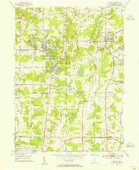 1953 Burton1955 Print · USGSGeauga County is captured during a period of rural stability in the early fifties, centered on the village of Burton and the upper Cuyahoga River. Researchers can locate family landmarks like Welton Cem, St Helen Ch, and the sprawling Punderson Lake State Park.2 unique versions available
 - 1956 Map of Cleveland, 1967 Print
 1956 Cleveland1967 Print · USGSNortheast Ohio and Western Pennsylvania are shown at their industrial height during the mid-fifties, from the steel mills to the lakeshore. Researchers can trace the massive Ravenna Arsenal, the Ohio Turnpike, and vanished rail sidings of the B & O RR.3 unique versions available
 - 1959 Map of Mantua, 1960 Print
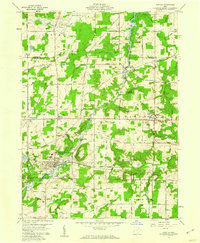 1959 Mantua1960 Print · USGSNorthern Portage County is shown at a mid-century crossroads as the village of Hiram and its historic Hiram College expand. Genealogists and local historians can trace family-named routes like Dudley Road or locate the Mennonite Ch and Westlawn Cem.3 unique versions available
 - 1959 Map of Garrettsville, 1960 Print
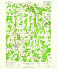 1959 Garrettsville1960 Print · USGSGarrettsville and the surrounding townships are captured in the late fifties, showing a landscape defined by the Western Reserve survey grid and rocky ledges. Researchers can locate several family cemeteries, the Erie RR line, and landmarks like Nelson Ledge State Park.3 unique versions available
 - 1959 Map of Middlefield, 1961 Print
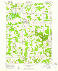 1959 Middlefield1961 Print · USGSGeauga County's agricultural heartland is documented here in the late fifties, centered on the railroad crossroads of Middlefield. Researchers can trace rural lineages through sites like Burroughs Cem, the Shrine of Maria-Poch, and Burton Station.3 unique versions available
 - 1962 Map of Cleveland
 1962 Cleveland1962 Print · USGSNortheast Ohio and the Pennsylvania borderlands appear here during the industrial peak of the early sixties. Genealogists and historians can trace the expansive rail lines of the Nickel Plate Road and the growth of suburbs from Parma to Lyndhurst.
 - 1966 Map of Burton, 1968 Print
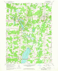 1966 Burton1968 Print · USGSGeauga County in the mid-sixties reveals a landscape of water management and rural community life centered around the village of Burton. Genealogists and local historians can trace family locations near Welton Cem, Shadyside Cem, and the old Troy Sch.2 unique versions available
 - 1986 Map of Cleveland South
 1986 Cleveland South1986 Print · USGSNortheast Ohio in the mid-eighties shows the expanding reach of the Akron and Cleveland suburbs into the surrounding countryside. Trace the industrial rail networks of the Erie Lackawanna RR or find local landmarks like Kent State University and the Ravenna Arsenal.
 - 1994 Map of Cleveland South
 1994 Cleveland South1994 Print · USGSThe metropolitan corridor between Akron and Cleveland is shown here in the mid-nineties during a period of significant suburban growth. Researchers can trace the path of the Ohio Turnpike or explore expansive recreation lands like West Branch State Park.
 - 1994 Map of Mantua, 1997 Print
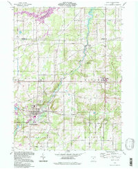 1994 Mantua1997 Print · USGSPortage County in the mid-nineties remains a landscape of historic academic centers and preserved river corridors. Researchers can trace family roots at Westlawn Cem, explore the grounds of Hiram College, or locate the old Hiram Rapids settlement.
 - 1994 Map of Garrettsville, 1997 Print
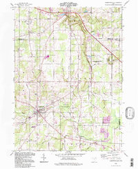 1994 Garrettsville1997 Print · USGSGarrettsville and the surrounding townships of Portage and Geauga counties are captured here in the late twentieth century. Genealogists and local historians can trace family-named sites like Abbot Cem and Harrington Cem or explore the distinct geology of Nelson Ledge.
 - 1994 Map of Middlefield, 1997 Print
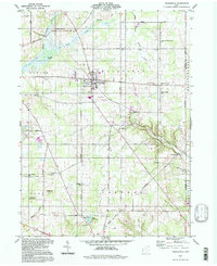 1994 Middlefield1997 Print · USGSGeauga County’s rural townships are captured here in the mid-1990s, showing a landscape defined by headwater streams and scattered crossroads. Researchers can trace family history through sites like Burroughs Cem, the Shrine of Maria-Poch, and the old rail corridor at Burton Station.
 - 1994 Map of Burton, 2000 Print
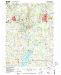 1994 Burton2000 Print · USGSGeauga County in the 1990s showcases a blend of established village centers and protected natural areas. Genealogists and historians can trace family locations near Welton Cem and Welshfield, or explore the development around Punderson Lake State Park.
 - 2010 Map of Mantua, 2010 Print
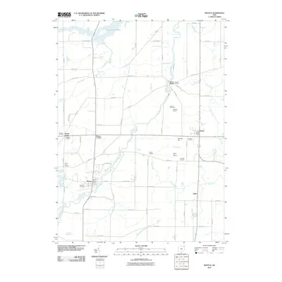 2010 Mantua2010 Print · USGSThe Cuyahoga River valley in Portage County is documented here during the early twenty-first century, showing a landscape of rural hamlets and winding waterways. Genealogists and local historians can locate several historic burial grounds like Westlawn Cemetery and Vaughn Cemetery, alongside the village of Hiram.
 - 2010 Map of Middlefield, 2010 Print
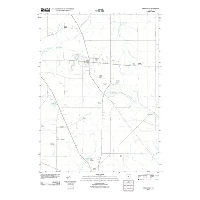 2010 Middlefield2010 Print · USGSGeauga and Trumbull counties are shown in detail during the early 21st century, where farming roots and modern aviation converge. Genealogists can trace family landmarks like the Amish Cemetery, Yoder Cemetery, and established sites like Zaylor Farm or Bundysburg.
 - 2010 Map of Garrettsville, 2010 Print
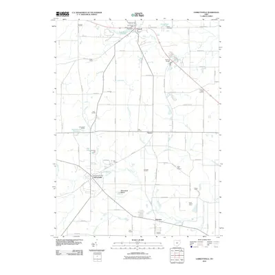 2010 Garrettsville2010 Print · USGSGarrettsville and the surrounding townships in 2010 exhibit a landscape deeply rooted in its early burial grounds and river-fed industry. Genealogists and historians can locate numerous family-named landmarks, from Mumford Cemetery to the Phalanx Quarry and Minnehaha Falls.
 - 2010 Map of Burton, 2010 Print
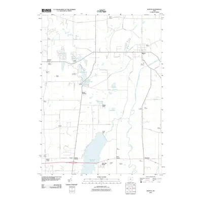 2010 Burton2010 Print · USGSGeauga County at the start of the new millennium remains a landscape of quiet crossroads and protected parklands. Genealogists and historians can trace family ties through Amish Cemetery, Welton Cemetery, and historic hamlets like Welshfield or Auburn Corners.
 - 2013 Map of Burton, 2013 Print
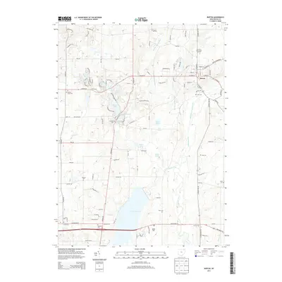 2013 Burton2013 Print · USGSGeauga County's lake-rich landscape is captured here in the early twenty-first century, centered on the historic village of Burton. Researchers can trace old family burial grounds like Welton Cem, explore the shoreline of La Due Reservoir, or locate the Amish Cem near the eastern township line.
 - 2013 Map of Mantua, 2013 Print
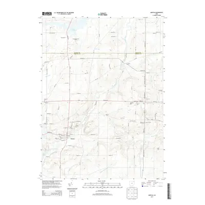 2013 Mantua2013 Print · USGSPortage County at the start of the 2010s reveals a mix of collegiate life and quiet agricultural roots. Researchers can trace family history through local sites like Hiram Coll and numerous cemeteries including Eastlawn Cem and Vaughn Cem.
 - 2013 Map of Garrettsville, 2013 Print
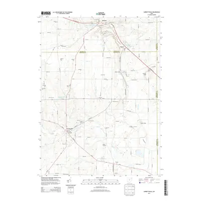 2013 Garrettsville2013 Print · USGSNortheastern Ohio’s agricultural and village life is captured here during the early twenty-first century as family farms and local airfields dot the landscape. Genealogists can locate several burial sites including Old Cem and Mumford Cem, while tracing the course of the Grand River.
 - 2013 Map of Middlefield, 2013 Print
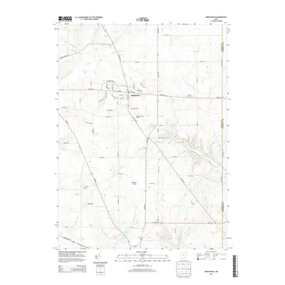 2013 Middlefield2013 Print · USGSMiddlefield and the surrounding farm country are captured here in the early twenty-first century. Genealogists and researchers can find numerous burial sites such as Yoder Cemetery and Burroughs Cemetery, alongside natural landmarks like Parkman Gorge.
 - 2016 Map of Middlefield, 2016 Print
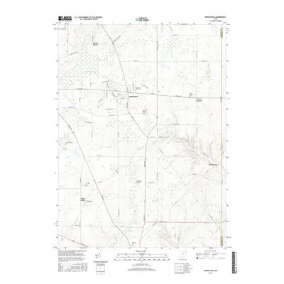 2016 Middlefield2016 Print · USGSMiddlefield and the surrounding farm country are shown here in the mid-2010s at the intersection of the Grand and Cuyahoga headwaters. Researchers can locate numerous local burial sites like Middlefield Center Cem and Burroughs Cem or trace small settlements such as Bundysburg and Hayes Corners.
Showing maps 1-25 of 36
Top cities near Troy Township
- Kent historical maps
- Willoughby historical maps
- Streetsboro historical maps
- Aurora historical maps
- Ravenna historical maps
- Newton historical maps
See more
Top neighborhoods of Troy Township
Frequently asked questions
- What are the different types of historical maps available for Troy Township?
- What is the oldest map of Troy Township?
- Where can I purchase historical maps of Troy Township for my home or office?
- Where can I download high-res historical maps of Troy Township?
- Are there historical topographic maps available for Troy Township?
- Is there historical aerial imagery available for Troy Township?
- Where are historical maps of Troy Township sourced from?