Old Maps of Bowersville, Ohio for Academic Research
Study the evolution of Bowersville with 13 high-resolution historic maps. Whether you're teaching, researching, or modeling changes in land use, these maps provide essential visual documentation of urban, environmental, and geographic change.
- Analyze long-term change: Track patterns in development, transportation, and natural features.
- Ideal for environmental or urban studies: Support academic projects with primary historical map data.
- Use in the classroom or lab: Educators and researchers rely on these maps to bring historical context to life.
These maps are a powerful tool for teaching, research, and visualizing how Bowersville has changed over the decades.
Bowersville, OH maps
(13)- 1916 Map of Octa, 1941 Print
 1916 Octa1941 Print · USGSFayette and Greene Counties are captured here at a peak of rural development, prior to the consolidation of its numerous neighborhood school districts. You can trace the rail-era infrastructure of Octa and Jeffersonville or locate early community sites like Dakin Chapel and the Selden PO.
 - 1944 Map of Octa
 1944 Octa1944 Print · USGSSouthwestern Ohio at the end of the Second World War shows a landscape dense with rural schoolhouses and rail-connected villages. Genealogists can trace family roots through dozens of local landmarks like Sugar Grove Sch, Selden PO, and the junction at Octa.
 - 1947 Map of Columbus, 1948 Print
 1947 Columbus1948 Print · USGSCentral Ohio in the late 1940s is captured in this survey, showing the post-war transition of its rail hubs and military airfield expansions. Genealogists and historians can trace the paths of the Ohio Canal, the Pennsylvania RR lines, and the Camp Sherman Military Reservation.
 - 1961 Map of Columbus
 1961 Columbus1961 Print · USGSCentral and Southern Ohio are captured here in the early sixties, as the region's industrial rail hubs and military bases reached their peak. Genealogists and historians can trace the transition from urban Columbus to rural townships along the Scioto River, locating Lockbourne USAF and old junctions like Washington Court House.
 - 1961 Map of Bowersville, 1963 Print
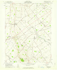 1961 Bowersville1963 Print · USGSThe rural landscape of Greene and Clinton counties is documented here in the early sixties, showing a region defined by its small farming settlements and family cemeteries. Genealogists can trace local roots at Hussey Cem and Grassy Run Cem or locate old community centers like Bowersville and Bloomington.2 unique versions available
 - 1962 Map of Columbus
 1962 Columbus1962 Print · USGSCentral Ohio during the early sixties reveals a transition from the industrial corridors of Columbus to the forested ridges of the south. Genealogists and historians can trace the rail networks of the Baltimore & Ohio RR and find local landmarks like Washington Court House and Camp Sherman Military Reservation.
 - 1967 Map of Columbus, 1969 Print
 1967 Columbus1969 Print · USGSCentral Ohio during the late sixties serves as a vital corridor of rail and aviation, from the industrial streets of Springfield to the hangar lines of Lockbourne Air Force Base. Genealogists and researchers can trace the growth of towns like Circleville and London or locate rural landmarks such as St Paul church and the London Correctional Institution.2 unique versions available
 - 1986 Map of Springfield
 1986 Springfield1986 Print · USGSCentral Ohio in the mid-1980s shows the bustling rail-and-road network connecting Springfield and Xenia to the western outskirts of Columbus. Researchers can trace old family sites and transit routes through Glen Haven Mem Cem, Madison Lake State Park, and the CONRAIL line.2 unique versions available
 - 2010 Map of Bowersville, 2010 Print
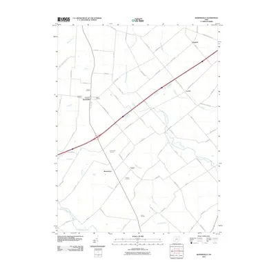 2010 Bowersville2010 Print · USGSBowersville and the rural townships of Clinton County are shown here in the early twenty-first century amidst a landscape of established family farms. Genealogists can locate numerous local burial sites including Hussey Cemetery, Bloomington Cemetery, and the Bowersville Post Office.
 - 2013 Map of Bowersville, 2013 Print
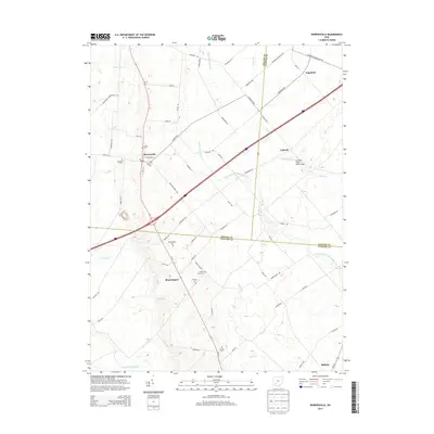 2013 Bowersville2013 Print · USGSThe rural crossroads and family burial grounds of the Ohio countryside are preserved here in the early twenty-first century. Researchers can trace local lineages through Hussey Cemetery and Bloomington Cemetery or locate the rural settlement of Luttrell.
 - 2016 Map of Bowersville, 2016 Print
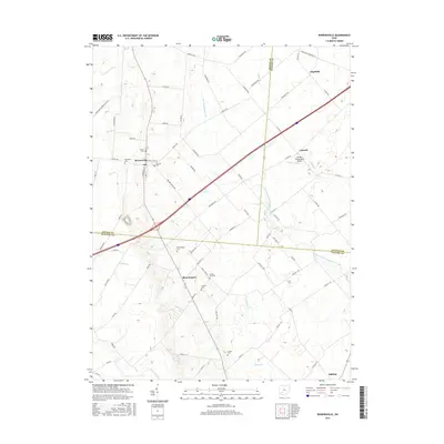 2016 Bowersville2016 Print · USGSThis rural area on the Clinton and Greene County border shows the landscape of Southwest Ohio in the mid-2010s. Researchers can locate numerous local burial sites like Bloomington Cem and Thorpe Cem or trace the path of Grassy Run.
 - 2019 Map of Bowersville, 2019 Print
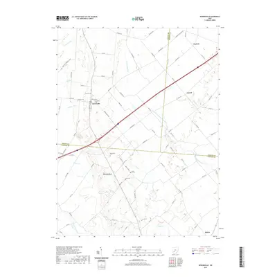 2019 Bowersville2019 Print · USGSThe rural crossroads and burial grounds of the Clinton and Greene County border are meticulously mapped in this contemporary survey. Genealogists and local historians can trace legacy sites like Stewart Cem, the hamlet of Bloomington, and small waters like Grog Run.
 - 2023 Map of Bowersville, 2023 Print
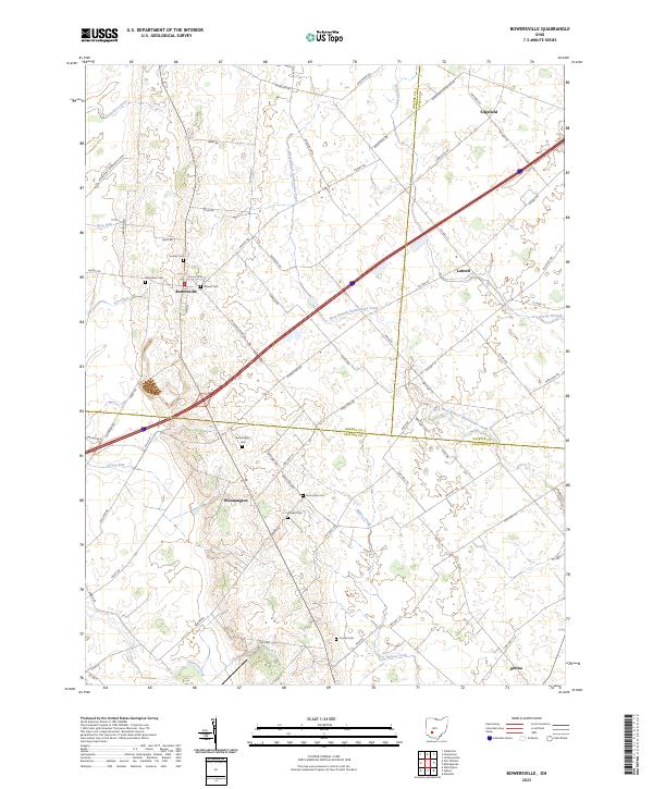 2023 Bowersville2023 Print · USGSThe rural landscape where Greene, Fayette, and Clinton Counties meet is captured here in the early twenty-first century. Researchers can locate numerous family burial grounds including Hussey Cem and Coulter Cem near the village of Bowersville.
End of results
Showing maps 1-13 of 13
Top cities near Bowersville
- Fairborn historical maps
- Xenia historical maps
- Wilmington historical maps
- Cedarville historical maps
- Yellow Springs historical maps
- New Jasper historical maps
See more
Frequently asked questions
- What are the different types of historical maps available for Bowersville?
- What is the oldest map of Bowersville?
- Where can I purchase historical maps of Bowersville for my home or office?
- Where can I download high-res historical maps of Bowersville?
- Are there historical topographic maps available for Bowersville?
- Is there historical aerial imagery available for Bowersville?
- Where are historical maps of Bowersville sourced from?