Old Maps of Antrim, Ohio for Hiking & Exploration
Hike through history with 14 historic maps of Antrim. Explore old trails, ghost towns, and forgotten backroads — perfect for outdoor adventurers and local explorers.
- Rediscover forgotten places: Map out old mining camps, roads, and footpaths that no longer exist on modern maps.
- Layer with modern tools: Combine with LiDAR or satellite views to plan hikes through historical terrain.
- Made for exploration: Popular among hikers, overlanders, and local history lovers.
Use these maps to find adventure and explore the hidden past of Antrim.
Antrim, OH maps
(14)- 1909 Map of Antrim
 1909 Antrim1909 Print · USGSEastern Ohio at the turn of the century reveals a landscape of ridge-top farms and valley settlements centered around Antrim and Londonderry. Genealogists can trace family footprints across township lines to sites like Allen Chapel, Moccasin School, and Sewellsville.2 unique versions available
 - 1911 Map of Antrim
 1911 Antrim1911 Print · USGSGuernsey County and parts of Harrison and Tuscarawas Counties appear here just after the first decade of the century, when the rural landscape was dotted with family-named schools and crossroads. Genealogists can trace the exact locations of vanished local landmarks like Moccasin School, Wesley Church, and the dual-named Winterset P.O. Winchester.3 unique versions available
 - 1951 Map of Canton
 1951 Canton1951 Print · USGSThe industrial heartland of Ohio and Pennsylvania reached its mid-century peak during this era of heavy rail and river transit. Genealogists and historians can trace the development of steel towns like Aliquippa and Weirton alongside the Ohio River and major lines of the Pennsylvania RR.
 - 1953 Map of Canton
 1953 Canton1953 Print · USGSThe industrial heartland of Ohio and Pennsylvania is captured at its mid-century peak in this detailed regional survey. Genealogists and historians can trace the vast rail networks of the Pennsylvania RR and find local landmarks like Nimisila Reservoir and Tappan Reservoir.
 - 1957 Map of Canton, 1971 Print
 1957 Canton1971 Print · USGSThe industrial heartland of eastern Ohio and western Pennsylvania comes alive in this mid-century survey of the Ohio River Valley. Trace the heritage of rail and river commerce through Pittsburgh, the massive steel towns along the Ohio River, and major junctions on the Pennsylvania RR.3 unique versions available
 - 1962 Map of Canton
 1962 Canton1962 Print · USGSThe industrial heartland of Eastern Ohio and Western Pennsylvania thrives in the early sixties as steel mills and rail lines dominate the river valleys. Genealogists and historians can trace local landmarks like McKinley National Memorial, Malone College, and industrial sites such as Republic Steel Corp.2 unique versions available
 - 1962 Map of Antrim, 1963 Print
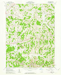 1962 Antrim1963 Print · USGSGuernsey County in the early sixties reveals a landscape shaped by historical land grants and emerging industry. Genealogists can locate family sites near Salt Fork Ch, McCoy Ch Cem, or the old Oxford Township Sch.2 unique versions available
 - 1993 Map of Antrim
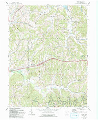 1993 Antrim1993 Print · USGSGuernsey County in the early nineties remains a landscape of ridge-top roads and creek-bottom settlements. Researchers can trace the United States Military District Boundary or find local landmarks like McCoy Ch Cem and the Mennonite Ch.
 - 1994 Map of Antrim, 1998 Print
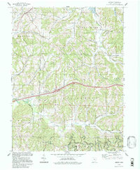 1994 Antrim1998 Print · USGSGuernsey County's rural townships are shown in the 1990s as the landscape transitions from old survey boundaries to modern infrastructure. Researchers can locate ancestral landmarks like the Bond Cem, Salt Fork Ch, and the intersection of the Old Seven Ranges.
 - 2010 Map of Antrim, 2010 Print
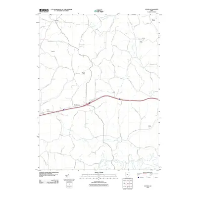 2010 Antrim2010 Print · USGSGuernsey County's rural character and long-standing family foundations are clear in this early 21st-century study. Genealogists can trace local heritage through several burial sites like Carlisle Cemetery, Bond Cemetery, and Pisgah Cemetery.
 - 2013 Map of Antrim, 2013 Print
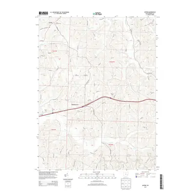 2013 Antrim2013 Print · USGSGuernsey County's agricultural highlands are documented here during the early twenty-first century as the traditional rural landscape meets modern infrastructure. Genealogists can locate family burial sites including Carlisle Cem, Bond Cem, and the Salt Fork Baptist Cem.
 - 2016 Map of Antrim, 2016 Print
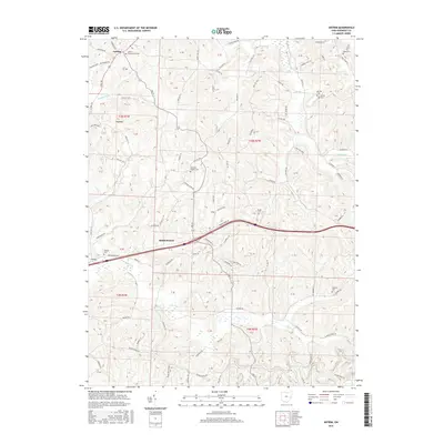 2016 Antrim2016 Print · USGSGuernsey County's agricultural and rural landscape is shown here in the early twenty-first century, centered on the settlements of Middlebourne and Antrim. Researchers can trace local heritage through numerous historic burial sites including Salt-Fork Baptist Cem, Fletcher Cem, and Pisgah Cem.
 - 2019 Map of Antrim, 2019 Print
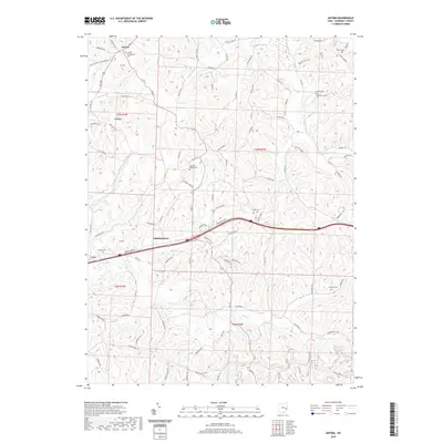 2019 Antrim2019 Print · USGSGuernsey County's rolling upland terrain is captured here in the late twenty-teens, showing the enduring rural character of the eastern Ohio countryside. Genealogists can locate several historic burial sites like Carlisle Cem and the Bunfills Cem near the older settlements of Antrim and Middlebourne.
 - 2023 Map of Antrim, 2023 Print
 2023 Antrim2023 Print · USGSGuernsey County's rolling hills and creek valleys are documented here in the early twenty-first century, centered on the historic crossroads of Antrim and Middlebourne. Genealogists can locate several local burial sites including McCoy Cem, Pisgah Cem, and the Antrim Presbyterian Cem.
End of results
Showing maps 1-14 of 14
Top cities near Antrim
- Cambridge historical maps
- Barnesville historical maps
- Newcomerstown historical maps
- Byesville historical maps
- Center historical maps
- Rush historical maps
See more
Frequently asked questions
- What are the different types of historical maps available for Antrim?
- What is the oldest map of Antrim?
- Where can I purchase historical maps of Antrim for my home or office?
- Where can I download high-res historical maps of Antrim?
- Are there historical topographic maps available for Antrim?
- Is there historical aerial imagery available for Antrim?
- Where are historical maps of Antrim sourced from?