Old Maps of Cambridge, Ohio for Hiking & Exploration
Hike through history with 35 historic maps of Cambridge. Explore old trails, ghost towns, and forgotten backroads — perfect for outdoor adventurers and local explorers.
- Rediscover forgotten places: Map out old mining camps, roads, and footpaths that no longer exist on modern maps.
- Layer with modern tools: Combine with LiDAR or satellite views to plan hikes through historical terrain.
- Made for exploration: Popular among hikers, overlanders, and local history lovers.
Use these maps to find adventure and explore the hidden past of Cambridge.
Cambridge, OH maps
(35)- 1909 Map of Cambridge, 1963 Print
 1909 Cambridge1963 Print · USGSGuernsey County and the city of Cambridge are documented here in the early nineteen-hundreds, showing a region structured by river valleys and the historic National Road. Genealogists can trace early homesteads near Barnes Mill, the Galigher PO post office, and dozens of rural school sites.
 - 1911 Map of Cumberland, 1939 Print
 1911 Cumberland1939 Print · USGSSoutheastern Ohio at the start of the twentieth century was a landscape of ridge-top schools and valley rail junctions. Genealogists can trace family footprints through dozens of rural landmarks like Goshen Church, Dogtown, and the Rough and Ready School.2 unique versions available
 - 1912 Map of Cambridge, 1946 Print
 1912 Cambridge1946 Print · USGSGuernsey County was a bustling hub of rail and river commerce at the start of the century. You can trace the path of the National Road and locate family landmarks like Barnes Mill, Zion Church, and dozens of district schools.2 unique versions available
 - 1949 Map of Clarksburg
 1949 Clarksburg1949 Print · USGSThe upper Ohio River valley and the industrial heart of West Virginia come into focus during this post-war period. Genealogists and researchers can trace the rail corridors of the Baltimore and Ohio and locate centers like Fairmont, Grafton, and Waynesburg.
 - 1951 Map of Canton
 1951 Canton1951 Print · USGSThe industrial heartland of Ohio and Pennsylvania reached its mid-century peak during this era of heavy rail and river transit. Genealogists and historians can trace the development of steel towns like Aliquippa and Weirton alongside the Ohio River and major lines of the Pennsylvania RR.
 - 1953 Map of Canton
 1953 Canton1953 Print · USGSThe industrial heartland of Ohio and Pennsylvania is captured at its mid-century peak in this detailed regional survey. Genealogists and historians can trace the vast rail networks of the Pennsylvania RR and find local landmarks like Nimisila Reservoir and Tappan Reservoir.
 - 1956 Map of Clarksburg, 1966 Print
 1956 Clarksburg1966 Print · USGSThe Ohio River valley and the industrial heart of West Virginia are seen here in the mid-1950s as rail and river commerce thrived. Researchers can trace historic transport lines like the Baltimore and Ohio RR and locate ancestral homes in Clarksburg, Moundsville, or Parkersburg.2 unique versions available
 - 1957 Map of Canton, 1971 Print
 1957 Canton1971 Print · USGSThe industrial heartland of eastern Ohio and western Pennsylvania comes alive in this mid-century survey of the Ohio River Valley. Trace the heritage of rail and river commerce through Pittsburgh, the massive steel towns along the Ohio River, and major junctions on the Pennsylvania RR.3 unique versions available
 - 1961 Map of Clarksburg
 1961 Clarksburg1961 Print · USGSThe mid-century industrial and river landscapes of West Virginia and Ohio are detailed here, centered on the Ohio River. Researchers can trace the Baltimore and Ohio rail lines connecting towns like Parkersburg, Clarksburg, and Monongah.
 - 1961 Map of Byesville, 1963 Print
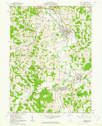 1961 Byesville1963 Print · USGSGuernsey County's mining and rail landscape is captured here in the early sixties, showing the transition between historic military districts and congress lands. Genealogists can locate family sites at Greenwood Cemetery, Beech Grove Sch, and along the Old Railroad Grade.4 unique versions available
 - 1962 Map of Canton
 1962 Canton1962 Print · USGSThe industrial heartland of Eastern Ohio and Western Pennsylvania thrives in the early sixties as steel mills and rail lines dominate the river valleys. Genealogists and historians can trace local landmarks like McKinley National Memorial, Malone College, and industrial sites such as Republic Steel Corp.2 unique versions available
 - 1962 Map of Bloomfield, 1963 Print
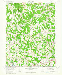 1962 Bloomfield1963 Print · USGSEastern Ohio’s ridgelines and creek valleys are captured here in the early sixties, showing the expansion of New Concord and the local energy economy. Researchers can locate family landmarks like Hawthorne Cem, the Ford Cem, and the historic Lebanon Ch.4 unique versions available
 - 1962 Map of Cambridge, 1963 Print
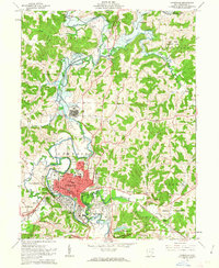 1962 Cambridge1963 Print · USGSMid-century Cambridge is a thriving rail and industrial center where the Baltimore and Ohio and Pennsylvania lines meet. Genealogists and historians can trace neighborhood growth through local landmarks like Lincoln Sch, the Cambridge State Hospital, and Northwood Cemetery.3 unique versions available
 - 1980 Map of Senecaville, 1983 Print
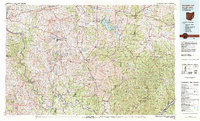 1980 Senecaville1983 Print · USGSEastern Ohio at the start of the eighties reveals a complex landscape of coal extraction and river commerce. Genealogists and historians can trace rail lines like the Conrail and Baltimore and Ohio RR connecting towns like Byesville and Woodsfield.2 unique versions available
 - 1988 Map of Clarksburg, 1989 Print
 1988 Clarksburg1989 Print · USGSThe central Appalachians are documented in detail during the late eighties, showing the industrial and river-based economies of West Virginia, Ohio, and Pennsylvania. Researchers can trace historic rail routes like the B & O RR and locate river towns from St Marys to Parkersburg.
 - 1993 Map of Bloomfield
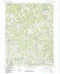 1993 Bloomfield1993 Print · USGSGuernsey County's rural landscape is captured here in the early nineties, showing a region defined by winding creek valleys and hilltop settlements. Researchers can trace family history through sites like Indian Camp, Northfield Cem, and the Mt Harmon Ch near the banks of Wills Creek Lake.
 - 1993 Map of Cambridge, 1994 Print
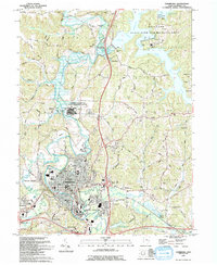 1993 Cambridge1994 Print · USGSThe city of Cambridge and the massive Salt Fork Lake reservoir define this Guernsey County landscape in the early nineties. Researchers can trace local genealogy through Northwood Cemetery and St Lukes Chapel or locate old industrial sites like Mineral Siding.
 - 1994 Map of Byesville, 1998 Print
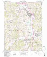 1994 Byesville1998 Print · USGSByesville and Pleasant City appear here in the mid-1990s, surrounded by an active landscape of extraction and deep-rooted community ties. Researchers can trace family history through sites like Greenwood Cemetery, Beech Grove Sch, and the Old Railroad Grade.
 - 1994 Map of Cambridge, 1998 Print
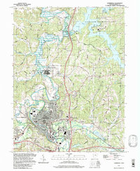 1994 Cambridge1998 Print · USGSCambridge and its surrounding Guernsey County townships are shown here during a period of industrial and recreational expansion. Genealogists can trace family names through landmarks like Northwood Cem, St. Lukes Chapel, and the vanished Mineral Siding rail stop.
 - 1994 Map of Bloomfield, 1998 Print
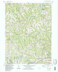 1994 Bloomfield1998 Print · USGSGuernsey and Muskingum counties are shown here in the 1990s, captured just before the turn of the century. You can trace family roots at Northfield Cem, locate the Indian Camp Covered Bridge, or find old schools like Pike Sch.
 - 2010 Map of Byesville, 2010 Print
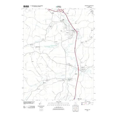 2010 Byesville2010 Print · USGSGuernsey County's industrial and rural heritage is on full display in this early twenty-first-century survey of the Wills Creek valley. Researchers can trace family roots through numerous sites like Greenwood Cemetery or locate the old post offices in Derwent and Buffalo.
 - 2010 Map of Bloomfield, 2010 Print
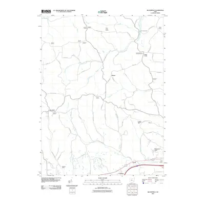 2010 Bloomfield2010 Print · USGSGuernsey County's rural landscape is captured here in the early twenty-first century, showing a region defined by its creek valleys and quiet hilltop settlements. Genealogists can trace dozens of burial sites, including the Hopewell Methodist Episcopal Cemetery, Sarchet Run Cemetery, and landmarks like the Indian Camp Bridge.
 - 2010 Map of Cambridge, 2010 Print
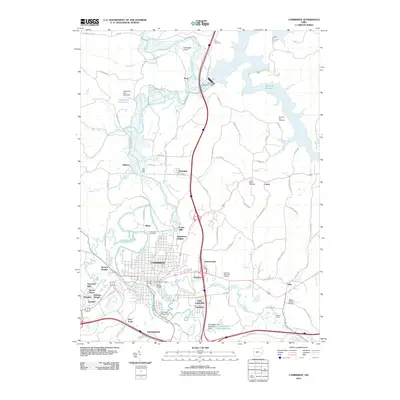 2010 Cambridge2010 Print · USGSGuernsey County's hub at the turn of the millennium shows the expansion of Cambridge and its surrounding hill country. Genealogists can locate family sites at Old City Cemetery and Bells Cemetery, or trace the rail line past Mineral Siding.
 - 2013 Map of Bloomfield, 2013 Print
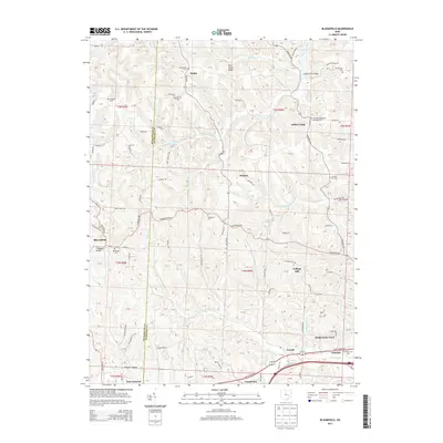 2013 Bloomfield2013 Print · USGSThe Muskingum and Guernsey County borderlands are shown here in the early twenty-first century, preserving a landscape of historic family-named cemeteries. Researchers can locate Bloomfield Cem, Indian Camp, and Twin Sister Knobs among the winding rural routes.
 - 2013 Map of Cambridge, 2013 Print
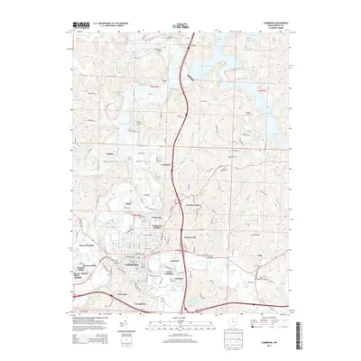 2013 Cambridge2013 Print · USGSGuernsey County's seat at the start of the 2010s shows a landscape defined by the convergence of valley waterways and major transit hubs. Researchers can trace local genealogy through sites like Founders Cemetery or locate outlying settlements such as Tyner, Oldham, and Craig.
Showing maps 1-25 of 35
Top cities near Cambridge
- Coshocton historical maps
- New Concord historical maps
- Byesville historical maps
- Center historical maps
- Senecaville historical maps
- Pleasant City historical maps
See more
Top neighborhoods of Cambridge
- Barton Manor historical maps
- Browns Heights historical maps
- East Cambridge historical maps
- Meadow Village historical maps
- Sycamore Hills historical maps
- Wheeling Avenue Historic District historical maps
Frequently asked questions
- What are the different types of historical maps available for Cambridge?
- What is the oldest map of Cambridge?
- Where can I purchase historical maps of Cambridge for my home or office?
- Where can I download high-res historical maps of Cambridge?
- Are there historical topographic maps available for Cambridge?
- Is there historical aerial imagery available for Cambridge?
- Where are historical maps of Cambridge sourced from?