2010s Maps of Sycamore Township, Ohio
Explore 16 historic maps of Sycamore Township from the 2010s. These maps offer a rare glimpse into what life looked like during the 2010s — showing old roads, neighborhoods, homes, and landmarks that have changed or disappeared over time.
Whether you're researching your family's past, planning a metal detecting trip, or studying how Sycamore Township's landscape evolved across the 2010s, these high-resolution maps are a powerful tool for exploring the history of this region.
- Focus on a specific era: All maps on this page are from the 2010s, giving you a focused view of this time period.
- See what’s changed: Compare century-old streets, trails, and buildings to today's modern landscape using overlays and satellite layers.
- Research with precision: Use these maps for genealogy, historical research, land use analysis, or educational projects.
- View, download, or print: Maps are fully viewable online in high resolution, and can be downloaded or printed for your own records.
Start exploring Sycamore Township's history through authentic maps from the 2010s. This is your window into the past.
Sycamore Township, OH maps
(16)- 2010 Map of Glendale, 2010 Print
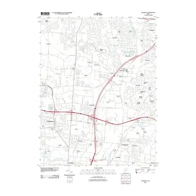 2010 Glendale2010 Print · USGSGreater Cincinnati's northern suburbs show a mix of old family sites and modern commerce in the early 2000s. Genealogists can trace local roots at the Old Saint Marys or Oak Hill Cemetery, while landmarks like Sharon Lake and the West Chester Post Office orient this developing landscape.
 - 2010 Map of Cincinnati East, 2010 Print
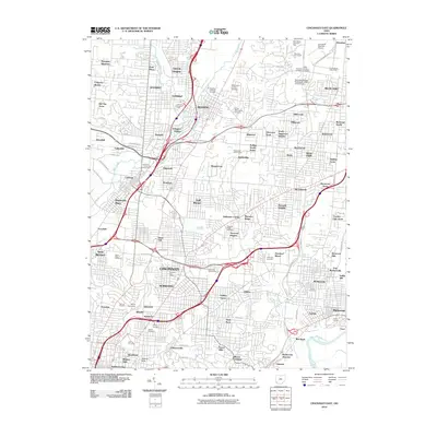 2010 Cincinnati East2010 Print · USGSCincinnati and its eastern suburbs are shown here in the first decade of the millennium, following the valley of Mill Creek through established urban neighborhoods. Researchers can locate family roots at Reading Lockland Cemetery, Saint Marys Cemetery, or the Xavier University campus.
 - 2010 Map of Mason, 2010 Print
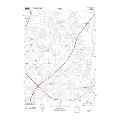 2010 Mason2010 Print · USGSWarren and Hamilton counties come into focus during this period of suburban growth and historical preservation. Genealogists can trace family plots at Rose Hill Cemetery and Union Cemetery or locate historic hubs like Socialville and the Loveland Post Office.
 - 2010 Map of Madeira, 2010 Print
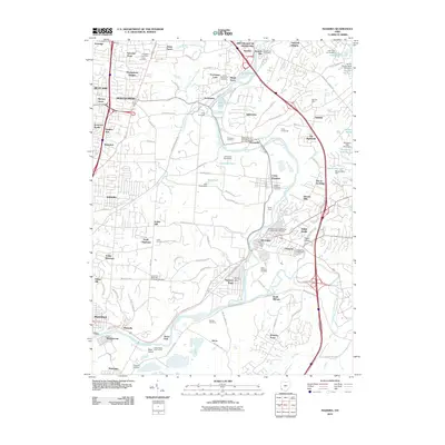 2010 Madeira2010 Print · USGSThe Little Miami River valley and its surrounding communities are captured in the early 2000s as suburban residential patterns met protected green spaces. Researchers can trace historic burial sites like Hopewell Cemetery and locate civic landmarks such as the Milford Post Office.
 - 2013 Map of Glendale, 2013 Print
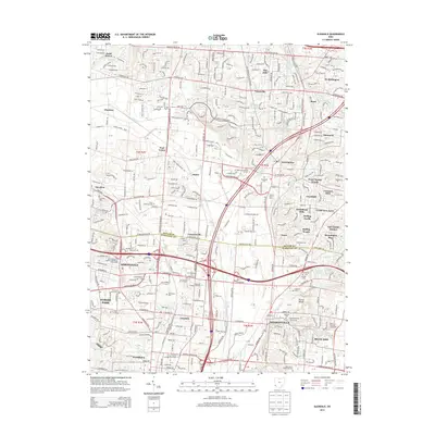 2013 Glendale2013 Print · USGSThe northern Cincinnati suburbs of the early twenty-first century are mapped here as they transition from historic villages to modern residential hubs. Local historians can trace old community names like Port Union and Maud or locate family plots at Oak Hill Cem and Old Saint Marys Cem.
 - 2013 Map of Cincinnati East, 2013 Print
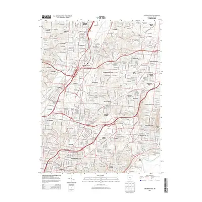 2013 Cincinnati East2013 Print · USGSGreater Cincinnati in the early 2010s reveals a complex urban landscape where historic cemeteries and modern universities meet along the Mill Creek corridor. Genealogists and locals can trace landmarks like Reading Lockland Cem, Xavier Univ, and the neighborhoods of Blue Ash or Wyoming.
 - 2013 Map of Madeira, 2013 Print
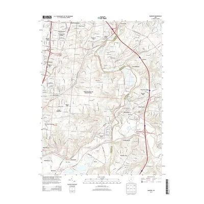 2013 Madeira2013 Print · USGSThe eastern Cincinnati suburbs are captured here in the early twenty-first century as they spread through the valleys of the Little Miami. Researchers can trace family history through numerous local sites like Hopewell Cem, Jones Farm, and the Camp Dennison Cem.
 - 2013 Map of Mason, 2013 Print
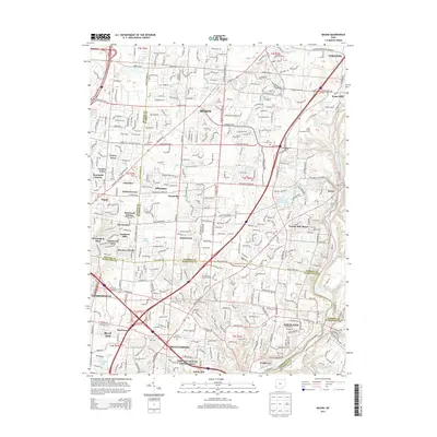 2013 Mason2013 Print · USGSGreater Mason and the Little Miami River valley appear here in the early twenty-first century, showing a landscape of rapid suburban growth and educational expansion. Genealogists can locate family sites at Rose Hill Cem or trace the early paths of Twenty Mile Stand and Kings Mills.
 - 2016 Map of Madeira, 2016 Print
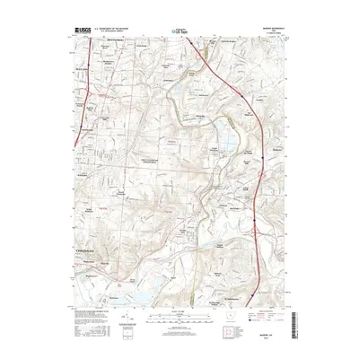 2016 Madeira2016 Print · USGSCincinnati’s eastern suburbs and the winding Little Miami River valley are captured here in the mid-2010s. Researchers can trace family history through many local burial grounds like Evergreen Cem and Saint Andrews Cem or locate old holdings like the Jones Farm.
 - 2016 Map of Cincinnati East, 2016 Print
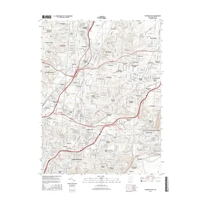 2016 Cincinnati East2016 Print · USGSGreater Cincinnati in the mid-2010s reveals a mature landscape of independent towns and diverse residential enclaves. Genealogists and historians can trace property lines near Xavier Univ or locate ancestral sites at Rest Haven Memorial Park and Mount Notre Dame Cem.
 - 2016 Map of Glendale, 2016 Print
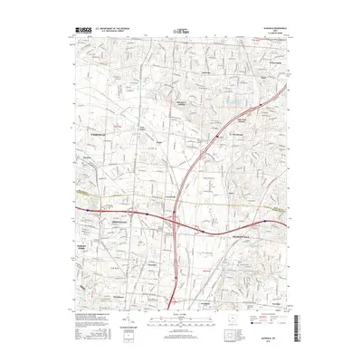 2016 Glendale2016 Print · USGSThe northern Cincinnati suburbs of Glendale and Sharonville are shown here during a period of intense commercial and residential density. Researchers can locate family burial sites at Old Saint Marys Cem or trace the early industrial roots of Rialto and Port Union.
 - 2016 Map of Mason, 2016 Print
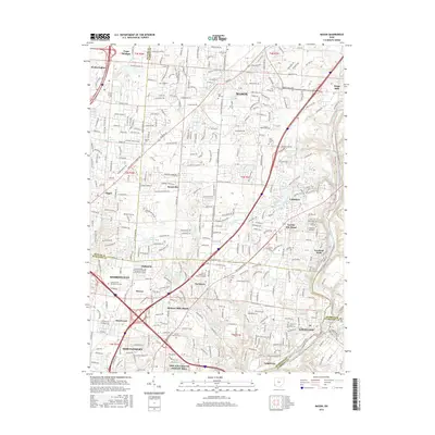 2016 Mason2016 Print · USGSGreater Mason and Montgomery are shown here during a period of suburban density and growth in the mid-2010s. Researchers can locate numerous local cemeteries, including Rose Hill Cem and Union Cem, alongside modern landmarks like Landen and the Buckeye Trail.
 - 2019 Map of Glendale, 2019 Print
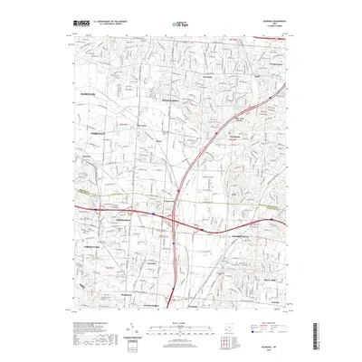 2019 Glendale2019 Print · USGSThe northern suburbs of Cincinnati and southern reaches of Butler County are shown here in the late 2010s. Genealogists can locate numerous historic burial sites such as Oak Hill Cem, Runyan Cem, and the Old Saint Marys Cem.
 - 2019 Map of Mason, 2019 Print
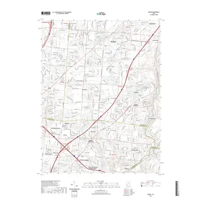 2019 Mason2019 Print · USGSGreater Cincinnati's northern suburbs are mapped in detail during their modern period of rapid growth and transit development. Researchers can trace family history through sites like Gate of Heaven Cem or locate old settlements like Twightwee and Sixteen Mile Stand.
 - 2019 Map of Cincinnati East, 2019 Print
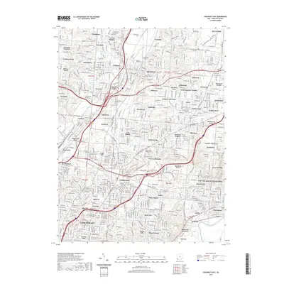 2019 Cincinnati East2019 Print · USGSGreater Cincinnati's eastern suburbs and industrial valleys are shown here in the late 2010s. Researchers can trace the sprawling campus of Xavier University and dozens of historic burial sites like Saints Peter and Paul Cem and Beech Grove Cem.
 - 2019 Map of Madeira, 2019 Print
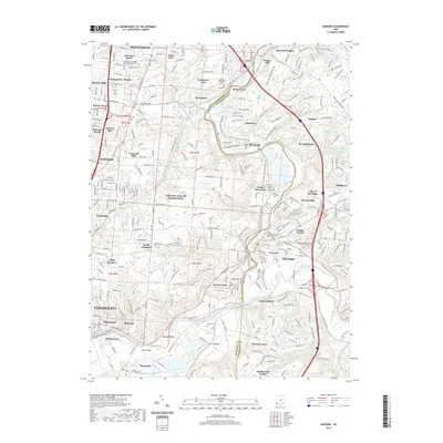 2019 Madeira2019 Print · USGSGreater Cincinnati's eastern suburbs and the winding Little Miami River valley are captured here in the late 2010s. Local researchers can trace family names and sites across numerous historic burial grounds like Jones Cem, Evergreen Cem, and Martins Cem.
End of results
Showing maps 1-16 of 16
Top cities near Sycamore Township
- Cincinnati historical maps
- Hamilton historical maps
- Middletown historical maps
- Fairfield historical maps
- Covington historical maps
- Mason historical maps
See more
Top neighborhoods of Sycamore Township
- North Sagamore Heights historical maps
- Rossmoyne historical maps
- Highpoint historical maps
- Brecon historical maps
- Dillonvale historical maps
- Harewood Acres historical maps
See more
Frequently asked questions
- What are the different types of historical maps available for Sycamore Township?
- What is the oldest map of Sycamore Township?
- Where can I purchase historical maps of Sycamore Township for my home or office?
- Where can I download high-res historical maps of Sycamore Township?
- Are there historical topographic maps available for Sycamore Township?
- Is there historical aerial imagery available for Sycamore Township?
- Where are historical maps of Sycamore Township sourced from?