Old Maps of Deer Ridge, Findlay for Metal Detecting
Plan your next treasure hunt with 16 historic maps of Deer Ridge. Find old homesites, ghost towns, trails, and gathering spots that may be lost to time — perfect for identifying promising metal detecting locations.
- Locate forgotten sites: Uncover places like long-lost settlements, abandoned rail lines, or gathering spots.
- Plan better hunts: Use map overlays combined with LiDAR or satellite views to narrow in on historically rich areas.
- Made for detectorists: Thousands of hobbyists use these maps to discover relics, coins, and hidden history.
Use these historic maps to boost your research and find new opportunities beneath the surface of Deer Ridge.
Deer Ridge, Findlay maps
(16)- 1903 Map of Findlay, 1939 Print
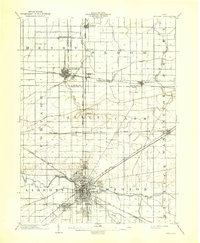 1903 Findlay1939 Print · USGSNorthwest Ohio at the turn of the century was a powerhouse of rail commerce and early industrial energy. Genealogists and historians can trace the intricate grid of Findlay or find the boom-era roots of Oil Center, Arcadia, and Cygnet.2 unique versions available
 - 1956 Map of Toledo, 1968 Print
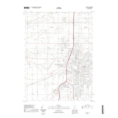
 1956 Toledo1968 Print · USGSNorthwest Ohio and the Lake Erie shoreline are shown in detail during the late fifties, showcasing a landscape of heavy industry, railroads, and island communities. Genealogists and historians can trace rail networks like the Chesapeake & Ohio RR or locate landmarks such as the Erie Proving Ground and Kelleys Island.4 unique versions available
 - 1960 Map of Findlay, 1962 Print
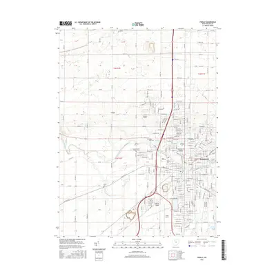
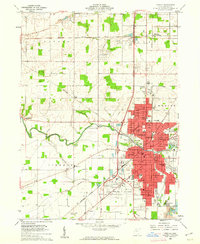 1960 Findlay1962 Print · USGSMid-century Findlay and its surroundings show a thriving hub of education, industry, and rail transport. Researchers can locate family landmarks like Aurand Cem, the Findlay College campus, and the extensive rail yards of the New York Central RR.4 unique versions available
 - 1960 Map of Arcadia, 1962 Print
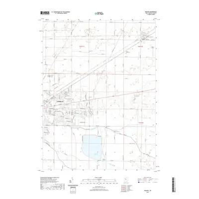
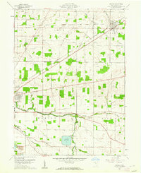 1960 Arcadia1962 Print · USGSHancock County was a landscape of small townships and rail-fed villages in the early sixties. Researchers can trace rural lineages through sites like Hamlin Cem, High Bank Cem, and the waters of the Findlay Reservoir.3 unique versions available
 - 1961 Map of Toledo
 1961 Toledo1961 Print · USGSThe western basin of Lake Erie and the industrial heart of Northern Ohio are captured here during the post-war era. Researchers can trace historical rail lines like the New York Central or locate landmarks like the Erie Ordnance Depot and Pelee Island.
 - 1986 Map of Findlay
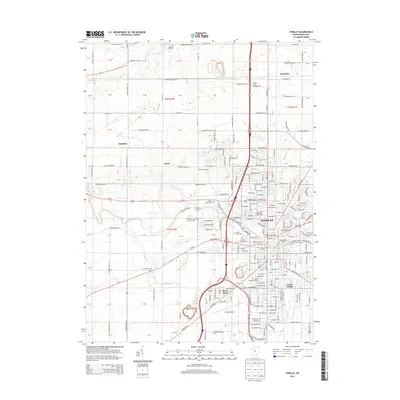
 1986 Findlay1986 Print · USGSNorthwest Ohio's industrial and agricultural heartland is documented here in the mid-1980s, centered on the major hubs of Findlay, Fostoria, and Tiffin. Researchers can trace the intersections of the BALTIMORE AND OHIO railroad and family sites near Greenlawn Cem or Sagar Ridge.2 unique versions available
 - 2010 Map of Arcadia, 2010 Print
 2010 Arcadia2010 Print · USGSCovers Deer Ridge, including Findlay, Arcadia, and other nearby areas
 - 2010 Map of Findlay, 2010 Print
 2010 Findlay2010 Print · USGSCovers Deer Ridge, including Findlay, Chase, and other nearby areas
 - 2013 Map of Arcadia, 2013 Print
 2013 Arcadia2013 Print · USGSCovers Deer Ridge, including Findlay, Arcadia, and other nearby areas
 - 2013 Map of Findlay, 2013 Print
 2013 Findlay2013 Print · USGSCovers Deer Ridge, including Findlay, Chase, and other nearby areas
 - 2016 Map of Findlay, 2016 Print
 2016 Findlay2016 Print · USGSCovers Deer Ridge, including Findlay, Chase, and other nearby areas
 - 2016 Map of Arcadia, 2016 Print
 2016 Arcadia2016 Print · USGSCovers Deer Ridge, including Findlay, Arcadia, and other nearby areas
 - 2019 Map of Findlay, 2019 Print
 2019 Findlay2019 Print · USGSCovers Deer Ridge, including Findlay, Chase, and other nearby areas
 - 2019 Map of Arcadia, 2019 Print
 2019 Arcadia2019 Print · USGSCovers Deer Ridge, including Findlay, Arcadia, and other nearby areas
 - 2023 Map of Findlay, 2023 Print
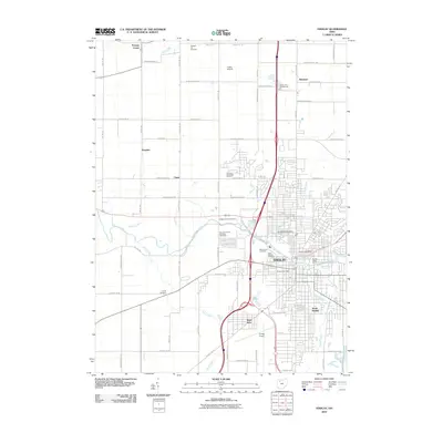
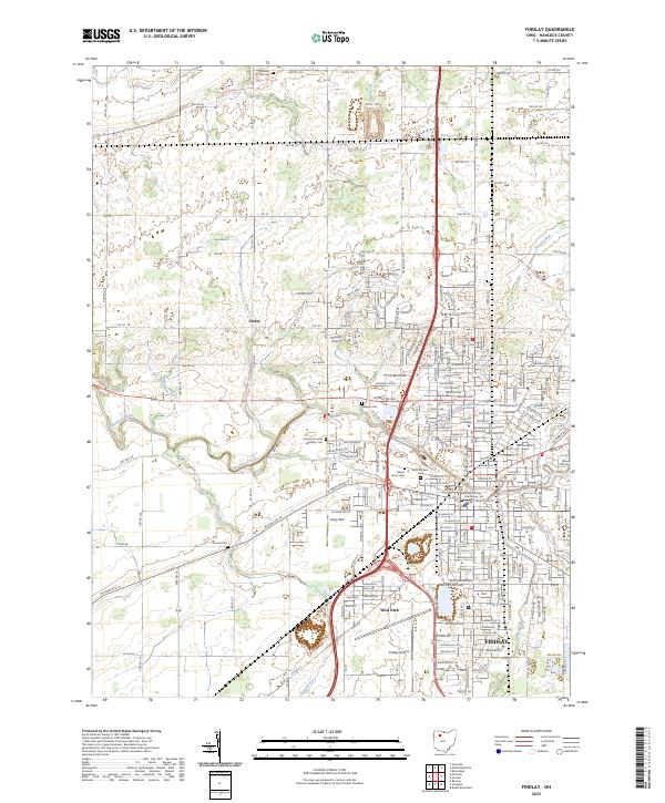 2023 Findlay2023 Print · USGSFindlay and its surrounding townships are captured in detail during this recent period of Midwestern growth. Researchers can locate numerous local burial sites like Hill Cem and Aurand Cem, or trace the path of the Blanchard River through the city's historic core.
 - 2023 Map of Arcadia, 2023 Print
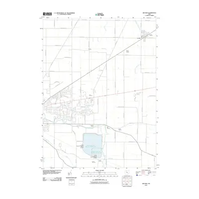
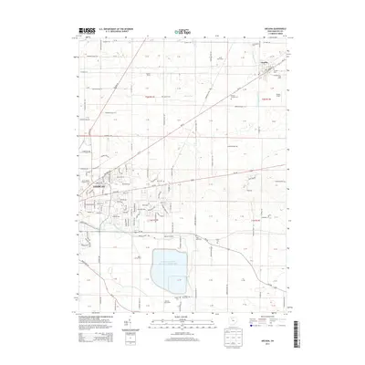
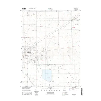
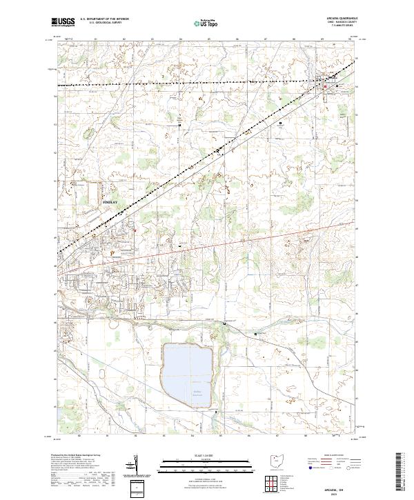 2023 Arcadia2023 Print · USGSHancock County enters the 2020s as a landscape of agricultural tradition and expanding infrastructure. Researchers can locate numerous family burial grounds like High Bank Cem and Bright Cem while tracing the waters of the Blanchard River and Findlay Reservoir.
End of results
Showing maps 1-16 of 16
Frequently asked questions
- What are the different types of historical maps available for Deer Ridge?
- What is the oldest map of Deer Ridge?
- Where can I purchase historical maps of Deer Ridge for my home or office?
- Where can I download high-res historical maps of Deer Ridge?
- Are there historical topographic maps available for Deer Ridge?
- Is there historical aerial imagery available for Deer Ridge?
- Where are historical maps of Deer Ridge sourced from?