Old Maps of Dudley Township, Ohio for Hiking & Exploration
Hike through history with 31 historic maps of Dudley Township. Explore old trails, ghost towns, and forgotten backroads — perfect for outdoor adventurers and local explorers.
- Rediscover forgotten places: Map out old mining camps, roads, and footpaths that no longer exist on modern maps.
- Layer with modern tools: Combine with LiDAR or satellite views to plan hikes through historical terrain.
- Made for exploration: Popular among hikers, overlanders, and local history lovers.
Use these maps to find adventure and explore the hidden past of Dudley Township.
Dudley Township, OH maps
(31)- 1915 Map of Kenton, 1942 Print
 1915 Kenton1942 Print · USGSHardin County at the dawn of the motorized age shows a landscape deeply connected by competing rail lines and rural school districts. Genealogists and historians can trace family roots at dozens of named schoolhouses like Henpeck and Brush College, or locate vanished stops along the Toledo and Ohio Central Railroad.
 - 1915 Map of La Rue, 1944 Print
 1915 La Rue1944 Print · USGSRailroad hubs and rural school districts define the landscape of Marion and Wyandot Counties in the years before the Great War. Genealogists can trace family roots through numerous local landmarks like York Street School, the village of La Rue, and the Scioto Military Land.
 - 1944 Map of Kenton
 1944 Kenton1944 Print · USGSHardin County was a thriving agricultural and railroad hub in the 1940s, centered on the busy junction at Kenton. Researchers can locate dozens of country schools like Brush College and trace the legacy of the Virginia Military Land near Silver Creek.
 - 1950 Map of Marion
 1950 Marion1950 Print · USGSCentral Ohio was a powerhouse of rail and river industry at the mid-century point, serving as a vital corridor between the Great Lakes and the Ohio River valley. Genealogists and rail historians can trace the paths of the Erie RR and Nickel Plate Road through towns like Bucyrus, Galion, and Upper Sandusky.
 - 1960 Map of Marseilles, 1962 Print
 1960 Marseilles1962 Print · USGSThe rural borderlands of Wyandot and Hardin counties are mapped here in the early sixties, centered on the riverside village of Marseilles. Genealogists can trace family names through numerous rural sites like Stansbery Cem, York Street Ch, and the Old Indian Treaty Bdy.4 unique versions available
 - 1961 Map of Mt Victory, 1962 Print
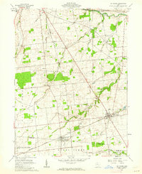 1961 Mt Victory1962 Print · USGSNorthern Ohio agriculture and rail life converge in the early sixties near the Hardin and Logan county line. Genealogists can trace family names and local landmarks like Ridgeway Cem, the Amish Sch, and the New York Central rail line.2 unique versions available
 - 1961 Map of La Rue, 1962 Print
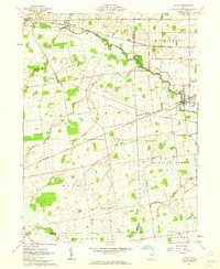 1961 La Rue1962 Print · USGSIn the early 1960s, this pocket of Marion and Hardin counties was a crossroads of the Erie-Lackawanna and New York Central railroads. Genealogists can locate numerous family burial grounds including Bonner Cem and Virden Cem, or trace the path of the Scioto River through La Rue.2 unique versions available
 - 1961 Map of Kenton, 1963 Print
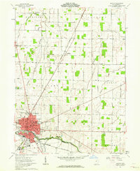 1961 Kenton1963 Print · USGSHardin County during the early 1960s serves as a vital rail and river crossing for the Ohio heartland. Genealogists and local historians can trace family-named roads and rural institutions like St Marys Cem, Hardin Sch, and the Grant (Grants Sta) rail stop.3 unique versions available
 - 1962 Map of Marion
 1962 Marion1962 Print · USGSCentral Ohio during the post-war era showcases a dense network of railroad towns and emerging interstate highways. Genealogists can trace family roots in smaller settlements like Houcktown and Marseilles or locate landmarks near Indian Lake.
 - 1966 Map of Marion, 1968 Print
 1966 Marion1968 Print · USGSCentral Ohio in the mid-sixties is captured during a period of rapid highway expansion and industrial connectivity. Genealogists and historians can trace rail-and-river networks through towns like Marion, Urbana, and Mount Vernon, or locate landmarks such as Malabar Farm and Black Hand Rock.3 unique versions available
 - 1986 Map of Marion
 1986 Marion1986 Print · USGSNorthwest Ohio's agricultural and rail heartland is captured here in the mid-1980s, centered on the expansion of Marion and Kenton. Genealogists can trace family footprints near Bluffton College, old rail stops like Dola, and landmarks such as Indian Lake State Park.2 unique versions available
 - 2010 Map of Kenton, 2010 Print
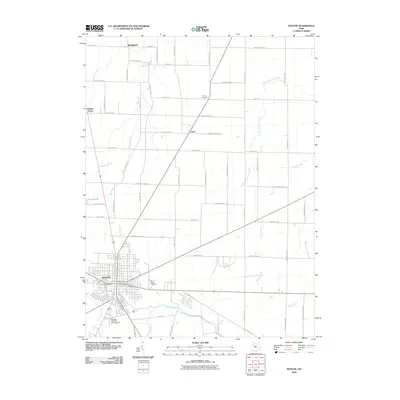 2010 Kenton2010 Print · USGSHardin County at the start of the 2010s shows a landscape where historic river settlements and modern infrastructure meet. Genealogists and local historians can trace family locations near Kenton, Saint Marys Cemetery, and the small community of Grant.
 - 2010 Map of Marseilles, 2010 Print
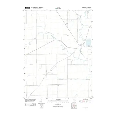 2010 Marseilles2010 Print · USGSThe village of Marseilles sits at the junction of the Tymochtee Creeks in this 2010 snapshot of rural Wyandot County. Genealogists can trace family heritage through over a dozen burial sites, including York Street Cemetery and Shanks Cemetery.
 - 2010 Map of La Rue, 2010 Print
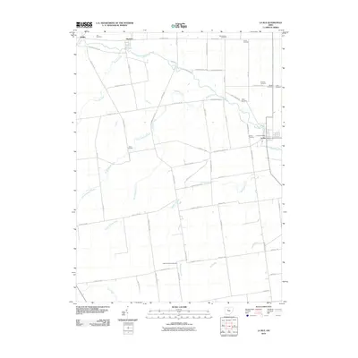 2010 La Rue2010 Print · USGSMarion County's rural townships are documented here during the early twenty-first century, showing the enduring agricultural layout of the Scioto Valley. Genealogists can trace family roots through numerous burial grounds like Vesey Cemetery and Mount Pleasant Cemetery or locate the village of La Rue.
 - 2010 Map of Mount Victory, 2010 Print
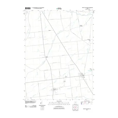 2010 Mount Victory2010 Print · USGSHardin County agriculture and small-town life are captured here in the first decade of the 2000s. Genealogists can trace local history through Mount Victory Cemetery and Ridgeway, while finding landmarks like Grassy Point.
 - 2013 Map of Mount Victory, 2013 Print
 2013 Mount Victory2013 Print · USGSHardin and Logan counties are shown here in the early 2010s, capturing a landscape of established farmsteads and rural crossroads. Researchers can locate family landmarks like McKinley Farms and Elsasser Farm, or trace local roots at Mt Victory Cem and Ridgeway Cem.
 - 2013 Map of Kenton, 2013 Print
 2013 Kenton2013 Print · USGSKenton and its surrounding Hardin County townships are mapped here in the early 2010s, showing a landscape defined by the Scioto River and Blanchard River. Researchers can locate local landmarks like the Hardin County Fairgrounds, Grove Cem, and the settlement of Grant.
 - 2013 Map of Marseilles, 2013 Print
 2013 Marseilles2013 Print · USGSMarseilles and the surrounding township borders of Wyandot, Hardin, and Marion counties are captured here in the early twenty-first century. Genealogists and local researchers can locate over a dozen burial sites, including Shanks Cem and Terry Hill Cem, alongside the Heilman Airport.
 - 2013 Map of La Rue, 2013 Print
 2013 La Rue2013 Print · USGSMarion and Hardin counties are mapped here in the early twenty-first century, showcasing the village of La Rue and its surrounding farmland. Genealogists can trace several family burial sites, including Vesey Cem, Fisher Cem, and Mt Pleasant Cem.
 - 2016 Map of La Rue, 2016 Print
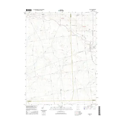 2016 La Rue2016 Print · USGSThe rural borders of Marion and Hardin counties come alive in this recent survey of the upper Scioto River valley. Researchers can trace numerous family burial grounds including Crandall, Myres, and Mount Pleasant alongside the village of La Rue.
 - 2016 Map of Mount Victory, 2016 Print
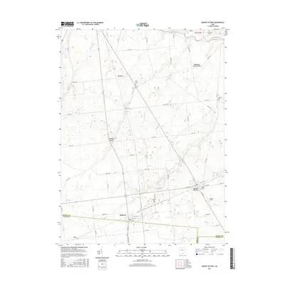 2016 Mount Victory2016 Print · USGSHardin and Logan counties meet in this agricultural corner of Ohio during the mid-2010s. Genealogists and local historians can trace family locations near Mount Victory, Ridgeway, and numerous burial sites like Lynn Grove Cem and Otterbein Cem.
 - 2016 Map of Kenton, 2016 Print
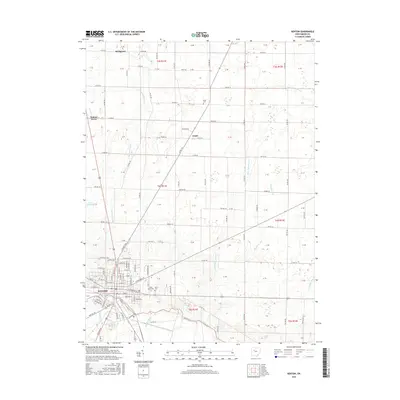 2016 Kenton2016 Print · USGSThe Hardin County seat and its agricultural surroundings are captured in detail during the mid-2010s. Genealogists and local historians can locate several burial sites, including Saint Marys Cem and Grant Cem, or trace the paths of the Blanchard River and Scioto River.
 - 2016 Map of Marseilles, 2016 Print
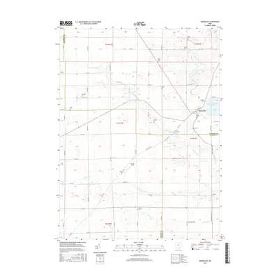 2016 Marseilles2016 Print · USGSMarseilles and its surrounding townships appear here in the mid-2010s, showing a landscape defined by traditional agriculture and local airfields. Family historians can locate over a dozen burial sites, including Terry Hill Cem and McKendree Cem, while tracing the paths of Little Tymochtee Creek and Pawpaw Run.
 - 2019 Map of Mount Victory, 2019 Print
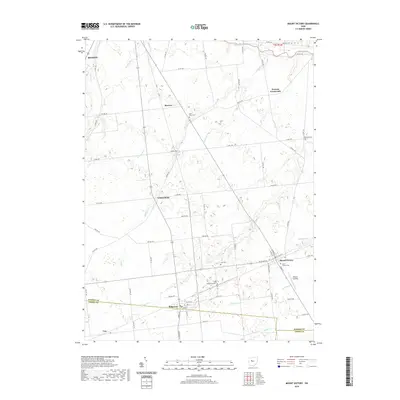 2019 Mount Victory2019 Print · USGSSouthern Hardin County and the villages of Mount Victory and Ridgeway appear here in the late twenty-tens. Genealogists can locate several historic burial sites like Lynn Grove Cem and Otterbein Cem among the farms and creek beds.
 - 2019 Map of La Rue, 2019 Print
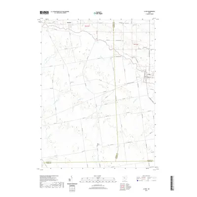 2019 La Rue2019 Print · USGSMarion and Hardin counties meet along the upper Scioto River in this detailed study of the Ohio countryside. Local historians can trace the heritage of La Rue and Hepburn or locate ancestral burial sites like Fisher Cem and Bonner Cem.
Showing maps 1-25 of 31
Top cities near Dudley Township
- Kenton historical maps
- Upper Sandusky historical maps
- Richwood historical maps
- Blanchard historical maps
- Forest historical maps
- Dunkirk historical maps
See more
Top neighborhoods of Dudley Township
- Otterbein historical maps
- Browns Crossroads historical maps
- Pfeiffer historical maps
- Hepburn historical maps
Frequently asked questions
- What are the different types of historical maps available for Dudley Township?
- What is the oldest map of Dudley Township?
- Where can I purchase historical maps of Dudley Township for my home or office?
- Where can I download high-res historical maps of Dudley Township?
- Are there historical topographic maps available for Dudley Township?
- Is there historical aerial imagery available for Dudley Township?
- Where are historical maps of Dudley Township sourced from?