Old Maps of East Shore Cottage Area, Ohio for Academic Research
Study the evolution of East Shore Cottage Area with 13 high-resolution historic maps. Whether you're teaching, researching, or modeling changes in land use, these maps provide essential visual documentation of urban, environmental, and geographic change.
- Analyze long-term change: Track patterns in development, transportation, and natural features.
- Ideal for environmental or urban studies: Support academic projects with primary historical map data.
- Use in the classroom or lab: Educators and researchers rely on these maps to bring historical context to life.
These maps are a powerful tool for teaching, research, and visualizing how East Shore Cottage Area has changed over the decades.
East Shore Cottage Area, OH maps
(13)- 1902 Map of Scio, 1959 Print
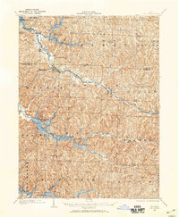 1902 Scio1959 Print · USGSHarrison and Carroll counties at the turn of the century show a region shaped by railroad expansion and early reservoir systems. Genealogists can trace family connections in vanished post offices and villages like Lamartine P.O. Perryville, Deersville, and New Rumley.
 - 1904 Map of Scio, 1944 Print
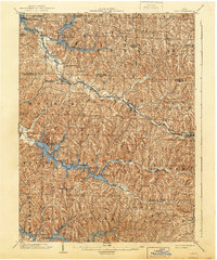 1904 Scio1944 Print · USGSHarrison and Carroll counties are shown here at the height of the steam-rail era, centered on the busy Conotton Creek corridor. Genealogists can trace family footprints in hill-country settlements like Deersville, New Rumley, and the rail junction at Jewett.
 - 1951 Map of Canton
 1951 Canton1951 Print · USGSThe industrial heartland of Ohio and Pennsylvania reached its mid-century peak during this era of heavy rail and river transit. Genealogists and historians can trace the development of steel towns like Aliquippa and Weirton alongside the Ohio River and major lines of the Pennsylvania RR.
 - 1953 Map of Canton
 1953 Canton1953 Print · USGSThe industrial heartland of Ohio and Pennsylvania is captured at its mid-century peak in this detailed regional survey. Genealogists and historians can trace the vast rail networks of the Pennsylvania RR and find local landmarks like Nimisila Reservoir and Tappan Reservoir.
 - 1957 Map of Canton, 1971 Print
 1957 Canton1971 Print · USGSThe industrial heartland of eastern Ohio and western Pennsylvania comes alive in this mid-century survey of the Ohio River Valley. Trace the heritage of rail and river commerce through Pittsburgh, the massive steel towns along the Ohio River, and major junctions on the Pennsylvania RR.3 unique versions available
 - 1961 Map of Deersville, 1963 Print
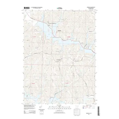
 1961 Deersville1963 Print · USGSDeersville and the surrounding Muskingum Watershed appear in the early sixties as a landscape shaped by massive flood-control reservoirs. Researchers can trace the layout of Tappan Reservoir, old rural churches like Mount Hope Ch, and the historic Dohrman Grant Boundary.4 unique versions available
 - 1962 Map of Canton
 1962 Canton1962 Print · USGSThe industrial heartland of Eastern Ohio and Western Pennsylvania thrives in the early sixties as steel mills and rail lines dominate the river valleys. Genealogists and historians can trace local landmarks like McKinley National Memorial, Malone College, and industrial sites such as Republic Steel Corp.2 unique versions available
 - 1994 Map of Deersville, 1998 Print
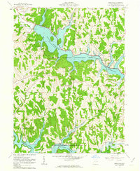
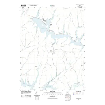
 1994 Deersville1998 Print · USGSHarrison County's lake country is captured here in the 1990s, where the high ridges of Deersville overlook the massive Muskingum Watershed reservoirs. Genealogists can locate family sites near Mount Hope Ch, Deersville Cem, and the old settlement of Minksville.
 - 2010 Map of Deersville, 2010 Print
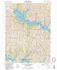
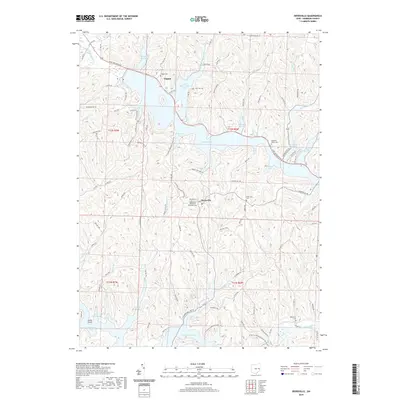
 2010 Deersville2010 Print · USGSCovers East Shore Cottage Area, including Deersville, Tappan, and other nearby areas
 - 2013 Map of Deersville, 2013 Print
 2013 Deersville2013 Print · USGSCovers East Shore Cottage Area, including Deersville, Tappan, and other nearby areas
 - 2016 Map of Deersville, 2016 Print
 2016 Deersville2016 Print · USGSCovers East Shore Cottage Area, including Deersville, Tappan, and other nearby areas
 - 2019 Map of Deersville, 2019 Print
 2019 Deersville2019 Print · USGSCovers East Shore Cottage Area, including Deersville, Tappan, and other nearby areas
 - 2023 Map of Deersville, 2023 Print
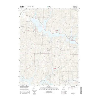
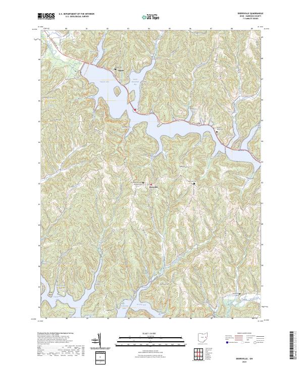 2023 Deersville2023 Print · USGSHarrison County's lake-filled landscape comes into focus in the early 2020s, centered on the historic village of Deersville. Genealogists and hikers can trace the North Country National Scenic Trail or locate burials at Tappan Cem and Pleasant Valley Cem.
End of results
Showing maps 1-13 of 13
Top cities near East Shore Cottage Area
- New Philadelphia historical maps
- Uhrichsville historical maps
- Goshen historical maps
- Cadiz historical maps
- Carrollton historical maps
- Dennison historical maps
See more
Frequently asked questions
- What are the different types of historical maps available for East Shore Cottage Area?
- What is the oldest map of East Shore Cottage Area?
- Where can I purchase historical maps of East Shore Cottage Area for my home or office?
- Where can I download high-res historical maps of East Shore Cottage Area?
- Are there historical topographic maps available for East Shore Cottage Area?
- Is there historical aerial imagery available for East Shore Cottage Area?
- Where are historical maps of East Shore Cottage Area sourced from?