Old Maps of Napoleon Township, Ohio for Metal Detecting
Plan your next treasure hunt with 28 historic maps of Napoleon Township. Find old homesites, ghost towns, trails, and gathering spots that may be lost to time — perfect for identifying promising metal detecting locations.
- Locate forgotten sites: Uncover places like long-lost settlements, abandoned rail lines, or gathering spots.
- Plan better hunts: Use map overlays combined with LiDAR or satellite views to narrow in on historically rich areas.
- Made for detectorists: Thousands of hobbyists use these maps to discover relics, coins, and hidden history.
Use these historic maps to boost your research and find new opportunities beneath the surface of Napoleon Township.
Napoleon Township, OH maps
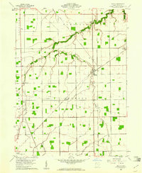
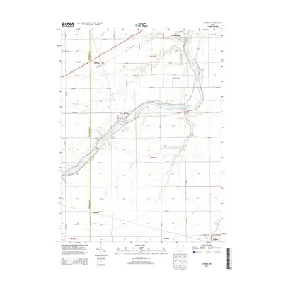
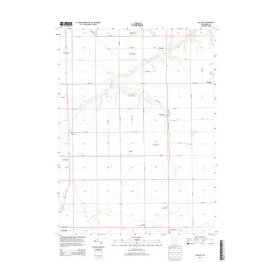
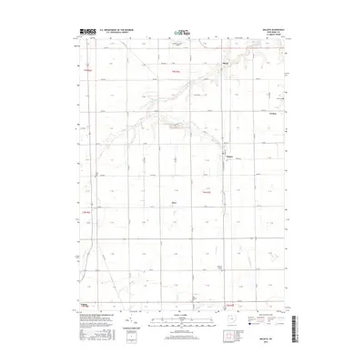
(28)- 1908 Map of Napoleon, 1942 Print
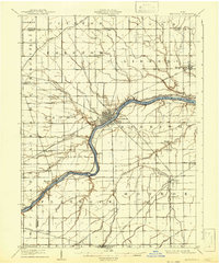 1908 Napoleon1942 Print · USGSNorthwest Ohio was a hub of steam and water transit at the turn of the century, with the Maumee River anchoring the region. Genealogists and rail historians can trace the paths of five different railroads and the historic Miami and Erie Canal through towns like Napoleon and Malinta.2 unique versions available
 - 1953 Map of Fort Wayne, 1963 Print
 1953 Fort Wayne1963 Print · USGSNortheast Indiana and its neighboring borderlands in Michigan and Ohio appear here during a peak era of rail and road expansion. Researchers can trace the massive rail networks of the Nickel Plate Road and Wabash or locate lakeside landmarks like Lake Wawasee and Clear Lake.4 unique versions available
 - 1956 Map of Fort Wayne
 1956 Fort Wayne1956 Print · USGSThe tri-state borderlands of Indiana, Michigan, and Ohio are captured here in the mid-fifties, centered on the growing industrial hub of Fort Wayne. Researchers can trace the heavy rail lines of the New York Central and Pennsylvania alongside prominent water features like Lake Wawasee and the Maumee River.2 unique versions available
 - 1959 Map of Florida, 1961 Print
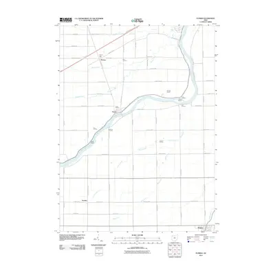
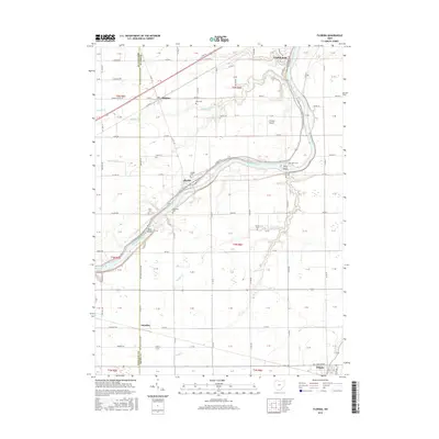
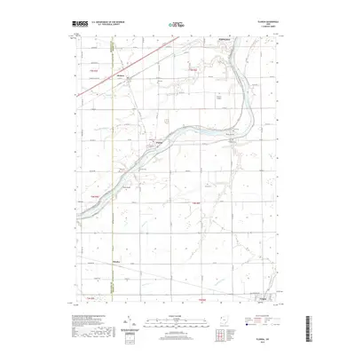
 1959 Florida1961 Print · USGSHenry County farmland meets the river in the late 1950s as the regional rail network and old canal paths still define the landscape. Genealogists can locate family landmarks such as Bethlehem Ch, Okolona, and the Miami and Erie Canal.3 unique versions available
 - 1959 Map of Napoleon West, 1961 Print
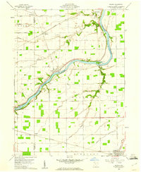
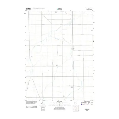
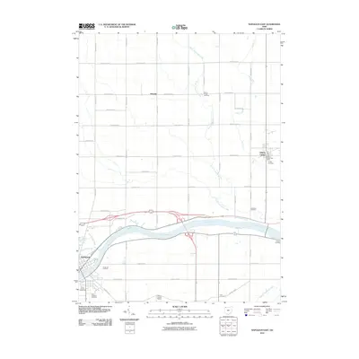
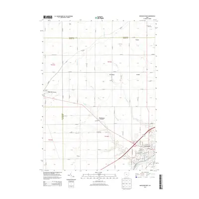
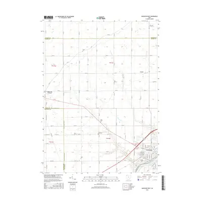
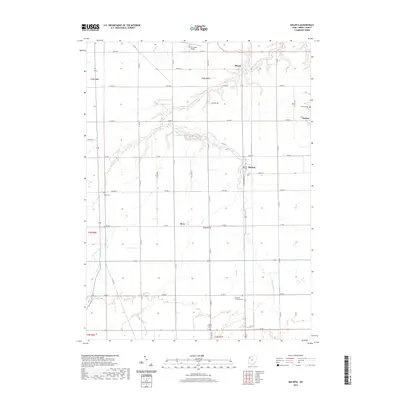
 1959 Napoleon West1961 Print · USGSHenry County is captured in a moment of post-war growth when rural townships and the riverside city of NAPOLEON were connected by rail and river. Genealogists can locate family-named landmarks like Bremer Cem and trace old routes such as the Ironton and Toledo Detroit.2 unique versions available
 - 1960 Map of Napoleon East, 1961 Print
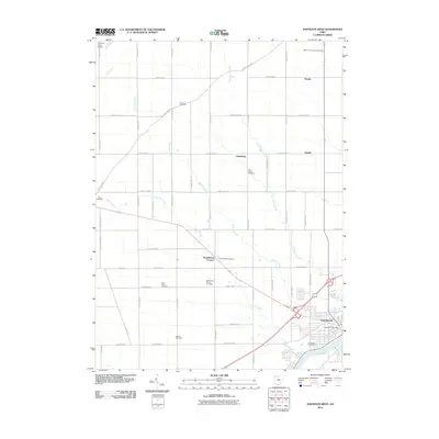
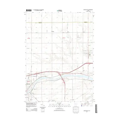
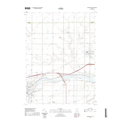
 1960 Napoleon East1961 Print · USGSHenry County in the early sixties shows a landscape shaped by the river and the rail, as the towns of Napoleon and Liberty Center anchored this farming region. Genealogists can locate family sites at Forest Hill Cemetery, Liberty Chapel, and along the old route of the Miami and Erie Canal.3 unique versions available
 - 1960 Map of Malinta, 1961 Print
 1960 Malinta1961 Print · USGSThe fertile landscape of Henry County is captured here in the early sixties as a center of rail commerce and rural life. Genealogists and historians can trace old family footprints near Malinta, Grelton, and country parishes like St Paul Ch and Hope Ch.3 unique versions available
 - 1986 Map of Defiance, 1992 Print
 1986 Defiance1992 Print · USGSNorthwest Ohio and Eastern Indiana appear in the late eighties as a landscape shaped by significant river confluences and rail corridors. Researchers can trace the layout of local towns and landmarks like Defiance College, Forest Hill Cem, and the path of the Norfolk and Western RR.
 - 2010 Map of Malinta, 2010 Print
 2010 Malinta2010 Print · USGSCovers Napoleon Township, including Holgate, Malinta, and other nearby areas
 - 2010 Map of Napoleon West, 2010 Print
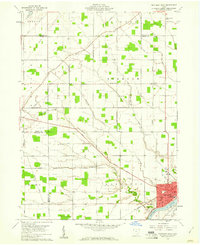
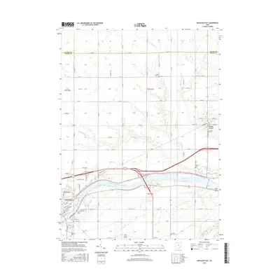
 2010 Napoleon West2010 Print · USGSCovers Napoleon Township, including Napoleon, Lueneburg, and other nearby areas
 - 2010 Map of Napoleon East, 2010 Print
 2010 Napoleon East2010 Print · USGSCovers Napoleon Township, including Napoleon, Liberty Center, and other nearby areas
 - 2010 Map of Florida, 2010 Print
 2010 Florida2010 Print · USGSCovers Napoleon Township, including Napoleon, Holgate, and other nearby areas
 - 2013 Map of Napoleon West, 2013 Print
 2013 Napoleon West2013 Print · USGSCovers Napoleon Township, including Napoleon, Lueneburg, and other nearby areas
 - 2013 Map of Florida, 2013 Print
 2013 Florida2013 Print · USGSCovers Napoleon Township, including Napoleon, Holgate, and other nearby areas
 - 2013 Map of Napoleon East, 2013 Print
 2013 Napoleon East2013 Print · USGSCovers Napoleon Township, including Napoleon, Liberty Center, and other nearby areas
 - 2013 Map of Malinta, 2013 Print
 2013 Malinta2013 Print · USGSCovers Napoleon Township, including Holgate, Malinta, and other nearby areas
 - 2016 Map of Florida, 2016 Print
 2016 Florida2016 Print · USGSCovers Napoleon Township, including Napoleon, Holgate, and other nearby areas
 - 2016 Map of Napoleon West, 2016 Print
 2016 Napoleon West2016 Print · USGSCovers Napoleon Township, including Napoleon, Lueneburg, and other nearby areas
 - 2016 Map of Napoleon East, 2016 Print
 2016 Napoleon East2016 Print · USGSCovers Napoleon Township, including Napoleon, Liberty Center, and other nearby areas
 - 2016 Map of Malinta, 2016 Print
 2016 Malinta2016 Print · USGSCovers Napoleon Township, including Holgate, Malinta, and other nearby areas
 - 2019 Map of Malinta, 2019 Print
 2019 Malinta2019 Print · USGSCovers Napoleon Township, including Holgate, Malinta, and other nearby areas
 - 2019 Map of Napoleon West, 2019 Print
 2019 Napoleon West2019 Print · USGSCovers Napoleon Township, including Napoleon, Lueneburg, and other nearby areas
 - 2019 Map of Napoleon East, 2019 Print
 2019 Napoleon East2019 Print · USGSCovers Napoleon Township, including Napoleon, Liberty Center, and other nearby areas
 - 2019 Map of Florida, 2019 Print
 2019 Florida2019 Print · USGSCovers Napoleon Township, including Napoleon, Holgate, and other nearby areas
 - 2023 Map of Napoleon West, 2023 Print
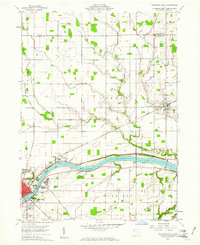
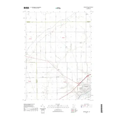
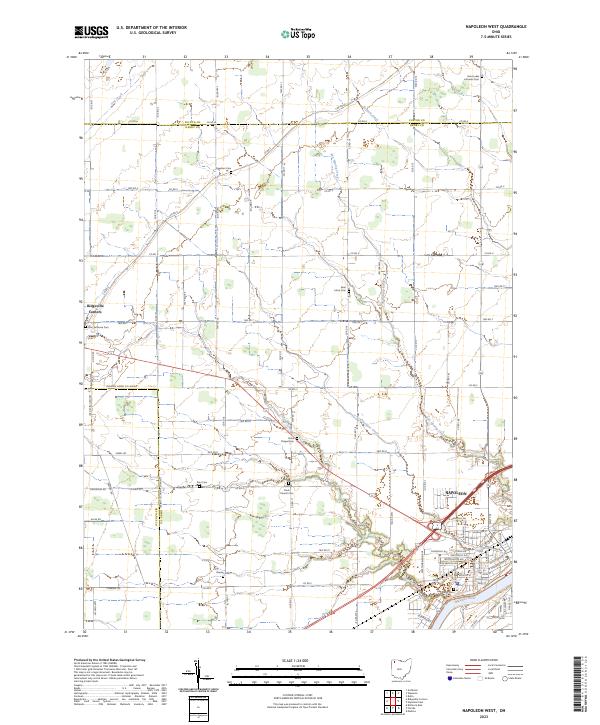 2023 Napoleon West2023 Print · USGSHenry County is showcased in this modern survey of the agricultural heartland near the Maumee River. Genealogists can trace family roots through numerous rural landmarks like Zion Lutheran Cem, Union Chapel Cem, and the village of Ridgeville Corners.
Showing maps 1-25 of 28
Top cities near Napoleon Township
- Defiance historical maps
- Napoleon historical maps
- Wauseon historical maps
- Archbold historical maps
- Delta historical maps
- Holgate historical maps
See more
Top neighborhoods of Napoleon Township
Frequently asked questions
- What are the different types of historical maps available for Napoleon Township?
- What is the oldest map of Napoleon Township?
- Where can I purchase historical maps of Napoleon Township for my home or office?
- Where can I download high-res historical maps of Napoleon Township?
- Are there historical topographic maps available for Napoleon Township?
- Is there historical aerial imagery available for Napoleon Township?
- Where are historical maps of Napoleon Township sourced from?