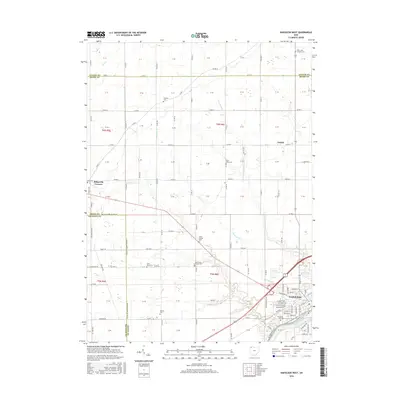
2016 Map of Napoleon West
USGS Topo · Published 2016About this map
Napoleon sits at the bend of the Maumee River, serving as a focal point for the agricultural and transport corridors of Henry County. This 2016 survey highlights the transition from the organized grid of the city to the expansive township and range system that defines the surrounding Northwest Ohio landscape. The riverfront is marked by the N Country National Scenic Trail (Buckeye Trail), which follows the waterway's southern bank, providing a modern recreational layer over this established farming region.
Find a feature on this map
134 named features on this map. Tap any name to fly to it.
Don’t see what you’re looking for? This feature index may not catch every label — zoom into the map to look around manually.
Map Details
Editions of this 2016 Napoleon West Map
This is the sole edition of this map. No revisions or reprints were ever made.
Other maps of this area

1907 · Defiance
USGS Topo · 1:62,500

1908 · Napoleon
USGS Topo · 1:62,500

1909 · Defiance
USGS Topo · 1:62,500

1911 · Wauseon
USGS Topo · 1:62,500

1913 · Wauseon
USGS Topo · 1:62,500

1913 · Alvordton
USGS Topo · 1:62,500

1943 · Wauseon
USGS Topo · 1:62,500

1944 · Alvordton
USGS Topo · 1:62,500

1953 · Fort Wayne
USGS Topo · 1:250,000

1956 · Fort Wayne
USGS Topo · 1:250,000