Old Maps of Highland County, Ohio for Genealogy
Trace your family roots with 124 historic maps of Highland County. These high-res maps reveal old neighborhoods, homesites, landmarks, and streets — helping you uncover where your ancestors lived and how the area evolved over time.
- Explore historic neighborhoods: Identify where your relatives may have lived in the 1800s or 1900s.
- Compare maps over time: Trace the changes in streets, buildings, and landmarks for multi-generational research.
- Perfect for genealogy & ancestry research: Used by family historians and researchers to map out lineage and migration.
These maps are an incredible resource for exploring your personal connection to Highland County's past.
Highland County, OH maps
(124)- 1907 Map of Blanchester
 1907 Blanchester1907 Print · USGSClinton County at the dawn of the twentieth century was a landscape of well-connected rail towns and country parishes. Genealogists can trace family roots through numerous landmarks like Macedonia Chapel, Dutch School, and the Childrens Home near Wilmington.3 unique versions available
 - 1915 Map of Bainbridge
 1915 Bainbridge1915 Print · USGSBefore the modernization of rural Ohio, this 1915 survey captures Highland and Ross counties when one-room schoolhouses and country churches anchored every ridge. Trace family roots at Bainbridge, find the Indian Mound on Paint Creek, or locate Fall Creek Church and Redkey School.2 unique versions available
 - 1917 Map of Bainbridge
 1917 Bainbridge1917 Print · USGSIn the decade before modern highways, this Ohio highland region was a land of ridge-top schools and creek-side mills. Genealogists and historians can locate numerous rural schoolhouses like Walnut Shade School and ancient landmarks including the famous Serpent Mound.4 unique versions available
 - 1917 Map of Greenfield, 1937 Print
 1917 Greenfield1937 Print · USGSSouthern Ohio at the start of the Great War was a network of rail-side towns and rural school districts. Genealogists can trace family roots through numerous local landmarks like Rock Mills, South Salem, and dozens of named schoolhouses such as Sunshine School.2 unique versions available
 - 1917 Map of Hillsboro, 1941 Print
 1917 Hillsboro1941 Print · USGSHighland County during the First World War era was a bustling network of electric rail lines and one-room schoolhouses. Genealogists can locate family landmarks like the Highland County Infirmary or schools such as Kansas College School and Brier College School.2 unique versions available
 - 1917 Map of Sabina, 1943 Print
 1917 Sabina1943 Print · USGSSouthwestern Ohio at the eve of the Great War is a landscape of rural hamlets and railroad junctions. Genealogists can locate family-named landmarks like Snider School or trace the early paths of Darktown and Centerville Lees Creek PO.
 - 1917 Map of Sardinia, 1946 Print
 1917 Sardinia1946 Print · USGSSouthwestern Ohio at the close of the Great War era reveals a landscape of thriving rural schoolhouses and bustling railroad junctions. Genealogists can trace family footprints across dozens of local districts like Richland School or near the Ursuline Convent and Mount Orab.
 - 1943 Map of Sabina
 1943 Sabina1943 Print · USGSMid-century Clinton and Highland counties are shown here as a landscape of rail-connected towns and crossroads hamlets. Genealogists can trace family footprints through numerous rural schools like Slickaway Sch, Powderlick Sch, and the Centerville Lees Creek P O.
 - 1944 Map of Hillsboro
 1944 Hillsboro1944 Print · USGSHighland County is documented here during the mid-forties, showing the vital rail junction at Hillsboro and a dense network of rural schools. Trace ancestral roots through localized landmarks like Brier College Sch, Mowrystown, and Millers Chapel Ch.
 - 1944 Map of Greenfield
 1944 Greenfield1944 Print · USGSMid-century Highland and Ross Counties center on the rail crossroads of Greenfield during the final years of the war. Genealogists can trace rural family life through dozens of named schoolhouses like Pikes Peak Sch and early settlements such as South Salem or Good Hope.
 - 1944 Map of Sardinia
 1944 Sardinia1944 Print · USGSSouthwestern Ohio during the Second World War was a landscape of dense rail networks and dozens of small school districts. Genealogists can trace family footprints through numerous rural landmarks like Richland Sch, Bardwell Corners, and the historic Ursuline Convent.
 - 1947 Map of Columbus, 1948 Print
 1947 Columbus1948 Print · USGSCentral Ohio in the late 1940s is captured in this survey, showing the post-war transition of its rail hubs and military airfield expansions. Genealogists and historians can trace the paths of the Ohio Canal, the Pennsylvania RR lines, and the Camp Sherman Military Reservation.
 - 1960 Map of Greenfield, 1962 Print
 1960 Greenfield1962 Print · USGSThe industrial and rail crossroads of GREENFIELD are captured here in the early 1960s at the junction of two major rail lines. Genealogists can trace family roots through numerous rural sites like Rocky Spring Cem, New Petersburg, and McClain High Sch.3 unique versions available
 - 1960 Map of Lynchburg, 1962 Print
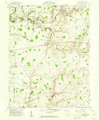 1960 Lynchburg1962 Print · USGSHighland and Clinton counties are shown at the start of the 1960s, documenting a landscape of rural schoolhouses and family cemeteries within the Virginia Military District. Researchers can trace the path of the Baltimore and Ohio railroad through Lynchburg or locate rural landmarks like Salem Sch and Stroup Cem.3 unique versions available
 - 1960 Map of Martinsville, 1962 Print
 1960 Martinsville1962 Print · USGSClinton and Highland counties are shown in the early 1960s as a thriving agricultural landscape defined by the Baltimore and Ohio RR. Researchers can trace old family roots through sites like Klocks Crossing, IOOF Cem, and the rural Glady Ch.
 - 1960 Map of Good Hope, 1962 Print
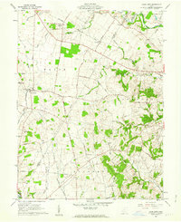 1960 Good Hope1962 Print · USGSFayette and Ross Counties are captured here in the early 1960s, showing a landscape defined by the Toledo and Ohio Central RR and small farming hamlets. Genealogists can locate family landmarks like Waugh Cem, Pisgah Ch, and the Rogers McElwain Cem.2 unique versions available
 - 1960 Map of Leesburg, 1962 Print
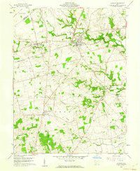 1960 Leesburg1962 Print · USGSHighland County farmland in the early sixties is anchored by the rail crossing at Leesburg and the rural crossroads of Samantha. Genealogists can locate numerous burial sites and community landmarks including Antioch Cem, Township Sch, and Hardin Creek Ch.3 unique versions available
 - 1960 Map of New Martinsburg, 1962 Print
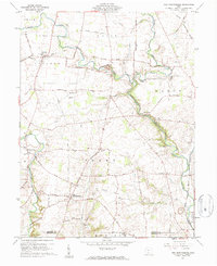 1960 New Martinsburg1962 Print · USGSFayette and Highland counties appear here in the early sixties, a landscape of ridge-top farms and deep creek valleys. Genealogists can locate family burial sites like Cochran Cem and Rock Mills Cem or trace the old Detroit Toledo and Ironton RR line.
 - 1960 Map of New Vienna, 1962 Print
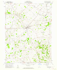 1960 New Vienna1962 Print · USGSThe borderlands of Clinton and Highland Counties come into focus in the early sixties, centered on the railroad hub of New Vienna. Genealogists can trace family names and rural sites like the Gist Settlement, Odd Fellows Cem, and Fairview Ch.2 unique versions available
 - 1960 Map of New Market, 1962 Print
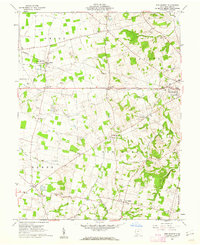 1960 New Market1962 Print · USGSHighland County’s rolling farmland and scattered crossroad hamlets are captured here just after the mid-century. Researchers can trace ancestral sites at Old Dutch Cem and South Liberty Ch, or follow the path of the Baltimore and Ohio through Fairview.3 unique versions available
 - 1961 Map of Columbus
 1961 Columbus1961 Print · USGSCentral and Southern Ohio are captured here in the early sixties, as the region's industrial rail hubs and military bases reached their peak. Genealogists and historians can trace the transition from urban Columbus to rural townships along the Scioto River, locating Lockbourne USAF and old junctions like Washington Court House.
 - 1961 Map of Belfast, 1962 Print
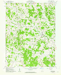 1961 Belfast1962 Print · USGSHighland and Adams counties in the early sixties reveal a landscape of small farming hamlets and numerous family cemeteries. Genealogists and local historians can trace legacy sites like Burnetts Chapel, Old Concord Cem, and the quiet crossroads of Belfast.4 unique versions available
 - 1961 Map of Rainsboro, 1962 Print
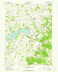 1961 Rainsboro1962 Print · USGSHighland County at the start of the sixties reveals a landscape shaped by water and tradition, from the new shores of Rocky Fork Lake State Park to old creek-side industries. You can trace early settlement life through features like Barretts Mill, the Covered Bridge, and numerous family burial grounds.4 unique versions available
 - 1961 Map of Sardinia, 1962 Print
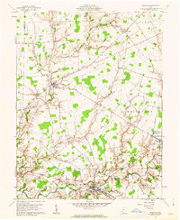 1961 Sardinia1962 Print · USGSThe rural border of Brown and Highland counties comes into sharp focus during the early sixties, centered on the railroad hub at Sardinia. Researchers can trace old family lines through sites like Hollowtown Cem and locate industrial remnants like the Brickkilns near Mowrystown.4 unique versions available
 - 1961 Map of Memphis, 1962 Print
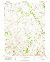 1961 Memphis1962 Print · USGSCentral Ohio’s agricultural landscape is captured here in the early 1960s, showing the rural communities of Sabina and Memphis. Genealogists can trace family roots at Evans Cem, Jeff Cem, and Anders Cem or locate the old Walnut Hill Sch.2 unique versions available
Showing maps 1-25 of 124
Top cities of Highland County
- Hillsboro historical maps
- Greenfield historical maps
- New Market historical maps
- Lynchburg historical maps
- Leesburg historical maps
- Marshall historical maps
See more
Frequently asked questions
- What are the different types of historical maps available for Highland County?
- What is the oldest map of Highland County?
- Where can I purchase historical maps of Highland County for my home or office?
- Where can I download high-res historical maps of Highland County?
- Are there historical topographic maps available for Highland County?
- Is there historical aerial imagery available for Highland County?
- Where are historical maps of Highland County sourced from?