2000s (21st Century) Maps of Ewing, Ohio
Explore 6 historic maps of Ewing from the 2000s (21st Century). These maps offer a rare glimpse into what life looked like during the 2000s — showing old roads, neighborhoods, homes, and landmarks that have changed or disappeared over time.
Whether you're researching your family's past, planning a metal detecting trip, or studying how Ewing's landscape evolved across the 2000s, these high-resolution maps are a powerful tool for exploring the history of this region.
- Focus on a specific era: All maps on this page are from the 2000s, giving you a focused view of this time period.
- See what’s changed: Compare century-old streets, trails, and buildings to today's modern landscape using overlays and satellite layers.
- Research with precision: Use these maps for genealogy, historical research, land use analysis, or educational projects.
- View, download, or print: Maps are fully viewable online in high resolution, and can be downloaded or printed for your own records.
Start exploring Ewing's history through authentic maps from the 2000s. This is your window into the past.
Ewing, OH maps
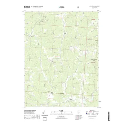
(6)- 2002 Map of New Plymouth, 2006 Print
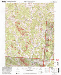 2002 New Plymouth2006 Print · USGSHocking County's ridge-and-hollow terrain is captured here at the start of the millennium, showing a landscape shaped by both the national forest and intensive mining. Researchers can trace rural lineages through numerous sites like Ilesboro Cem, Morris Chapel Cem, and The Ridge Cem.
 - 2011 Map of New Plymouth, 2011 Print
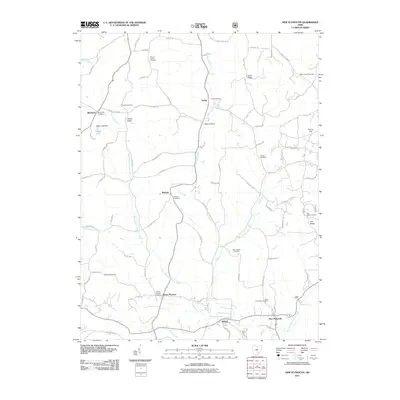 2011 New Plymouth2011 Print · USGSCovers Ewing, including Blackjack, Ilesboro, and other nearby areas
 - 2013 Map of New Plymouth, 2013 Print
 2013 New Plymouth2013 Print · USGSCovers Ewing, including Blackjack, Ilesboro, and other nearby areas
 - 2016 Map of New Plymouth, 2016 Print
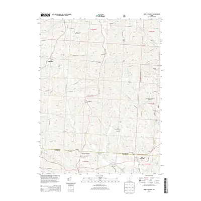
 2016 New Plymouth2016 Print · USGSCovers Ewing, including Blackjack, Ilesboro, and other nearby areas
 - 2019 Map of New Plymouth, 2019 Print
 2019 New Plymouth2019 Print · USGSCovers Ewing, including Blackjack, Ilesboro, and other nearby areas
 - 2023 Map of New Plymouth, 2023 Print
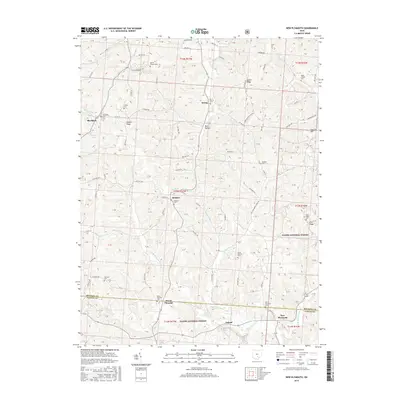
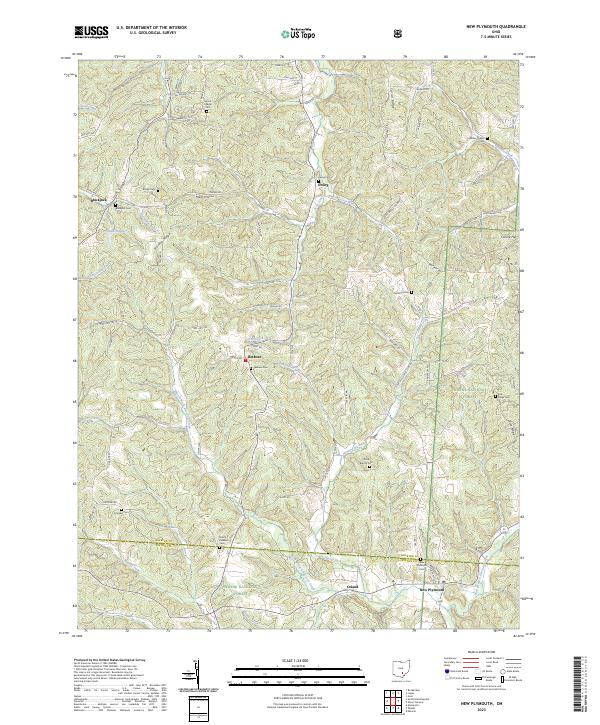 2023 New Plymouth2023 Print · USGSHocking and Vinton counties come into sharp focus in this recent survey of the ridges and valleys near New Plymouth. Genealogists and local historians can trace family locations through numerous rural burial sites like Morris Chapel Cem, Ilesboro Cem, and Meldrim Cem.
End of results
Showing maps 1-6 of 6
Top cities near Ewing
- Lancaster historical maps
- Nelsonville historical maps
- New Lexington historical maps
- McArthur historical maps
- Starr historical maps
- New Straitsville historical maps
See more
Frequently asked questions
- What are the different types of historical maps available for Ewing?
- What is the oldest map of Ewing?
- Where can I purchase historical maps of Ewing for my home or office?
- Where can I download high-res historical maps of Ewing?
- Are there historical topographic maps available for Ewing?
- Is there historical aerial imagery available for Ewing?
- Where are historical maps of Ewing sourced from?